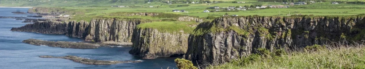

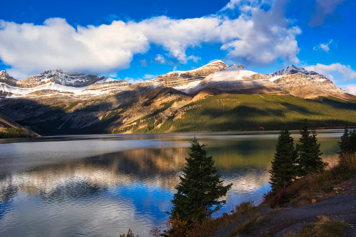
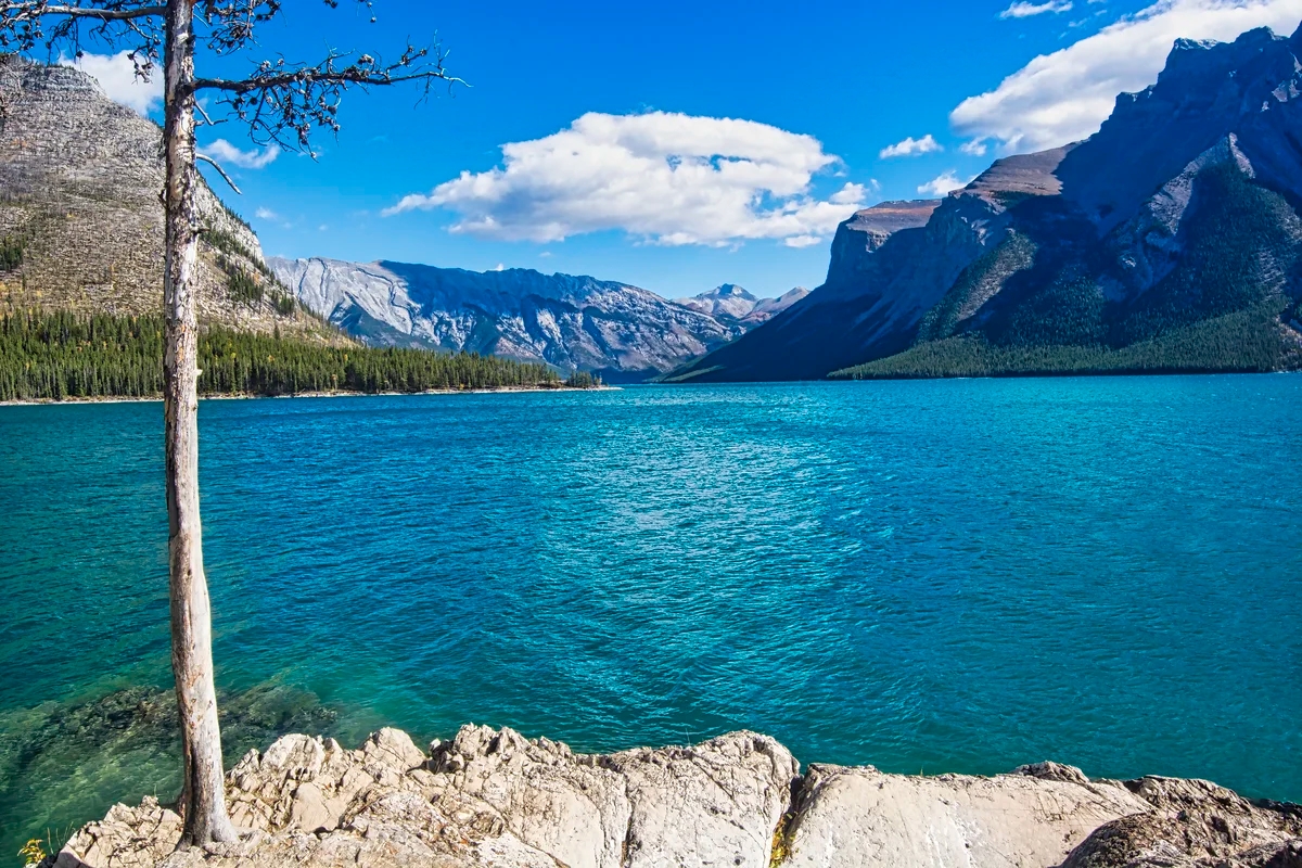
Why Should You Do the Thai Nature Itinerary?
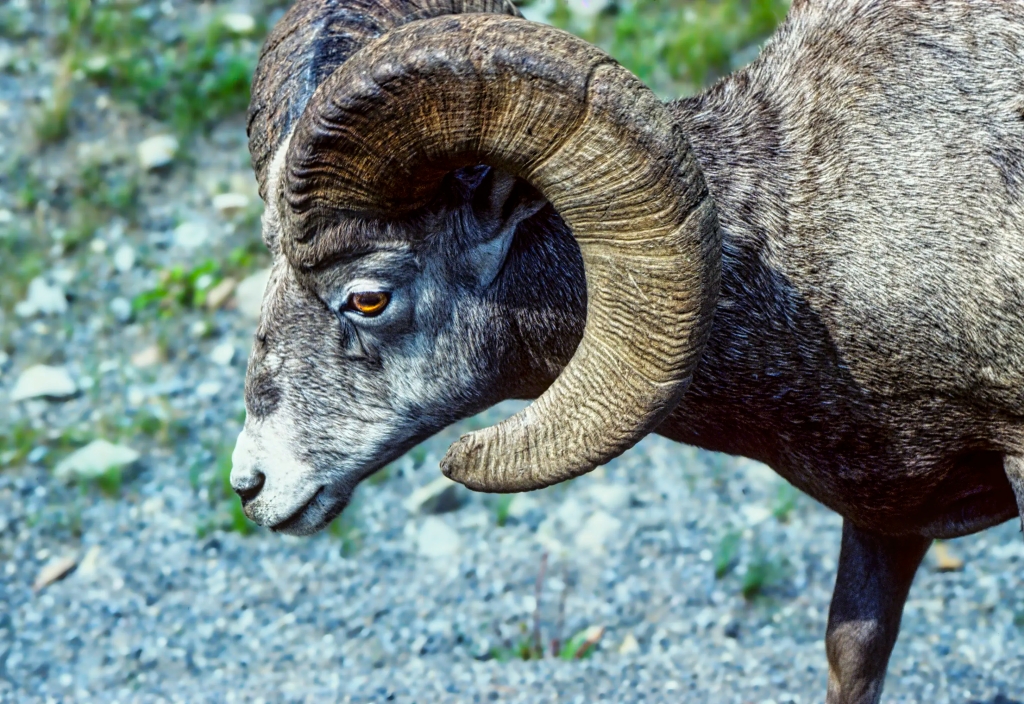
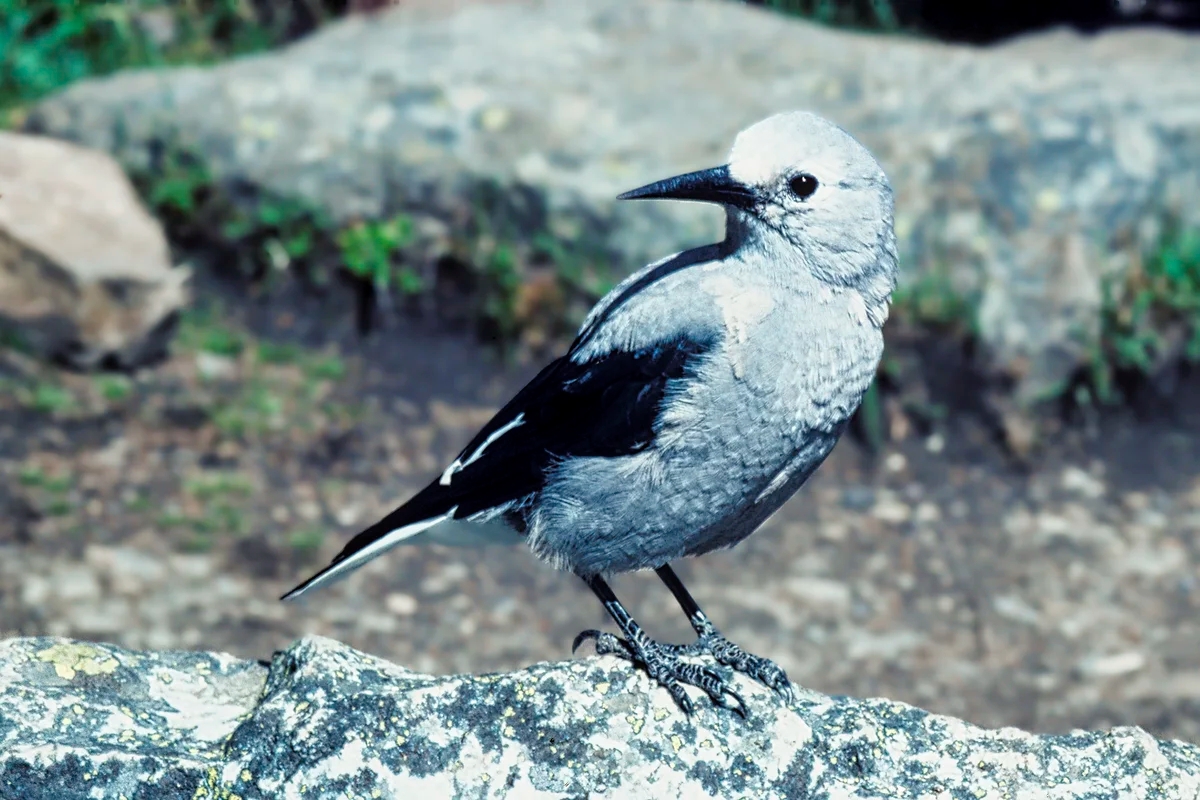
Northern Thailand offers many off the beaten path places as well as several national parks. With the improved road system, there are many Thais and tourists venturing up north. It’s still a much quieter and more authentic Thai experience than going to tourist-infested islands. Thailand offers a diverse range of wildlife and birdlife. This was our third visit but the first visit for our son. He was here for the 1101 species of birds. He saw 401 species in 23 days.
Author & Photographer: George Mitchell
Our recommendations are not influenced by affiliate links – we have none. Our content and advice is derived from our personal experience and knowledge based on spending five months in Thailand as well as travelling for 3 years around the world.
Thai Nature Itinerary

All the sights in this post are shown on our custom Thailand Best Places to See Nature Map. Additional sights are shown as well. There are frequently multiple spellings for the same place. It was assumed that Google Maps provides the most accurate and official names.
An excellent measure of which sights, restaurants and hotels are better is the Google Maps Rating (from G0 to G5), which we have appended to all place names in this post and our map. This is based on reviews of locals and tourists. As it’s hard to get a high rating, any score ≥ 4.0 is very good and ≥ 4.4 (out of 5) is excellent.
| Place | Days | Hotels: Points of Interest |
| Chiang Mai | 5 | The 3 Sis THB 4340 USD 119 |
| Doi Inthanon NP | 3 | Touch Star Resort THB 1584 USD 43 |
| Doi Chiang Dao NP | 2 | Malee’s Nature Lovers Bungalows |
| Doi Ang Khang NP | 2 | Ang Khang Nature Resort |
| Doi Lang NP | 2 | Garden Home Nature Resort, Mae Ai |
| Kaeng Krachan NP | 3 | Baan Maka Nature Lodge THB 1400 USD 38 |
| Fly CNX-BKK | Rent second car | |
| Phetchaburi | 2 | Royal Diamond Hotel Phra Nakhon Khiri Wat Komnaram, Laem Pak Bhia Salt Pans; Boat Hire |
| Khao Yai NP | 3 | Juldis J2 Khao Yai Resort |
| Ayutthaya | 1 | Baan Tebpitak |
| Bangkok | 8 | Feung Nakorn THB 2596 USD 71 |
| Total Nights | 32 |
Birding

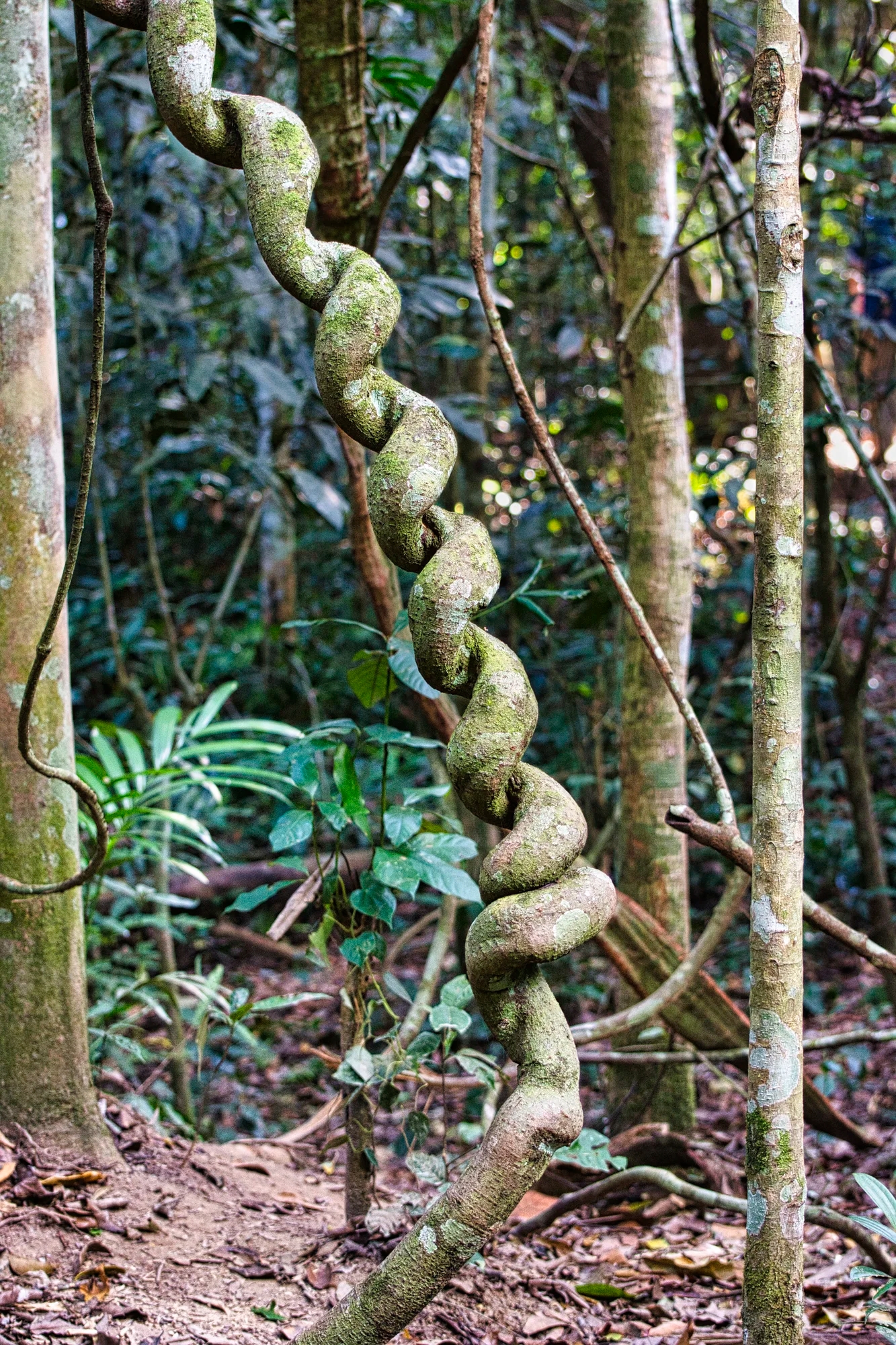
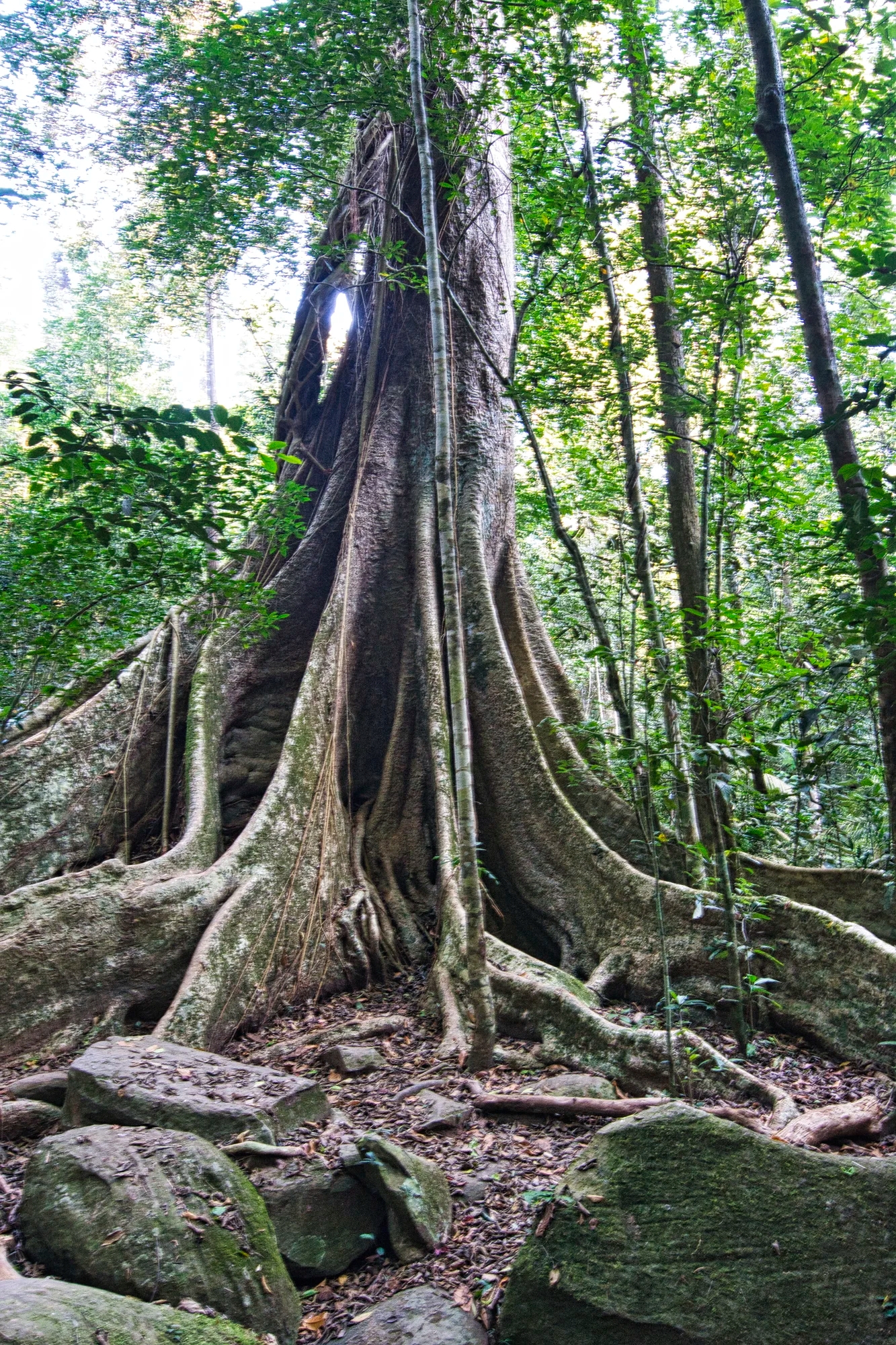
Everyone goes to Thailand to see elephants but they are almost always in private sanctuaries. What about visiting national parks where there are monkeys, deer, and other mammals. But even more unique are the tropical forests, flowers, and 1101 species of birds.
To plan an itinerary for birding, you need to find and read many Birding Trip Reports (see Custom Maps and Facts to Plan your Itinerary section). Next, use eBird, Cornell University’s bird tracking web site. In particular, use the Explore Thailand feature. Find birding hotspots on the Thailand Hot Spots Map. eBird gives you exact GPS coordinated of the sightings but you have to drill down to that feature. The following table lists the species by region found by Daniele.
| Region/Province | Species Seen | Days |
| Chiang Mai Province | 226 | 5 |
| Kaeng Krachan | included in Phetchaburi | 3 |
| Phetchaburi | 230 | 2 |
| Nakhon Ratchasima | 97 | 3 |
| Saraburi | 5 | 1 |
| Ayutthaya | 60 | 2 |
| Krung Thep [Bangkok] | 37 | 3 |
| Samut Prakan [Bangkok] | 42 | 1 |
As can be seen in the table above, the best regions for birding were Chiang Mai, Kaeng Krachan NP, and Phetchaburi regions with 456 non-unique species seen over 10 days. The sites we visited within each national park (NP) are based on the best places to see the most birds. Another approach is to find the best locations to see your target birds – usually the ones only found in Thailand or SE Asia. Finally the itinerary must allow multiple days per destination and multiple visits to birding hot spots in case the target birds were not seen on the first visit.
Breeding season (June-July) is the best time for birdwatching. The wet season peaks between July and September. We went in the cool season (December-January) and Daniele saw 226 species over 12 days in Chiang Mai province – the first half of the birding trip. He saw 401 species over 23 days – his trip was shorter than ours. All the photos are my own. Clicking hyperlinked species name that is suffixed with (D) will link to Daniele’s photos.
Getting There
We flew from Vancouver via Tokyo to Bangkok on ANA Airways. We ate Japanese food for all our meals, which I think surprised the stewardesses. We ended up talking to them about our experiences travelling in Japan for three months. The Japanese know how to provide great service. When the stewardesses heard that we had a narrow window to transfer from Narita to Haneda Airport for our connecting flight, they provided an airport guide to get us quickly through customs to the last shuttle bus for the night!
Getting Around
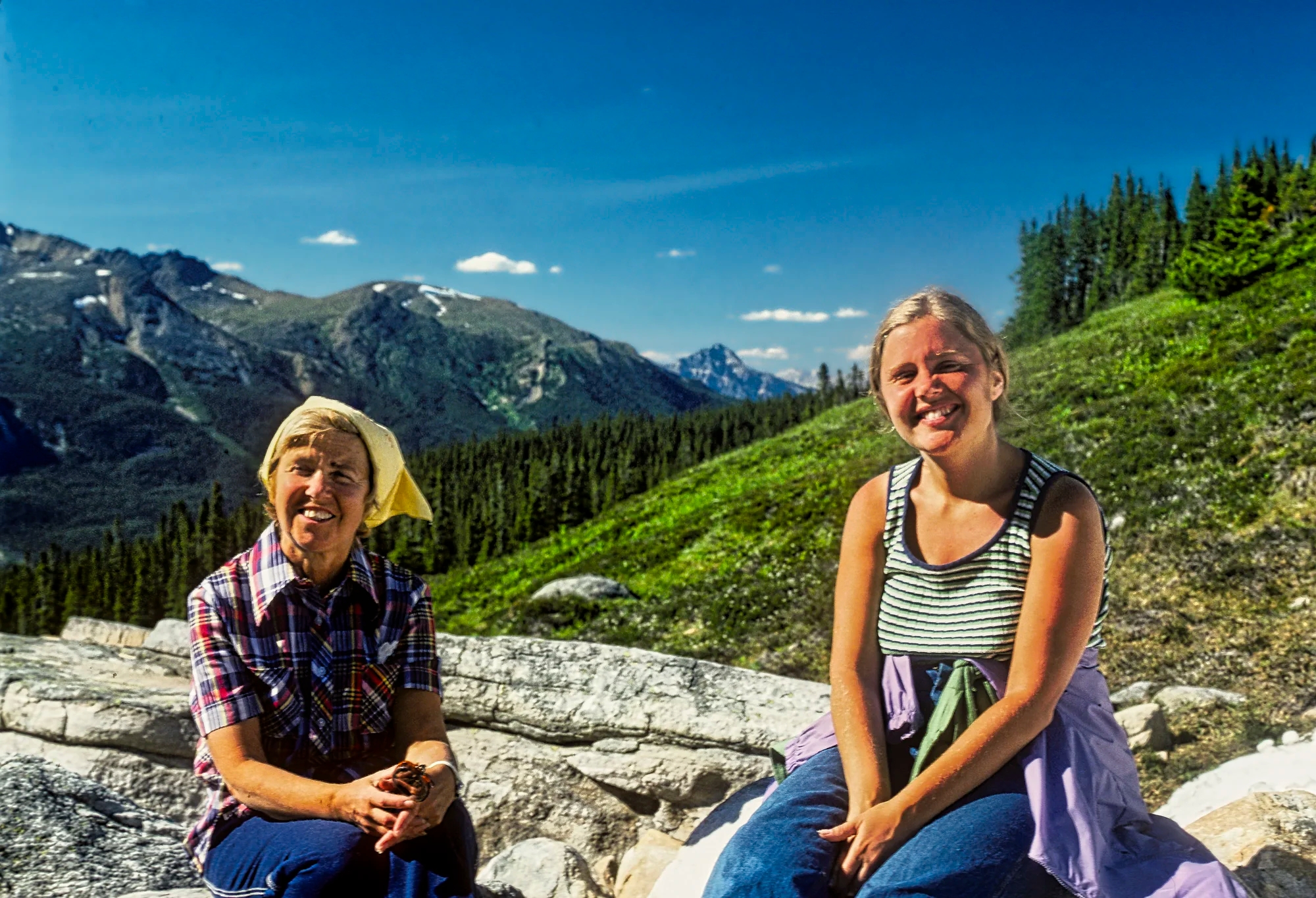
Do not be fooled by typical maps that distort (decrease) the size of countries near the equator. Thailand is huge. It is 2.1 times the size of UK, 27% larger than California, 94% of the size of France, and 78% of the size of Alberta, Canada. To explore nature in Thailand you need two things – a rental car and lots of time. The birding part of the trip was 23 days, the length of our son’s vacation. We stayed 32 days.
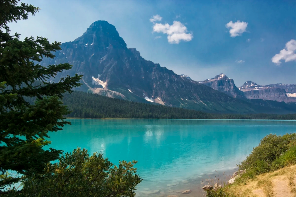
Chiang Mai
We arrived at 05:30h in Bangkok. We were pleasantly surprised that Bangkok Airways provided a free self-service breakfast in their lounge while we waited for our 08:00 flight to Chiang Mai. We stayed at 3 Sis including breakfast. We had five days on our own before our son met us in Chiang Mai. That part of the trip was already discussed in Chiang Mai – Best Places to See Thai Temples and Culture.
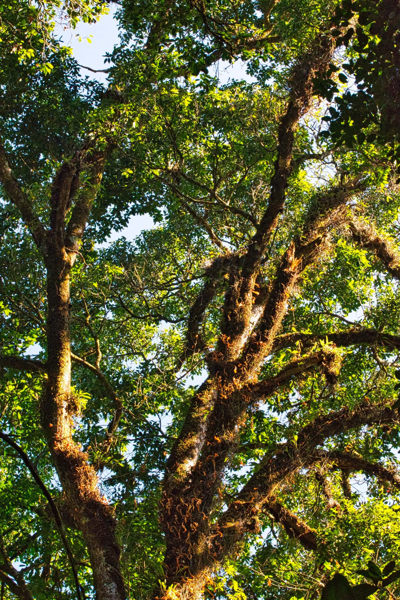
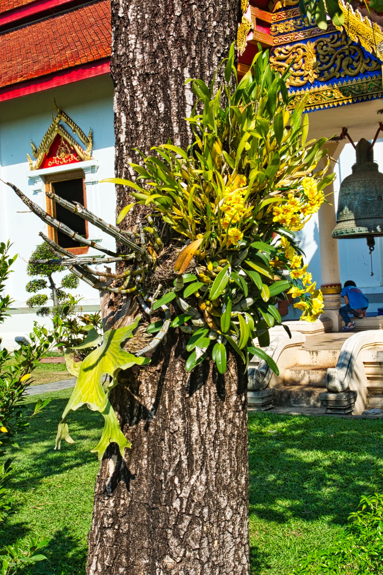
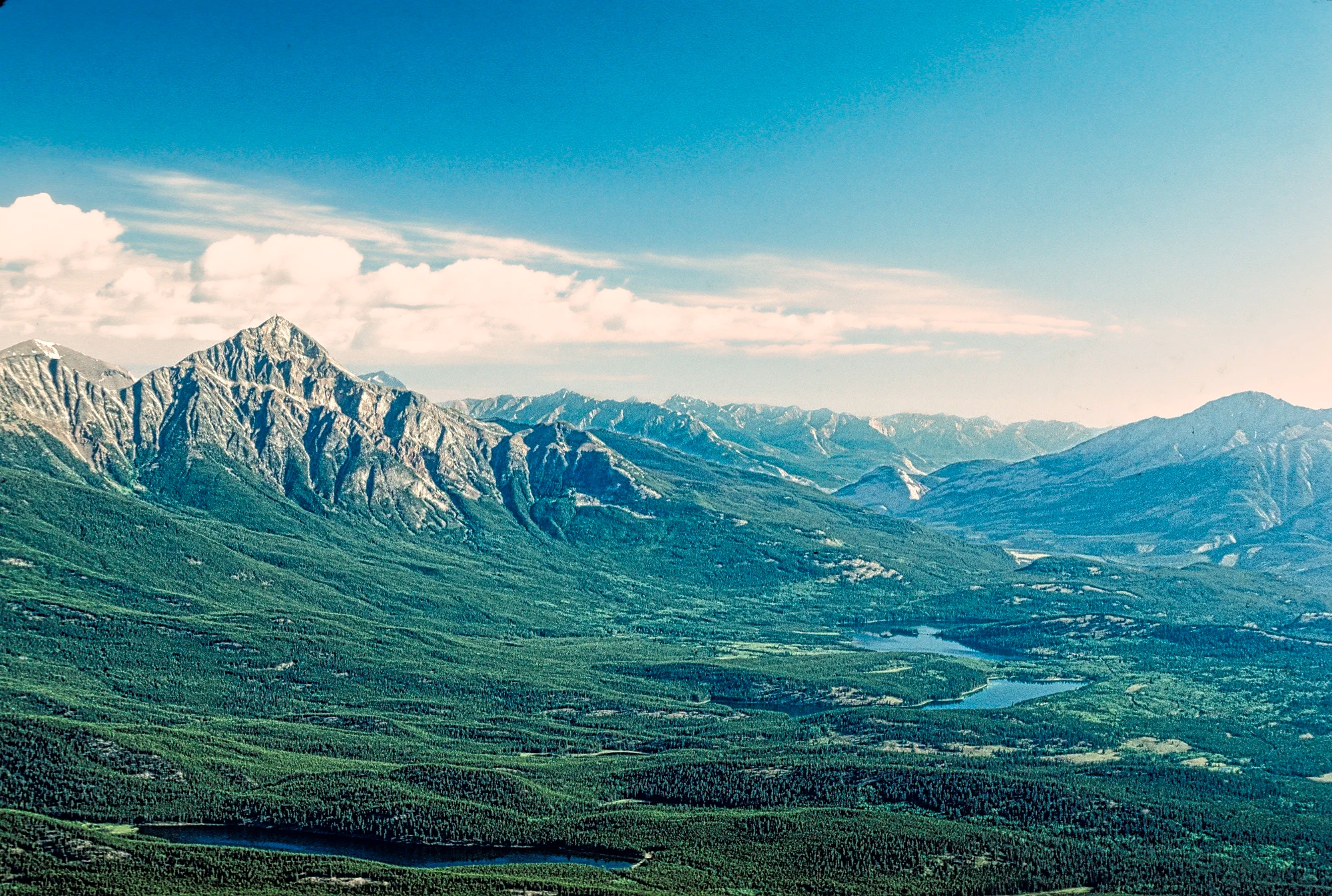
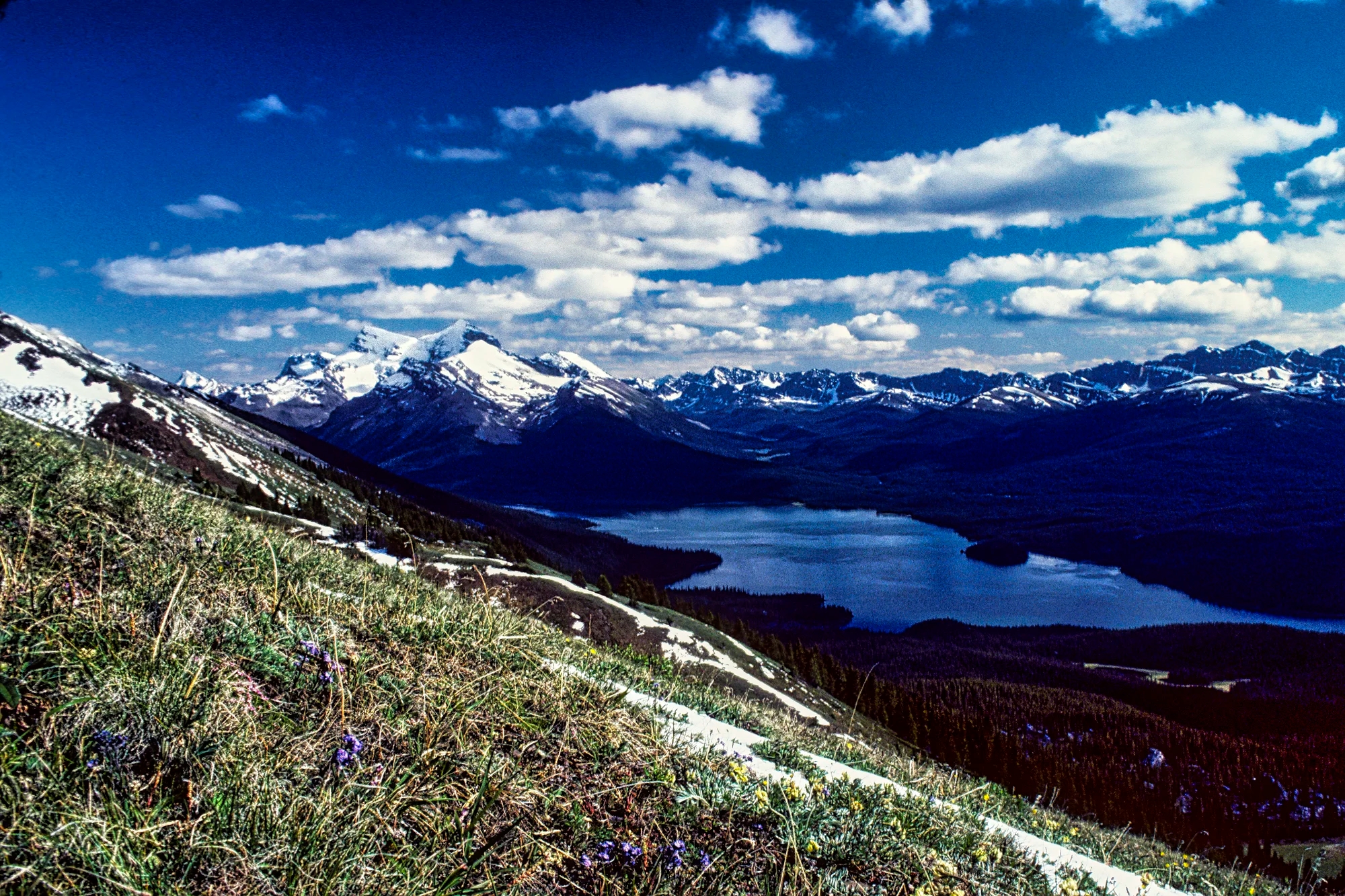
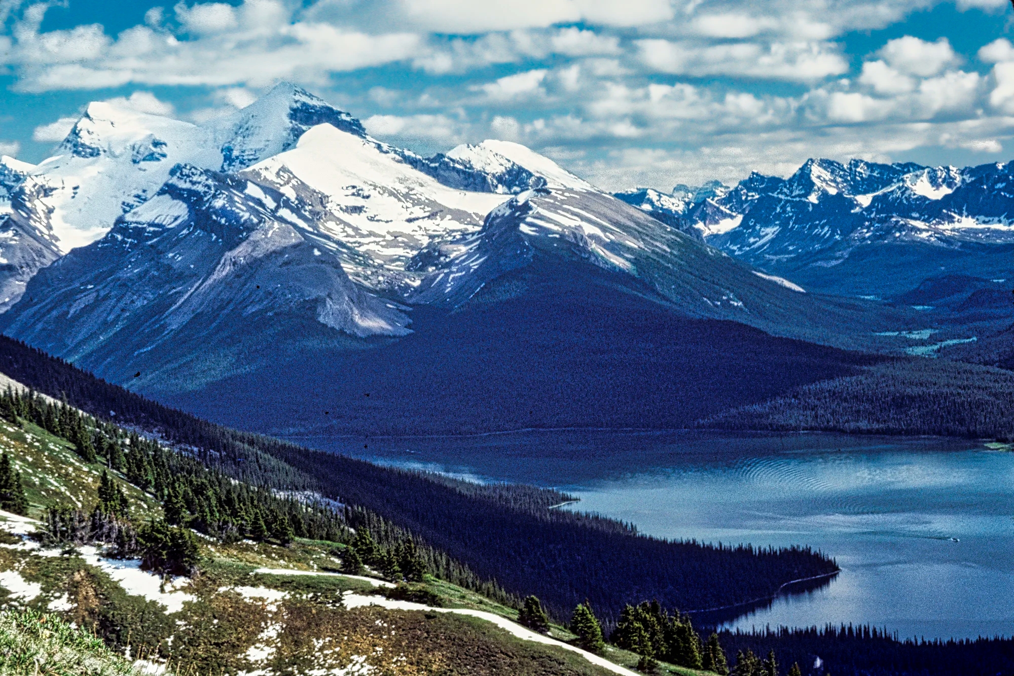
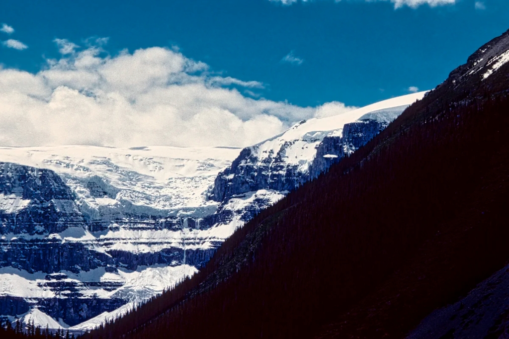
Doi Suthep
Doi Suthep (G4.5) is a national park (NP) just north of Chiang Mai. The Thai word Doi means mountain. On our first trip to Thailand we took a tuktuk from Chiang Mai 17 km 38 mins. to Wat Doi Suthep. It was a quiet road then unlike our third trip. A lot more Thais are middle class and own cars.

At the base of the stairs was a mass of food stalls, tourist shops and noisy women yelling out to buy flowers. One woman wanted me to be in a picture with her but I took her standing next to fellow backpacker, Christian. The Wat Doi Suthep (G4.7) has gold umbrellas (hti) and bronze bells.
There would be a good view of the flat plains from here except for the haze. The burning season is from March to April and the smoke reaches hazardous levels of particulates (over 150 on the AQI scale).
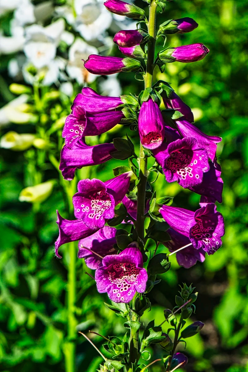
Orchids
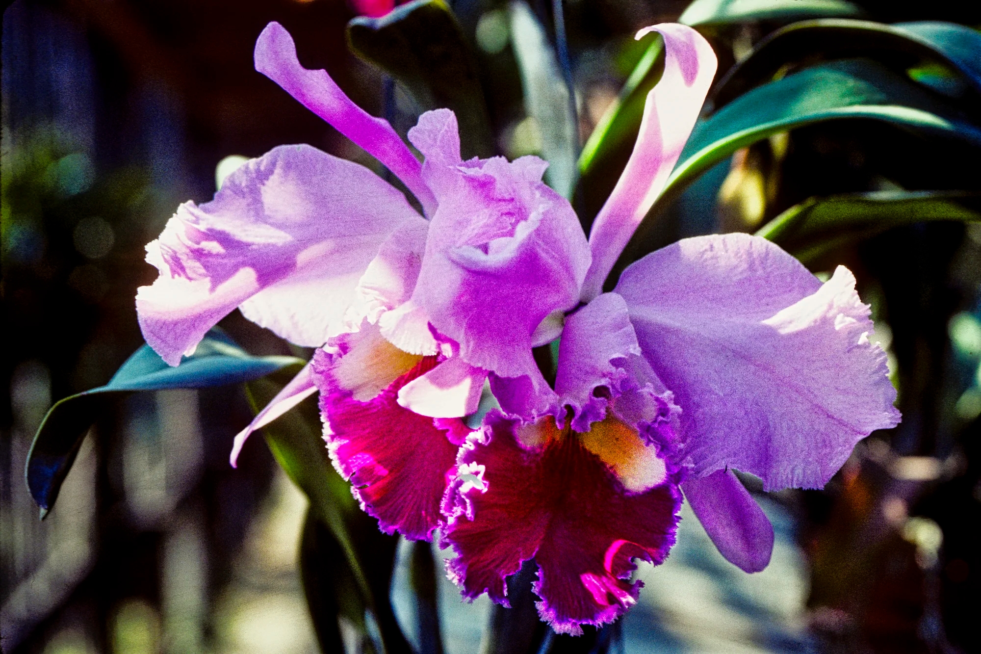
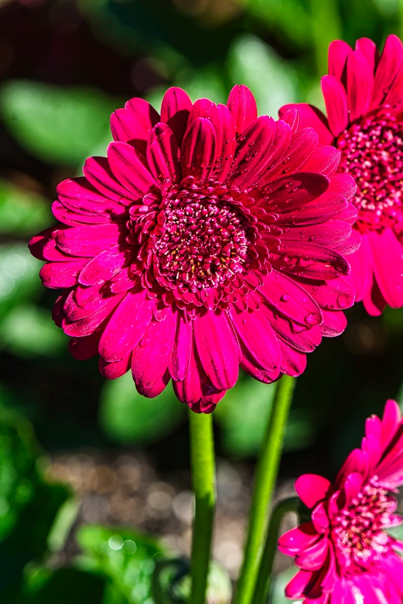
On December 13th of our third trip, we parked further up the Doi Suthep road to hike a trail. Near one of the park admin buildings, there was a small garden filled with stunning Cattleya orchids, which are often called the queen of orchids for their beauty and popularity. There are 45 orchid species within the Cattleya genus, which originated from Costa Rica and to Argentina.
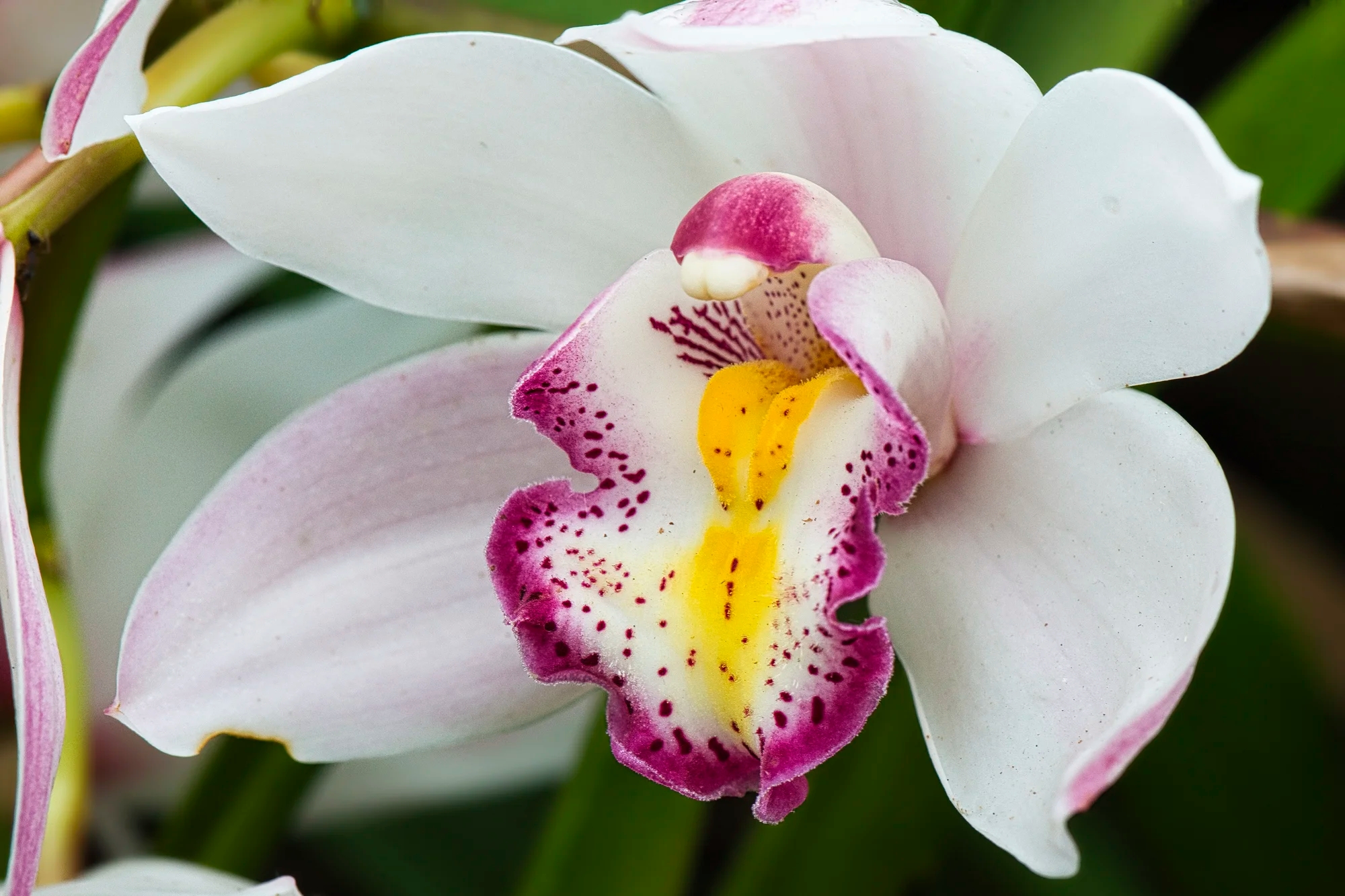
This one is called a Ruby-lipped cattleya, one of my favourites. We visited an orchid farm in our Chiang Mai — Food, Flowers, and Festivals post and were astounded by the diverse and spectacular species of orchids. Thailand has been the largest exporter of orchids in the world since 1979.
Most orchids are epiphytes (grow on trees) but some orchids are also lithophytes (grow on rocks). So you may see them on the hiking trails in season.
If you have a car visit the hill tribe village, Mae Chaem, and go on some of the hiking trails.
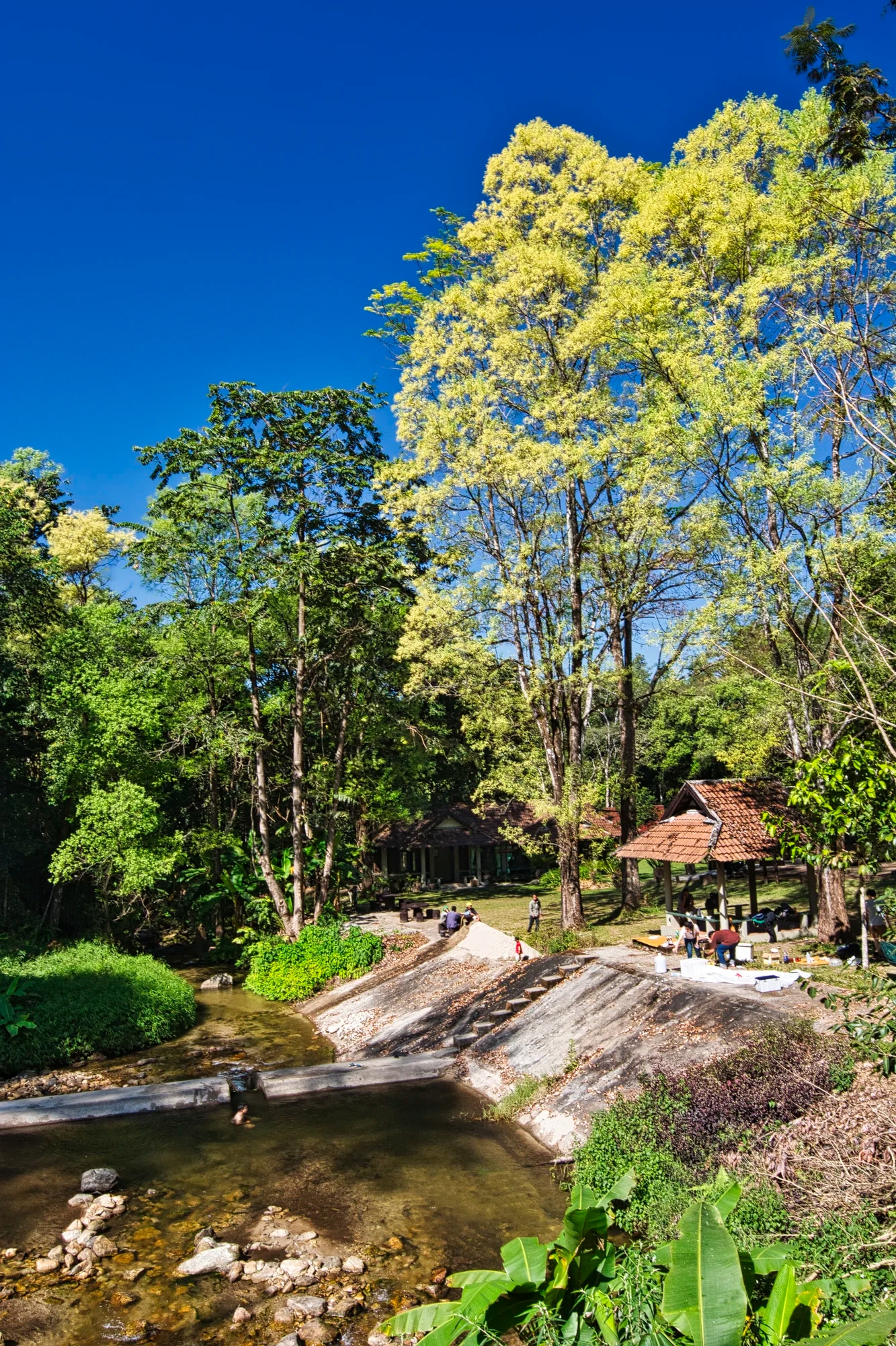
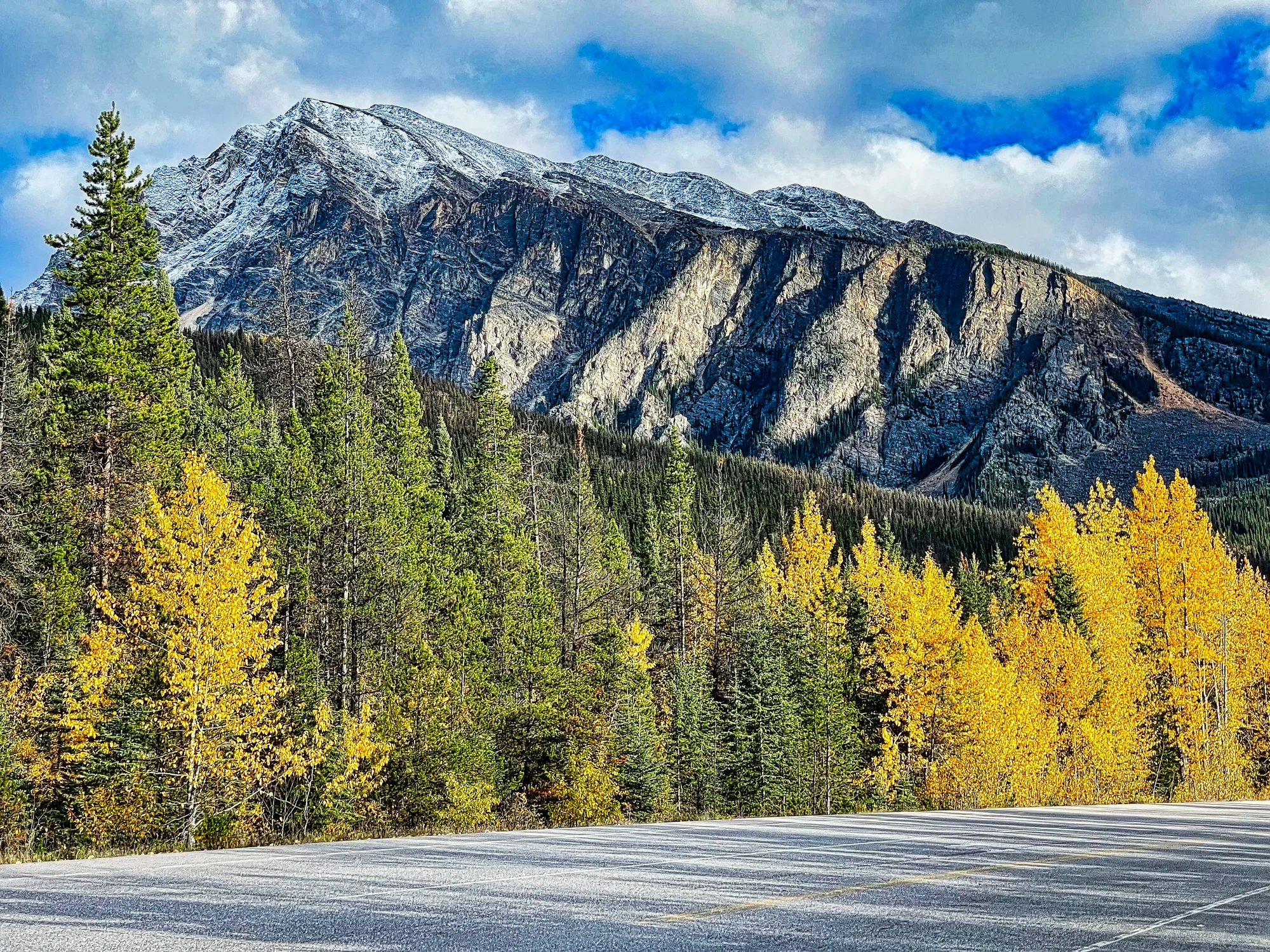
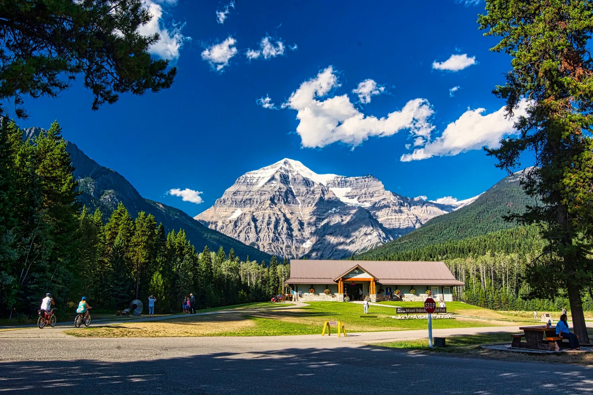
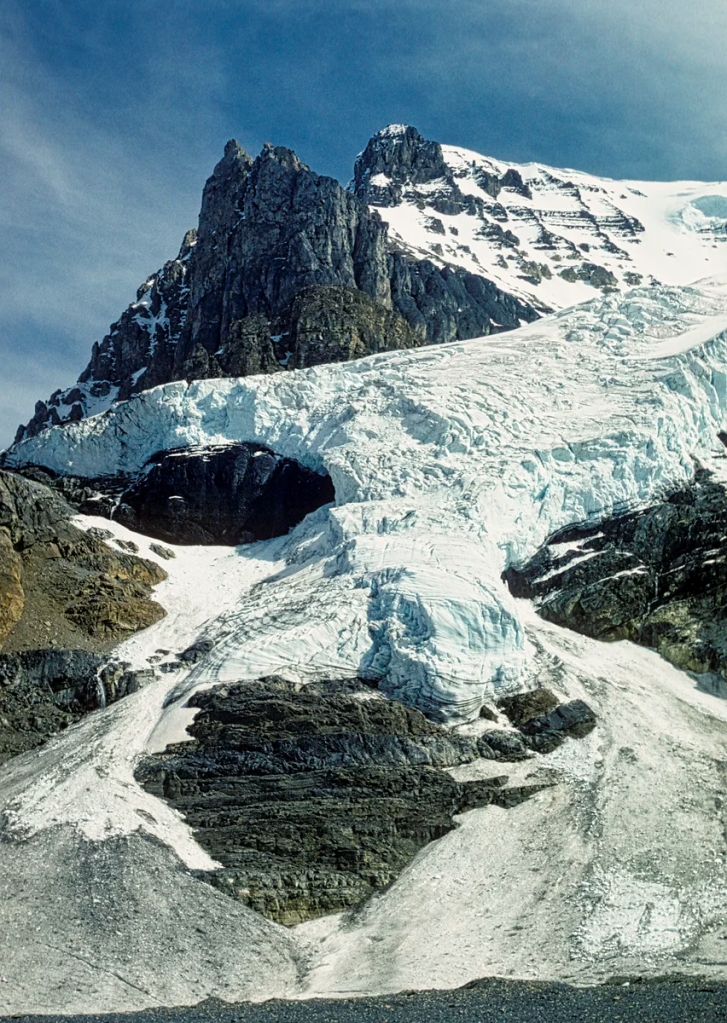
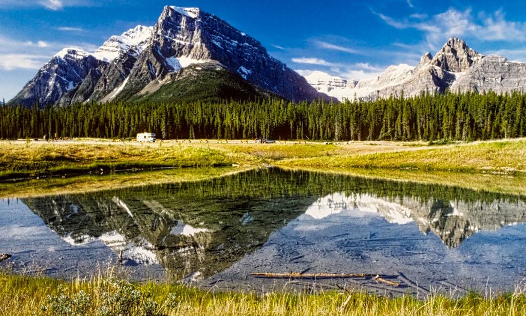
Doi Inthanon NP
Touch Star Resort

After visiting Doi Suthep NP, we drove Highway 108 and turned right on highway 1009 to the attractive Touch Star Resort (G4.0). The next night we ate at nearby Inthanon Delight. Food is important to Thai culture. Why is Jaoan the most popular destination for Thai international vacations? It is because they love the food.
We stayed three nights as our son was here for the birds. You can see the main sights in one day.

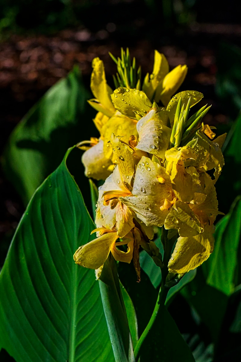
There were some interesting plants along a pond on the property. Elkhorn fern (Platycerium, a species of Staghorn fern) is an epiphyte. It is native to tropical and temperate areas of South America, Africa, Australia, New Guinea as well as Southeast Asia.
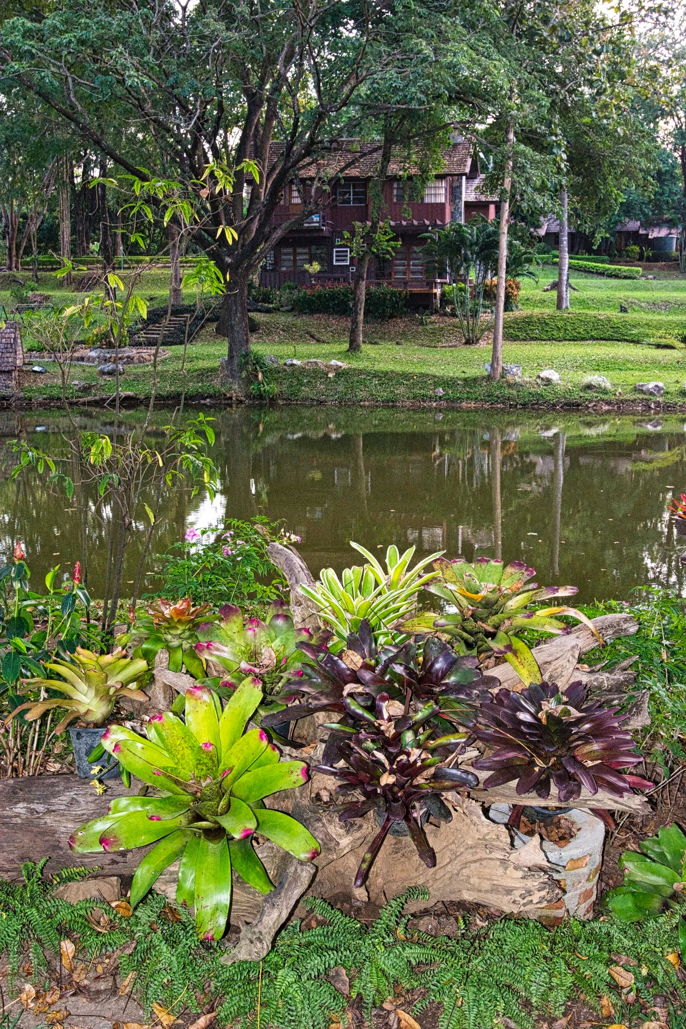
Blushing bromeliad (Neoregelia carolinae) is the plant with red tips on the lower left side. It is endemic to Brazil. Do you see a pattern here with plants being cultivated all over the world. Before the flowers bloom, the center of the plant will turn red; hence its name blushing.
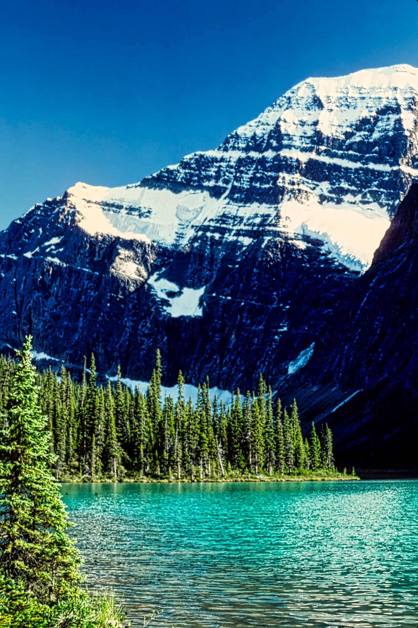
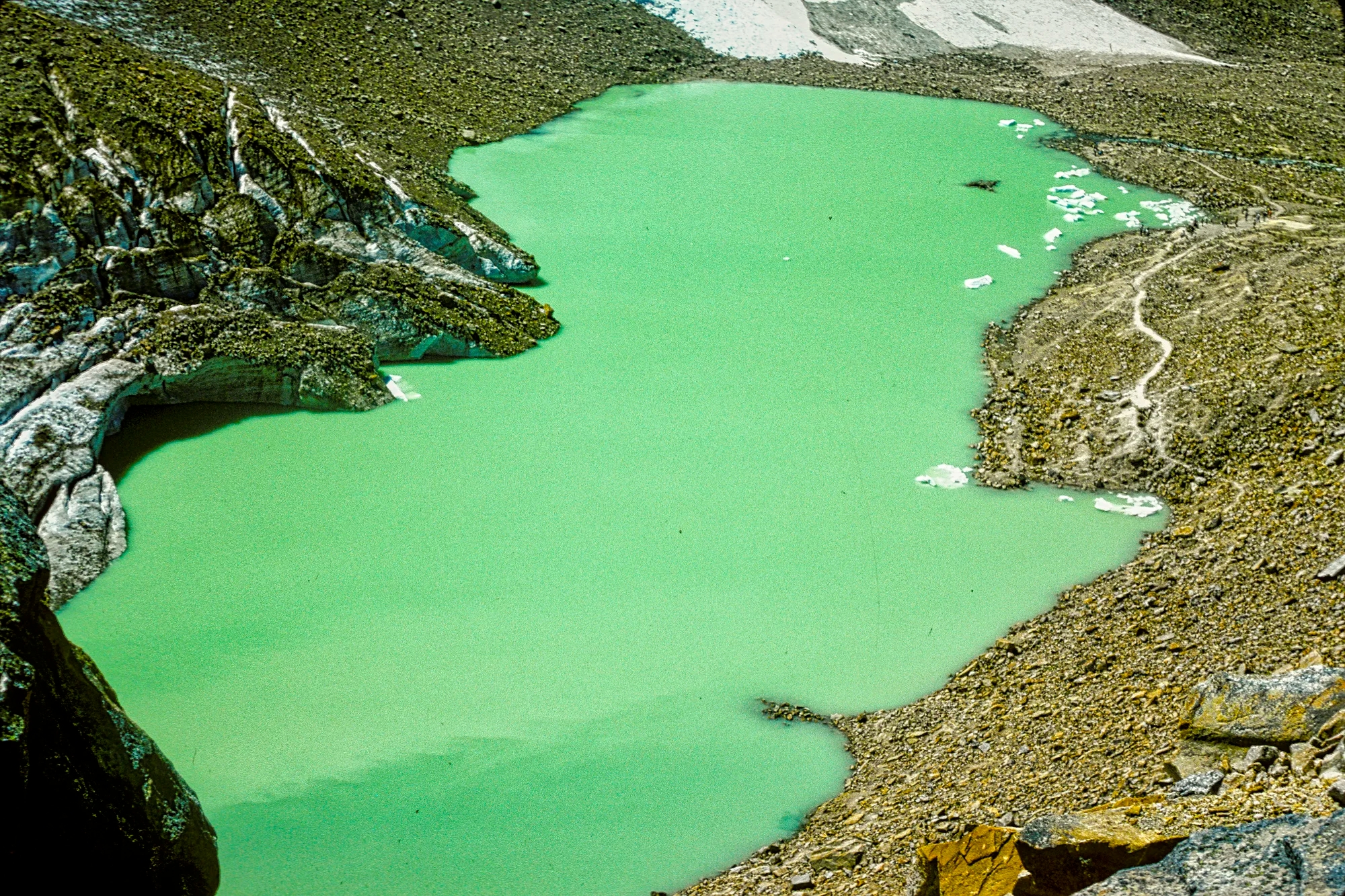
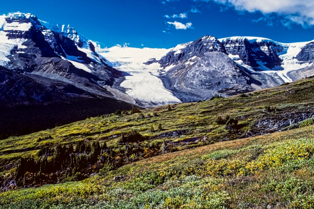
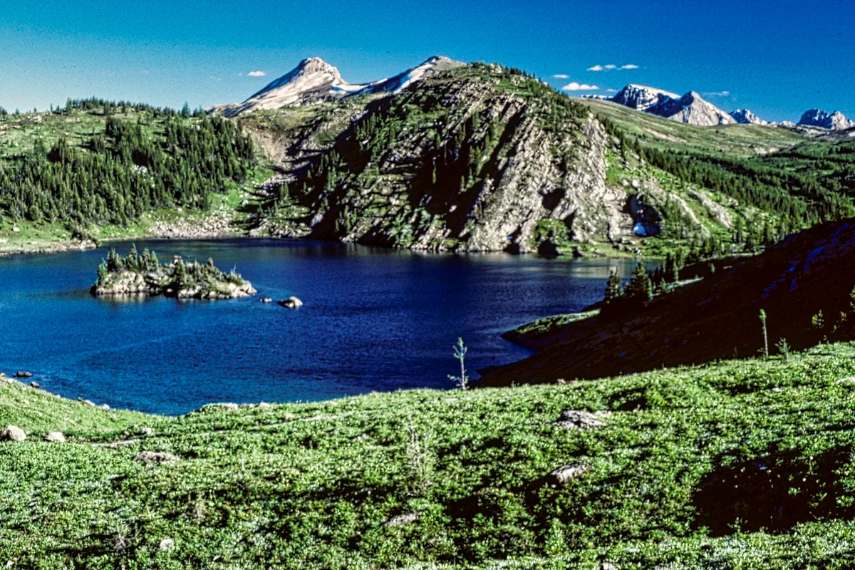
Doi Inthanon
The next day we drove ca. 31 km on Highway 1009 then turned left to enter the NP. Doi Inthanon (G4.7) is one of the most popular national parks (NP), probably because it is only 70 km southwest of Chiang Mai. So there were many Thais here. The NP entrance fee is THB 300. You can get here by continually changing songthaews but that is not convenient. Once you get to the NP, you need a vehicle to drive the 11 km road to the summit. So the best options are to rent a car or book a tour.
Doi Inthanon Summit
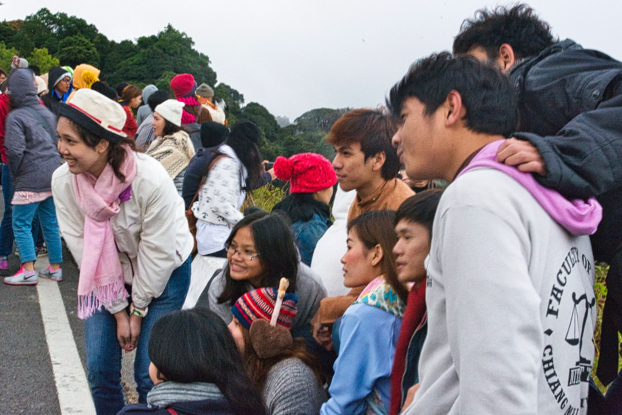
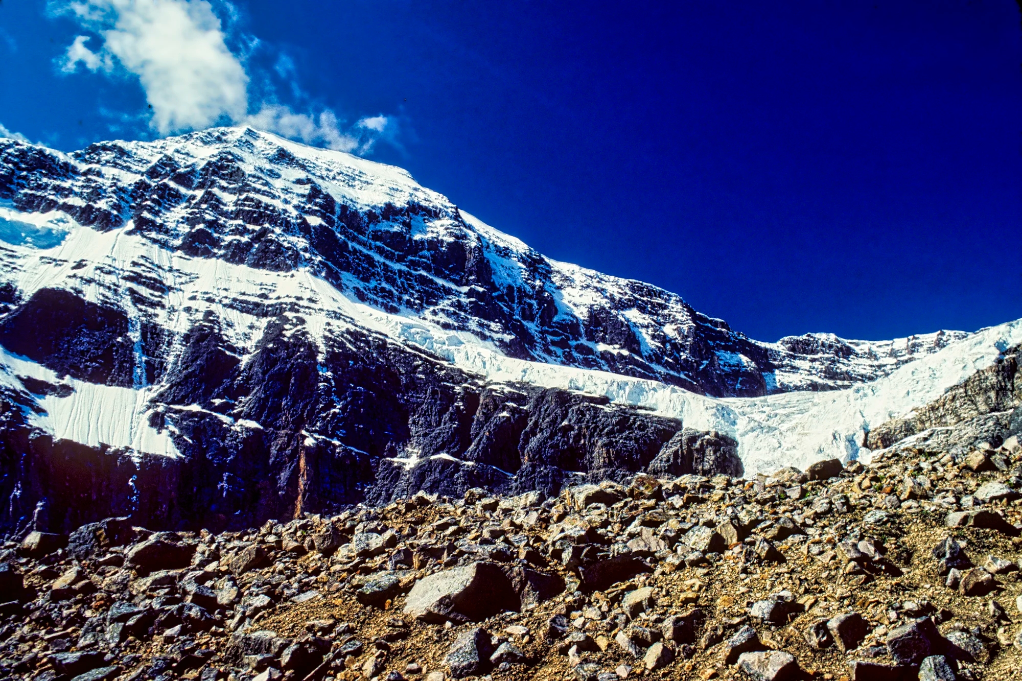
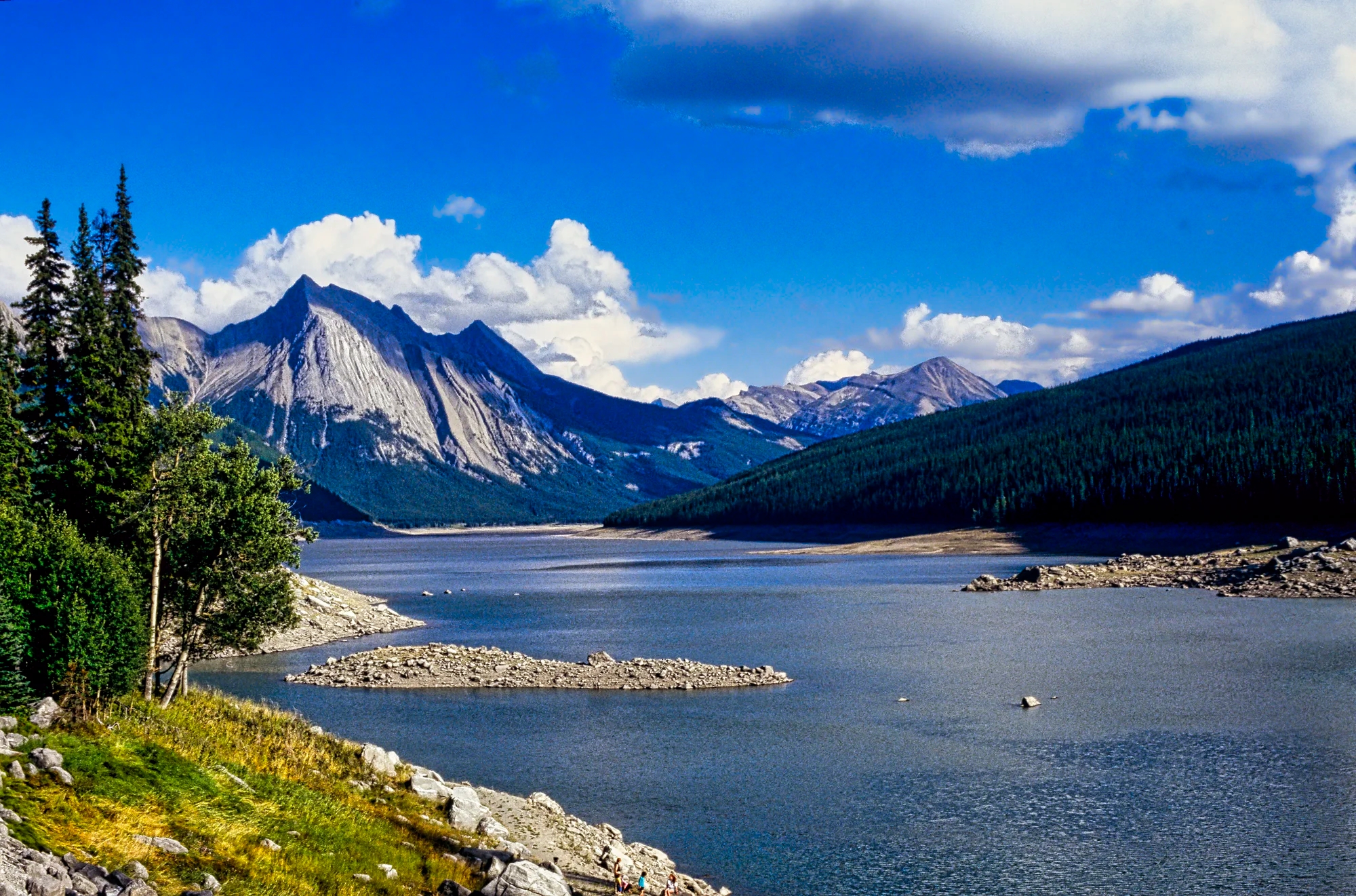
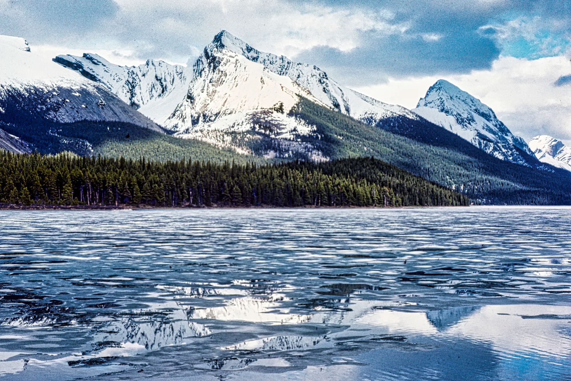
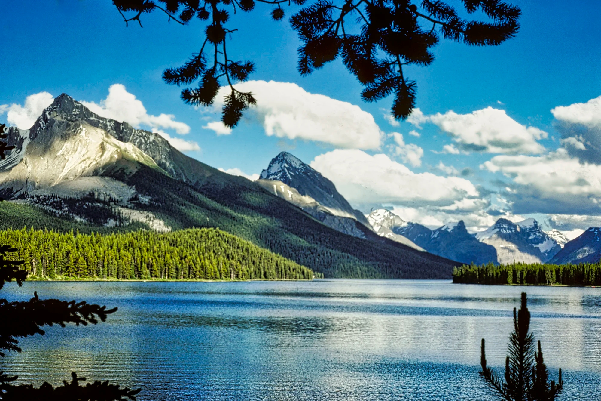
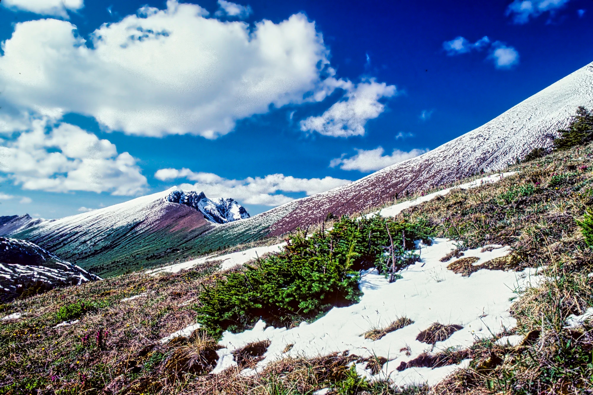
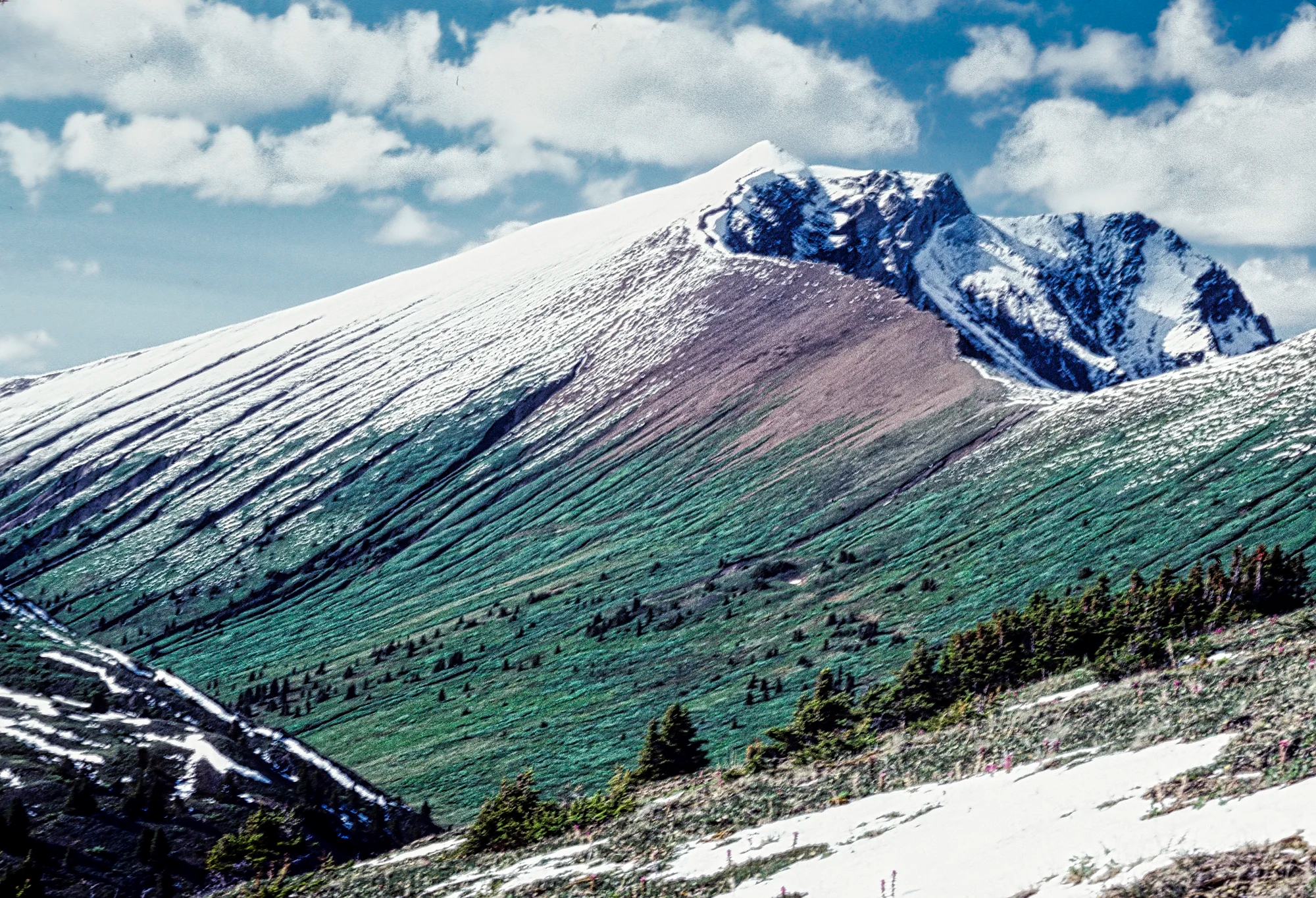
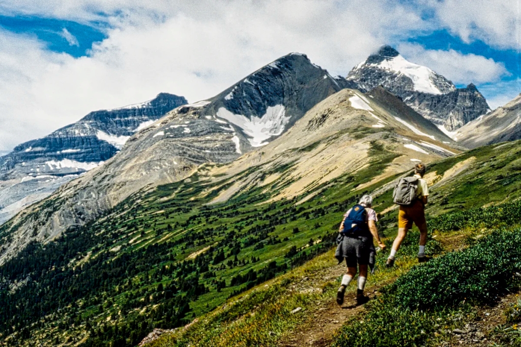
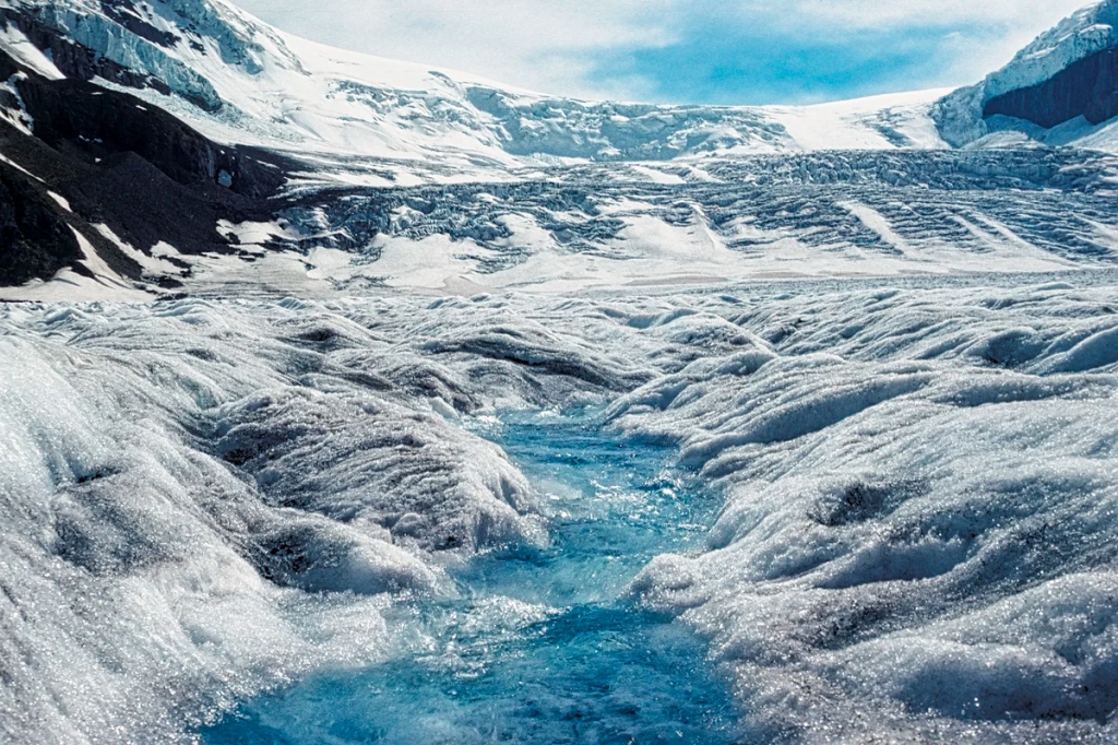
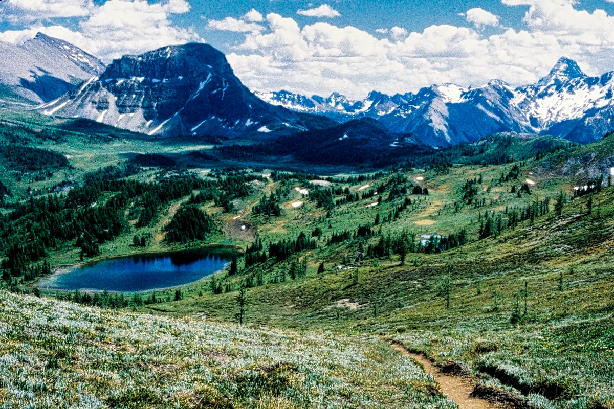
Doi Inthanon Summit (G4.6) at the end of the park road is the highest peak 2565 m (8415 ft) asl. It has some of the nicest views of the generally low mountains of Thailand. It is much cooler than the rest of Thailand, especially in the cool season at 06:00h in the morning. The parking was quite full. Many Thai university students came here to watch the sunrise. They were not dressed for this climate and were freezing. Meanwhile, we were wearing our toques, gloves, Patagonias and jackets.

On Dec. 15th we drove early AM to the summit sunrise viewpoint km 37.5) and hiked the summit trail (km 34.5). Here are a couple of the birds we saw on the Summit Trail.

Chestnut-tailed Minla (Actinodura strigula) has gorgeous oranges and yellows. It is common to Nepal and SE Asia in mid- to high-elevation wooded areas.
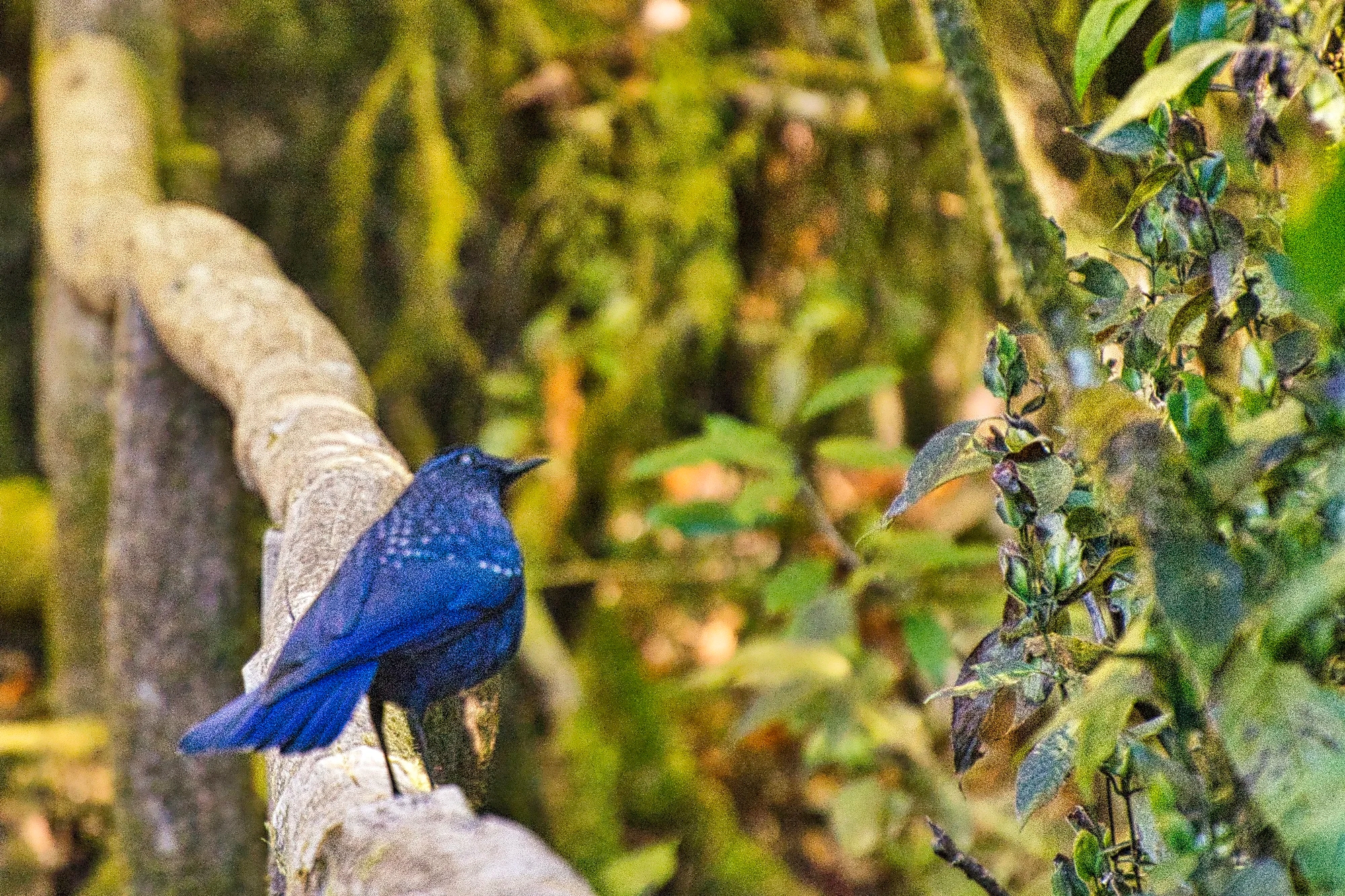
Blue Whistling-Thrush (Myophonus caeruleus) has dark bluish-purple feathers with tiny silvery spots on head, back, and wings. It is common to Nepal, China and Southeast Asia.
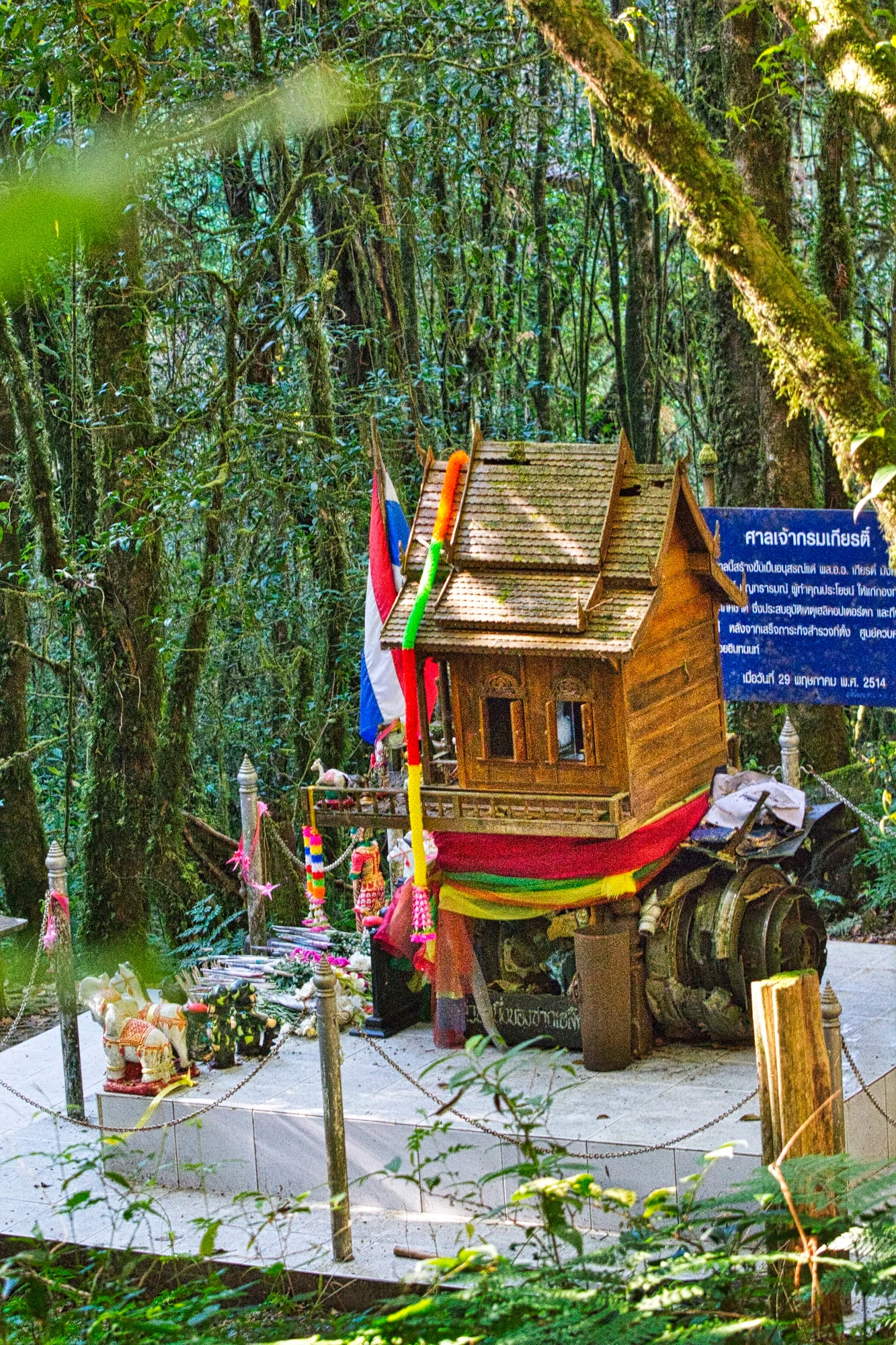
On our hike we were shocked to see what we thought was a spirit house. It turned out to be a King Inthanon Memorial Shrine. Before he died, King Inthawichayanon (1870-1897) had willed that his ashes be placed at the top of Doi Inthanon.
Twin Pagodas

We drove 5 km south of the summit to the Two Chedis, where we ate a surprisingly good lunch with the Thais at the restaurant – chicken curry and a tasty squid dish. Our son went off to the unsuccessfully hunt for the near-threatened Blossom-headed Parakeet.

Pagodas Noppamethanedon and Nopphonphusiri (G4.7), aka the Twin Pagodas, are not part of the NP and cost THB 100 to enter. The Red Cabbage originated in 16th century Europe. The purple colour matches the colour scheme of the pagodas.
The Twin Pagodas were built by the Royal Thai Air Force in 1987 for the King Buumipol’s 60th birthday and 1992 for Queen Sirikit’s 60th birthday.
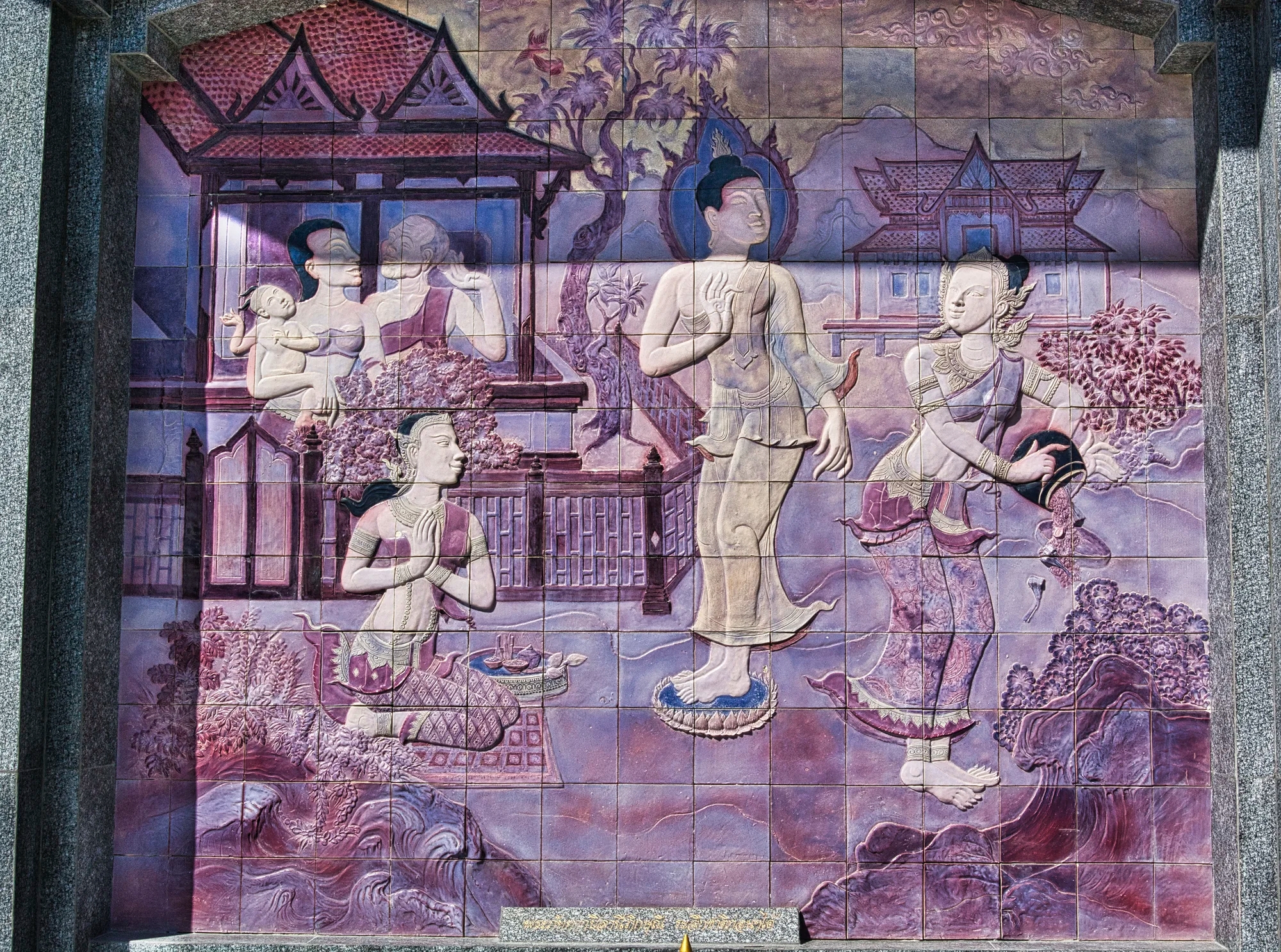
The 12-sided shape represents the 12 virtues of Queen Maya, mother of the Buddha. The pagoda is decorated with pinkish-purple glass mosaics.

The decoration portrays the role of women in promoting and contributing to the emergence of Buddhism.
There is a good viewpoint on the west side.
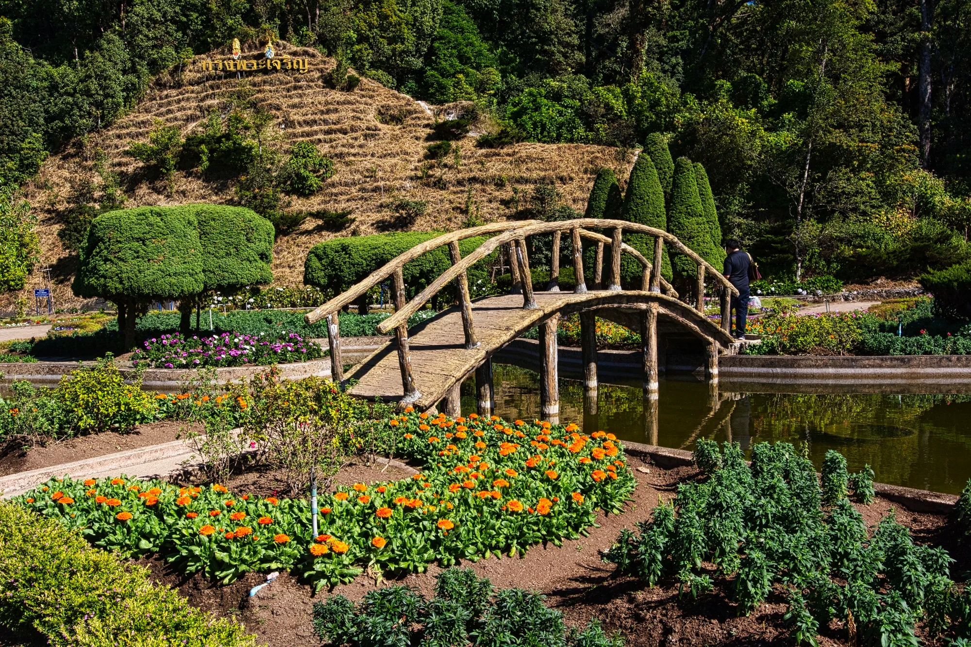
The chedis are surrounded by Japanese-like gardens. It is not hot at this altitude so the flowers are not tropical.
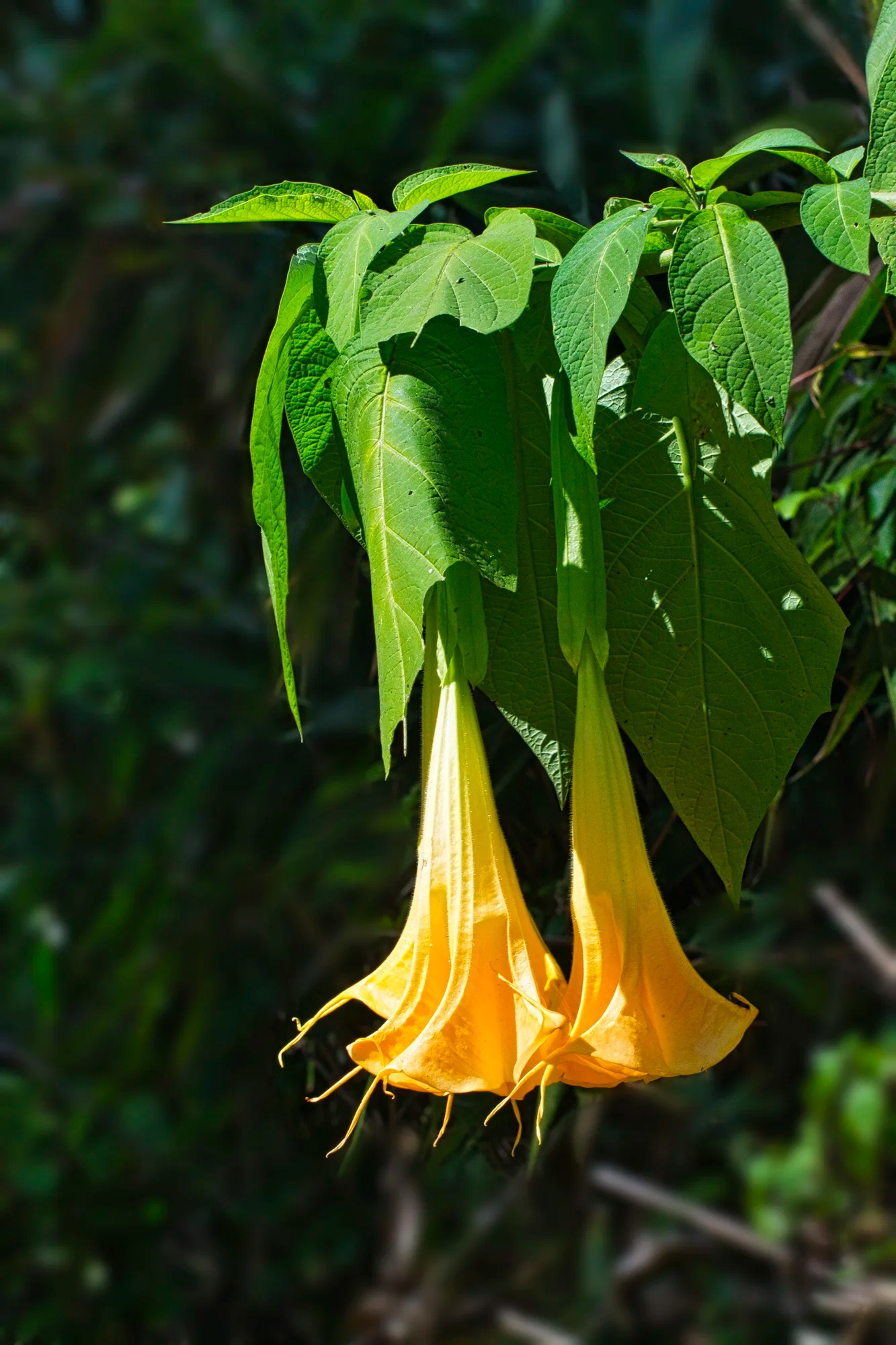
Golden angel’s trumpet is the most exotic flower. This subtropical flower originates and is endemic to Ecuador. This fragrant flower is a very popular ornamental grown all over the world.

The Hardy fuchsia is less sensitive to cold. It originated in Latin America but is grown all over the world.
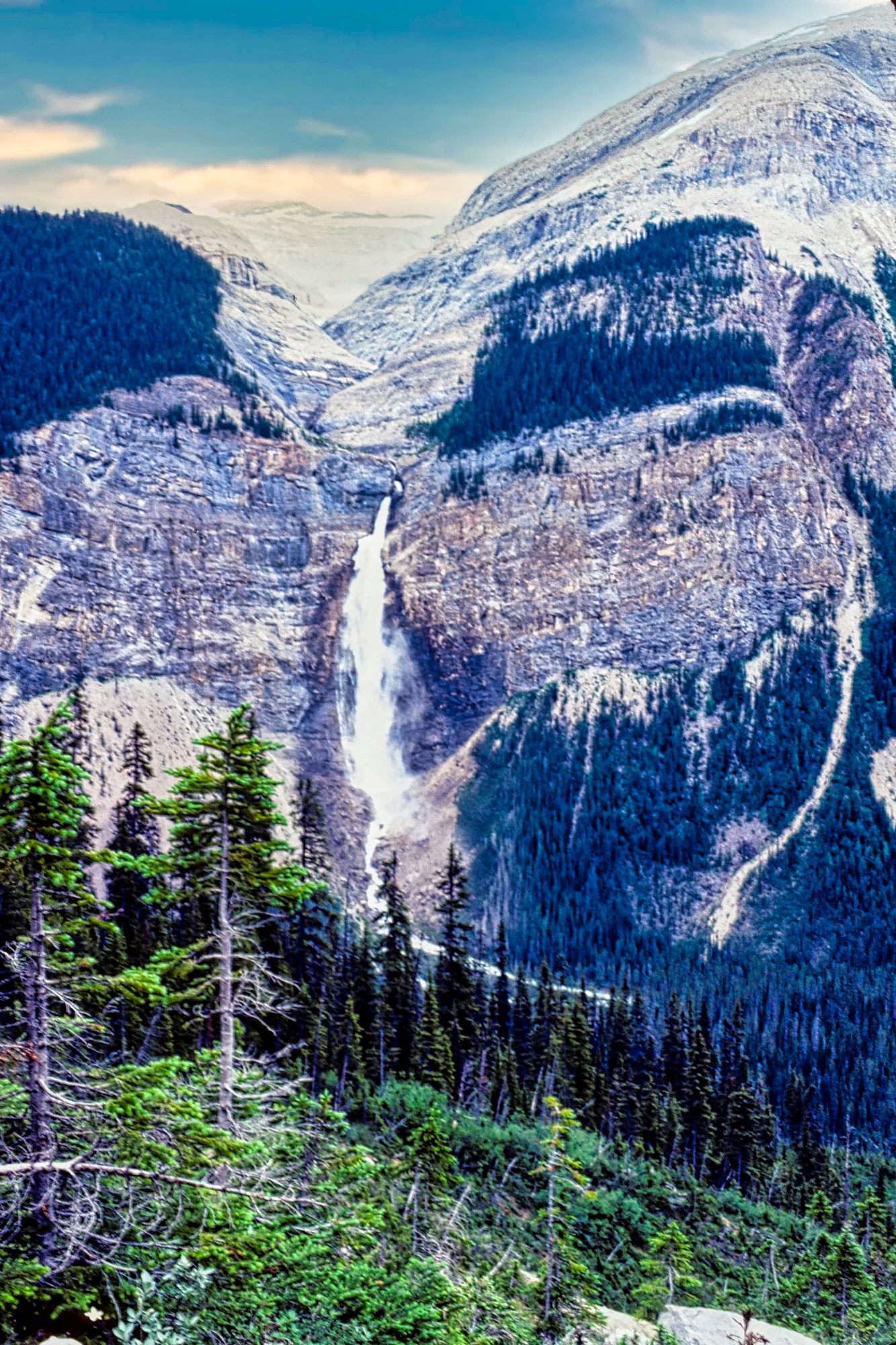
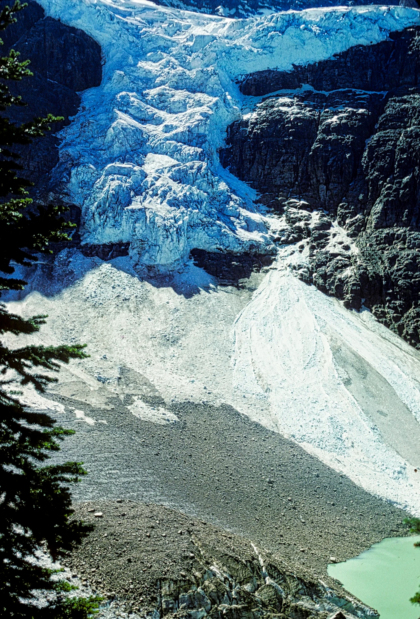
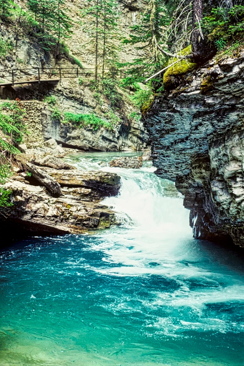
Doi Inthanon Waterfalls and Trails
On the 14th we did the trail at checkpoint 2 (at the junction of Highways 1009 and 1192). We stopped for lunch at Mr. Daeng’s Restaurant, which serves good food – Thai chicken soup, chicken curry and fried Nile fish.
Huai Sai Lueang Falls
On the 14th, we took a “hiking trail” on a side road off Highway 1192. It was more like a walk in a city park with shelters and picnic benches.

We walked 0.6 km to Huai Sai Lueang Waterfall (G4.6). Thais love waterfalls so there will always be people on these short trails.
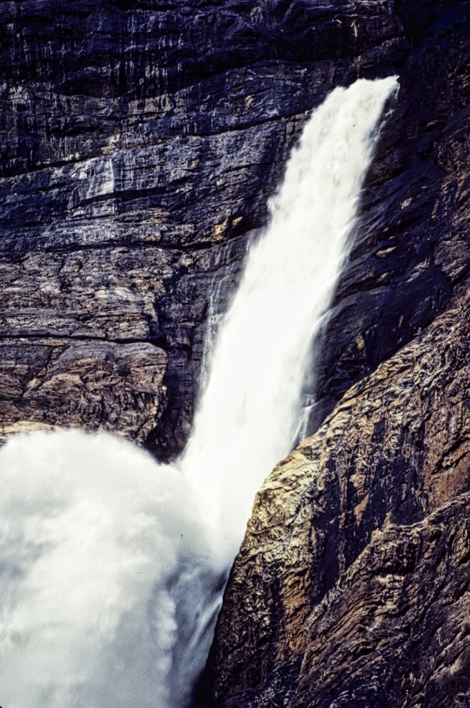
Siriphum Falls

In the afternoon, we hiked the Mae Pan Trail (km 34.5).
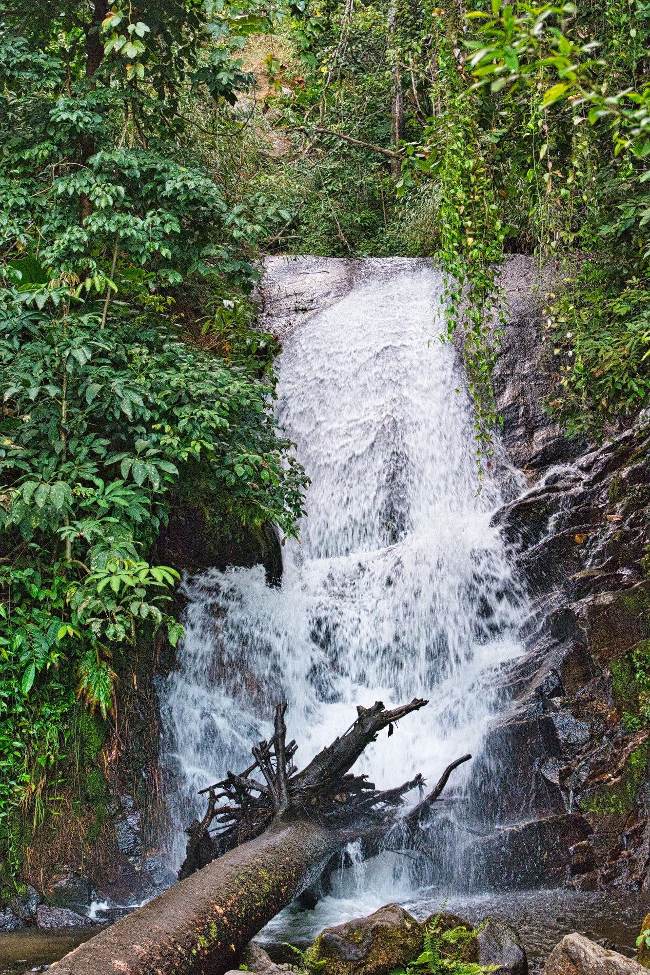
we went to Siriphum Falls (G4.4)
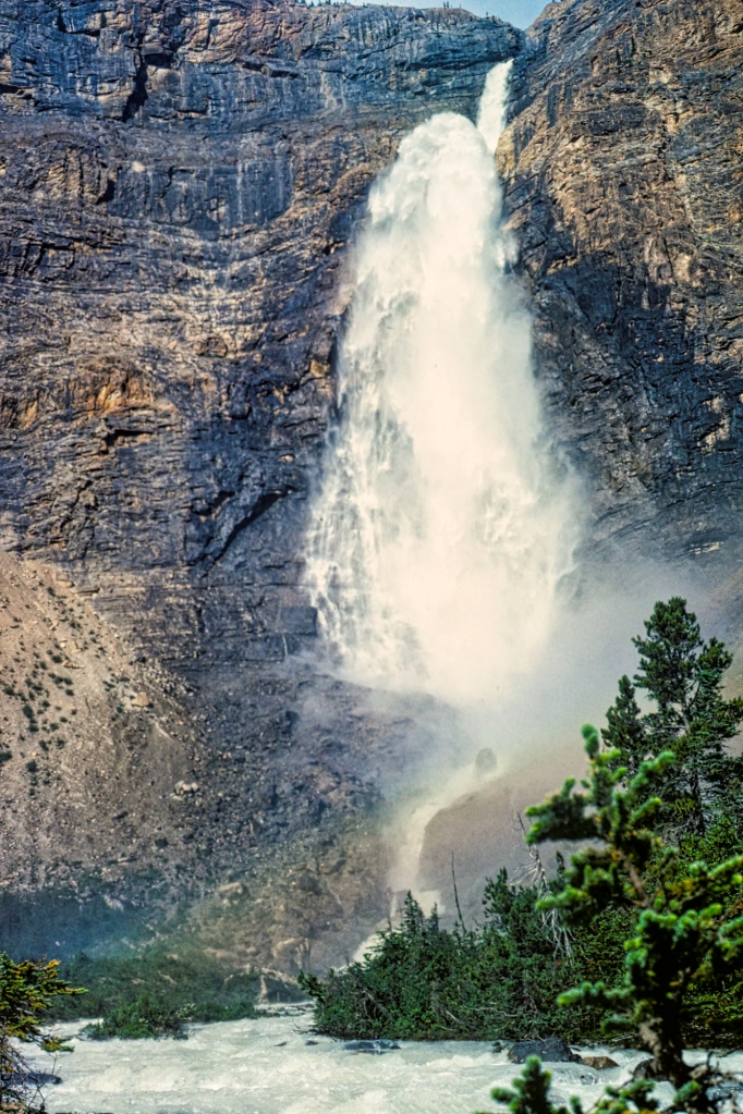
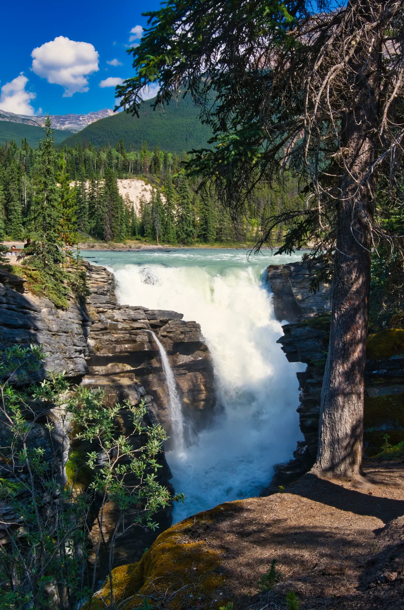
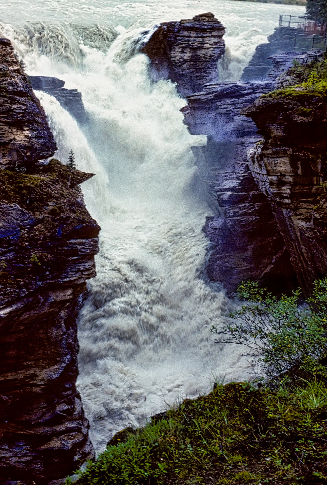
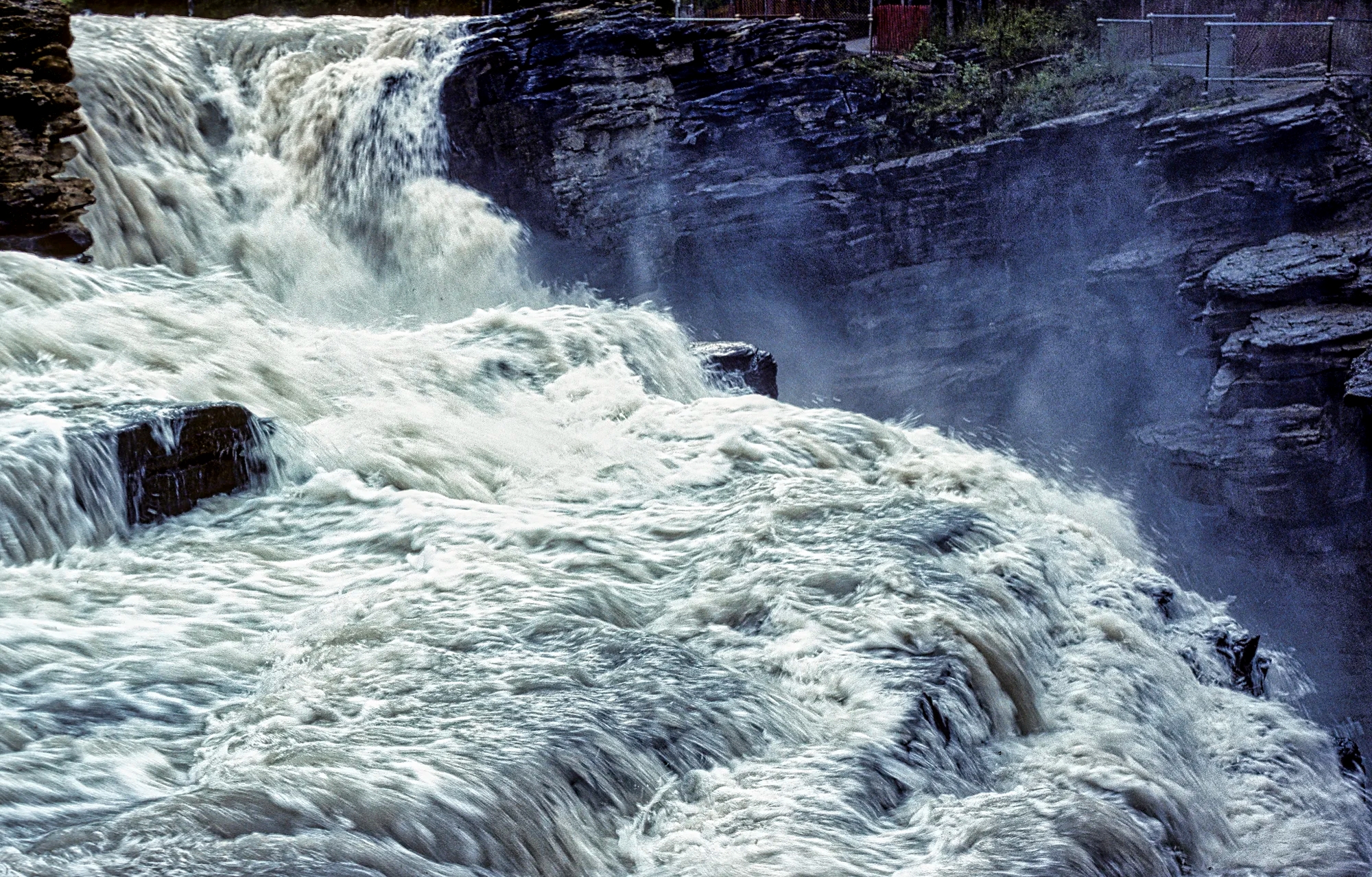
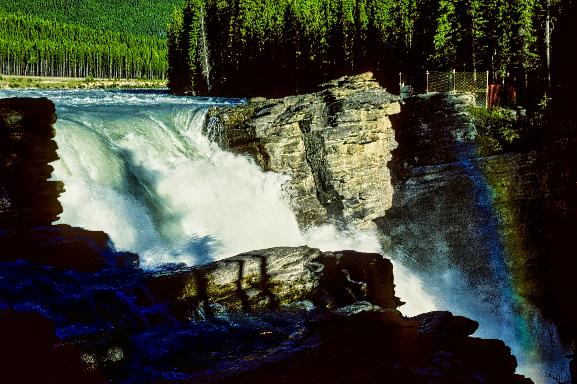
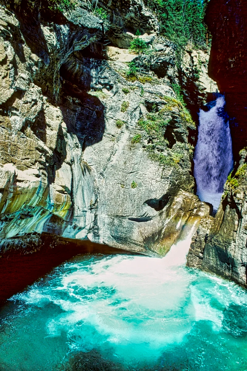
Wachirathan Waterfall
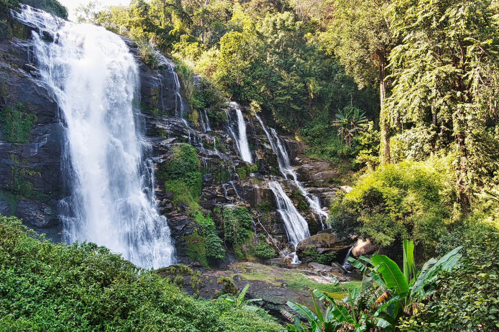
Wachirathan (G4.7) is an impressive and powerful waterfall. It is also very popular and accessible via the easy Kew Mae Pan trail. The falls come with coffee shops and restaurants.

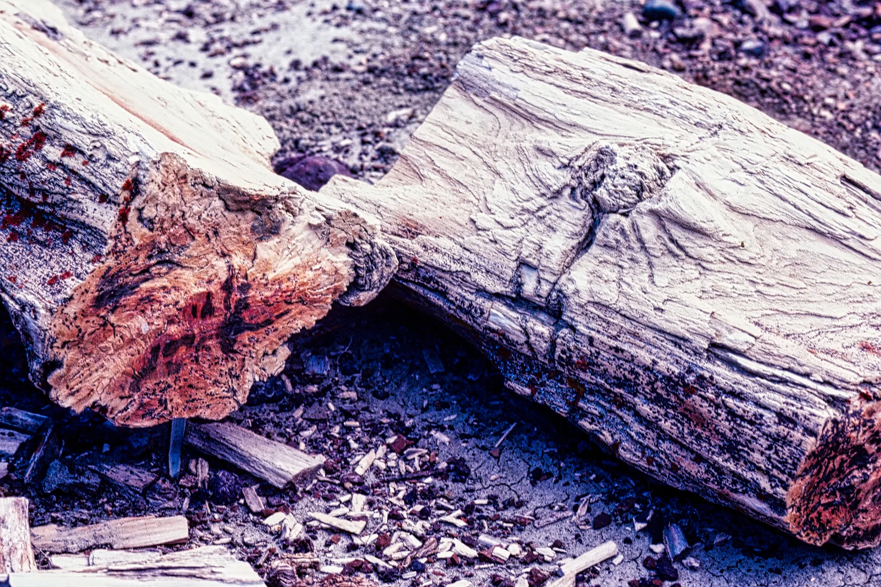
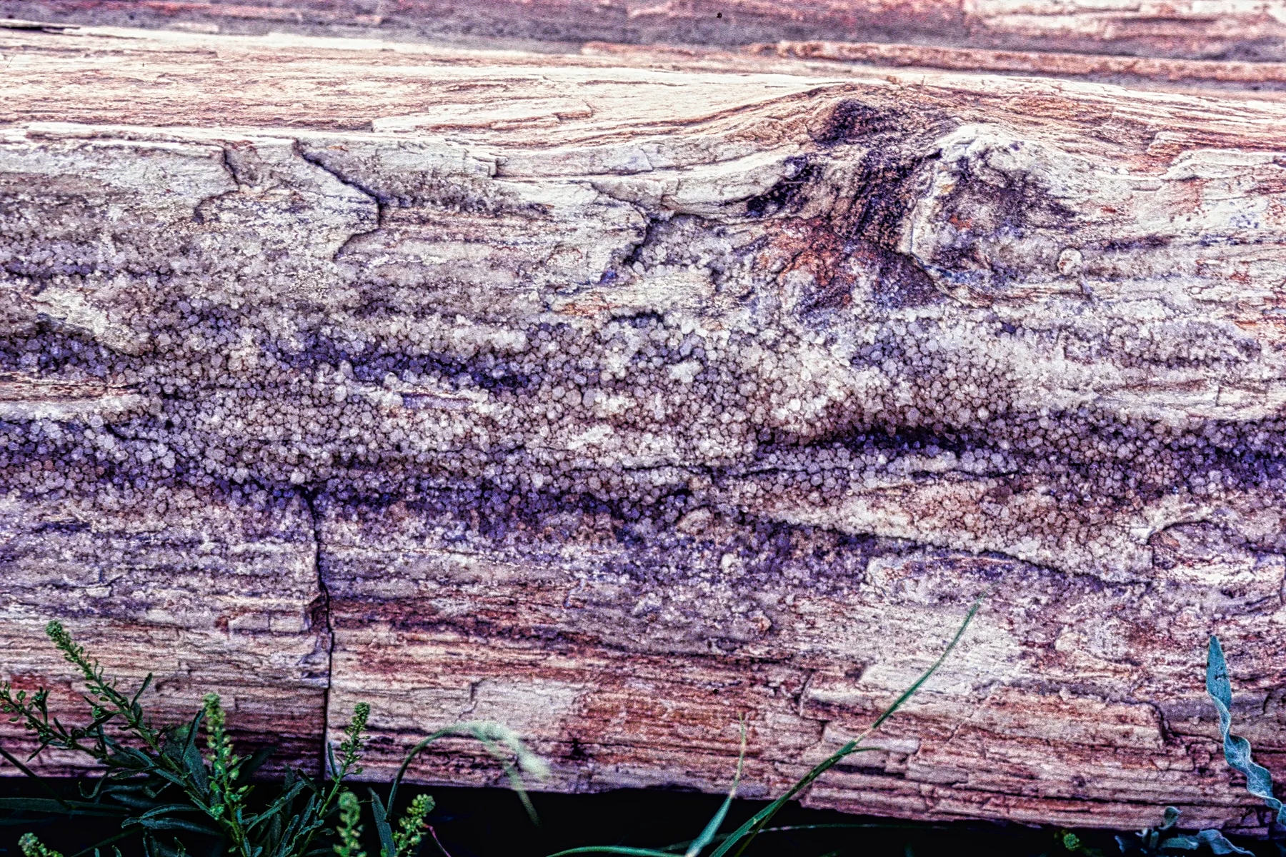
In the morning of Dec 16th, we did the km 13 trail Mueang Ang Falls and the km 18 bridge. Microporus xanthopus is an inedible wood-decaying tropical bracket fungi. I was drawn to the concentric circles in shades of brown contrasted with the white edge.
Chiang Dao
Malee’s Bungalows

In the afternoon of Dec 16th, we drove 3.5 hrs to Chiang Dao. We stayed at the very nice Malee’s Nature Lovers Bungalows (G4.4).

It comes with a lush garden with many species of orchids and a great restaurant. A plus was that the guests talked with each other in the covered, open air dining area. We got to meet many people from Netherlands to Taos, USA. There were also many birds on the grounds.
Sanae Doi Luang
We also ate at Sanae Doi Luang (G4.1), the Charm of Doi Luang.
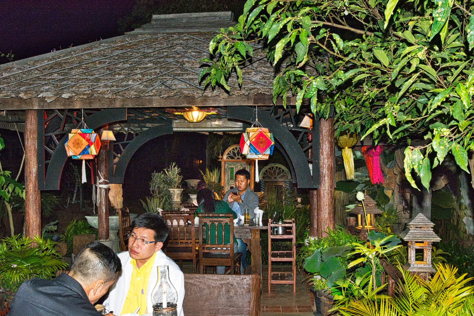
The restaurant is a set of pavilions with tables amidst lush vegetation.

We went back the next day to take photos in the daylight.
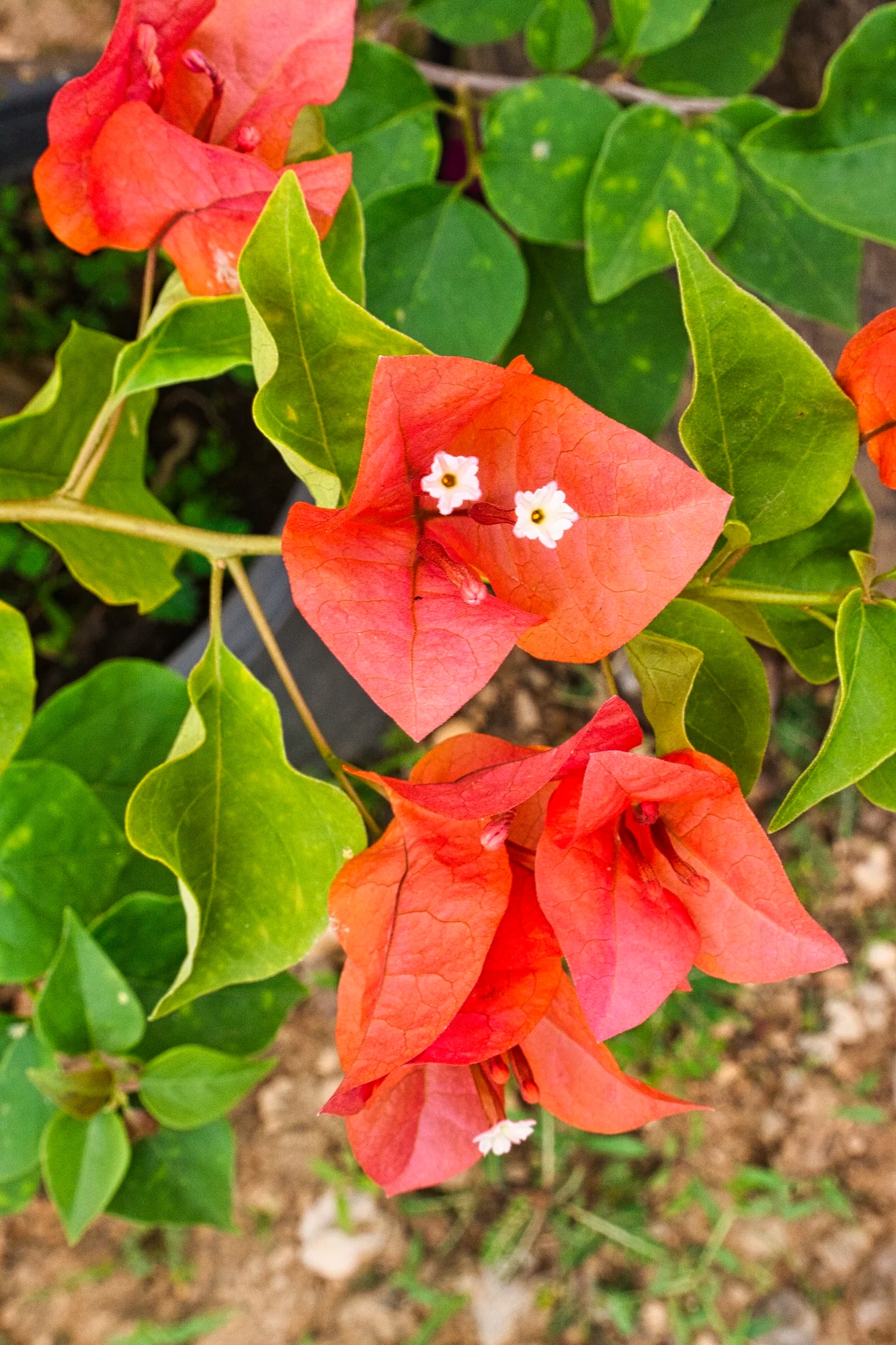
Our favourite tropical flower, the reddish-orange bougainvillea, is native to eastern South America. It was named by a botanist after a French Navy admiral he accompanied around the world in 1789.

The setting was very charming with lots of flowers, statues, rock gardens, and cozy nooks.
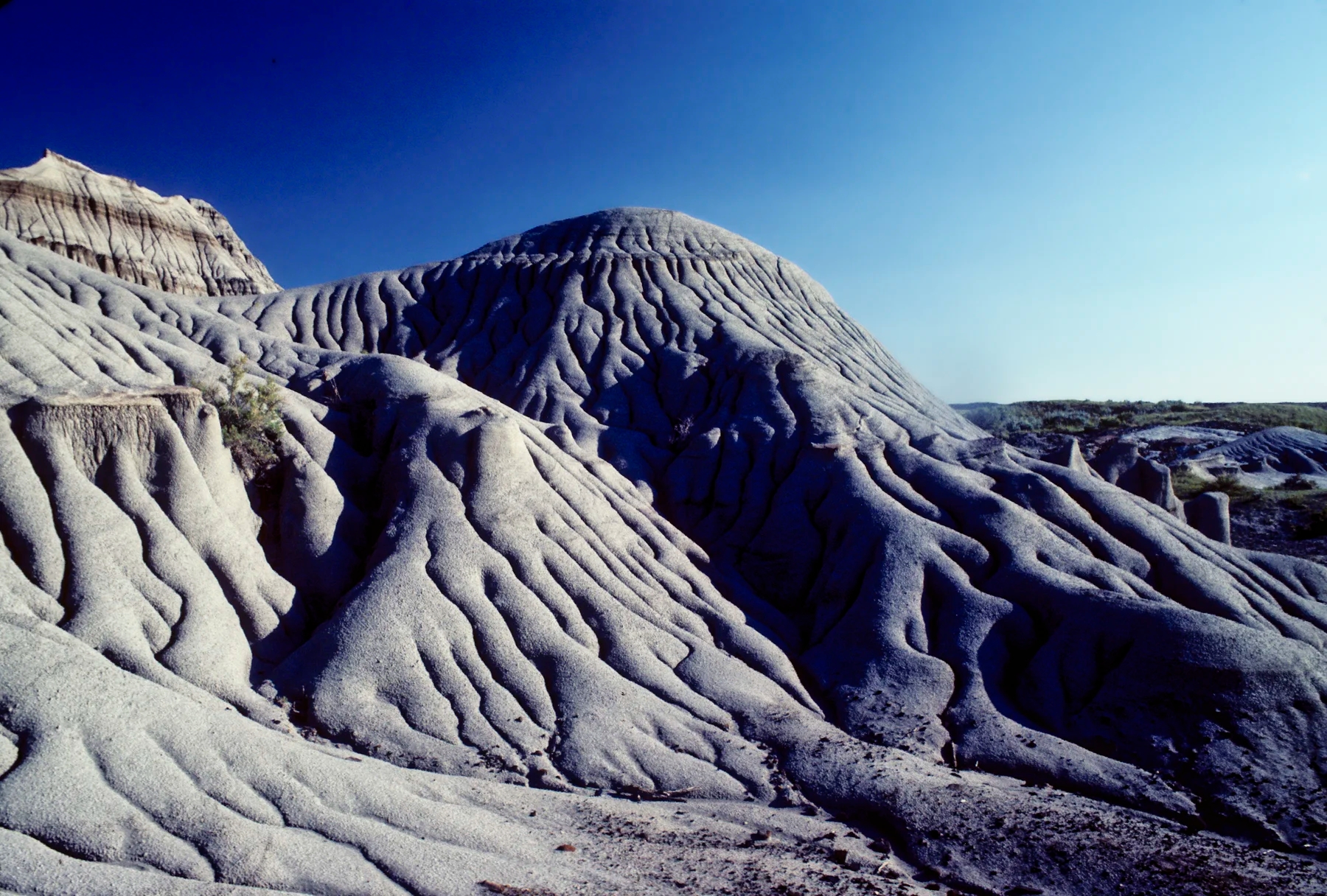
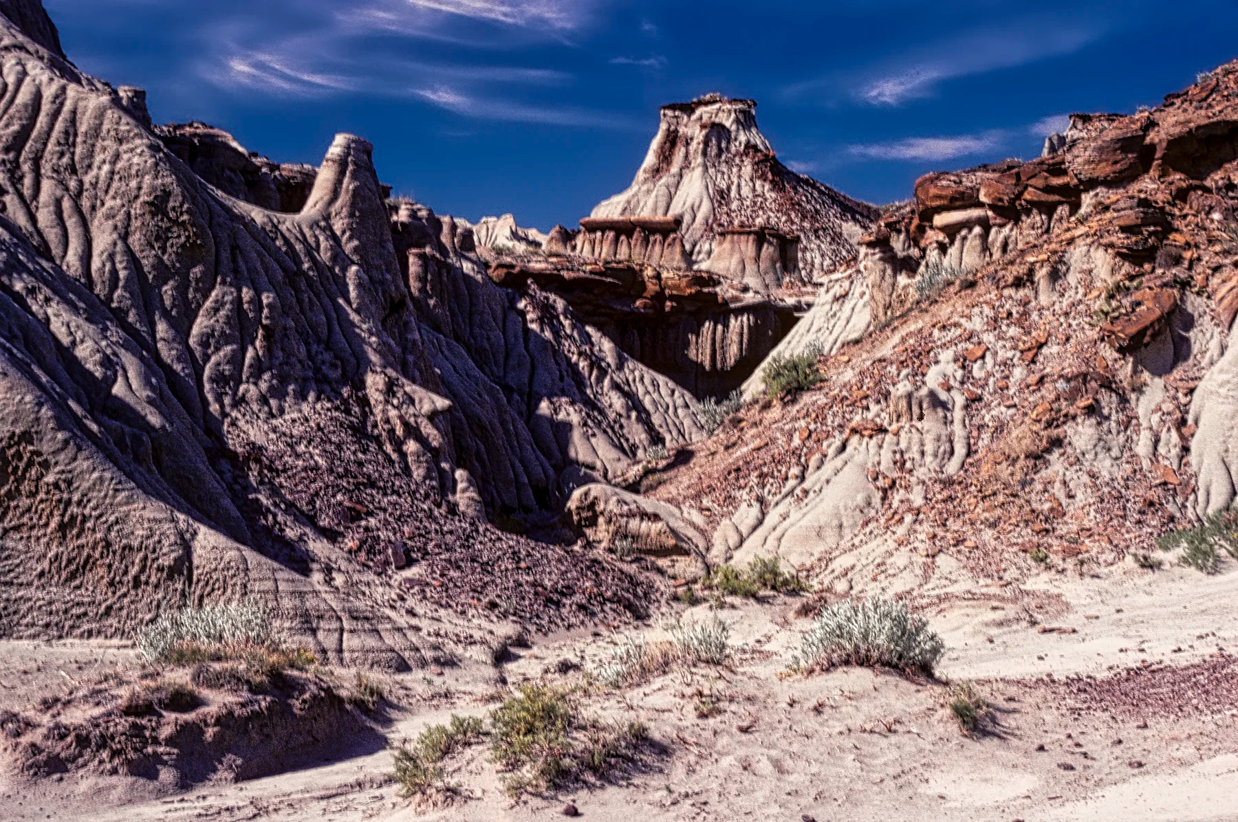
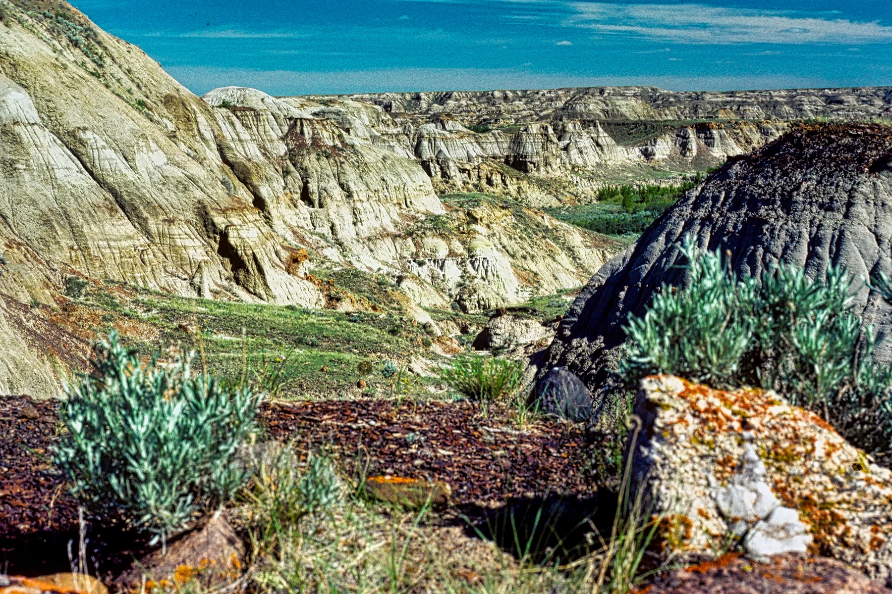
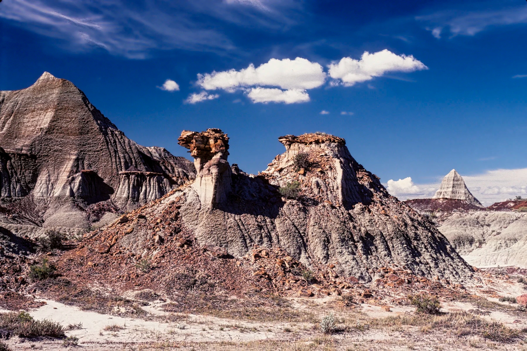
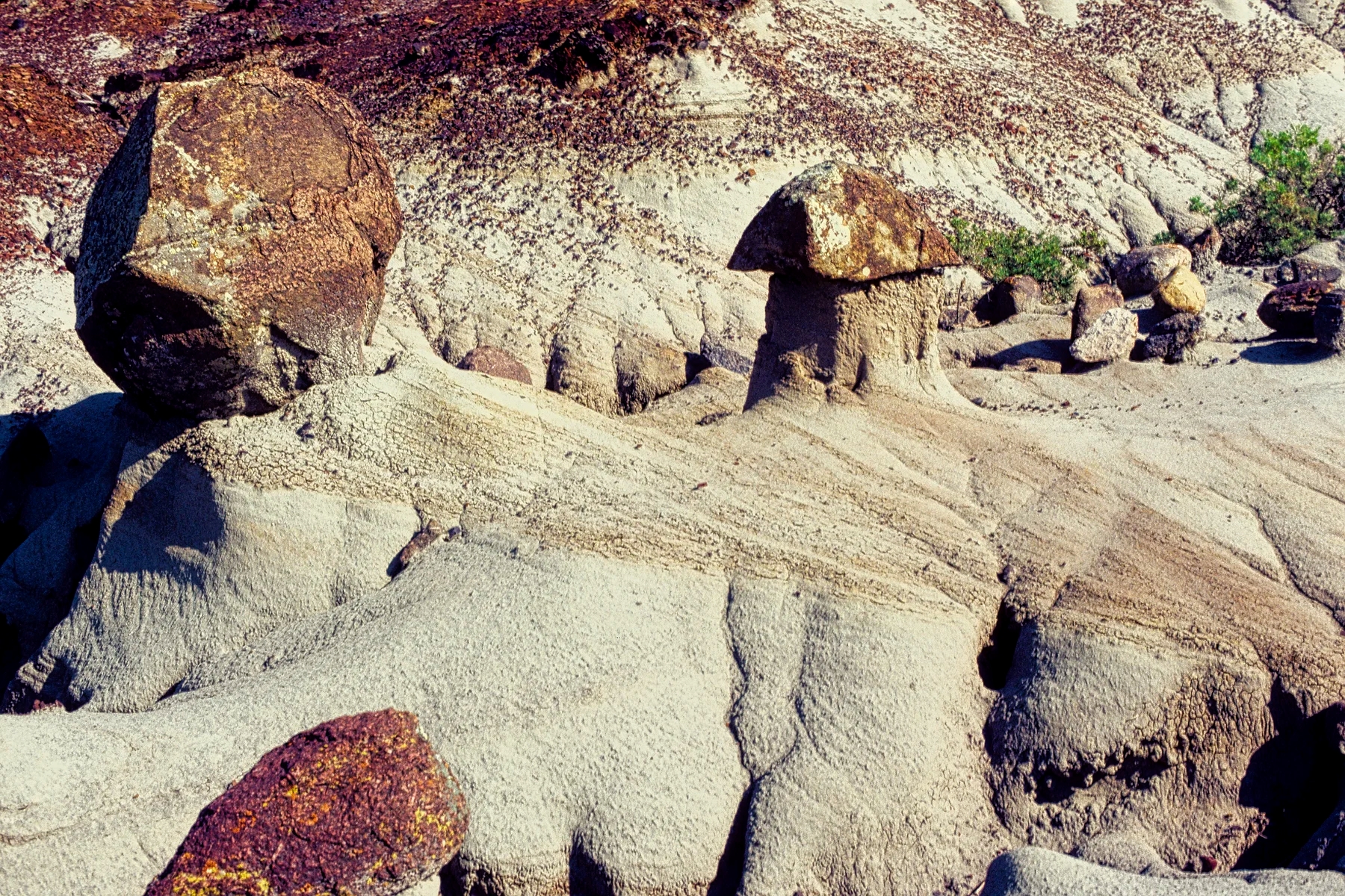
Doi Chiang Dao NP

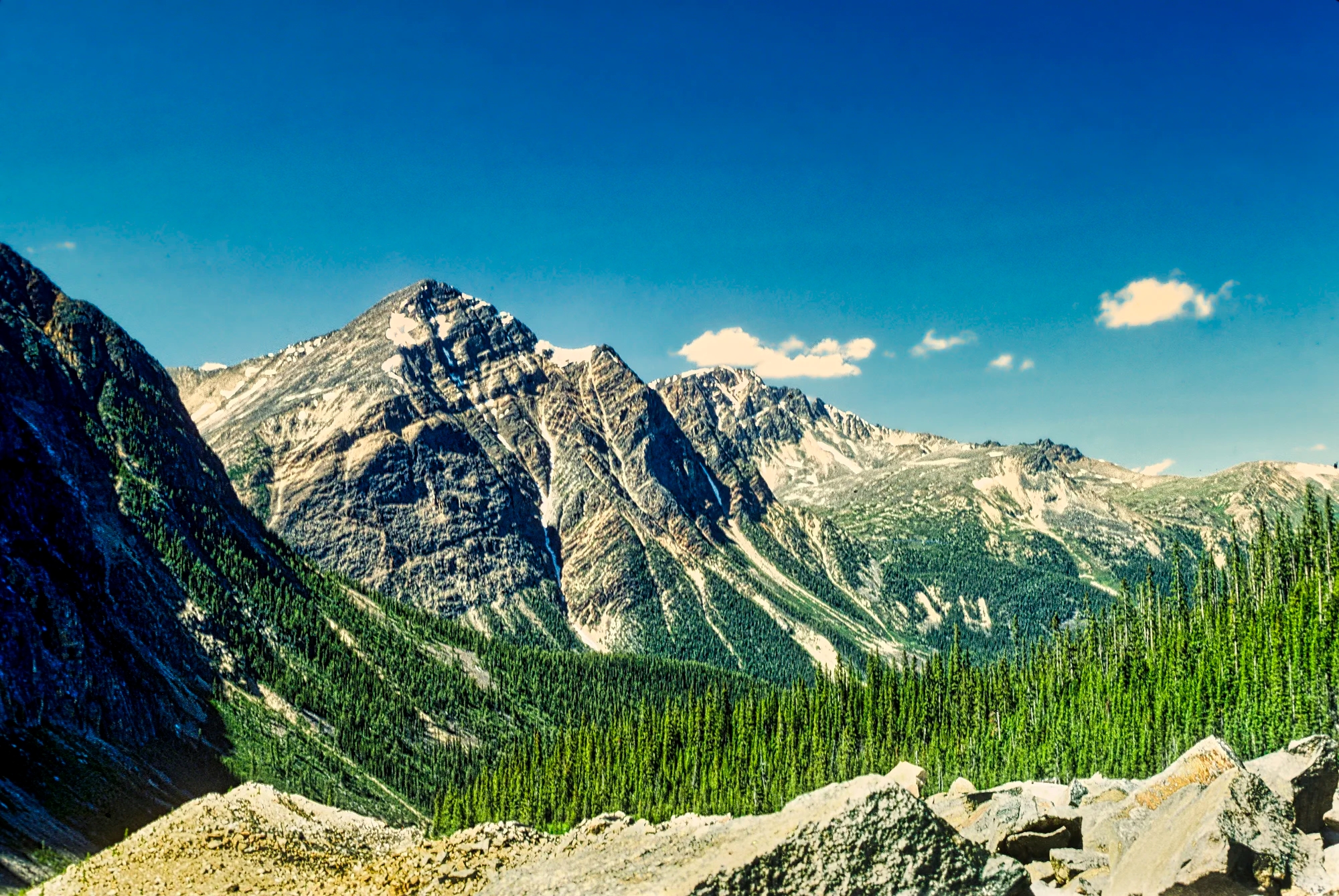
Overlooking the town is the third tallest mountain in Thailand, Doi Luang Chiang Dao (2225 m). Most tourists visit the best known attraction, Chiang Dao Cave. But we have a son who is mainly interested in birding.

It costs 200 THB to enter Doi Chiang Dao National Park (NP). We drove on December 17th to the Den Ya Kat Campground, Summit and Firebreak Trails. The roads here require high clearance SUV. Some of the hills were very rough. It was a long 23 km to the summit.

There was a restaurant in a beautiful setting, with tables separated by tropical plants. One favourite tropical flower is the Shining bird of paradise. Named after the Papua New Guinea bird, some people call it lobster claws.
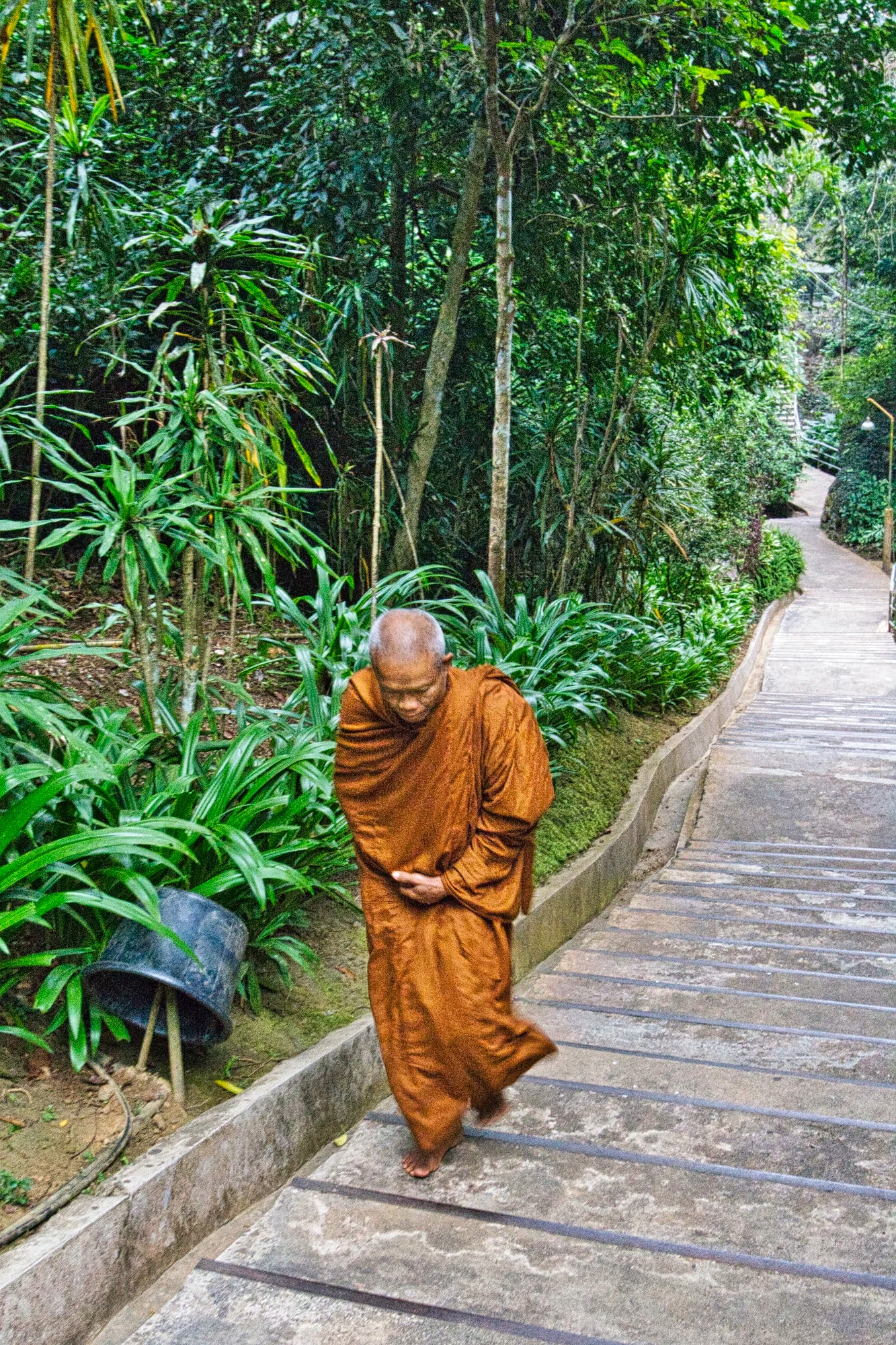
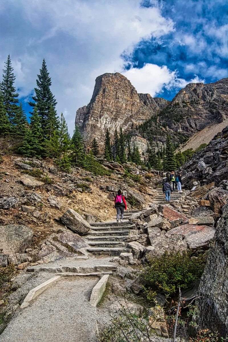
Wat Tham Pha Plong
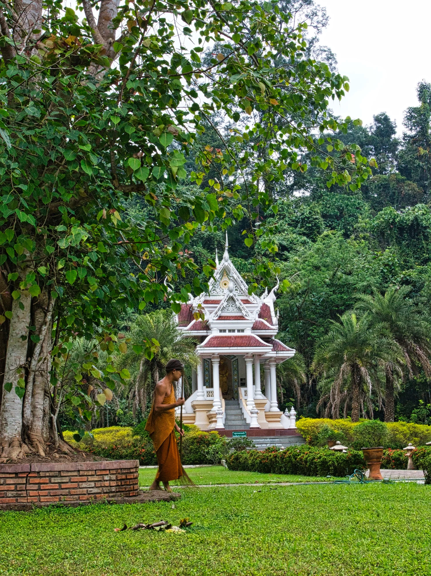
In the afternoon we went to Wat Tam Pha Plong (G4.7), our highlight of this area. There’s no entrance fee for the temple. The road ends in the temple’s parking lot. Here we wandered through the immaculate grounds being cleaned up by monks.

It was too late to do the trail. Instead, we enjoyed this photogenic shrine in its park-like setting.
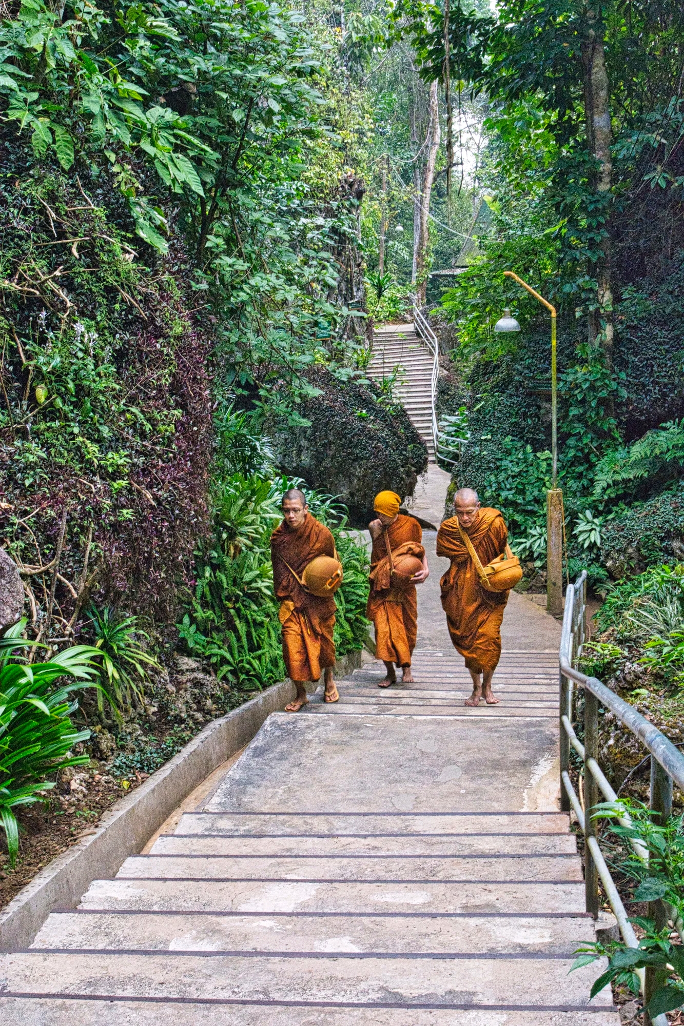
Early the next morning, we climbed a paved trail to the wat. Although it has 510 stairs, it is not a hard climb. Several monks joined us.

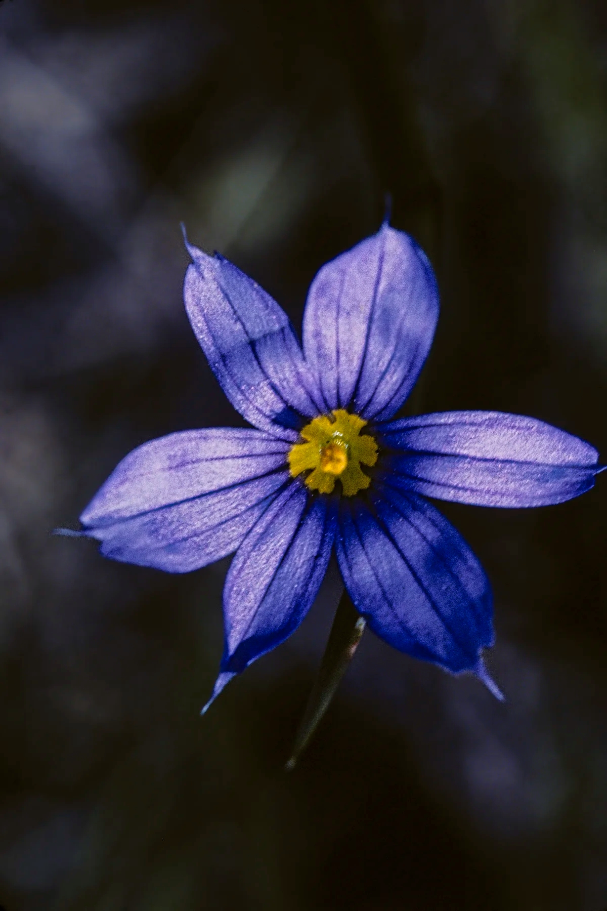
There were interesting distractions as we hike through the jungle, such as these Beach Spider Lily flowers.
The path was sprinkled with many bilingual signs displaying Buddhist sayings and philosophy.

At the edge of the mountain was the dramatic Wat Tham Pha Plong.
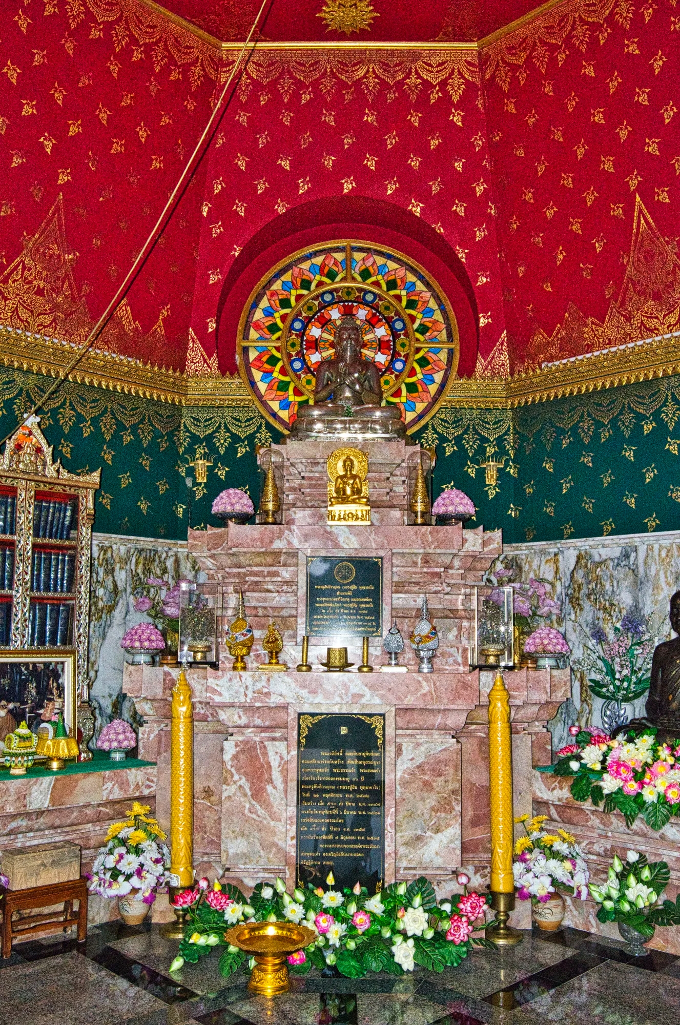
The monk Luang Pu Sim was looking for meditation place. He found the ideal spot in a cave below this shrine. He founded this wat and lived the rest of his life here.

The most spectacular feature was the steep stairway guarded by colourful nagas.
Naga is a deity associated with water and brings either rain or drought — there is always a duality. Images of nagas are found along stairs and roofs of temples because they are the protectors of the Buddha and guardians against evil spirits.
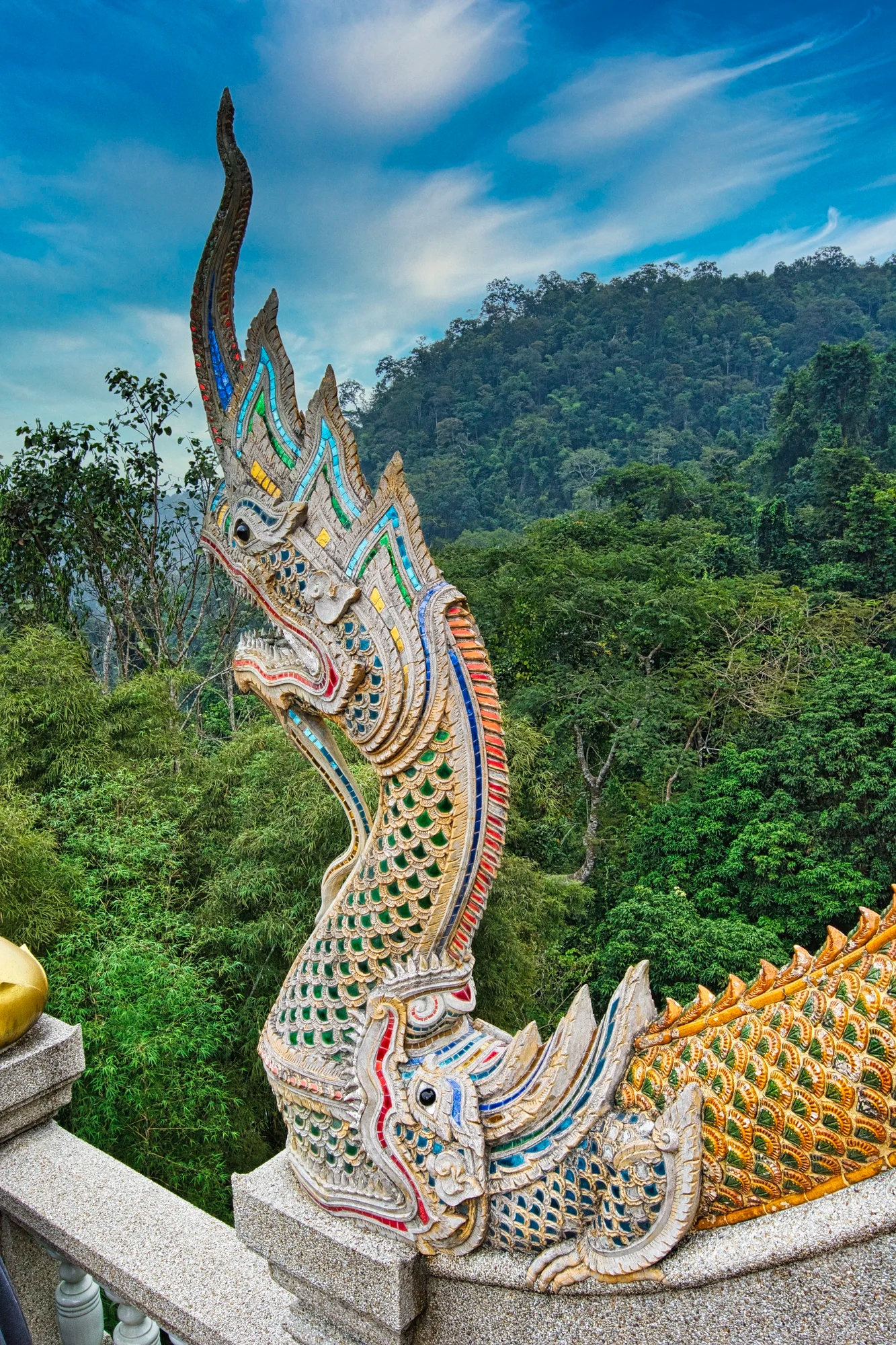
But did you notice that there are actually two creatures? The naga is being disgorged out of a Makara, a mythical creature that resembles a crocodile.
Why are there nagas and makaras everywhere? The prosperity of the kingdom depended on agriculture, especially rice fields. The naga symbolizes water and the makara symbolizes sun. These propitious animals magically produce the correct proportion of rain and sunshine to ensure a prosperous harvest.

This place exudes a calm, peaceful and serene atmosphere. In fact, the wat also serves as a meditation centre. This is a reminder that Thai culture is based on both Hinduism and Buddhism from India. An apsara is a beautiful, youthful and elegant female spirit of clouds and water derived from Hinduism. The middle apsara folds her hands together in the namaste greeting or Añjali Mudrā, which means I bow to the divine in you.
Doi Ang Khang

The entrance to this Agriculture Project provided good mountain views.

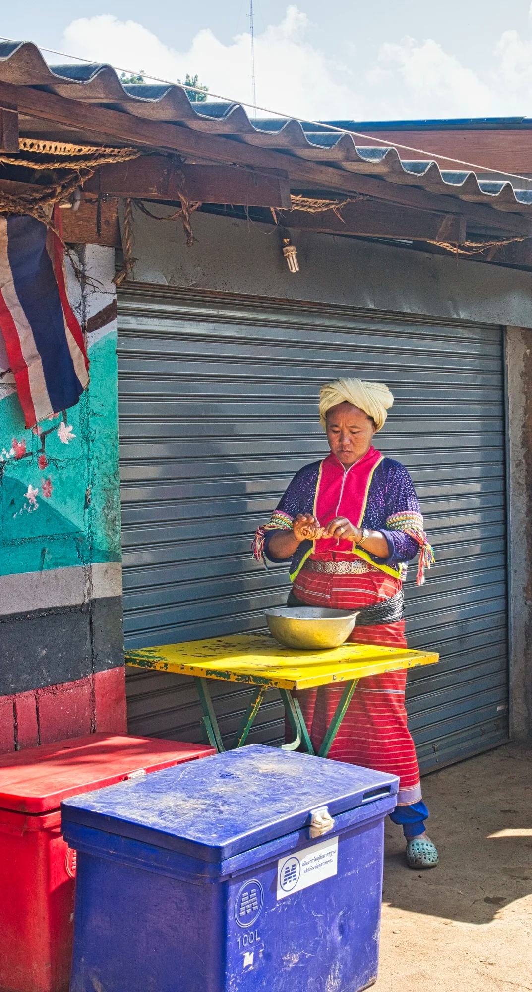
We stopped at this colourful food stall on the mountain road to Ang Khang. The daughter spoke English very well. She actually works in Chiang Mai and was just visiting her mom.
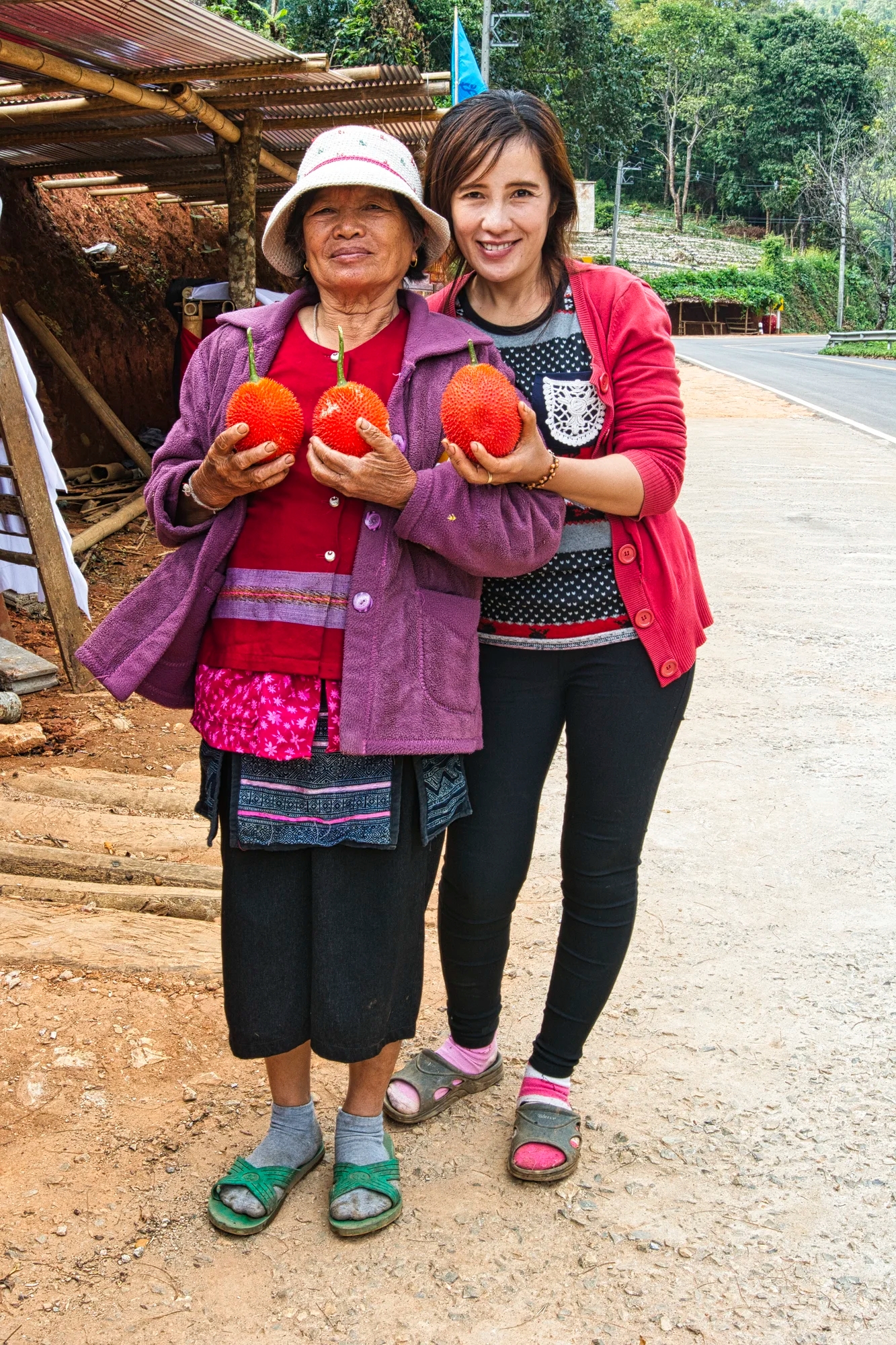
Gac (Vietnamese) or phak khao (Thai) is a type of melon that grows throughout Southeast Asia and northeastern Australia. It often made into delicious juice, which we had at this stall.

Gac has an intense reddish-orange skin. Corinne thought I had changed the colour until I showed her a photo from the internet. It is rich in beta-carotene and lycopene. Lycopene in the gac fruit can help prevent and reverse the symptoms of BPH (Benign Prostatic Hyperplasia).
Ang Khang Nature Resort
The Ang Khang area is located at the border between Thailand and Myanmar. We could not book any hotels on the Agoda web site, so we just took a chance. Unfortunately, the only place that had rooms was the upscale Ang Khang Nature Resort. For that price, the lack of heat overnight was atrocious. We ate a good supper at the resort restaurant. There was a western buffet style breakfast with omelettes made to order.
Ang Khang Royal Agricultural Station

Ang Khang Agricultural Gardens

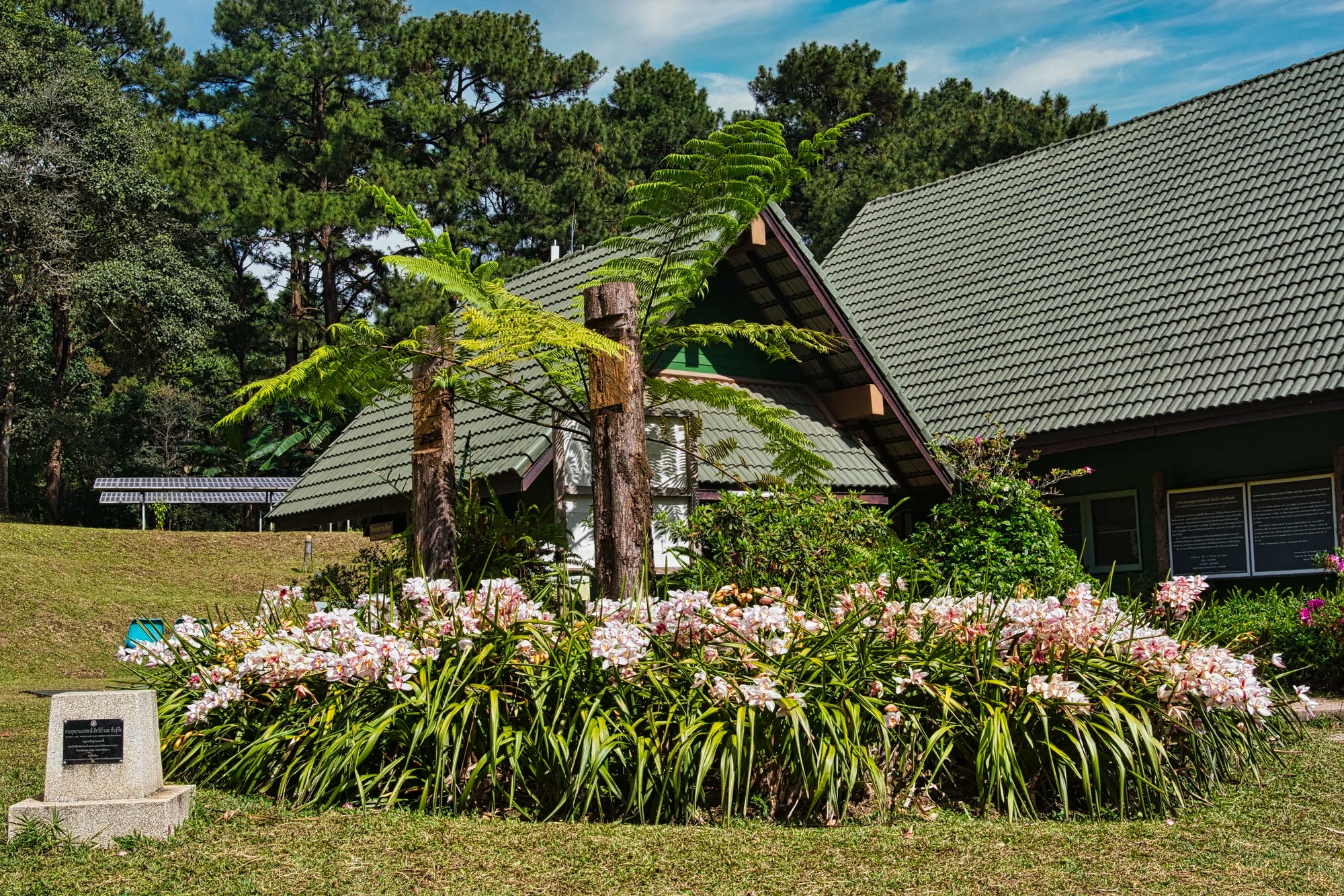
On Dec. 19th we visited the Ang Khang Royal Agricultural Station (G4.6), established in 1969.
There is a nice restaurant Garden 80 (G4.7) at the turn-around point of the circular road. We had a flavourful lunch of Shan chicken curry, chicken soup, mixed vegetables, and delicious northern Thai sausage. There were a surprisingly large number of Thai tourists.

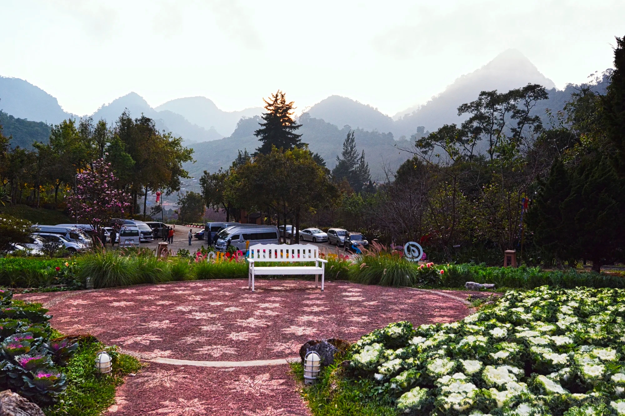
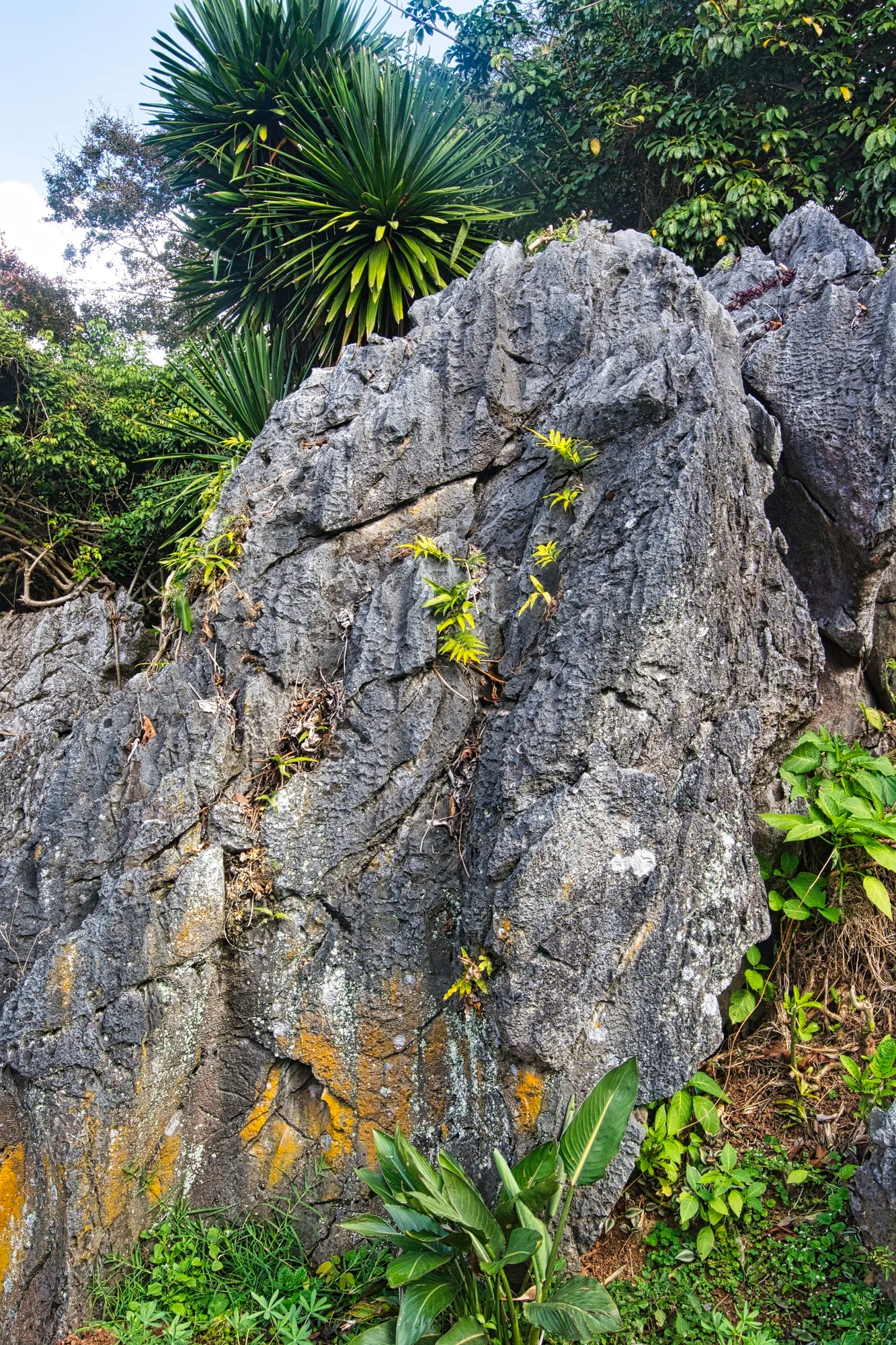
One of the big attractions was the rock garden near the restaurant. This is based on Chinese garden design dating back to the Northern Song dynasty (960–1127). It uses jagged and perforated karst limestone that was etched by the ocean or lakes. The more eccentric the rock, the more it was prized. The rocks symbolize immortal beings or mountainous landscapes.
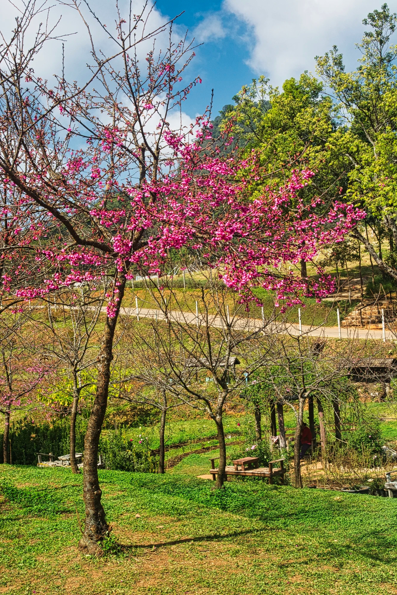
The other big attraction was the Sakura tree orchard (G4.9). Sakura is Japanese for cherry trees. The visitors were in awe of the cherry blossoms.

Fortunately for us, there were pastel pink blossoms in December. Cherries usually bloom in late January to early February. The flowers typically last a week or two. It is quite a photogenic place.
Ang Khang Viewpoints

We drove past these strawberry fields with views of Burma.
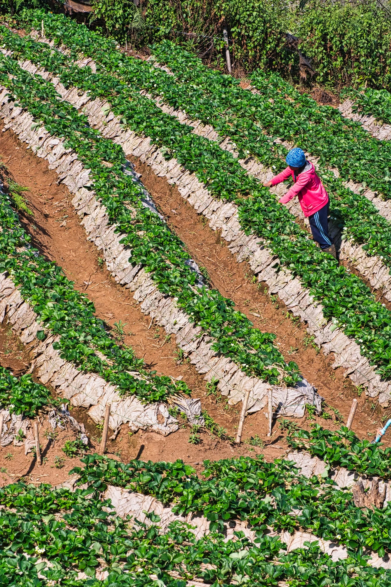
This is quite a large area called the Ban No Lae Strawberry Farms (G4.3).
Today you can drive through the hill tribe villages where once you could only trek. But this village looked very poor. What a difference compared to when we did the Hill Tribe Trek so many years ago.

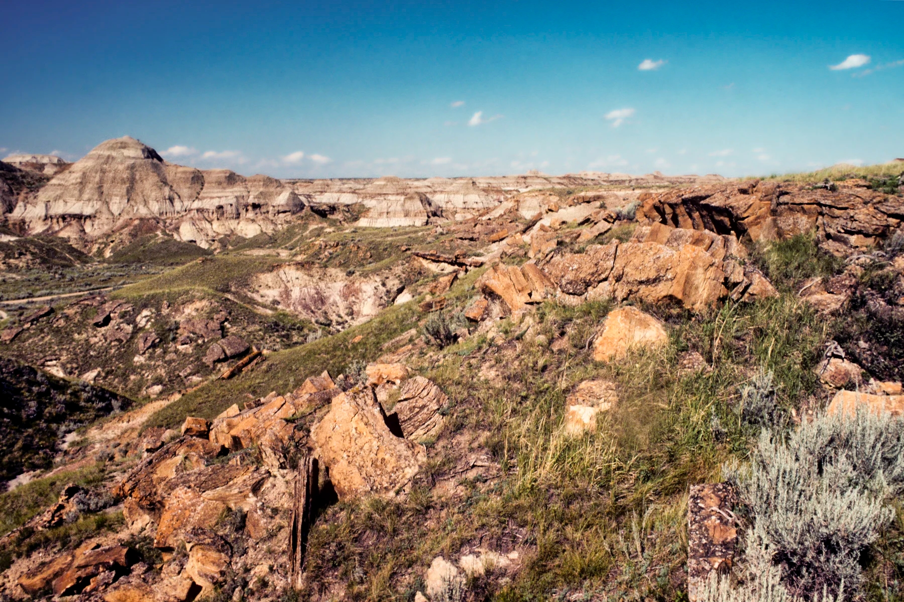
Firebreak Trail
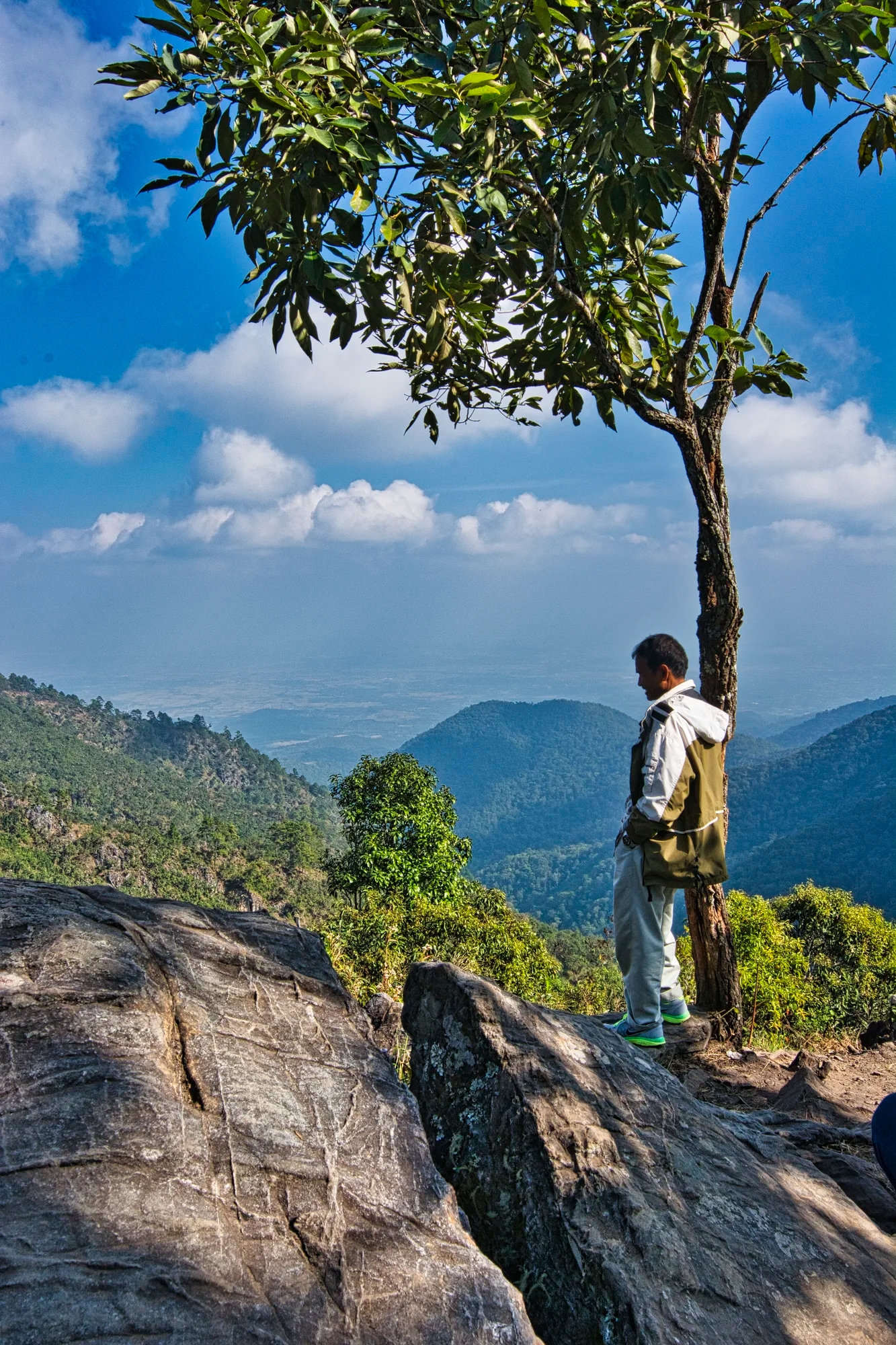
The trail emerged onto a rocky ridge with one of the better views of the mountains. It is assumed that this was the viewpoint at the end of Firebreak Trail. We also did the km 21 Trail.

Sui Thang Viewpoint
On December 20th we drove southwest from the hotel.
Sui Thang Viewpoint (G4.7) is 1,412 m above sea level.

The is the view towards the left from the same viewpoint.
We drove 2.75 hrs to Garden Home Guest House (G4.4) in Mae Ai town. We had a very good, flavourful supper of Pad Thai, green curry chicken, Tom Yum Kung with squid, stir fried veggies, and fruit shakes or beer. The owner Buo Loy and her husband cooked the supper. She showed Corinne the basil plants behind the kitchen and the ingredients that she uses for Thai cuisine.
Doi Lang

On Dec 21st, we drove to Doi Lang NP along the Burmese border. We had to ask permission at the km 19 checkpoint. The border guards here look for smugglers and drugs.
The target species were Himalayan cutis, Red-tailed laughing thrush, Long-tailed Sinai, Crimson-breasted woodpecker, Whiskered Yuhina and Black-throated Bushtit, and Ultramarine Flycatcher (D).
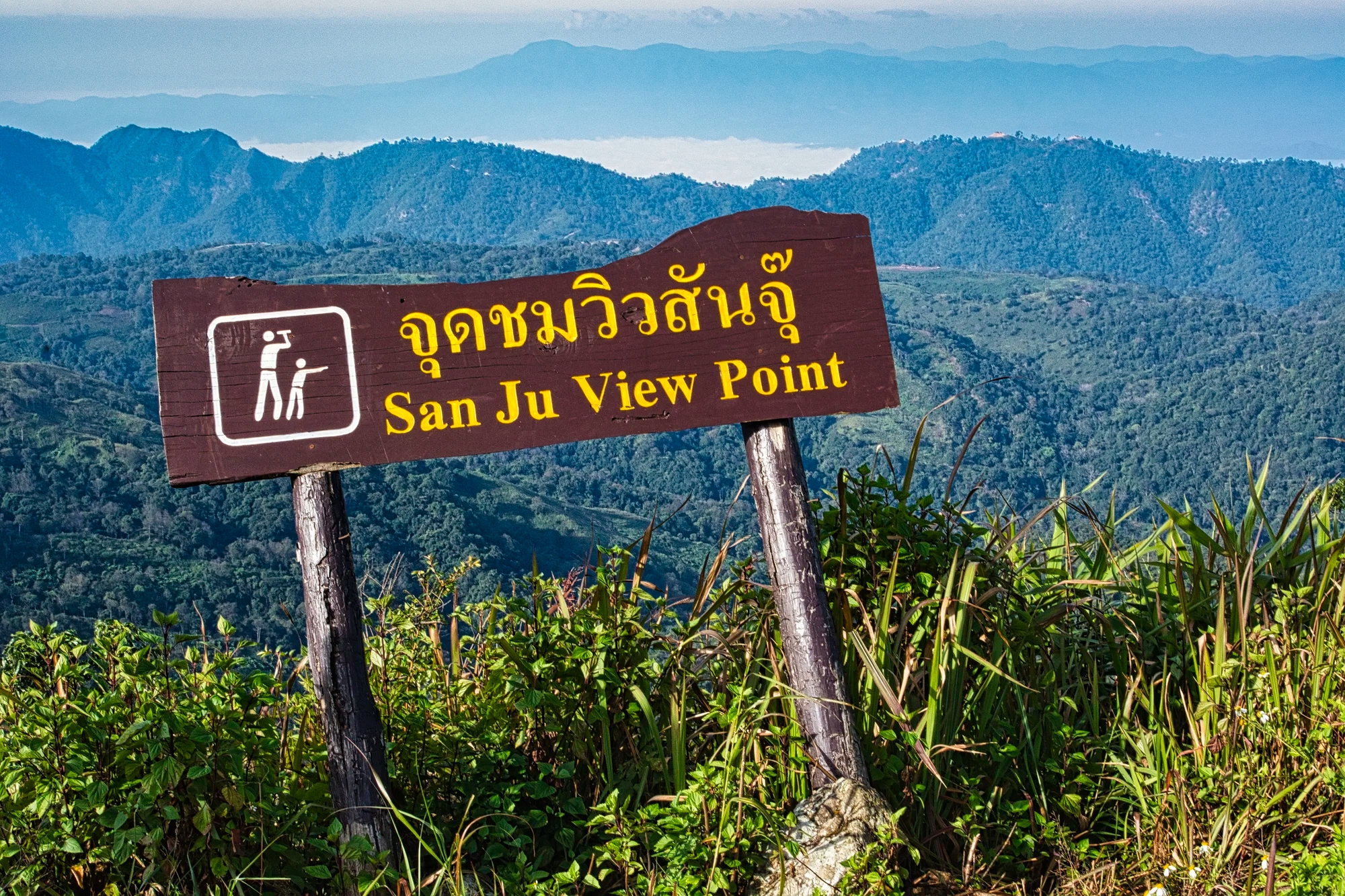
The San Ju Viewpoint gave views of the Burmese mountains. The Burmese border is right next to the road! You were not allowed to drive all the way around, so we turned back.
After we finished, the English speaking guard invited us for tea and a chat.
We drove to the km 26.4 rice paddies and the km 31 evergreen forest.

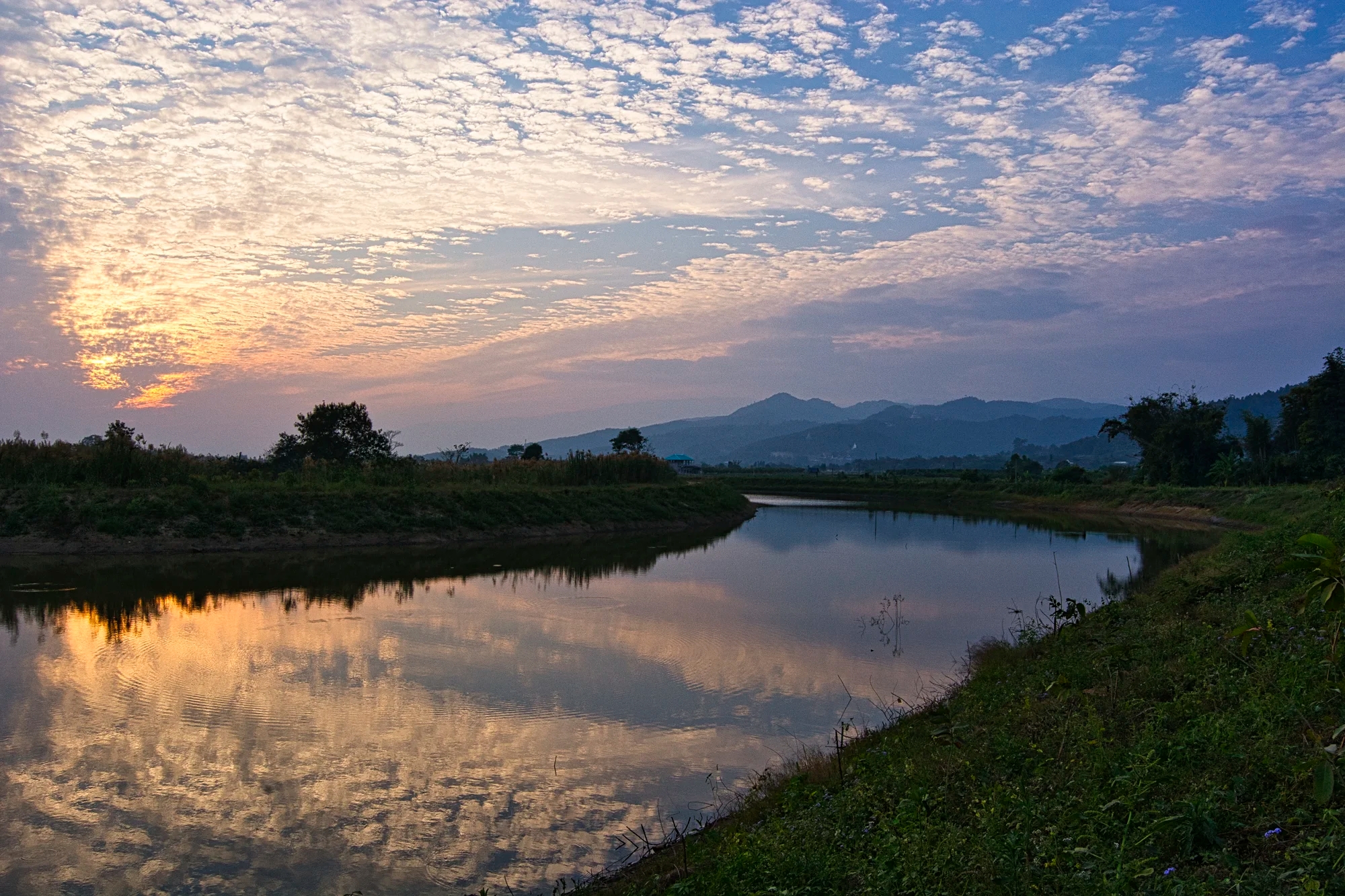
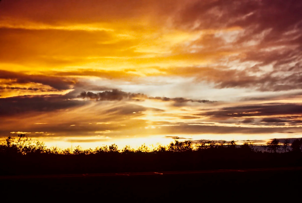
On December 22nd, we drove to this river with a beautiful sunset view. It may have been the Kok River near Thaton Water Tower, since we reported several birds on eBird at 14:27.
On December 23rd, we drove 3 hrs. from Doi Lang to Chiang Mai for our 1:15 hour flight to Bangkok, where we picked up our second rental car.
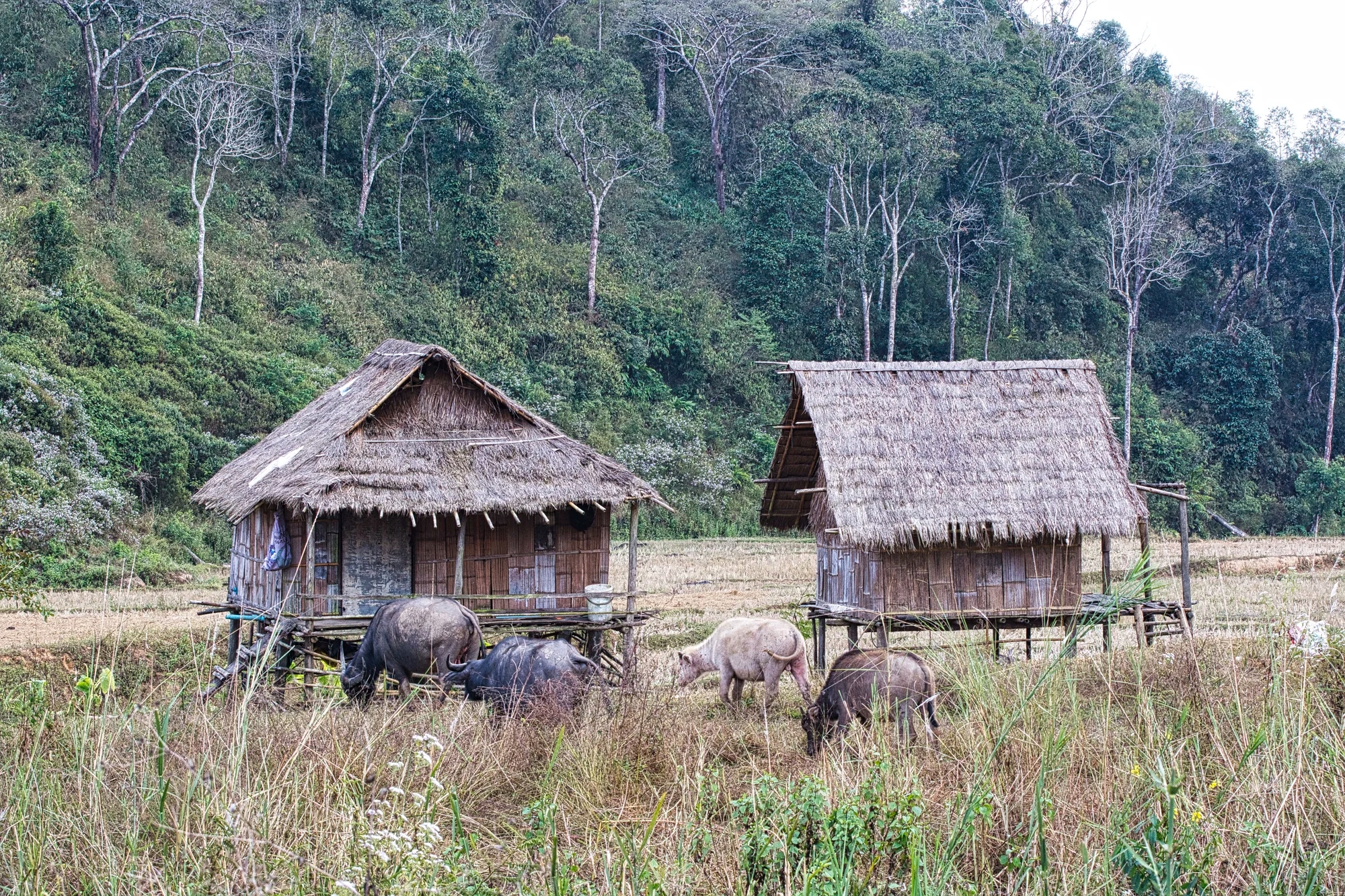
Kaeng Krachan NP
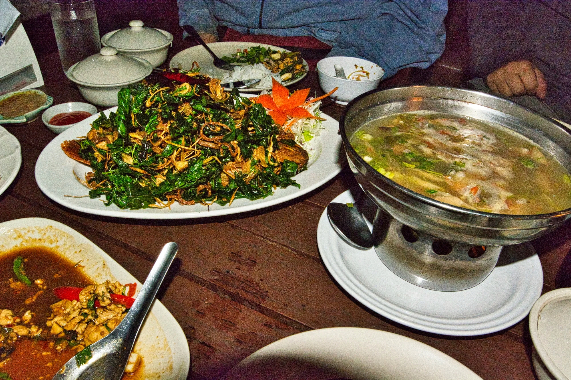
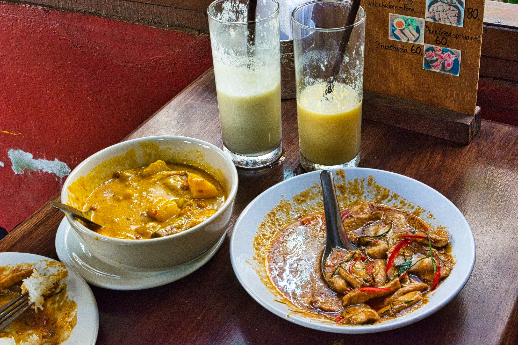
We drove 3 hrs. to Baanmaka Chalet. This was one of our best hotels and the food was delicious. Corinne watched the chef prepare supper and learned more about Thai cuisine. Our first supper included Tom Yum Kung, Green curry chicken, Spicy and sweet been salad, Chicken in Basel, and rice. Don’t worry that you are no longer in the food capital of Chiang Mai. We had some great meals on this trip.
On the December 24th we explored Kaeng Krachan NP (G4.5). We drove to km 9 to the Ban Krang campsite and the trail to the Youth Camp. We went to the Ban Song Nok hide then on to Lung Sin waterhole hide (restricted access).
On December 26th, we drove to the Phanoen Thung campsite at km 27.5. We had lunch at a restaurant then went to the Orchid Trail km 34-36.
We visited the stream crossings 1-3 (see Best Places to See Nature Map) multiple times. Some of the birds we saw were Ochraceous Bulbul, Ferruginous Partridge (D), the near threatened Black-bellied Malkoha (D), Asian Emerald Cuckoo (D), and Little Cuckoo-Dove (D).
Further west on the same road, we found a Kalij Pheasant. We saw monkeys grooming. Other people saw an elephant and a leopard — they were in their car.
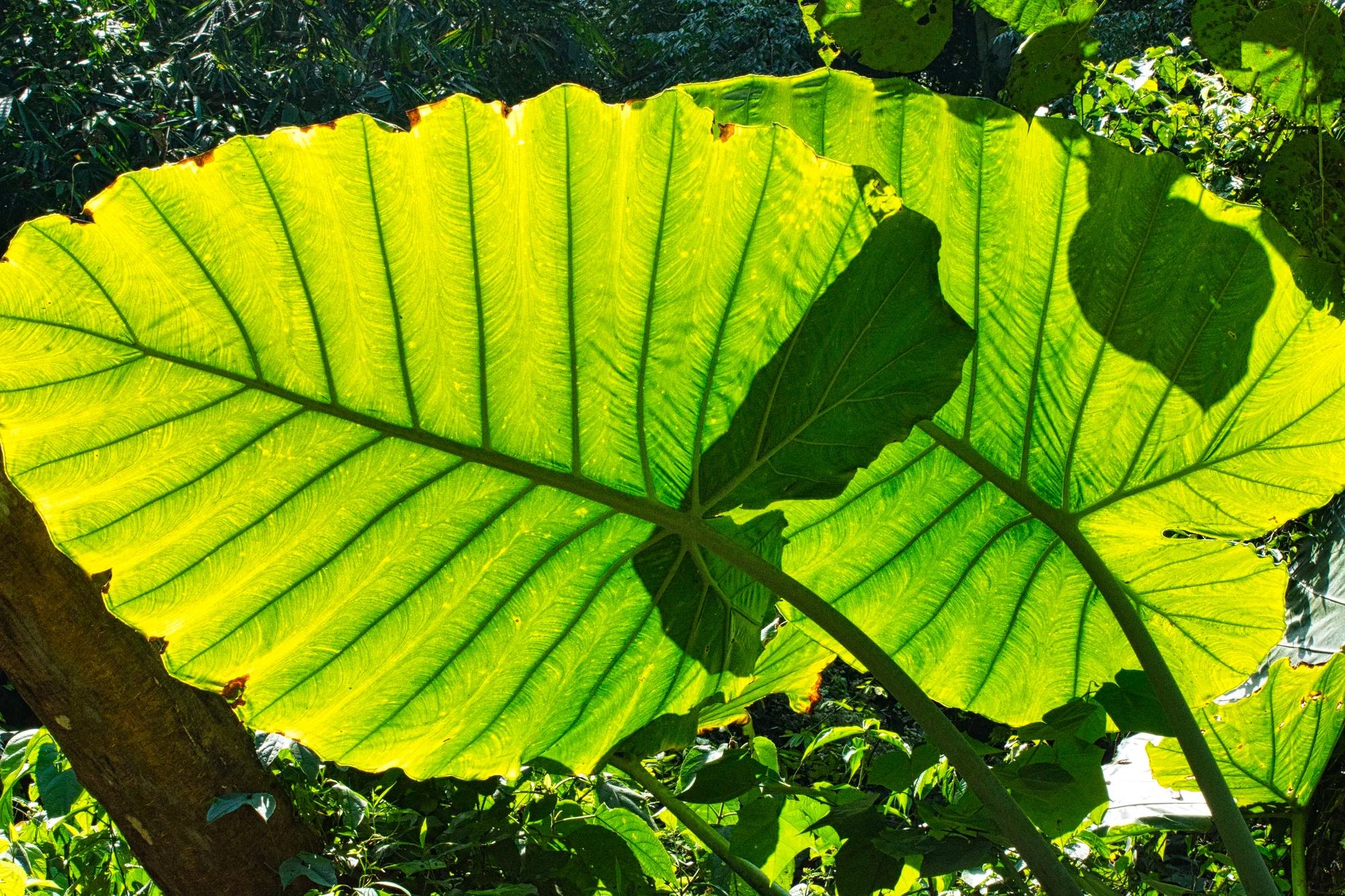
Night-scented lily (Alocasia) has large leaves that resemble an elephant’s ear. It has fragrant blossoms in the spring. It is native to tropical Asia but is common elsewhere.
For supper we had spicy salad with pakkood fern in oyster sauce, Tom Yum Goong, Banana flower spicy salad, and Red chicken curry.
Ban Song Nok Hide
Baan Song Nok, literally means “home to spot birds. Baan Song Nok is the private home of Khun Ba Aek (Auntie Aek), a retired art teacher from Trang. Take the right-hand fork about one kilometre before the NP entrance gate and drive about 4 km until you see the sign for Ban Song Nok on the left.
Lung Sin’s Hide
Lung Sin’s Hide is located at GPS coordinates 12.859469, 99.560245 and pinned to the Best Places to See Nature Map. It has restricted access and we had booked the afternoon. This was one of the best places to visit on our trip.
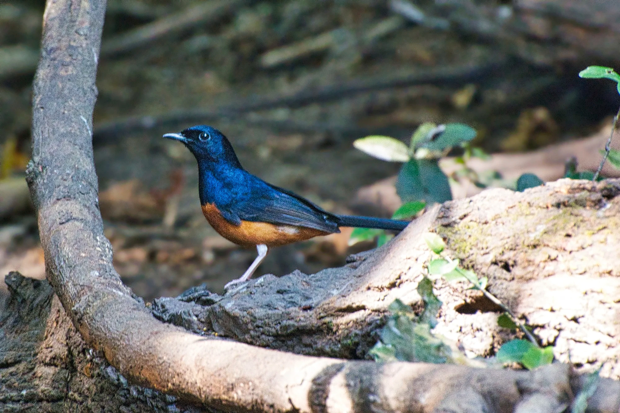
White-rumped shama is a thrush-like bird with a long, graduated tail. Males are glossy black above with rich chestnut below. They are widely poached for the cagebird trade in much of its native range – India, Nepal and SE Asia.

Racket-tailed treepie is a corvid with a long, broad-tipped tail and brilliant blue eyes. Plumage shines glossy blue-green in good lighting. A small black mask encloses the eye and bill base.

Black-crested bulbul is a greenish-yellow bulbul with a dark head and crest. Common to SE Asia, it is often spotted in small groups.

Greater Necklaced Laughingthrush has a contrast of warm brown, dark black necklace, and bright white throat. I love the striated pattern on the cheeks. It is common in Himalayas and from Yunnan to Chengdu, China.

Grey-bellied squirrel is a species of rodent found in Thailand, peninsular Malaysia, southern Myanmar, and southern China (Yunnan).
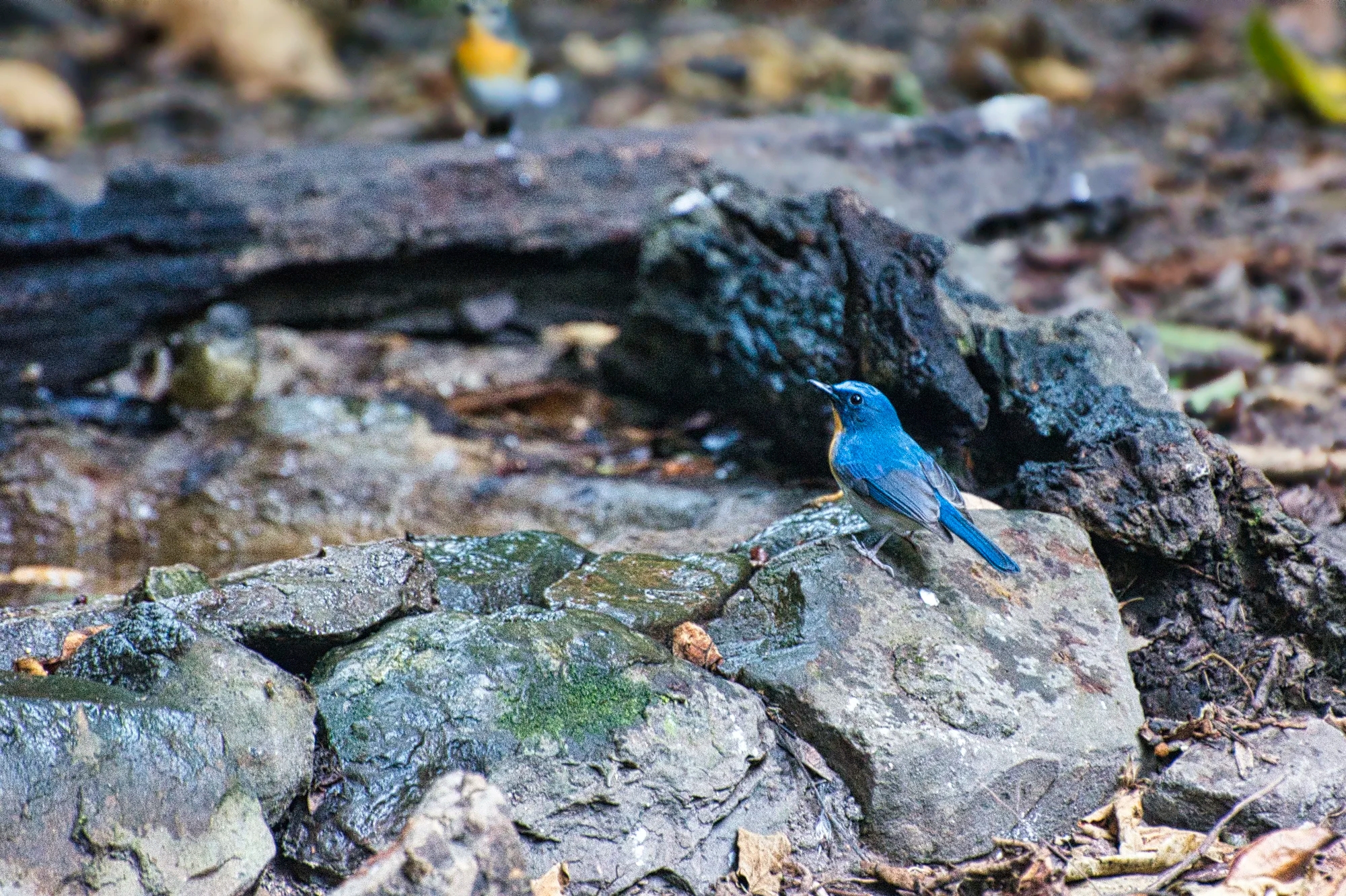
Indochinese Blue Flycatcher (Cyornis sumatrensis) is beautiful blue above, with bright orange throat and underparts. It is common in SE Asia.
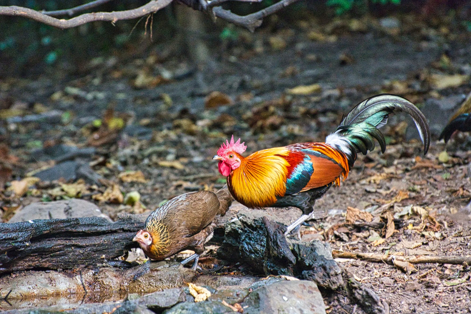
Red Junglefowl (Gallus gallus) is the “original chicken”. It is smaller than its domestic descendants. It is native to India, Nepal and SE Asia, but can also be found as an introduced species around the world.
There were many other birds we saw such as Slaty-legged Crake, Streak-eared Bulbul (D), Puff-throated Babbler (D), Scaly-breasted Partridge (D)

Great hornbill (Buceros bicornis) is a huge, distinctive hornbill with a large yellow bill and casque. Black face, wings, and breast contrast with white neck, belly, and tail. This species inhabits dense evergreen forests. This vulnerable (IUCN category) species is found in southeast India, Nepal, and SE Asia. This photo was taken at an area past the stream crossings 1-3.
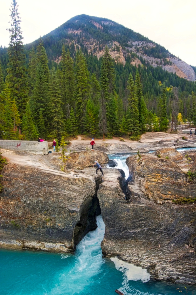
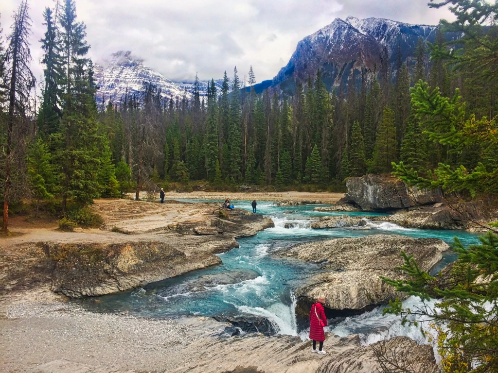
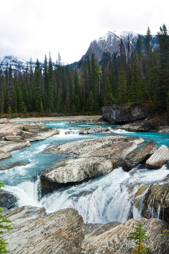
Phetchaburi
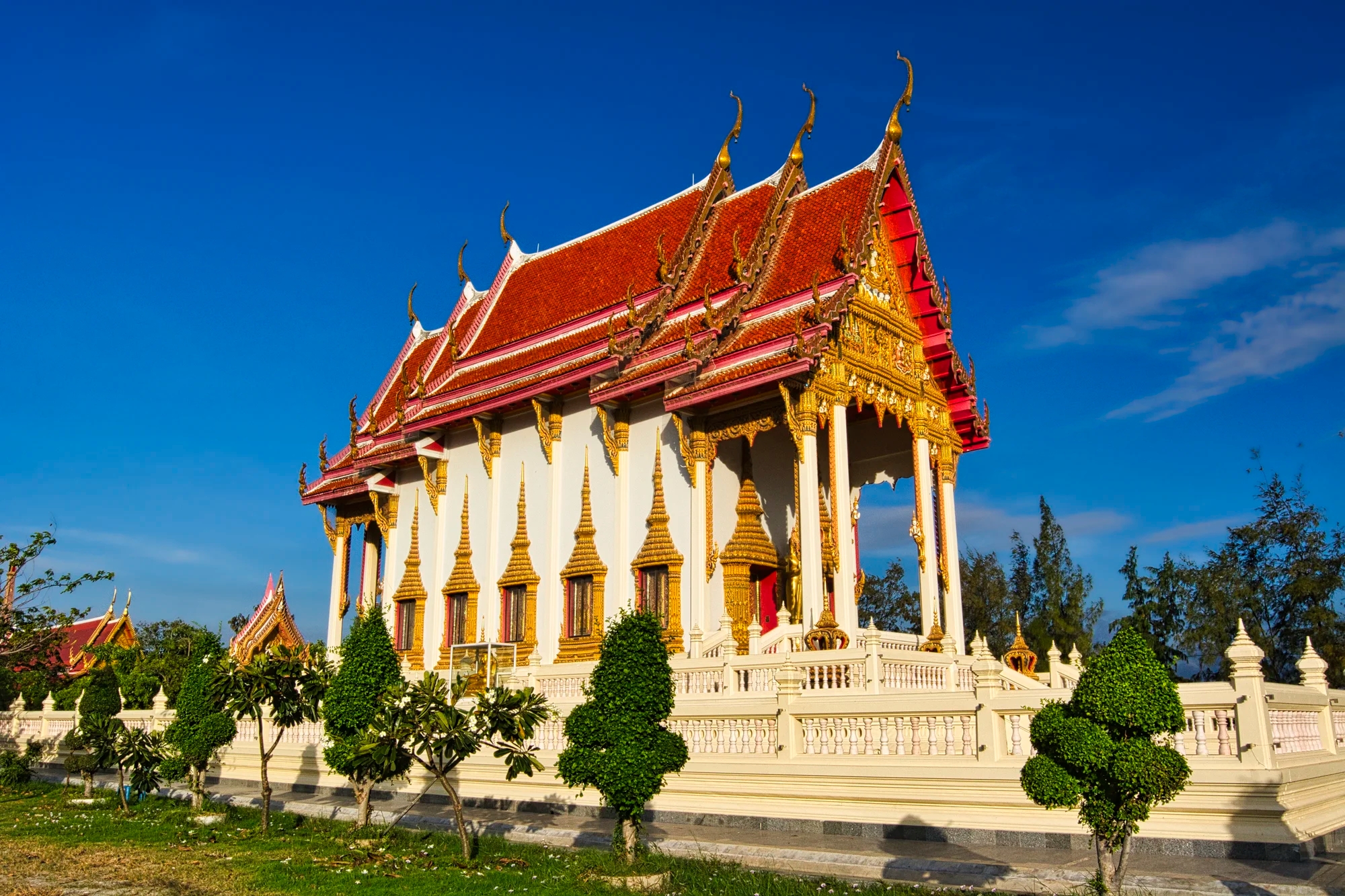
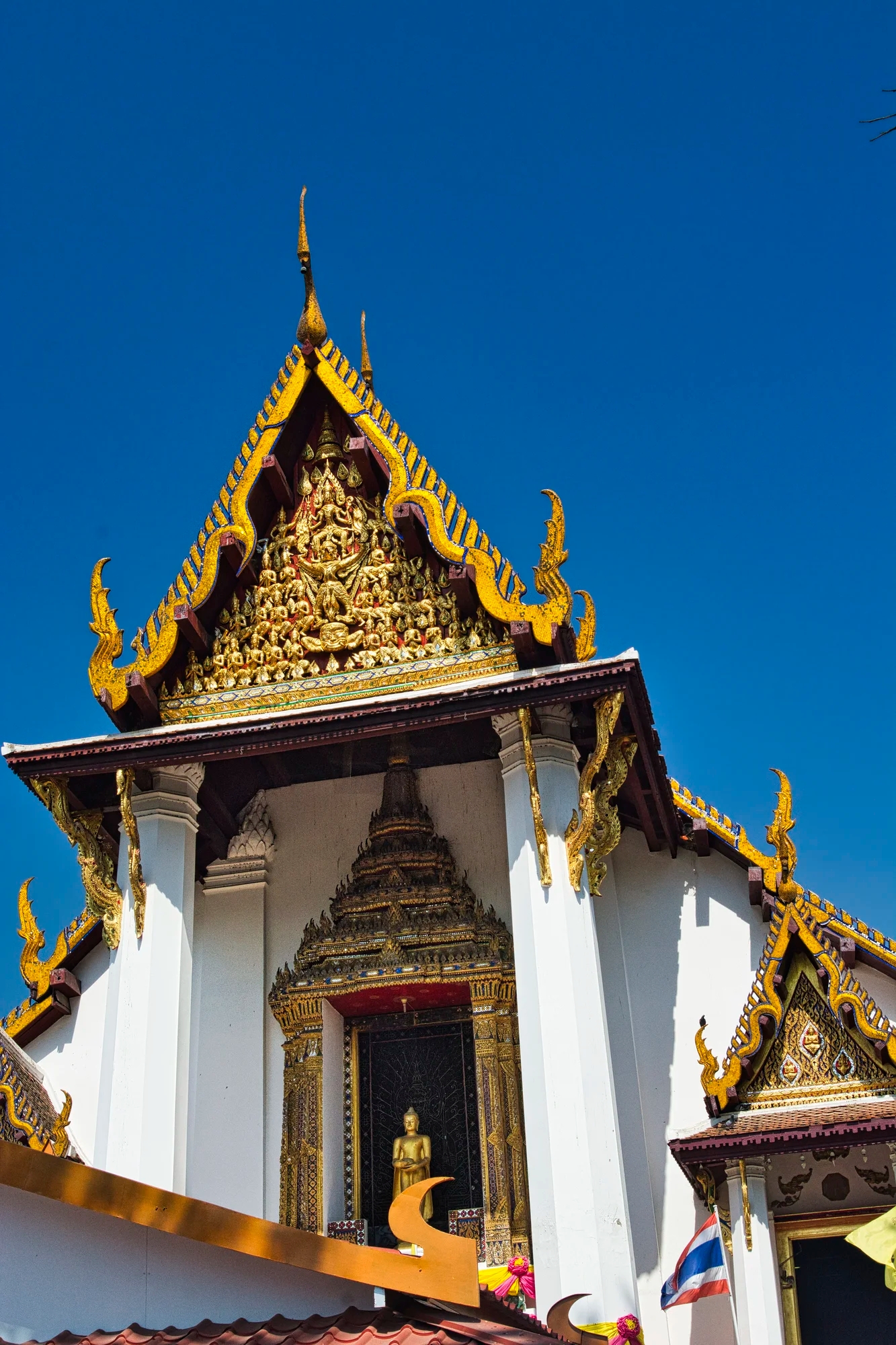
We drove 2.5 hrs. northeast to Royal Diamond Hotel (G3.9), a modern hotel in Phetchaburi on the highway to Bangkok. At the hotel restaurant, we ate red curry chicken, fried noodles with shrimp, mixed seafood, and grilled pork in spicy herb sauce. We arrive late so we took some time to visit Wat Mahathat Worawihan (G4.6) infested with monkeys.
In the Phetchaburi region, Daniele saw 230 species in 3 days. For birders, the main draw is the Pak Thale area. Further south lies the beach resort of Hat Chao Samran.

In the morning of December 27th, we drove along the salt pans and saw this shrine or temple along the river. It was quite elaborate for this small township. We are not sure what is its’ purpose or name. It just adds an exotic atmosphere.
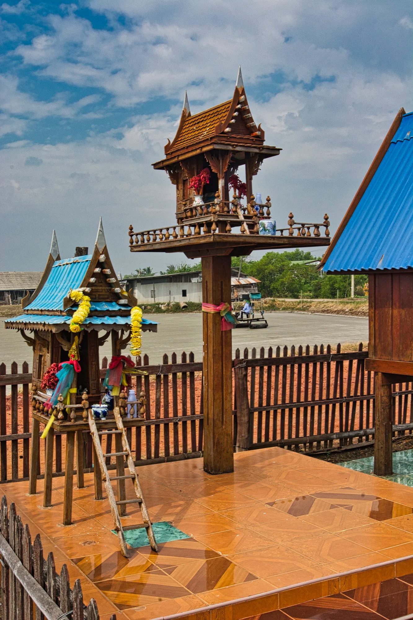
We discovered these Spirit Houses – they were probably to appease the spirits for building the next door shrine.
Laem Phak Bia Sandspit

It was still morning when we found the Mr. Daeng Bird Watching place. We hired him for an boat trip to the Laem Phak Bia Sandspit (G4.6) but the trip was not until late afternoon due to the tides.

Rather than return later, the family offered to make us lunch in their little dining area. Mr. Daeng. The daughter was in 4th year at a Bangkok university and spoke English.
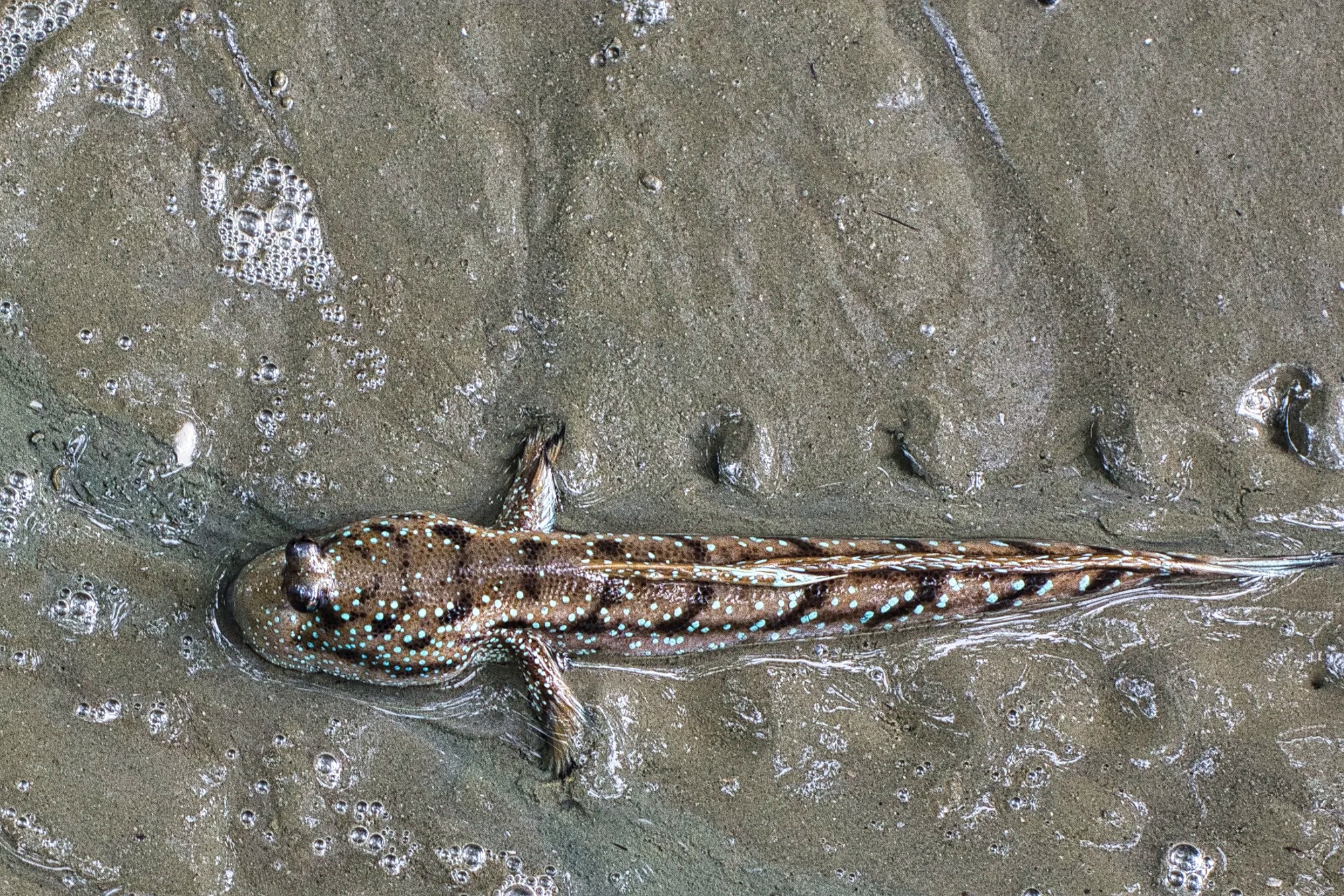
While we waited, we saw this Periophthalmini. Mudskippers are a species of amphibious fish. Their side pectoral fins are are jointed and located at the forward part of their elongated body. These fins function like limbs to enable the mudskipper to crawl.

The purpose of the Mr. Daeng boat trip was to spot wading birds on the Laem Phak Bia Sandspit.
We saw birds such as Pallas’s Gull (D), Malaysian Plover (D), Tibetan Sand-Plover (D), Great Crested Tern (D), Little Ringed Plover, Terek Sandpiper, Pacific Reef-Heron, and Chinese Pond-Heron.
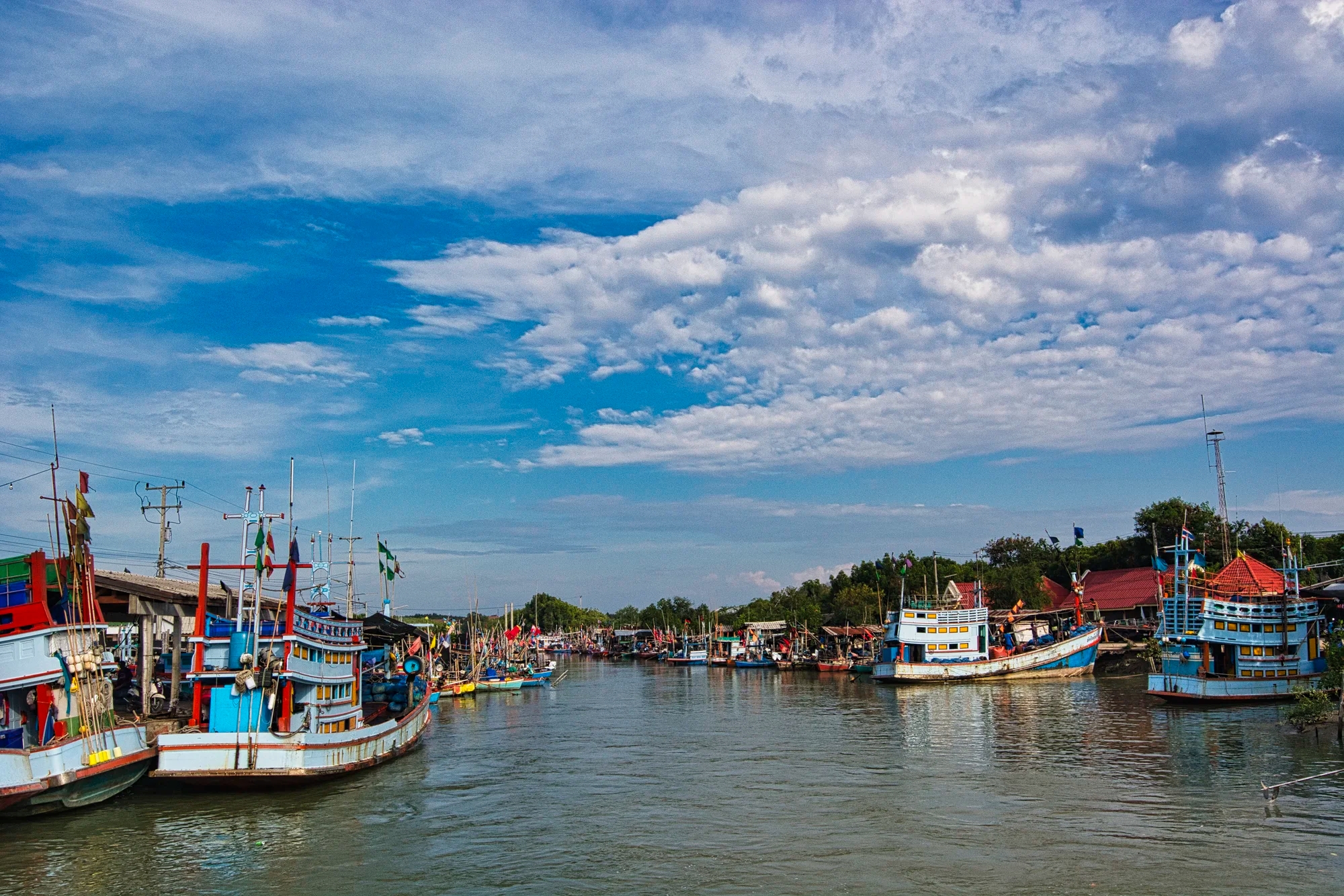
This was a great view of the Harbour as we headed back.
Laem Phak Bia Project
The Laem Phak Bia Environmental Research & Development Project (G4.6) is like a beautiful park. It is definitely worth visiting to enjoy nature and especially birds. We came multiple times between December 27th and 29th.

One of my favourite birds was the White-throated Kingfisher. The electric-blue back and wings, dark red bill, and snow-white throat patch contrasts with the rest of this brown kingfisher. It is often see near water, frequently perched on posts or trees. It is common to Asia and the Middle East.

Another favourite bird was the Collared Kingfisher. The unusual greenish-blue crown and rump, plus white collar and breast are spectacular.
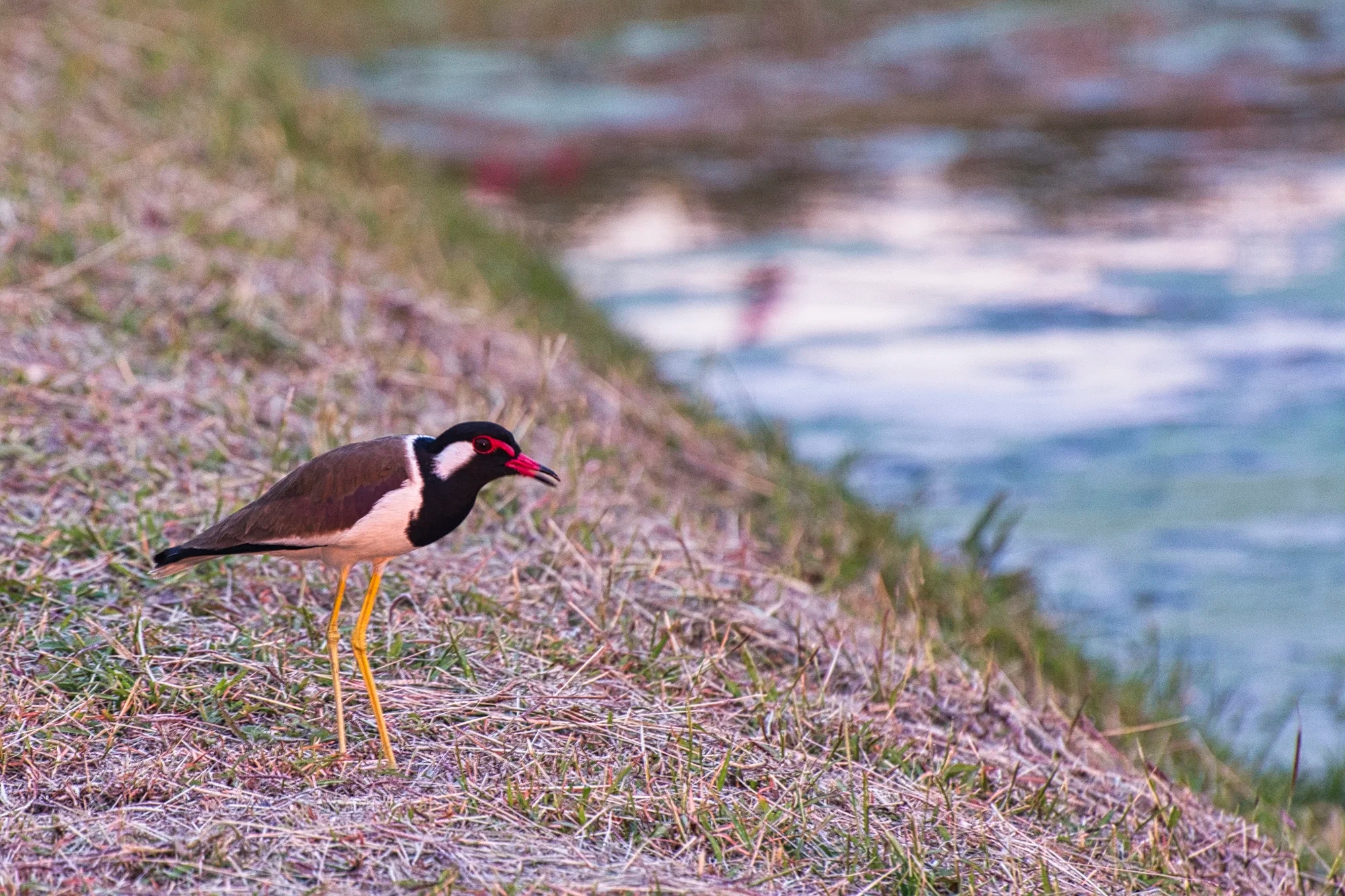
Red-wattled lapwing has a distinctive red bill contrasting with the black body.
Some of the other birds we saw in this area include Ruddy-breasted Crake, Pink-necked Green-Pigeon (D), Great Myna (D), and the Siamese Pied Starling (D).
We went to the restaurant Rabieng Rimnam (G4.5) in Phetchaburi a couple of times. We ate spicy winged bean salad, spicy banana blossom salad, stuffed chicken in pandanus leaf, Pad Thai, rice, and banana and pineapple shakes.
Wat Samut Kodom
Even though we are not in a capital or major centre, there are still magnificent temples to be seen. All we know is that its’ name is Wat Samut Kodom (G4.3). It is right next to the Laem Phak Bia Project. The other thing we noticed is that this viharn design has been used by several wats in Thailand.
Wat near Phetchaburi
We do not know the name of this wat near Laem Phak Bia.

But inside there was a market in the late afternoon.
Laem Phak Bia Salt Pans
The Pak Thale Shorebird Conservation Area coexists with areas of salt evaporation ponds. The land is privately owned, but it is a popular location where bird-watchers can see shorebirds. Many birders including our son come here looking for the critically endangered Spoon-billed Sandpiper.

Is this a Salt Zamboni? A man was “paving” the salt with this roller machine.
To make the salt, the prepared fields are flooded with sea water pumped in from the near-by Gulf of Thailand, dammed, and left to dry naturally in the sun. When the water has evaporated, the salt is piled and taken away to be cleaned and bagged for sale. It takes one month to produce the salt – very labour intensive.
We saw the Ornate Sunbird (D), Spotted Redshank (D), Temminck’s Stint (D), and the Spoon-billed Sandpiper.
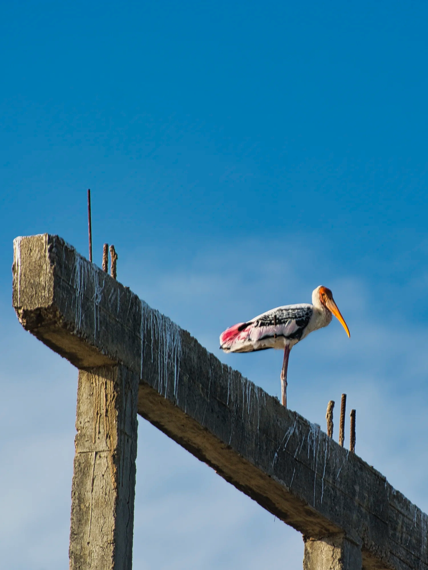
Painted stork has a long bill that curves down at the tip, like that of an Ibis. There is a contrast of white and black on the wings, bright pink on tertials, and bright orange on the face. They are often seen near wetlands, marshes, and flooded agricultural fields.
Some of the other birds we saw in the salt pans were Asian Koel, Asian Palm Swift, Tibetan Sand-Plover, and Black-winged Stilt, Kentish Plover.
Mai Phayung Kitchen

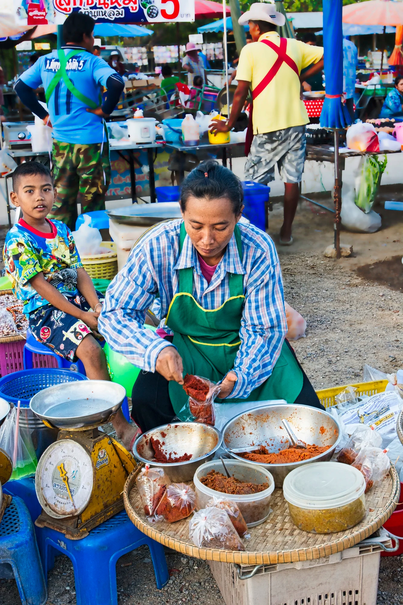
Mai Phayung Kitchen (G4.3) is owned by three sisters. Here, one of the sisters is using a pestle and mortar to make our Som Tum (spicy papaya) salad accompanied with the unique sticky rice (khao niao).
We also had these skewers of chicken and pork. We met the third sister Oui (nickname), Dararat Thong-pet (real name), after we finished our meal. She was the only one who spoke English.
Leaving Phetchaburi on the December 29th, we went to the radio mast, the fish ponds, the irrigation canal, and Nong Pla Raptor watch point. After lunch we drove 6.5 hrs to Juldis Khao Yai Resort for 3 nights.
Khao Yai NP
In the Nakhon Ratchasima province, Daniele saw 97 species over 2 days. Khao Yai (G4.5) is the oldest national park (NP) and preserved tropical forest. However it not totally intact due to all the roads and people. It was by far the busiest NP.
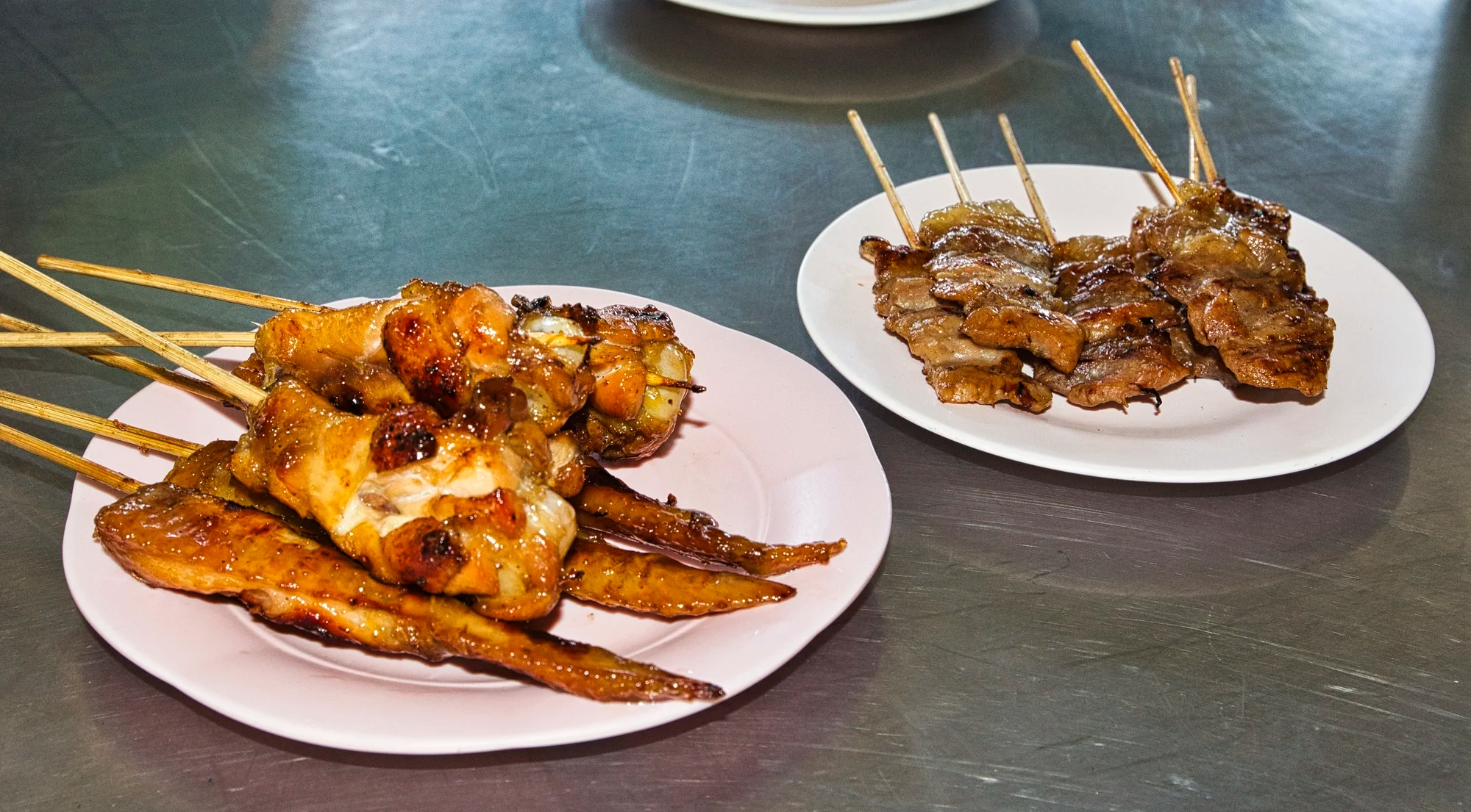
There were an incredible amount of resorts and restaurants on the road head into Khao Yao NP. Restaurant Lakhing was owned by Jib, who explained the difference between krachai and galangal, two major ingredients in Thai cuisine. We ate Tom Yum Goong, Morning Glory with crispy pork, and seafood with herbs.
Wildlife
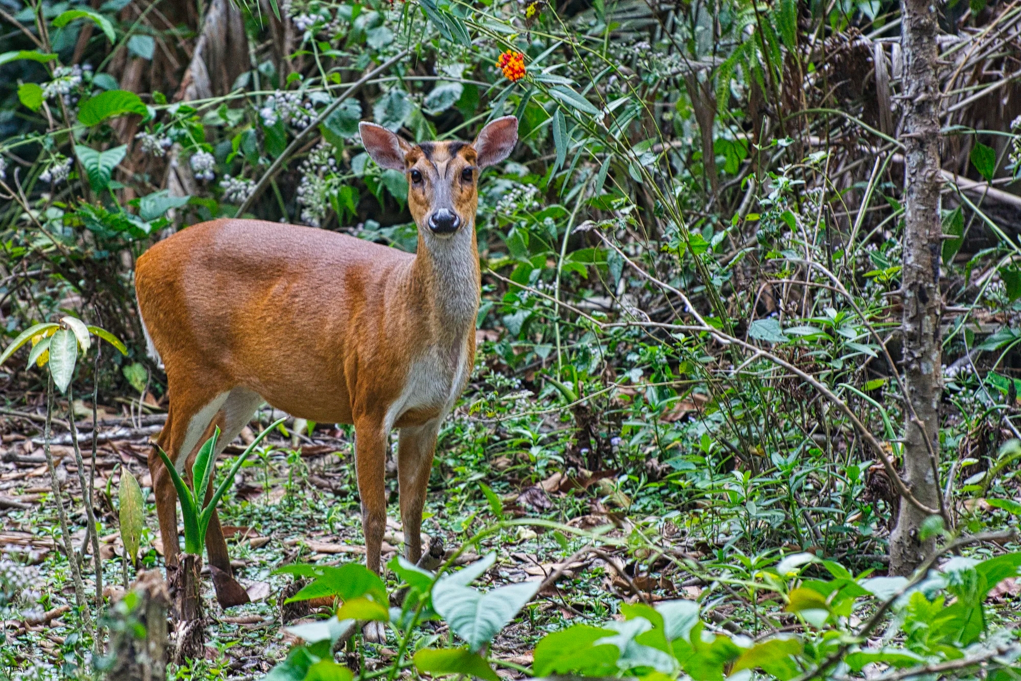
The Southern Red Muntjac is a deer species native to Southeast Asia. Khao Yai NP is a great place to see 112 species of mammals like elephants and leopards, and 392 species of birds like hornbills and pheasants.
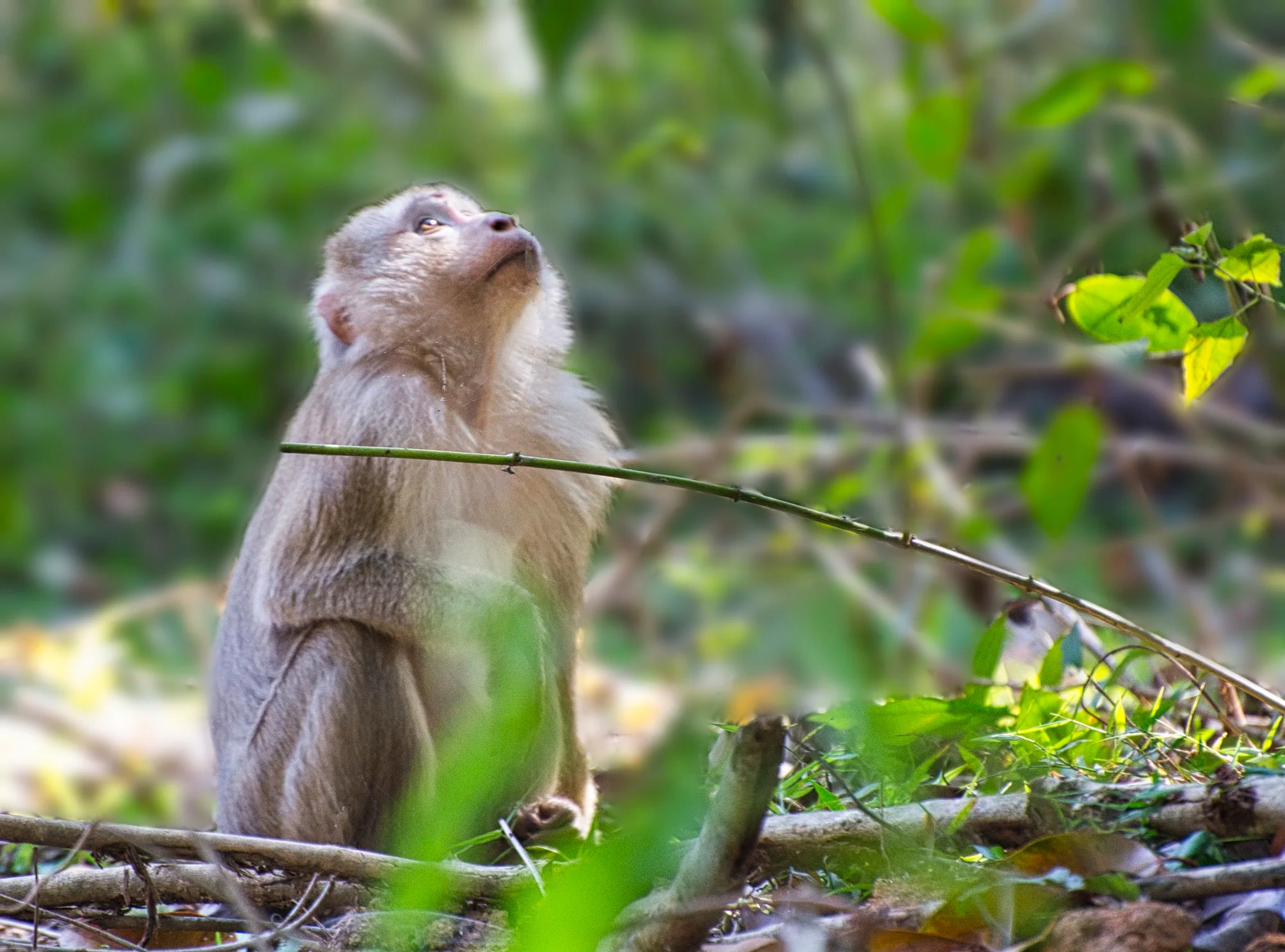
Macaques (monkeys) roam the forests and hang from the trees along the road.

Human Wildlife

Finally, there is the human wildlife. The down side of the park is that it very popular with the locals and Bangkok is very close by.
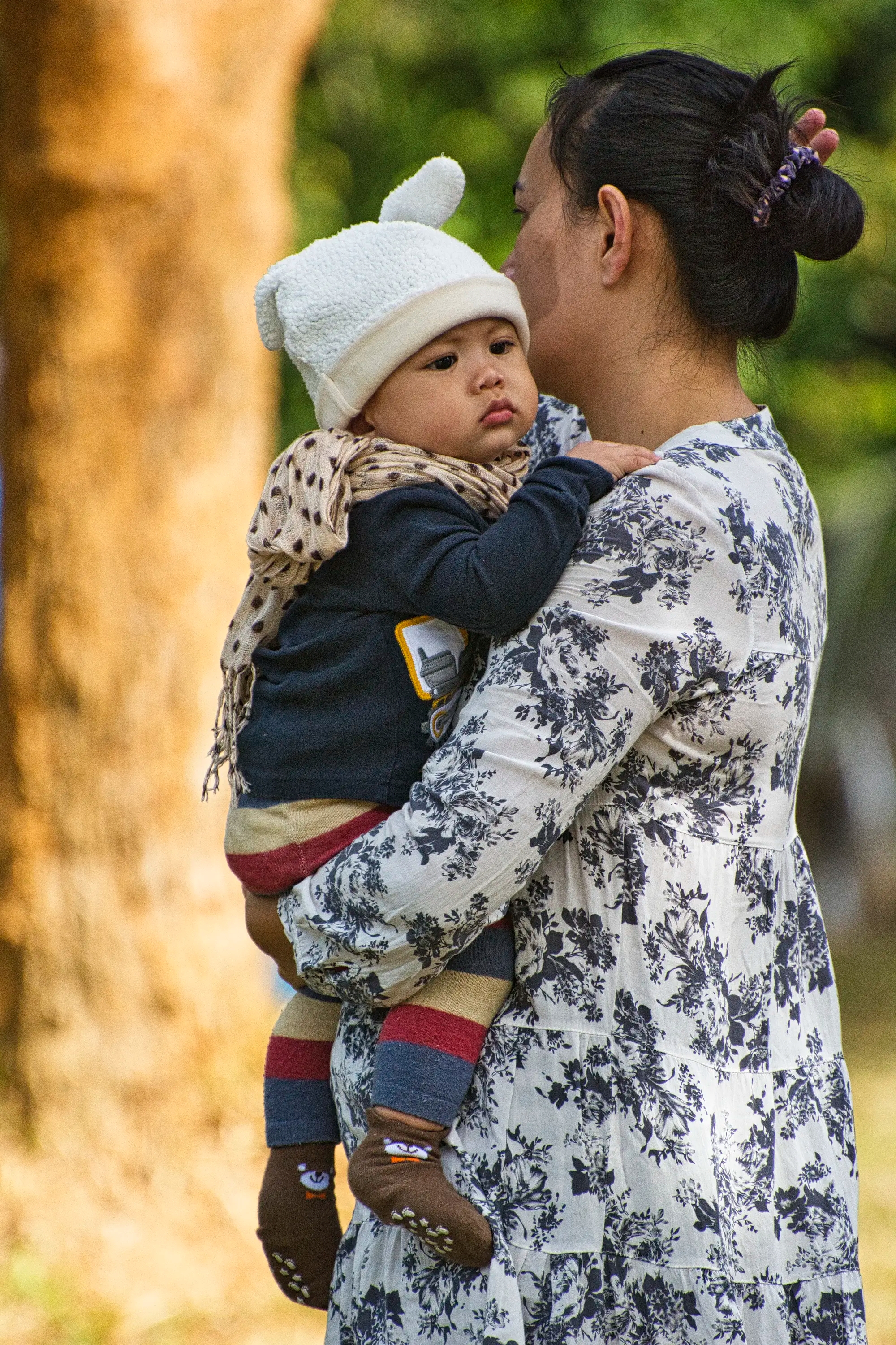
We admired this cute but overdressed Thai baby. It was not that cold.
Vegetation
The Jungle Vine African dream herb is used as a topical ointment against jaundice, toothache, and ulcers.
This is a Baing, the same tree that grows on top of the famous Angkor Wat temples.
Trail to Nong Phak Chi Watching Tower

On December 30th, we had beautiful lighting as we hiked Trail B.

At end of Trail B, we reached the Nong Phak Chi Watching Tower. Unfortunately, we saw no wildlife.
Birdlife
We went to Mo Singto reservoir, Pa Giray Mai campsite, the Old Golf Course, Khao Khieo Road, the TAT Pond, and HQ/Bonsong Lekgul Camp.
On the km 33 trail 3, we saw the Siamese Fireback twice (Dec 30 and 31). On Kong Kaew Trail (Jan 1) we saw the Scaly-breasted Partridge. and the Red-wattled lapwing.
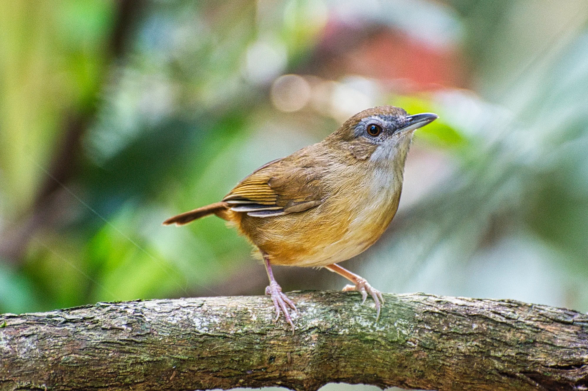
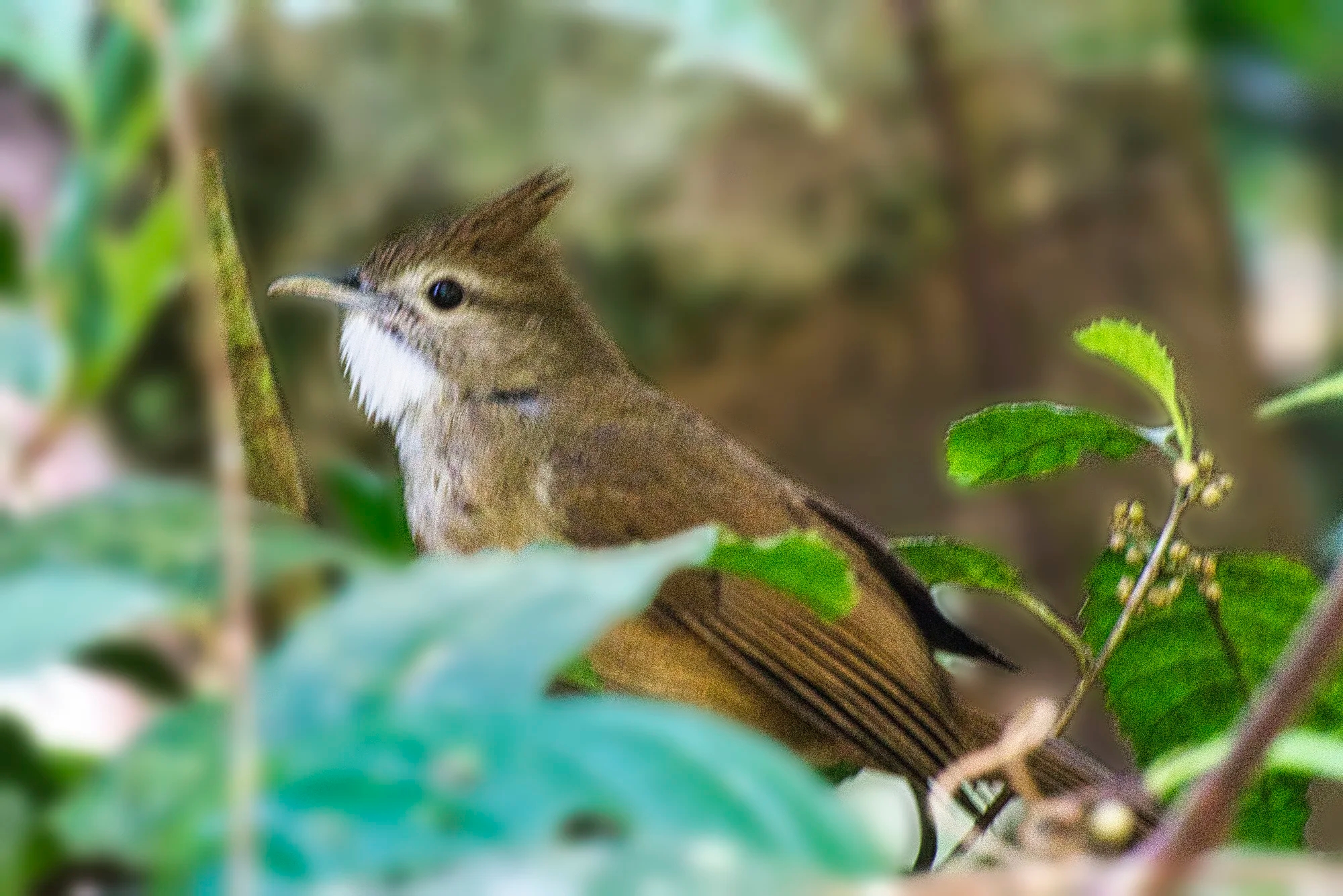
In Pha Kluai Mai area, we saw a couple of Abbott’s Babblers. This sandy-brown bird has faint orange-tan tones on the sides and grey eye rings.
Old World babblers are tropical birds common to Southeast Asia and the Indian subcontinent.

We saw the Hainan Blue Flycatcher, which is common to SE Asia and China (Hainan is an island in China). The male is dazzling sapphire-blue with a grey-white belly.
Haew Su Wat Waterfall

The next morning we drove to Haew Su Wat Waterfall (G4.6), just north of Khao Yai NP on the road past Lam Ta Khong Campground.
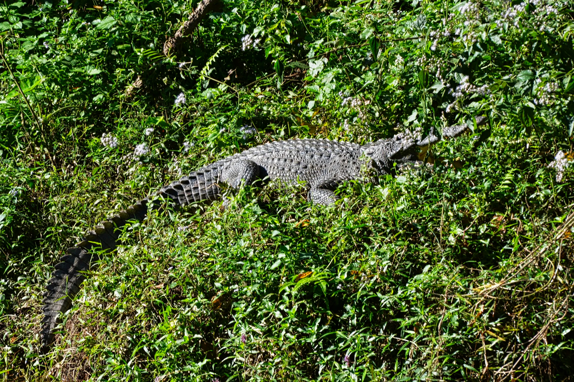
We spotted this crocodile just 17 minutes from Haew Su Wat Waterfall.
Ayutthaya
After checking out Trail A, we drove 2 hrs to Ayutthaya via Highways 2090, 2, 1, and 309. In Ayutthaya province, Daniele saw 60 species over 2 days.
Baan Tebpitak Hotel
We stayed at the very nice Baan Tebpitak (G4.7) on 15/15 Pathan Road Soi 3.
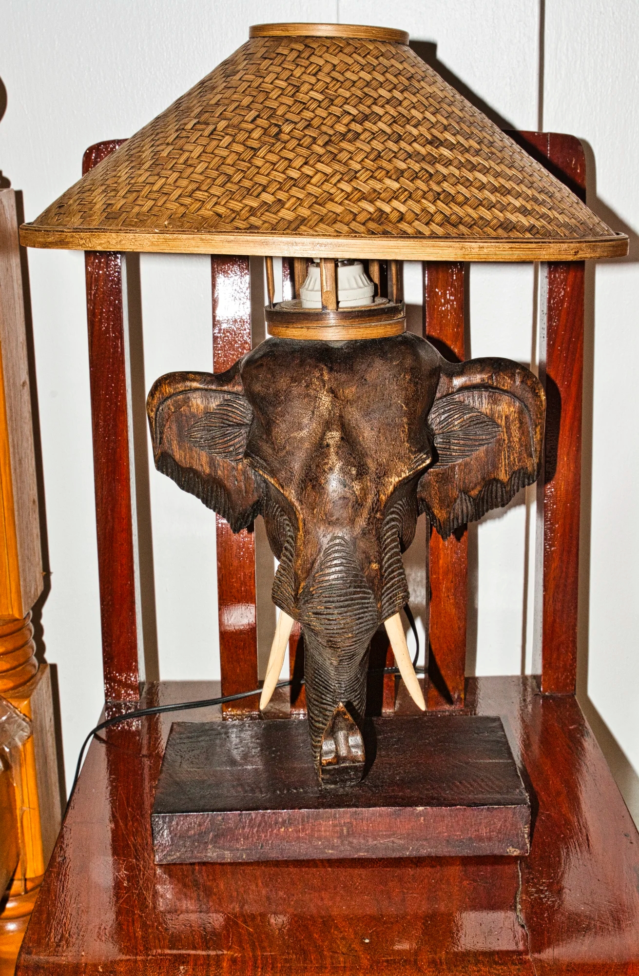
Unfortunately, we did not see any wild elephants in Khao Yai NP. But we did spot this elephant lamp in our hotel room.

The owners are Lino (whose parents were from Ticino and Zurich, Switzerland) and Rita (whose grandparents were from Thailand and Hainan, China).
Wat Na Phra Meru Rachikaram
Wat Na Phra Meru Rachikaram (G4.7), aka Wat Na Phramen, was constructed around 1503. It may have been a cremation site for nobility or the royal family during the Ayutthaya period. This was the only temple not destroyed by the Burmese as it was outside of the old city.

The pediment shows Vishnu riding on Garuda. In the lower part is Rahu, the demon who causes eclipses. Vishnu is considered the symbol of the King.

The small Viharn Noi or Wihan Khian (the Hall of Paintings) was constructed in 1838. The Buddha image Phra Khantharat or Khanthararaj was carved in green stone in the Gupta style (4th to 6th century). Note the sensuous modeling of the face and body, the subtle expression, and the harmonious proportions.
Both hands of the image rest on the knees, which is different from the postures known in Thailand, where only the right hand points down to call on the Earth goddess to acknowledge Buddha’s good deeds and defend him from the demon Meru.

We were surprised to see tourists riding an elephant.
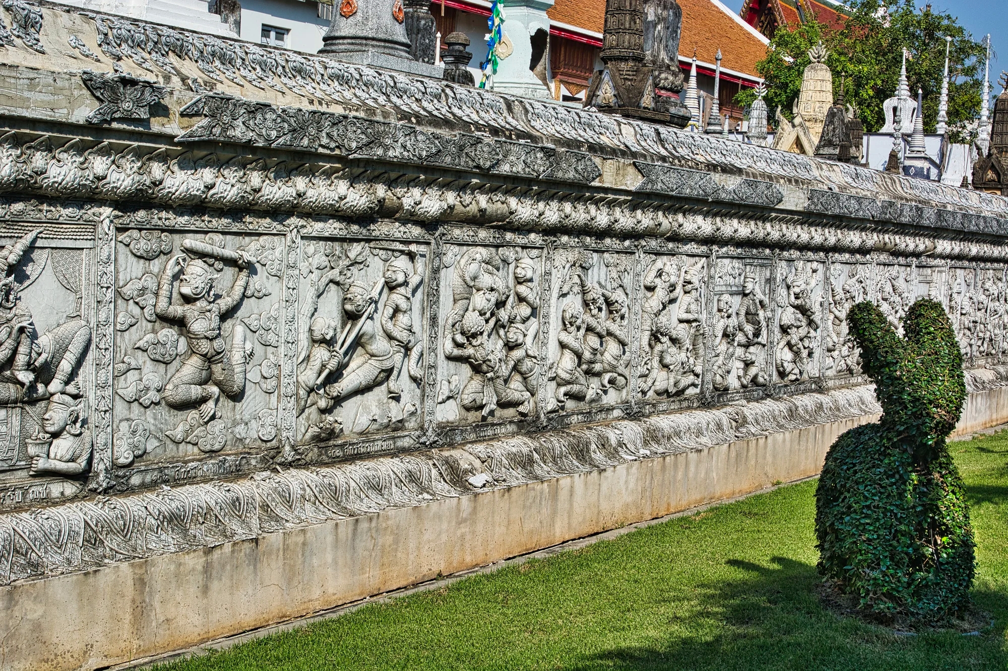
The walls around the viharn were elaborately carved.

The wall frieze appears to be depicting scenes from the Ramayana.
Making Merit

This Buddha head, is speckled with gold leaf, which is one form of merit making. One way for lay people to make merit is to buy flowers or thin wafers of gold leaf and applying them to statues of the Buddha.

Here, Thais are making merit by placing flowers on Buddha image – purple Dendrobium Noble orchids and yellow marigolds. Marigolds have been part of Indian culture for centuries. These bright flowers are associated with Lakshmi, the goddess of wealth and prosperity. Lakshmi is the consort of Vishnu.

Other people light incense. Indian ceremonies and culture were adopted during the Indianization of SE Asia period.

This cute young girl was offering incense.
We ate at Ban Som Tom restaurant.
Bangkok
We stayed at Feung Nakorn hotel in the old city. Our time in Bangkok was described in five posts starting with the portal post Thailand – Why do People Hate Bangkok?
Other Posts You May Like
The following posts provide sightseeing information in nearby places:
Custom Maps and Facts to Plan your Itinerary
TH is the ISO Country Code for Thailand;
THB is the ISO Currency Code for Thai Bahts.
THB 100 = CAD 3.84, EUR 2.62, GBP 2.27, USD 2.81
TH Best Places to See Nature Map
B2A Thailand Birding Trip Report, Birding 2 Asia, 2019 382 species
Doi Ang Khang Birding, North Thailand Birding 2011
Laem Pak Bia & Pak Thale, Nick Upton, Thai Birding 2022
North Thailand Doi Ang Khang, Dominic Le Croissette 2006
Thaton Birding, North Thailand Birding 2011
Top 25 Sought After Birds, North Thailand Birding 2011
When is the Best Time to Visit?
Based on average maximum temperatures from NOAA:
| Month | Season | Max Temp | Rain Days |
| Nov-Feb | Cool | 30 to 33°C | Nov = 4 |
| Mar-May | Hot | 34 to 35°C | 5 to 13 |
| Jun-Oct | Rainy | 31 to 33°C | 9 to 17 |
The data supports the fact that Nov-Feb is the best season to visit. The reality is that it is always hot – this is a tropical country. The only time to avoid the north is the burning season from March to April when the air particulates reach dangerous levels.
Is Thailand Safe?
According to the Numbeo Safety Index, Thailand is a very safe country.


You must be logged in to post a comment.