Ireland offers some of the best sights including castle ruins, dramatic cliffs, and golden sand beaches. But the end result is that there are too many tourists in high season.
Are there any hidden gems in Ireland? If there are so many Europeans and locals who travel here, is there anywhere that has not been previously been discovered?
Read on to find out alternatives to the overcrowded famous sights — decide which places should you visit as well as get links to our custom Google maps and itinerary planning information.
Our recommendations are not influenced by affiliate links – we have none. Our content and advice is derived from our personal experience and knowledge based on living in Europe for seven years.
What is a Hidden Gem?
One Irish woman on social media wrote “No hidden gems? What on earth are you on about. There [are] multiple things of interest even in my small village with no tourists. I can go for a walk in woods and mountains and pass nobody. The whole of Ireland has something of interest every few kilometres“.
However, in our opinion, a hidden gem is not a place with no people. A tourist trap is not a place with lots of people. Let us define the meaning of tourist trap and hidden gem.
Tourist Trap
A tourist trap is a place that attracts and exploits tourists. These places are heavily promoted to extract money from tourists. They are overpriced and do not provide good value. Examples are Fisherman’s Wharf in San Francisco and tuk-tuk rides in Thailand that detour to a shop hoping for sales.
St John Gogarty Bar, Dublin
Examples in Ireland are Kissing the Blarney Stone at Blarney Castle; overpriced pubs in Temple Bar area of Dublin; and the €20 fee to see the Book of Kells for 20 minutes before you are kicked out. You can’t really have a good look because of the crowds.
On the other hand, a tourist trap is not a place that has many tourists. Florence and Rome, where we lived for four years, are not tourist traps just because there are lots of tourists during the high season. These are legitimate, famous and historic cities.
Hidden Gem
A hidden gem is a place that is not well known. But having no people is not enough. It has to have something exceptional or special. The hill towns in Italy are hidden gems.
Generally, I feel other tourists want to see hidden gems that could be alternatives to the well known, over touristed places. For instance, there are many places to see cliffs and coastlines that are beautiful but not named Moher.
What do you mean by Hidden Gem?
Visitors to Ireland should seek out places that are unique to Ireland, that are Quintessential Ireland. This is especially true when you are visiting for less than two weeks.
On the other hand, what each person considers unique or special may differ. We lived in Rome for 4 years, London for 3 years and travelled around the world for 3 years. We have very different ideas of what is unique or special than other people who have not travelled as much. Thanks to our experiences, we love art and architecture. Most tourists just get templed out after a couple of hours. Many tourists often visit places solely due to “name recognition”.
Giant’s Causeway Trail, Northern Ireland
We have hiked from the Rockies to the Himalayas. So a pleasant walk in a forest with no views or other special feature would not be exciting. On the other hand, we felt the Giants Causeway Trail (not the over-touristy part) was spectacular. Some other people we heard said it was boring. Wow! Chacun a son propre goût!
What are the Hidden Gems in Ireland?
Do you want to get off the tourist path and into authentic Ireland? If you find the number of tourists oppressive then there are a couple of things you can do. The first is to not travel in the summer high season. The second is to seek out less visited places. Most of these places are not really hidden but are just less visited.
I have divided the suggestion by categories that are based on the features that comprise Quintessential Ireland.
Irish Cliffs
If you want to see Irish cliffs but are turned off by the overpriced entry fees and number of tourists at the Cliffs of Moher (G4.7 €12 per person) then you can go to the following:
Cliffs of Kerry, Ring of Skellig,
Slieve League (G4.9) – free: supposedly great but we were fogged out!
As you can see, all of these places are rated as high or higher by all people (locals and tourists) according to the Google Map ratings. Most people go to Cliffs of Moher due to name recognition. You will not miss anything if you skip Moher in favour of one or more of the above places. Rome would be an essential must-see in Italy – Cliffs of Moher, not so much.
Irish Coastlines
Cloughmore View, Achill Island
If you want to see Irish coastlines but are turned off by over-touristed Killarney and Ring of Kerry or ROK (G4.7) then you can go to the following:
Real Ring of Kerry — Kenmore to Ring of Skellig – provides better views than the ROK such as Derrynane Beach (G4.8), Cliffs of Kerry (G4.8), Geokaun Mountain (G4.8)
Galway to Gurteen Bay (G4.8) and Sky Road Viewpoints (G4.8): provides dual crescent beaches, coastal views, pine island view of the Connemara mountains
Amazing Achill Island – drive the west coast along sheep strewn Highway L1405 to Cloughmore Viewpoint (G4.8), Keel Beach (G4.8) and awesome Keem Bay (G4.9)
Are you turned off by cars parked on Benone Beach (G4.8) or high “parking” fees at Port Stewart Beach (£6.20 per person)? Then try these usually empty and free beaches:
Gurteen Bay (G4.9): great picnic place with dual crescent beaches
Keem Beach (G4.9): beautiful turquoise water laps a golden crescent beach
Cullenamore Beach (G4.8): beautiful, expansive beach near Sligo with no people
Portacloy Beach (G4.9): beautiful turquoise water laps a golden beach with no people
If you want to see Irish castles and archeological sites but are turned off by over-touristed and expensive Blarney Castle (G4.7, €22) and Bunratty Castle (G4.6, €17), then you can go to the following:
Trim Castle (G4.7) – OPW: one of the best castles to learn about the Normans and the significance of the date 1066
Bective Abbey (G4.7) – free: great picnic spot on verdant grounds of a destroyed abbey
Cahir Castle (G4.6) – OPW: good views from the outside
Hore Abbey (G4.6) – free, VG views of Rock of Cashel
The following sites are really well known rather than hidden. However, we did not find them that overcrowded in May. They are definitely worthwhile visiting.
Glendalough Site (G4.7) – OPW: one of the best sites of a medieval monastic village
Rock of Cashel Site (G4.5), Viewpoints (G4.7) – OPW: one of the most scenic places for photography
Kilkenny Castle (G4.6) – OPW: built in the medieval era but its most memorable hall was the Picture Gallery built in the 1860s
Dunluce Castle (G4.6) – £6: one of the most atmospheric castles on top of a cliff – actually it is very well known
OPW (Office of Public Works) is the government department that runs Heritage Ireland sites. Each site costs €8 or an annual Heritage Card pass costs €40 for all sites for as many times as you want. If you plan to visit 5 of their sites then the card is worthwhile. Many of the sites include free guided tour and the OPW interpreters were all superb and definitely worthwhile.
Irish Quaint Villages
Purple and Red Buildings, Kinsale
If you want to see typical Irish life then bypass over-touristed Killarney, Cork, Dublin, et al. Instead find quaint villages like:
N.B: Google Maps rates points of interest, accommodation, and restaurants; but it does not rate towns or cities .
Travel Guidelines
Here are some basic principles to follow when you travel in Ireland.
Give up trying to “see everything”. You cannot.
Some places may be better to visit than others but getting from A to B is just as beautiful as destination B.
Tour one concise geographic region in each week.
Meet the people — one of the most important “destinations”.
Use 75 km per hour to calculate average (not actual) driving time. Ignore Google travel time based on ridiculous 100 kph speed limits on Irish two-lane roads not properly built for that speed.
Avoid travelling to a new city every day. Too many tourists think they can drive all day and then see their destination as well.
You need to factor in travel, sightseeing, and activity time.
Quintessential Ireland
White Rocks, Antrim
We like to experience the things that make Ireland unique. Quintessential Ireland is white sheep on green farmland, golden sand beaches, rugged coastlines and craggy cliffs, National Trust (OPW) castles (not tourist traps), glorious viewpoints, and hiking. In the next post we describe what we feel is Quintessential Ireland and what places are examples of where to see it. Our itineraries are based on the features of Quintessential Ireland.
Yes there are hidden gems that are less visited places. These places are as highly rated as the so called famous places. The nature and scenery of Ireland is beautiful.
If you want to have a less tourist infested trip in the summer then do our Best Places for Two Weeks in North Ireland itinerary. This is an action-packed itinerary where you can get away from the crowds of tourists who head to sites that are famous because of name recognition. The places are all highly rated by the people as shown by the high Google Map Ratings. Remember, the most important “destination” is meeting the people.
Do you want more information? Then subscribe for free.
What things fascinate you? How long is your trip? What questions do you have?
If you have less time simply quit the northern itinerary at Ramelton, Donegal or Sligo and return to Trim, departure point for the Dublin airport. If you have a few more days, you can easily add days in the Dublin area. Here is the detailed description of the best itinerary to get away from the crowds and find your hidden gems!
If you have less time simply quit the southwest itinerary at Kinsale, Kenmare or Galway and return to Trim, departure point for the Dublin airport. If you have more than 14 days, add time for the points of interest mentioned in our itineraries.
Here is the detailed description of the best itinerary for Southwest Ireland including hidden gems!
Is it worth visiting the Coromandel peninsula? Many tourists visit the idyllic Cathedral Cove but not anywhere else. Coromandel is Quintessential New Zealand with countryside, coastlines, and minimal commercialization.
Read on to find out how to make the most of your time —decide which places should you visit, see which photos fascinate you, as well as get links to our custom Google maps and itinerary planning information.
Our recommendations are not influenced by affiliate links – we have none. Our itineraries, photos, and advice are based on having stayed in New Zealand for a total of six months over three trips. We are avid hikers, nature lovers and photographers. NZ is one of our favourite destinations.
Coromandel Peninsula
On our second trip to NZ, we revisited our Kiwi friends in Wellington. Rosemary and Dave told us to visit places we missed in the Coromandel Peninsula on our first trip. We also went to the Coromandel a third time, accompanying our son on his bird watching vacation. The last two times we had a rental car.
You cannot say Coromandel is off the beaten track as it is close to Auckland. But we mainly met Kiwis wherever we went.
Thames Area
The first stops for birders are the Whangamarino Wetland (just east of Highway 1) and the Pukorokoro Shorebird Centre (G4.6) on the East Coast Road along the waters of the Firth of Thames (Hauraki Gulf). NZ is probably overlooked as a prime bird watching country. But it has many endemic birds. Daniele saw 145 species in 23 days.
Thames
Brian Boru Hotel, Thames, Coromandel
Coromandel Peninsula only became populated in 1867 when gold was discovered. Within 3 years, Thames had a population of 20,000 and was twice the size of Auckland! The population is 6000 today. Some Victorian buildings remain such as the Brian Boru Hotel. Built in 1867 (and rebuilt in 1905), it has a beautiful wrap-around verandah and second story balcony. The hotel was bought by an Irishman from Cork and renamed after a 10th century Irish king, Brian Boru.
Huia Print, Rei Hamon, Thames
Thames was a good place for lunch, coffee and crafts. We went to the now defunct Rei Hamon Gallery that had paintings, prints, kauri gum, kauri tables, and other items. We loved the incredible pointillist prints that reminded us of impressionist art. We mailed three limited edition prints home.
Huia Print Closeup, Rei Hamon, Thames, Coromandel
The huia (HOO-ya) is a species of endemic NZ wattlebird. It used its beak to chisel away at rotting wood to get at insects. The bird was regarded by Māori as sacred but it went extinct in 1907.
Rei Hamon is a famous Maori landscape artist and lithographer who died in 2008. He utilized a self-taught style of pointillism. You can visit the Hamon Art website to see his other prints and learn about his environmental activism.
Waiomu
We met 69 year old Marjorie Gallant, who warmly welcomed us to Waiomu (15 km, 17 mins. north of Thames). Marjorie was very interested in Maori culture. She had learned their language and was active in getting the Maori language taught.
Marjorie was a very positive person and an active hiker. After lunch she was eager for us to visit her area. So we hiked the one-hour Pohue Stream Track. At the beginning we saw homes made out of tram cars disposed by the City of Auckland. At the end of the trail, views opened up of the Hauraki Gulf.
Rapaura Water Gardens
Address: 586 Tapu-Coroglen Rd Drive: 27 km, 34 min from Thames Open: 09:00 – 17:00h daily Entry Fee: Oct-Apr NZD 15; Family NZD 36; May-Sep NZD 10
Touch a Flower Sign, Rapaura Water Gardens
Rosemary told us about Rapaura Water Gardens (G4.5) along the Tapu Coroglen Road. Rosemary particularly liked the signs with cute philosophical sayings.
Rapaura Water Gardens
We meandered around beautiful lily ponds with tree ferns and native flowers.
Hydrangea, Rapaura Water Gardens
There were also a picnic area, tea house, and “exotic flowers” (for NZ) like hydrangeas. We spent two hours exploring the gardens. Another place for those interested in flowers is Ngatea Water Gardens (G4.5), west of Thames.
Square Kauri
Drive: 30 km, 39 min from Thames
Kauri Tree, Coromandel Forest
The Square Kauri (G4.5) is 3 km further east on the Tapu Coroglen Road. It is located on a short 150 m 20 min. track. Actually, it is the upper part of the tree that looks square. These trees live for 600 or even 1000 years.
At one point, the Coromandel had been covered with kauri trees. Coromandel is named after the HMS Coromandel naval ship that visited in 1820 to trade for kauri. Most of the kauri has now been logged except for some forests that are now protected.
The Tapu Coroglen Road is a 28 km, 49 min. short-cut from Tapu through the isolated Coromandel Forest to Coroglen Tavern (G4.6) at the junction of Highway 25, which heads north to the Whitianga Area. Use this road if you do not plan to go to Cape Colville.
Possum Portrait, Coromandel Forest
Common Brushtail Possums are marsupials that were first imported from Western Australia in 1837 to establish a fur trade. Possums are considered pests in NZ. Unfortunately, there are not enough predators to control them. They eat native birds and native vegetation, especially pohutukawa and rata trees. They are bad for farmers as they spread bovine tuberculosis. There are extermination projects and by 2009 the population of 60 million was reduced by 50%.
Cape Colville Area
Tapu Area, Coromandel Coast Road
The drive north along Highway 25 was not spectacular as expansive views of water is just not that photogenic. Every once in a while there was a nice viewpoint. At a volcanic plug 16 km north of Tapu, there was a pull off with a dramatic valley (it’s called Coastal Lookout on Google Maps).
A higher-rated vista is the Manaia Road Lookout (G4.7), 18 km (21 mins.) from Tapu. It had the best views of the day. Beyond rolling farmland, the beautiful green ocean is dotted with islands. It is headlands, indentations and islands that make a view photogenic.
Past the town of Coromandel (35 km, 38 mins. from Tapu), we drove to the Kennedy Bay Road parking (42 km, 52 mins. from Tapu). Here we hiked the short uphill Tokatea Lookout Track (G4.5). This 600 m 30 min. trail leads to a view of the mainly forested Coromandel Harbour.
Cape Colville Highway, Coromandel
The views improved along Colville Road heading north after the town of Coromandel.
Port Jackson
Port Jackson Viewpoint, Coromandel
The best view was from a hill overlooking Port Jackson (57 km 1:30h from Coromandel).. There is a government campground here (NZD 10 per adult) .
I have pinned where I believe we took these photographs on our NZ Coromandel Map.
Fletcher Bay, Coastal Track, Coromandel
A middle section of track above Shag Bay – shown with black dashes on the map above – is now closed as it was damaged by landslides. This has severed the trail between Fletcher Bay and Stony Bay.
Fletcher Bay Coastal Track, Coromandel
But the best part of the trail was the northern section from Fletcher Bay to Sugar Loaf.
Sugar Loaf, Fletcher Bay Coastal Track, Coromandel
Whitianga Area
Whitianga is a resort town along the coast. If you don’t have a car there is a ferry that crosses the harbour and you can walk to nearby sights. Whitianga is the place to find hotels, B&Bs and restaurants. We always camped at campgrounds close to the main tourist sights.
Shakespeare Cliff Lookout
Distance: 0.2 km loop 3 mins.
Cooks & Lonely Bay Beaches, Coromandel
We drove to Cooks Beach and walked an easy loop trail to magnificent vistas at Shakespeare Cliff Lookout (G4.8). It is a quintessential coastal view with turquoise water and golden beaches.
Lonely Bay Beach, Coromandel
Right below us was the hidden crescent Lonely Bay Beach with no people. In the distance is Cooks Beach (G4.8). Bird watchers should look for tui and kereru birds. Everyone should look for Pohutukawa trees. Farming and possums have reduced pohutukawa forests by a whopping 90%.
Pohutukawa Trees, Little Manly Beach
Pohutukawa trees have brilliant crimson flowers. This tree flowers from November to January with peak blooming from mid to late December. Thanks to the timing and the red flowers, it is known in NZ as the Christmas tree.
Regarded as a chiefly tree by Māori, it remains important in Kiwi culture as a symbol of strength and beauty. It is mainly found in the coastal regions of North Island; p.s. this photo was taken further north in Whangaparaoa.
Cathedral Cove
Cathedral Cove Viewpoint, Coromandel
We drove on rural roads to Hahei Beach where we camped on previous trips. Cathedral Cove (G4.7) has the most foreigners of any place in Coromandel but it is very worth visiting. There is a nice vista of the coast from the viewing platform (G4.3) at the trailhead. But you do not see the famous beach with its rock formations. Check the Cathedral Cove Walk post for the status of the damage caused by Cyclone Gabrielle (2023).
Cathedral Cove “Sunset”, Coromandel
These beautiful “sunset photos” were taken near the platform — but it is not sunset at all. You can see the sun well above the horizon of the underexposed coastline. We walked 10 mins to Gemstone Bay (G4.5), which is rocky and not photogenic.
Cathedral Cove Cove Viewpoint, Coromandel
After another 30 mins, we reached the top of a hill with fantastic coastal views. The trail descends over grass and tussock covered hills with grazing sheep. Rugged islands and outcroppings are scattered over the turquoise water.
Cathedral Cove Cliffs, Coromandel
After 18 mins. we reached the huge cliff the overlooks the coves.
Cathedral Cove Cute Stack, Coromandel
We went down the stairs to a pink-tinted beach with an unusual rock formation or stack rock
Cathedral Cove Cave & Te Hoho, Coromandel
The tide was low enough to pass through the “Cathedral Cave” to Cathedral Cove Beach (G4.7).
Cathedral Cove Beach, Coromandel
The secluded, sandy beach came with sleeping tourist and gnarled trees. Pohutukawa trees line the paths leading to Cathedral Cove.
Cathedral Cove, Coromandel
Towering overhead was a large sea stack, Te Hoho (G4.8), which means roaming horse in Maori. We loved the reflection of Te Hoho in the water.
Hot Water Beach
Campground Cabin, Hot Water Beach
We stayed at the campground near Hot Water Beach (G4.5), which is powered by hot springs under the sand! On our last visit we took a cabin, which are not only less expensive than hotels but are fully equipped to prepare your own meals. It is an alternative to camping and expensive camper vans.
Children Digging Hot Pools , Hot Water Beach
You need to go from two hours before to two hours after low tide — else the hot springs are under the ocean! On our first trip only a few local children were on the beach. It was basically deserted.
Digging Hot Pools, Hot Water Beach
On our last trip we brought our own child to dig out our hot pool. The campground provided plastic shovels.
Digging Hot Pools, Hot Water Beach
Unlike our first trip, there was a gaggle of tourists. Nevertheless, the experience is incredible.
Tairua
Tairua Harbour, Coromandel
Tairua (G4.5) is a classic resort further south with lots of yachts.
Paku Track Viewpoint, Tairua, Coromandel
We went birding on the Paku Lookout Track. There was a beautiful view of the river hitting the ocean with the town of Pauanui on a peninsula and mountains in the distance. Pauanui is Maori for big pāua or abalone. Pauanui is across from Tairua.
Karangahake Gorge
Talisman Tea House, Karangahake Gorge, Coromandel
Karangahake Gorge provides a dramatic walkway in a former gold mining area. The only photo we have is the Talisman Tearoom, which is now called the Talisman Café. This reflects the change in NZ from tea drinking to coffee culture. In fact, don’t even look for drip coffee. Most cafés only serve espresso-based drinks. Kiwis also claim to be inventors of flat white, even if Aussies disagree.
Final Comments on this Itinerary
Cathedral Cove, Coromandel
This Coromandel itinerary is frequently overlooked by visitors to NZ but it is definitely worth visiting. It is a more laid back destination with fewer visitors in the off-season. The places included in the itinerary are all highly rated by the people as shown by their Google Map Ratings.
Do you want more information? Then subscribe for free.
What things fascinate you? How long is your trip? What questions do you have?
Our own NZ Planning Maps include all the possible Points of Interest pinned. You can create you own custom maps using the Google My Mapsapp.
If you have limited time then you should be spending it solely on the best sights. All of our recommendations are appended with the rating from Google Maps, which is based on everyone’s opinions not just tourists. We consider a score of 4 to 4.39 to be Very Good; 4.4 to 5 to be Excellent.
Coromandel is one of the warmer places in NZ even in the “winter” months, which we would call spring.
Here are the average high temperatures and monthly rainfall at Coromandel by season. Jun-Aug is the coolest at 14.4°C and rainiest (136.7 mm 5.4″). Even so, that is much less rain than in the South Island or many other countries.
Season
Mean High Temp
Avg Rain per Month
Dec-Mar
20.9°C 69.6°F
89.5 mm 3.5″
Apr-May
18.0°C 64.3°F
114.5 mm 4.5″
Jun-Aug
14.4°C 57.9°F
136.7 mm 5.4″
Sep-Nov
16.4°C 61.5°F
93.3 mm 3.7″
Purpose of Your Trip
What is the purpose of your trip? What are your interests? This itinerary was based on the features that make New Zealand unique…
DOC = Department of Conservation = Parks NZ Kiwi = New Zealander, or a nocturnal flightless bird NP = National Park NZ= New Zealand; NZD = New Zealand Dollar; NI = North Island SI = South Island
Is it worth visiting Tongariro, Taumarunui, and Waitomo regions? Tongariro is worthwhile but you need to do a hiking track to see the most spectacular views of turquoise lakes and volcanoes. Taumarunui is Quintessential New Zealand with white sheep on rolling green hills. Seeing glowworms shining like stars in the dark is awe inspiring. We liked Waitomo Caves decades ago before over-tourism struck.
Read on to find out how to make the most of your time —decide which places should you visit, see which photos fascinate you, as well as get links to our custom Google maps and itinerary planning information.
Our recommendations are not influenced by affiliate links – we have none. Our itineraries, photos, and advice are based on having stayed in New Zealand for a total of six months over three trips. We are avid hikers, nature lovers and photographers. NZ is one of our favourite destinations.
Where to Stay
Pitt-Brown Farm, Waikato
For Waitomo you can day trip from Rotorua or else look for a farm stay in that area. For Tongariro, you stay in huts if you are trekking, Whakapapa village inside the park, or a farm stay in the Taumarunui region.
Waitomo
Pitt-Brown Family, Waikato
We stayed with Jean and Brian at the Pitts-Brown Farm in the Waitomo area. They were hosts for SERVAS, an organization founded in 1948 by Displaced Persons having no country as a result of World War II. They wanted to end war and prejudice by getting travellers to meet people of other cultures and countries. SERVAS allows vetted members to stay at a host for free for two nights, longer if the hosts invite you to stay. We served as hosts when we lived in Rome for four years.
Sheep Shearing, Pitts-Brown Farm
After breakfast, Jean left for her Waitomo Caves school job. Brian walked to the shearing shed to dag sheep — shearing their clotty rumps before bring them to market. Contrary to popular opinion, sheep are not stupid. They detest dagging and all of them stayed as far away on the other side of the barn. Brian decided I should be initiated by shearing two sheep. Trust me, it is not easy. Sheep are quite heavy. You have to lift them by the the neck and put them on their back. Then you have to hold their neck with your feet while you shear their body. The sheep knew I was a newbie and fought to get free. Here Brian showed how easily it is using old technology sheers!
Pitt-Brown Farm, Waikato
After lunch Brian took us for a drive on the Marakopa and Hauturu Roads with views of limestone outcroppings and lush pastures. Later, we took 4 year-old Allen up the hill to feed the horses some bread. Allen was a very talkative and excitable kid who got over his fear of a huge horse towering over him.
Waitomo Caves
There are many tour options to choose from.
Tour
Fee
Length
Glowworm Caves
NZD 75
45 minutes
Ruakuri Cave
NZD 107
1.5 hrs
Glowworm & Ruakuri Caves
NZD 158
2.5 hrs
Ruakuri & Aranui Caves
NZD 158
2.5 hrs
Glowworm & Aranui Caves
NZD 116
2 hrs
Waitomo CavesGetting There
From Rotorua, you need to head north on Highway 5 then west on Highway 28 to Putāruru and Otorohanga. Then take Highway 3 south to Highway 37 and Waitomo.
Ruakuri Cave
Jean drove us to the Waitomo Caves. We were surprised by the height and width of the Ruakuri Caves. The most interesting formations was the Bridal Chamber. The 40 minute Ruakuri Tour was spoiled by a bored guide. We considered the tour was overpriced way back then.
Stalactites, Waitomo Caves
Aranui Cave
The 40 minute tour of the smaller Aranui Cave was most enjoyable. At the narrow slit entrance we saw the ugly ones, huge but harmless six inch long insects called wetas. Weta (Māori name) is a giant flightless cricket and one of the heaviest insects in the world.
Straw Tubes, Waitomo Caves
The brownish reds are caused by iron oxide. The straw tubes take 20 to 30 years to grow one inch! We passed the Two Apostles (columns) into the Temple of Peace with two doves above the doorway.
We walked through stalactite-encrusted corridors. Stalactites hang from the ceilings of caves. The most common type of stalactite occurs in limestone caves. Limestone is made from millions of years of compressed sea shells (calcium carbonate). Limestone rock is dissolvable by water! Water drips through the cave ceiling and calcium carbonate precipitates from the mineralized water solution to form rock icicles.
Stalactite Scene, Waitomo Caves
A stalagmite is an upward-growing mound of mineral deposits that have precipitated from water dripping onto the floor and ledges of a cave. One great formation looks like two Maori women, one holding a shawl.
Tiny terraces of water reflect the crystal columns. The largest (18 foot) stalactite hangs from the ceiling. Snow White and the six dwarves appear. The seventh dwarf is a spitting image of Grumpy with a big nose and pot belly. An alabaster column is pure white. Finally there was the delicately lit eastern scene of Rebecca at the well. It is the play of light and shadow that makes the caves special.
Glowworm Cave
The glowworms are in another cave. We passed a red-lit “tomo” or vertical shaft that appeared bottomless. Waitomo is Maori for stream which flows into the hole in the ground.
Every cave has a cathedral, or highest vault. But this one looked like a nave due to the lighting. A stage is placed here at Christmas due to the great acoustics. We hopped into a boat, which was pulled by overhead wires. We didn’t go far but kept going around and around.
The Arachnocampa Luminosa (glowworm) twinkled like stars on a clear night. It was so awe inspiring that everyone was utterly quiet. Actually the glowworms are segmented transparent larvae. The tail provides a reflector of opaque tissue in which four paired organs glow with a green-blue light. This is a by-product of luciferin reacting with oxygen in the presence of luciferase, an enzyme from digesting its prey! Only 1% of the energy is released as heat, the rest as light!
The glowworms use light to attract flying insects: midges are the main food source. Glowworms are found in cave ceilings and stream banks in a hammock of mucus and silk. From this hammock are suspended fine, strong silk threads called fishing lines covered with droplets of mucus. Oxalic acid paralyzes the insect. The glow worm sucks the fishing line up to eat the insects.
In 6 to 8 weeks they develop into pupa. The fungus gnat is rarely seen as it has a very short lifespan. It has no mouth and only exists to propagate. The lights of female pupae attract the males. The fly lays 120 eggs in groups of 20. The first grub that hatches eats the other 19 as its first meal!
Taumarunui
Farmland Vista, Taumarunui
It’s worthwhile to stay on a farm to appreciate how big a business each one entails. We stayed on a farm in the Taumarunui area with Marion and Dave. Normally, SERVAS hosts do not spend their days with their guests. But in NZ, so many times we were included in their family outings and drove us to the places we wanted to see. Note: we were backpacking on our first trip to NZ.
Farmland Vista, Taumarunui
We went to the top of this hilly 580 acre farm with 3000 sheep — lambs (six month olds) and hoggets (one year olds). The land is divided by fences and each day the sheep are shifted (moved) with the help of sheep dogs. There were spectacular views of volcanoes and mountainous King Country.
Lake Taupo
Lake Taupo fromTe Ponanga Saddle Viewpoint
After breakfast, Dave took us to Tokeanu to see a small thermal area. Then he brought us to the Te Ponanga Saddle Viewpoint (G4.6) along Highway 41.
While not hidden, Te Ponanga is a great viewpoint you could easily drive by. It is 68 km (one hour) south of Huka Falls at the beginning of Highway 47, the road to Tongariro NP.
You may not be so impressed with the view until you learn the significance of what you are seeing. Lake Taupo has an area of 616 km² (238 sq mi). This is larger than Phoenix AZ or San Antonio TX and a bit smaller than Edmonton AB.
While Taupo looks like a lake, it is hard to believe this is the flooded caldera of a massive supervolcano. That means it had an eruption with a Volcanic Explosivity Index (VEI) of 8. You would not have wanted to been here ca. 26,500 years ago when it spewed out over 1000 cubic kilometers (240 cubic miles) of debris. This is the world’s most recent VEI-8 eruption.
Tongariro National Park
Tongariro Background
Te Heu Heu, Maori Commemorative Stamp
The 1980 commemorative stamp issue featured Maori leaders who made a difference. Te Heu Heu Tukino IV was a paramount chief of central North Island. Before his death, he bequeathed three mountain peaks — Tongariro, Ngauruhoe and Ruapehu — to NZ in 1887. This is very significant because these volcanoes became Tongariro National Park.
However, Ngauruhoe and Ruapehu are not separate mountains – they are all part of the Tongariro volcano complex. Ngauruhoe (see below) was used as Mt. Doom in the Lord of the Rings movie (2001).
These are not extinct volcanoes. They are very active. Some of the major eruptions took place in 1869, 1892, 1896, 1897 and 1926. The most recent eruption was in 2012. It damaged Ketetahi Hut and forced the redesign of the Tongariro Alpine Crossing Track.
Tongariro Getting There
From Rotorua you need to drive south on Highway 5 to Huka Falls and Taupo. Then turn northwest on Highway 41 and left (west) onto Highway 47 to your first stop Te Ponanga Saddle Viewpoint (G4.5). From Huka Falls that is 92 km 1:15h.
Tongariro Alpine Crossing Track
Elevation: 1,868 m (6,127 ft) Hut Fees: Oct-Apr NZD 56, May-Oct: NZD 25 Reservations: Required but no fee
Tongariro Crossing Map, Tongariro NP
This is a challenging Elevation Gain of 748 m (2,454 ft) in 8 km. A high level of fitness is required.
Views from the Start
Mt. Tongariro from highway, Tongariro Track
We have been twice to Tongariro. On our third trip to NZ, we did the one-day Mangatepopo Hut to Red Crater hike in the summer with gazillions of not well equipped hikers. Do not go on this hike unless you have proper hiking boots or shoes.
This post mainly describes our first trip to NZ when we did the original Tongariro Alpine Crossing Track as a three-day hut-to-hut trek in April. There was no one else there!
Ketetahi Hut
Lake Rotoaira View from Ketetahi, Tongariro Trek
Elevation: 1,040 m (3,412 ft) Elev Gain: 280 m (919 ft)
From the highway, the trail was steep and enclosed for the first hour until we reached two plateaus with wide open views of Lake Rotoaira and Taupo. The extensive vista was awesome with the lakes painted violet.
View of Ketetahi Hut and Springs below Mt. Tongariro, Tongariro Track
The track opens in tussock and levels out.
Ketetahi Hot Springs, Tongariro Trek
The Ketetahi Springs were steaming ahead. Sulphurous fumes permeated the air. It was dusk so it was too late to explore the area, which is now off limits to hikers. No I did not saturate the reds in these pictures. Our diary stated that the hills were glowing red under the setting sun.
Ketetahi Hut Sunset, Tongariro Trek
There were only two Kiwis from the Air Force at the hut. The usually well-equipped huts had turned off the gas. We made them supper because we had our portable butane stove. They turned back the next day. We were all alone on this trail for three days!
Ice-wrapped Foliage, Tongariro Trek
The next morning was freezing. The track was crunchy with frost. Finally we were having a stretch of clear, crisp weather. We climbed steep switchbacks. The views towards Taupo dominated until we headed into a narrow river valley. Ice crystals were wrapped around green plants. Suddenly Ngauruhoe pierces into view, steam rising from its cone.
Blue Lake
Blue Lake, Tongariro Trek
Elevation: 1,725 m (5,659 ft) Elev Gain: 685 m (2,247 ft)
Two hours into the day came the breathtaking Blue Lake, which fills one of the many former craters.
Emerald Lakes
Emerald Lake, Tongariro Crossing Track
We descended slightly to three Emerald Lakes, probably the highlight of the track.
Snow-fringed Emerald Lake, Tongariro Trek
A half hour walk on the flat, dry central crater brought us to other turquoise lakes.
Emerald Lake, Tongariro Trek
Three states of H2O – steam, snow and water – combine to make any scene photogenic.
Emerald Lake, Tongariro Trek
Emerald Lake, Tongariro Trek
From here the track trudges steeply up scoria (loose lava particles) for 47 mins. There were no switchbacks and lots of stops!
Blue and Emerald Lake Wide Angle, Tongariro Trek
Blue and Emerald Craters were still visible from the top of the Red Crater rim. You can see the ribbon pf our trail in the distance.
Red Crater & Ngauruhoe
Red Crater Scoria Trail, Tongariro Trek
Ngauruhoe, only 2500 years old, dominates the scene. On our first trip, the track traversed the steep incline of the Red Crater. This was the first time we were inside a volcano. This was perilously slippery due to the scoria. If you fell you would roll a long way down! Breathe! The trail now goes on a wide track on the top of the rim.
Red Crater
Red Crater Summer, Current Tongariro Track
Elevation: 1,868 m (6,127 ft) Elev Gain: 143 m (469 ft)
From the top were views of the chasm of Red Crater with its cinder cone partly intact contrasting with the red cliffs.
Red Crater Winter, Original Tongariro Track
We ate lunch on the rim of the Red Crater.
Red Crater & Ngauruhoe, Tongariro Trek
This is a wide angle view of the volcanic landscape.
View NE from Red Crater, Tongariro Trek
The Rangipo Desert area east of the volcano is not a true desert but it is in the rain shadow of the volcanoes.
Why are there so many volcanoes?
Mt. Taranaki, Tongariro Trek
Thanks to a perfectly clear day, we saw Mt. Taranaki (Egmont), about 254 km (158 mi) away!
Why are there so many volcanoes in NZ? Some of the well known volcanoes are Tongariro, Ruapehu, Ngauruhoe, Rangitoto, Taranaki, Tarawera, and the Banks Peninsula.
NZ is on the Pacific Ring of Fire where the Indo-Australian Plate is smashing over (subducting) the Pacific Plate. At this plate juncture, magma rises and volcanoes are formed. Earthquakes are another feature of NZ. The last horrific one registered 6.3 in Christchurch 2011.
South Crater
Trail from Red Crater to South Crater, Tongariro Trek
The best part of the walk was over. The next section is dangerous for all the tourists wearing shoddy footwear like sandals. Tiny balls of scoria act like ball bearings ready to throw you over the edge of the steep descent. There were a few hand rails to help your balance.
Southern Crater, Tongariro Track
The South Crater is a flat caldera with the only easy walking of the track.
Lava Fields, Tongariro Track
If you are heading the other direction, this is where the first steep ascent begins to the South Crater (33 mins).
View from South Crater to Mongetepopo, Tongariro Trek
Soda Spring
Soda Spring, Tongariro Trek
Elevation: 1,400 m (4,593 ft) Elev Loss: 468 m (1,535 ft)
Then we edged over pumice strewn track to Soda Springs (52 mins).
Soda Spring, Tongariro Trek
Mangatepopo Hut
Elevation: 1,120 m (3,674 ft) Elev Loss: 280 m (919 ft)
Lava Alley, Tongariro Track
The going was fairly flat and easy to Mangatepopo Hut (38 mins).
Ngauruhoe, Tongariro Track
If you are heading in the other direction, you get your first views of Ngauruhoe.
Whakapapa Village and Ruepehu
George & Mt Ruapehu, Tongariro Track
The next part of the trail was badly eroded and full of holes and gullies. Sunset was at 17:15 h so we were not able to make it to Whakapapa. We had to camp on lumpy tussock. It was too dark to cook supper. It was very cold overnight — but we managed thanks to our down sleeping bags. At daybreak, there was frost on the ground and again it was too cold to eat.
Mount Ruapehu from highway, Tongariro Track
We slogged through another 1:15 hrs through the tussock on the eroded trail to reach Skotel (G4.1) in the Whakapapa Village. We had a humongous brunch.
From Whakapapa we did the 20 min. Ridge Walk with similar views. This is an alternative if you are not hiking the multi day track. We also climbed Bruce Road to the Silica Springs (1:15 hrs).
Mt Ruapehu from highway, Tongariro Track
Ruapehu is a ski hill.
Planning a Tongariro Hike Today
Today, DOC NZ (Parks NZ) has implemented a reservation system. You must register to go on any hike. There is no limit in the number of hikers as they test the system. However, you can see where this is going in the future.
Tongariro is one of the most-visited places in all of New Zealand. There are about 1 million visitors visitors per year. It does not feel as overcrowded as national parks in North America. Banff NP and Yosemite NP each have more than 4.5 million visitors per year. The problem is that everyone included inexperienced tourists are hiking the same Mangatepopo Hut to Red Crater track.
Ketetahi Hut is no longer available and Ketetahi Hot Springs are out of limits. There are two treks possible:
Tongariro Alpine Crossing Track – one day hike from Mangatepopo Hut to Red Crater 8 km one way; or to Ketetahi parking 20.2 km one way. This is a challenging Elevation Gain of 748 m (2,454 ft) in 8 km. A high level of fitness is required.
Tongariro Northern Circuit – 4 day hike from Whakapapa Village to Mangatepopo Hut, Oturere Hut, Waihohonu Hut, and back to Whakapapa Village.
Tongariro Northern CircuitMap, Tongariro NP
There is easy road access to Whakapapa Village. If you hike to Ketetahi parking you have to book your pick up ride.
Napier Express
View from Highway 5 to Napier
You may have noticed that we discourage fellow travellers from driving to a place and then moving on the next day without spending any time appreciating that place. Here is one example of an express trip to the pleasant town of Napier from Tongariro for a couple of hours and then moving on south to the Otaki area near Wellington. A birding trip is quite different from a tourism trip.
Waipunga Falls, Highway 5 to Napier
Our 3rd trip to NZ was with our son, an avid bird watcher. The side trip to Napier was for the birds. On the way, we stopped at Waipunga Falls (G4.5) for the birds.
View from Highway 5 to Napier
These stops were nice in the early morning light for photography. This is an example of where travelling from A to B is just as nice as the destination.
Andersen Park, Napier
Plumed Whistling Duck, Andersen Park, Napier
But the real reason for this side trip to Andersen Park was to see the Plumed Whistling Duck. I really like the protruding cream-colored plumes on flanks that contrast with tiger orange feathers. These ducks like ponds and lakes, parks and agricultural land.
Pukeko, Andersen Park, Napier
Australasian Swamphen is called a Pukeko (Maori) in NZ. It is a conspicuous blue and black waterhen with gigantic red bill and forehead shield. It has large red feet. It is common to wetland habitats and urban parks. They are endemic to NZ, Australia and South Pacific.
The Pukeko have interesting social structure. The live in permanent groups and a shared territory. All eggs are laid in a single nest and the offspring are raised by all group members.
Final Comments on this Itinerary
This is an action-packed itinerary that draws many visitors to NZ. Tongariro is definitely worth visiting and doing one of the hikes. It is busy, and becoming over touristed like North American NPs. Waitomo and Taumarunui are also worth visiting. The places included in the itinerary are all highly rated by the people as shown by their Google Map Ratings.
Do you want more information? Then subscribe for free.
What things fascinate you? How long is your trip? What questions do you have?
Our own NZ Planning Maps include all the possible Points of Interest pinned. You can create you own custom maps using the Google My Mapsapp.
If you have limited time then you should be spending it solely on the best sights. All of our recommendations are appended with the rating from Google Maps, which is based on everyone’s opinions not just tourists. We consider a score of 4 to 4.39 to be Very Good; 4.4 to 5 to be Excellent.
Tongariro is one of the coldest places in NZ. From our photos above, you can see how gloriously sunny it was in late December (summer) and April (autumn).
Here are the average high temperatures and monthly rainfall at Tongariro by season. Jun-Aug is both cold and rainy/snowy. Sep-Nov is cool and somewhat rainy with November having noticeable better high temperature of 16°C.
Season
Mean High Temp
Avg Rain per Month
Dec-Mar
19.3°C 66.7°F
69.3 mm 2.7″
Apr-May
14.5°C 58.1°F
74.0 mm 2.9″
Jun-Aug
10.0°C 50.0°F
89.0 mm 3.5″
Sep-Nov
14.0°C 57.2°F
79.0 mm 3.1″
Purpose of Your Trip
What is the purpose of your trip? What are your interests? This itinerary was based on the features that make New Zealand unique…
DOC = Department of Conservation = Parks NZ Kiwi = New Zealander, or a nocturnal flightless bird NP = National Park NZ= New Zealand; NZD = New Zealand Dollar; NI = North Island SI = South Island
Is it worth visiting Milford Sound in Fiordland National Park (NP)? Yes it is but you need to take a boat cruise to see the awesome mountains and waterfalls, seals and dolphins. However, many tourists miss out enjoying the many points of interest as they travel in Fiordland NP. Don’t be surprised if a large green kea (parrot) visits you at one of the alpine viewpoints!
Read on to find out how to make the most of your time —decide which places should you visit, see which photos fascinate you, as well as get links to our custom Google maps and itinerary planning information.
Our recommendations are not influenced by affiliate links – we have none. Our itineraries, photos, and advice are based on having stayed in New Zealand for a total of six months over three trips. We are avid hikers, nature lovers and photographers. NZ is one of our favourite destinations.
Where to Stay
The key thing to remember is how few people live in South Island. and even less people live in cold Fiordland. You can stay in any place on the Milford Sound Road but Te Anau and Manipuri are the best bets as they are larger towns with more facilities.
If you have a car do not stay in Queenstown, which is 287 km, 3:45 hours one way to Milford Sound! That is way too far away; plus that does not give you time to explore the sights along the Milford Sound road. We avoid Queenstown like a plague. It is overhyped and overcrowded — comes with traffic jams. The bus-cruise tours start at Queenstown and Te Anau.
Getting There
Road through Farmland, Fiordland
From Queenstown you need to drive south on Highway 6, then west on Highways 97 and 94 to Te Anau (166 km 2h) then north on Highway 94 to Milford (119 km 1:45h). In our case we stayed in Manapouri (an additional 22 km).
We see a scene that is Quintessential NZ — a golden road curving towards green pastures. OK, it is missing the most stereotypical feature— white sheep!
The roads will be busy during mid-morning when the Queenstown bus groups travel to take the noon hour cruises. As a self-drive person you should go on the early morning or late afternoon cruise.
There are no shops or petrol (gas) stations between Te Anau and Milford Sound. Bring your own tucker (food) and fuel unless you plan to shop at the more expensive Milford Sound.
The majority of coaches depart from Te Anau between 9:00 and 10:00 hrs and arrive at Mirror Lakes around 10:30 h, Knob’s Flat at 11:00 hrs, The Chasm at 12:30 hrs and Milford Sound for the 12:00 to 13:00 sailings.
The worst speeders were the bus drivers. The tour buses are travelling over 100 kph, which is way too fast for any National Park or tourist road. Be very careful walking across Highway 94 or pulling out of roadside stops.
Note: The itinerary is in geographical order but if you want to take the earliest sailings then simply reverse the itinerary. However, the views are better driving north.
Manapouri to Milford Sound
Manapouri
Distance: 22 km from Te Anau
Lake Manapouri Morning, Fiordland
Te Anau was the last place we booked about 4 months ahead. There was a mix up and our original booking fell through. Everything was filled up for New Years. Agoda was extremely helpful and got a client of theirs to open up just for us. The family-run Cathedral Peaks B&B was not renting for the holidays. It was a superb place.
Lake Manapouri, Fiordland
The views of water and mountains early in the morning were very beautiful. Manapouri is the departure point for cruises to Doubtful Sound (G4.8), which we have yet to visit.
Mirror Lakes
Distance: 58 km from Te Anau
Mirror Lakes View, Fiordland
We had a spectacular, sunny, calm day. Famous for their reflections, the Mirror Lakes (G4.4) lived up to their name with glorious mountain reflections.
Mirror Mirror on the Lake, Fiordland
Here are the mountains and the moon in the mirror! There is a short trail between the three lakes and can be quite crowded as it is a very popular stop for tour groups.
Knobs Flat
Distance: 63 km from Te Anau
Knobs Flat Grasslands View, Fiordland
Knobs Flat (G4.6) are tussock grasslands in the Eglinton Valley. This flat valley was bulldozed by glaciers during the last ice age. The result is a classic “mountains meet the meadows” scene, providing wide open views unimpeded by trees. I used a slight 105 mm zoom to bring the mountains a bit closer.
Knobs Flat View, Fiordland
Here you will find amenities such as toilets and a campsite. But the real reason to stop is that it is a great place for photos of the steep-sided mountains. This photo was taken at the same point as the first but with a 168 mm zoom.
Cascade Creek
Lupine Flowers, Cascade Creek, Fiordland
We stopped at Cascade Creek Campsite (G4.4) for the birding and found colourful violet and coral meadows. Lupines were planted in the 1950s by Connie Scott at Lake Tekapo. They have since spread throughout South Island. While these flowers are considered invasive, NZ has declined to eradicate them because the tourists love them!
The Divide
Distance: 84 km from Te Anau
View of Routeburn Track Mountains, Fiordland
The Divide is the trail head (or end) for the Routeburn, Greenstone, and Caples Tracks.
Key Summit Track
If you have time, you can get a taste of theRouteburn Track, one of our three favourite multi-day hikes in NZ. Do the day hike to the Key Summit viewpoint (918 m asl, 3 hrs return) to see spectacular views of the Eglinton, Hollyford and Greenstone Valleys.
Hollyford Valley Lookout
Distance: 88 km from Te Anau
Hollyford Valley Lookout 43 mm Wide Angle View, Fiordland
Pop’s Lookout provides an excellent view over the Hollyford Valley and Darren Mountains where we hiked the Routeburn Track. It was great seeing the scenery in gloriously sunny weather!
Kea, Hollyford Valley Lookout, Fiordland
This area is home to the intelligent and inquisitive Kea, an olive-green parrot. They can be cheeky, trying to remove the rubber molding around windows! I shooed them away from our rental car. But they came back to the roadside curb. I was fairly close to the kea, shooting with a 129 mm focal length. They often help themselves to your belongings; so close your car doors.
Kea, Hollyford Valley Lookout, Fiordland
The name is Maori and originates from the Kea’s distinct loud “keee-aaa” call. The kea is the world’s only true alpine parrot, endemic (found only) on the South Island of New Zealand. Kea are friendly and curious so it did not fly away. I took my photo using a 202 mm zoom lens.
Christie Falls
Christie Falls, Fiordland
Christie Falls (G4.8) is a hidden gem that most people miss even though they drive right past it on Highway 94. The falls tumble into a gorgeous turquoise pool. This was a 27 mm wide angle shot. Be careful for speeding tour buses if you are crossing the highway to the west side.
Monkey Creek
Road View, Monkey Creek, Milford Sound
This pull off was supposedly named after the dog “Monkey” belonging to surveyor William Homer. This carpark is a common spot to see a kea. We were here for birding and photography. Actually, this photo was taken along the road a bit further north and thus closer to the mountains. Even though this was a 28 mm wide angle shot, the mountains still feel close.
Homer Saddle
Mt. McPherson Waterfalls, Homer Saddle, Fiordland
At 1270m this is the highest point on the Milford Road. Before continuing through the tunnel, stop at the parking area outside the Homer Tunnel. The Homer Saddle (1375 m) is a walk up the hill. This was a 75 mm shot.
Our real reason to come here (several times) was to see the rareSouth Island Wren. We saw it (eventually) in the rocky boulder fields, hence its common NZ name Rock Wren. It is an endangered species that is endemic to or found only in the alpine areas of South Island. The male is a mossy green above and pale gray below. But the creamy eyebrow is most noticeable. It constantly bobs up and down but my son managed to capture this very clear photo.
Trail, Homer Saddle, Fiordland
Daniele saw 145 bird species in NZ and 55 species in Southland. We would never have gone on this short track if it wasn’t for birding. This was a 25 mm wide angle shot of this delightful area.
View East from, Homer Saddle, Fiordland
This is a good example of finding beautiful spots even when they are not famous. We walked on the south side of the Highway 94 above Homer Tunnel. You feel you are encircled by mountains. This was a 25 mm wide angle shot but the mountains still feel close.
Homer Tunnel
Distance: 96 km from Te Anau
Mt. McPherson Waterfalls, Homer Saddle, Fiordland
William Homer discovered Homer Saddle in 1889. He suggested building a tunnel to enable tourists to access Milford Sound. But there was a 500 m vertical granite wall blocking the way. The tunnel was started during the Great Depression in 1935 using picks and shovels! It was only completed in 1954. This 105 mm shot cannot capture the size of this rocky amphitheatre.
Homer Tunnel, Fiordland
The single lane (OK, 1½ lane) Homer Tunnel pierces a massive mountain wall with lots of snow in the winter. Oh, there are traffic lights to ensure one-way traffic. You can be stopped here for as long as 15 mins. An information board states how long a wait you will have. The very dark Homer Tunnel descends 129 m over its 1.2 km length. This was a 57 mm shot.
The Chasm
The Chasm, Fiordland
Walk an easy 20 minute 400 m track through the tranquil native forest. We came for the birding and stayed for the deep ravine. As we neared the Chasm, we could hear the powerful thunder of the falls.
The Chasm was formed by the Cleddau River being forced through a narrow valley as it descended from the Darran Mountains. Small rocks and gravel carried by the river scoured the soluble limestone. Powerful swirling currents carved round potholes and sculpted the smooth sides.
Because of the overhanging vegetation and low light, it was very difficult to photograph. None of my other photos captured the 22 m depth as one could only look down from the bridge — no side views. A storm in 2020 washed away the viewing bridge, which is being reconstructed.
Milford Sound
Distance: 122 km from Te Anau
Peaks of Milford Sound, NZ
Milford Sound is incorrectly named! The British had a bad habit of naming narrow sea arms as “sounds” but they are really fiords carved by glaciers. In any event, the Maori were the first to discover Milford and so the name should be Piopiotahi. When the legendary Polynesian hero Maui died trying to win immortality for his beloved people, a single (tahi) piopio (extinct native bird) flew here in mourning.
Sandfly Sculpture, Milford Sound
Milford Sound is one of the most-visited places in all of New Zealand. There are about 400,000 visitors per year out of the 1.4 million visitors to NZ. But Fiordland NP does not feel as overcrowded as national parks in North America. Banff NP and Yosemite NP each have more than 4.5 million visitors per year. Annoying sandflies are another frequent flier to Milford Sound! They bite!
Silver Fern, Milford Sound
Near the Visitor Centre (VC), we admired the silver ferns, the national plant of NZ. In a 2016 referendum, New Zealanders rejected replacing the Union Jack with a Silver Fern flag.
Unfurled Silver Fern, Milford Sound
The unfurled fern leaf is a common motif used in Maori art. The koru (spiral) motif depicts new beginnings, growth and harmony. The koru motif is used in Maori sculpture and tattoos. This was a 450 mm shot.
Milford Sound Cruises
It is well worth taking a cruise. Every cruise will do the same loop of the fiord, some go marginally further out to the Tasman Sea but the best views are within the fiord. Complimentary coffee, tea and biscuits are provided on-board. Bring your own tucker.
Bloggers cannot really recommend one cruise over another when they probably have only taken one cruise. I think we used the ratings in Trip Advisor to choose the boat and focused on cost and smaller boat size. The smaller boat means less crowding and enables you to get up closer to the waterfalls and wildlife.
On our third trip, we booked only at the last minute because the trip purpose for our son was birding, which came first. It was Christmas time and we did not have a problem. The following are just representative cruises and sailing times that you can take.
Cruise Milford NZ Small Boutique NZD 149 1:45 hrs Summer: 5 sailings — 08:45, 09:45 10:45 12:45, 14:45 Winter (Jun-Jul): only 3 sailings —10:45 12:45, 14:45 May and Aug: 5 sailings — 10:45 11:45 12:45, 13:45 14:45
Milford Sound Cruise and Underwater Observatory NZD 145 – 179 winter-summer Summer: 7 sailings — 09:30 10:30 11:15 12:15, 13:15 14:35 15:15 Larger boat but get access to the Milford Underwater Observatory.
Milford Mariner NZD 139
Trips and Tramps includes bus from Te Anau NZD 184 leaves at 8:00 and back by 16:00 hrs
Kayaking costs more than the cruises NZD 169-245. But these tours are longer and some include returning by walking back on the Milford Track.
The cruise boats all seem to go clockwise, which means that the best views are on the left side and the rear as you can see the mountain backdrop behind the fjord. The cruises depart at different times so you never feel like there are too many boats together.
Milford Sound Sights From Trails
Peaks, Milford Sound
If you are really strapped for money, there are a couple of trails that you can do — also useful while waiting for your sailing. The one we did was along the tidal flats. Here you can see the massive monoliths that line the fjord. But you can never get the feeling of the fjord.
Another alternative is a 30 minute trail from the Milford Sound wharf to Bowen Falls offering scenic views of Mitre Peak across the fiord.
Mitre Peak 105 mm, Milford Sound
Mitre Peak (G4.9) is the most iconic sight of Milford Sound. It rises 1,692 metres (5,555 feet) above sea level (asl). Its’ name comes from the distinctive shape, which looks like a bishop’s mitre or hat. FYI, the mitre originates from the headdress of the Jewish high priest and the crown of Byzantine emperors.
Milford Sound Sights on Cruise
Here are the top sights in clockwise order of the cruise.
Mitre Peak (G4.9) is the most iconic sight of Milford Sound.
Bowen Falls, Milford Sound
Bowen Falls is named for Lady Bowen, the wife of one of New Zealand’s first governors. This was not a zoom picture: it was taken with a 105 mm lens. We will see these falls again at the end of the trip.
Bowen Falls, Milford Sound
One reason to stand at the stern is to get the panorama shots as you leave.
Rock Gardens
Cliffs, Milford Sound
The fjord is 16 km (10 mi) long. Five times glaciers carved through the solid rock mountains, which rise from 1695 m (5560 ft) to 2045 m (6710 ft) asl. These are not high mountains. The impression of great height is due to the sheer rock cliffs that rise straight up 1200 m (3900 ft) and plunge down to 512 m (1680 ft) below seas level! Because the mountains were carved by glaciers, the walls of the fjord plunge vertically.
Cliffs, Milford Sound
Welcome to the Milford rock gardens! Many trees and plants hang precariously along the cliffs. Think a minute about amazing nature. There is no soil to put down roots on a cliff. The roots intertwine along the surface of the rock wall. Some trees are knocked down by strong windstorms and they still keep growing!
Palisades Falls
Palisades Falls, Milford Sound
It is assumed that these ribbon falls are coming down from Palisades mountain. They may not be famous but to me they just as beautiful.
Seal Rock
Seal Rock, Milford Sound
While Milford Sound is regularly visited by wildlife, most of its coastline is made up of sheer vertical cliffs. Seal Rock (G4.8) is one exception, a large rock that fur seals can clamber on to get a suntan – it’s a seal spa!
Seal Tanning, Milford Sound
Fur Seals were hunted almost to extinction in the early 1800s when their fur was sought after by the fashion industry. The seals have made a great comeback! You can also see penguins and dolphins in the Sound. This was a 450 mm zoom shot.
Stirling Falls
Stirling Falls, Milford Sound
Stirling Falls (G5.0) drops 146 m (479 ft) from a hanging valley between two imposing mountains. It’s fed by glaciers situated in the mountains behind. Stirling Falls is nearly three times the 51 m height of Niagara Falls! We saw rainbows as we sailed back to port.
The waterfall is named after Captain Stirling, who sailed into Milford Sound during the 1870s. He founded and became the first governor of Western Australia.
Cliffs, Milford Sound
There are more trees on the rocks. On our last trip to NZ, three young woman were already bored with the cruise and stopped watching the scenery. They spent half the trip taking selfies of themselves and just joking around.
Bowen Falls
Bowen Falls, Milford Sound
Bowen Falls (G4.7) is the highest falls at 161 m (531 ft),
Bowen Falls, Milford Sound
Bowen Falls pours into a pool about a third of the way down
Bowen Falls, Milford Sound
The falls then bounce up over the ledge into the fjord.
Final Comments on this Itinerary
Bowen Falls, Milford Sound
This is an action-packed itinerary that draws many visitors to NZ. While it is busy, it is not over touristed like North American NPs. It is definitely worth visiting and doing one of the cruises. Be sure to go beyond Milford Sound. Many tourists miss out enjoying the many other points of interest as they travel in Fiordland NP. Don’t be surprised if a large green kea visits you at one of the alpine viewpoints! The places included in the itinerary are all highly rated by the people as shown by their Google Map Ratings.
Do you want more information? Then subscribe for free.
What things fascinate you? How long is your trip? What questions do you have?
Our own NZ Planning Maps include all the possible Points of Interest pinned. You can create you own custom maps using the Google My Mapsapp.
If you have limited time then you should be spending it solely on the best sights. All of our recommendations are appended with the rating from Google Maps, which is based on everyone’s opinions not just tourists. We consider a score of 4 to 4.39 to be Very Good; 4.4 to 5 to be Excellent.
Milford Sound is one of the wettest places in the world. From our photos above, you can see how gloriously sunny it was in late December. This was our third trip to NZ!
Here are the average high temperatures and monthly rainfall at Milford Sound by season. There is not much to choose from as basically it is either cool or cooler. The plus in the winter is there is less rainfall but then there may be less waterfalls.
Season
Mean High Temp
Avg Rain per Month
Dec-Mar
18.2°C 64.8°F
582.1 mm 22.9″
Apr-May
14.0°C 57.2°F
557.3 mm 21.9″
Jun-Aug
10.0°C 50.0°F
415.6 mm 16.4″
Sep-Nov
14.3°C 57.7°F
579.3 mm 22.8″
Purpose of Your Trip
What is the purpose of your trip? What are your interests? This itinerary was based on the features that make Ireland unique…
Kiwi = New Zealander, or a nocturnal flightless bird DOC = Department of Conservation = Parks NZ NP = National Park NZ= New Zealand; NZD = New Zealand Dollar; NI = North Island SI = South Island
The Lake Wakatipu Area has some of the nicest mountain scenery as well as the most exciting hike in New Zealand. Lake Wakatipu and its outlet river have gorgeous blue and turquoise colours thanks to “glacial flour”!
Read on to find out how to make the most of your time — decide which places should you visit, see which photos fascinate you, and get links to our custom Google map and itinerary planning information.
Our recommendations are not influenced by affiliate links – we have none. Our itineraries, photos, and advice are based on non-typical tourist trips since we have stayed in New Zealand for a total of six months over three trips. We are avid hikers, nature lovers and photographers. NZ is one of our favourite destinations.
Getting There
On the first trip we hitchhiked showing a sign that did not state our destination! The sign simply said “Please”, which drew smiles as well as rides. We met Aussies, Europeans, and Kiwis.
The last two trips we had a rental car — it is generally easy to drive in NZ, even if it is on the “wrong side” of the road. We drive on the “right side” of the road. There are two routes you can take to get to Queenstown: Cardrona Pass and Kawarau Gorge. Both are worth doing and were described in our Breathtaking Southern Alps post.
Cardrona Pass
From Wanaka the direct route goes over Cardrona Pass and Crown Range Road (Route 89) to touristy Arrowtown. On our first trip this was an unsealed (aka unpaved) road! Sheep sprinkled the grassy slopes and the snowy Remarkables added to the atmosphere.
There is a view called Arrow Junction Lookout (G4.6) near the end of Crown Range Road in the Queenstown area. It is worth the detour if you are coming via Kawarau Gorge. Unfortunately my slide photo did not weather the years that well.
Arrowtown
Buckingham Street View, Arrowtown
Arrowtown is an old gold rush town. It is a lot smaller and more commercial than the Canadian gold rush town of Barkerville. All the Arrowtown buildings were converted into stores. The Postmaster’s Cottage was the most authentic looking building dating from 1907. It’s now a restaurant (G4.3). In addition to having lunch, Arrowtown has a couple of superb places to get delicious ice cream, such as Patagonia’s (G4.5).
While Arrowtown is very touristy during the high season it is not that bad compared to other places in the world.
55 Buckingham Street, Arrowtown
Walking on Buckingham Street east of downtown is a preserved historic district with very old but simple houses from the 1870s!
Cabin, Chinese Settlement, Arrowtown
The old Chinese settlement west of downtown has been restored. The Chinese used to have stores as well. Chinese men fled terrible conditions in Guangdong province (Canton). Cantonese labourers might earn up to NZ£ 14 per year in 1871 (worth NZD 2,473 today)! But as gold miners, they could earn as much as NZ£ 77 per year (NZD 13,600 today). The appeal was irresistible. They were persecuted and were not allowed to immigrate to NZ. This is a far cry from today when NZ has a high 27.4 percent of Kiwis were foreign born.
Queenstown
White Sheep on Green Pasture, Queenstown
We liked Queenstown on our first trip. Today, Queenstown has become over touristed like Banff (the town), Alberta, but without the benefit of being in a national park.
Is Queenstown worth visiting?
If you don’t have your own vehicle, it is an easy place to reach by bus or plane. From here you can book bus-boat tours to Milford Sound and Doubtful Sound and Milford Track guided walks. Other popular activities are the Shotover River jet boat rides (G4.8), zip lining, Lake Wakatipu steamer cruises (G4.8), Walter Peak Farm (G4.7) tours, flight-seeing, et al. There are also a lot of restaurants and cafes.
Today, we avoid Queenstown like a plague. It is overhyped and overcrowded — and comes with traffic jams. The main problem is that there is no bypass highway to take transit traffic away from the town.
In fact, it would be nice if NZ built an expressway or at least a divided four-lane highway from Te Anau to Christchurch that would allow traffic to bypass Queenstown.
Shotover River
Remarkables, Queenstown, NZ
We prefer natural areas with minimal human commercialization. If you have a car, a worthwhile day trip is to see two gorgeous glacial green rivers. First drive east on Highway 6 to the bridge over the Shotover River (G5.0). We parked nearby and walked over the bridge to see these scenic views.
Kawarau River
Glacial Green Kawarau River Gorge
Continue south on Highway 6 and make an optional detour uphill to Arrow Junction Viewpoint (G4.6). Continue south over the Kawarau Gorge bridge. If you do not want to go all the way to Cromwell, do go as far as the AJ Hackett Kawarau Bungy Centre, where bungy jumping was invented. This is where I took the photo the Kawarau River Gorge and bridge above. Continue south to enjoy steep cliffs and the gorgeous green river lined with vineyards. Kawarau is known for Pinot Noir. See our previous post on the Southern Alps that describes the Kawarau River trip.
Coronet Peak
Coronet Peak Wide Angle View, Queenstown
The drive up Coronet Peak (G4.6) was quite steep and winding. But the views from the top were remarkable (LOL). It was April (autumn) so the Remarkable Mountains were sprinkled with early snow. In fact, don’t you think having snow on the tops of mountains makes them more photogenic.
Coronet Peak View, Queenstown
We were met with a sea of white-capped peaks but which direction should I take the photo? This was the Kodachrome slide era so we had to economize on the number of photos we took. It was a cold steep descent!
There are two reasons to painfully drive through the Queenstown traffic. Experienced hikers can do one of our favourite multi-day hikes, the Routeburn Track. The other reason is the drive along Lake Wakatipu to the trail head at the village of Paradise.
Lake Wakatipu
Drive west on the Glenorchy-Queenstown Road. The views from Queenstown are nice but not spectacular. You only see the huge Lake Wakatipu and wonder why we recommended going here. The 80 km long lake was carved by a massive glacier but it doesn’t have the typical glacial green (turquoise) colour.
Southern Alps, Glenorchy, NZ
Then the road makes a sharp turn north. At the approximate point “Great View of Lake” pinned on our Lake Wakatipu Map, the views improve. As you approach Pig Island there are viewpoints that blow you away. OMG, this is the view of the Routeburn Track area that we had hiked as backpackers!
Southern Alps Wide Angle View, Glenorchy
The lake now has that special glacial blue look that is similar to Lake Pukaki. Glacial water is usually turquoise. From this viewpoint you can see Pig Island in the foreground and the Humboldt and Ailsa Mountains, which are part of the Southern Alps.
Pig Island & Southern Alps, Glenorchy
Pig Island & Southern Alps, Glenorchy
In the village of Paradise north of Glenorchy we started our the three or four day backpack on the Routeburn Track many years ago.
Routeburn Track
Southern Alps, Glenorchy
Routeburn Track is one of our three favourite multi-day hikes in NZ. In the high season you have to book the huts in advance due to the high demand. NPs are run by Dept of Conservation (DOC; i.e. Parks NZ). Most people do the track with three overnight stops.
We spent 4 nights — the joy of going when there were few tourists and one could just change one’s itinerary. An alternative in the tourist season is to trek 7 km to Key Summit from the Te Anau road (west end) as a day hike.
Distance: 31.5 km Max. Elevation: 1,300 m (4,300 ft) Elevation Gain: 750 m (2460 ft) Degree of Difficulty: challenging — not for beginners Accommodation: 4 DOC Huts and 3 campsites. Hut Cost: Nov-Apr NZD 65 per night; Jun-Sep NZD 15 Camping Cost: Nov-Apr NZD 20 per night; Jun-Sep NZD 5
During the season (Nov-Apr), the huts have mattresses, heating, toilets, basic cooking facilities, solar-powered lighting, cold running water, and a live-in park ranger. Book huts and campsites for each night well in advance.
Day 1: Trail Head to Routeburn Falls Hut
Distance 9.8 km Gain: ca. 500 m. Time: 3 to 4 hrs
We started the first day at 12:30 hrs. The trail was a gentle incline with many bridges — some were suspension bridges. The third one went over a roaring gorge (13:28 hrs). The trail was fairly level over the open Routeburn Flats until a trail junction 15:10 hrs). We took off our 20 kg backpacks for a rest before beginning a steep ascent. We made it to the Routeburn Hut (G4.7) at the top (16:40 hrs). This was April and there were 20 other backpackers at the 48 bunk hut!
Routeburn Falls, Routeburn Track 10-04
The next day was so rainy we decided to stay another night and wrote letters to family. We welcomed soaked hikers who hiked through the rain.
Day 2: Routeburn Falls to Lake Mackenzie Hut
Distance 10.8 km Gain: ca. 300 m Loss: 400 m. Time: 6 hrs
Our patience paid off the next day. We were able to see the very pretty Routeburn Falls with the moon overhead. Then we followed the open golden meadow.
Routeburn TrackViews 10-05
Hollyford Valley Views, Routeburn Track 10-06
Finally we get views of the rugged slopes that guard this narrow valley.
Corinne at Hollyford Valley Views, Routeburn Track 10-07
The trail narrowed to goat size. This hike is for experienced hikers with proper hiking boots. Even with our superb boots, I fell once on the slippery rocks.
Harris Lake, Routeburn Track 10-10
We climbed a moderately steep section and arrived at Harris Saddle at 10:35 hrs (272 m gain over 4.8 km 1.2 hrs). We hiked to the highest point on the trail (1,254 m 4114 ft asl) ‒ at the Lake Harris viewpoint (G4.9) we were surrounded by mountains. While the mountains are not high, the steep-sided Hollyford Valley makes them appear impressive.
Harris Saddle, Routeburn Track 10-11
The trail narrowed and threaded many rocks.
Hollyford Valley Viewpoint, Routeburn Track 10-12
The trail veered sharply to the left and climbed to a lookout. We could see Hollyford Valley as far as Lake McKerrow and Martin’s Bay though it was too hazy for a good photo.
Lake Mackenzie Viewpoint, Routeburn Track 10-18
We reached a viewpoint at 15:00 hrs with colourful Lake Mackenzie (G5.0) far below a sheer cliff. An alluvial fan of glacial sediment feeds the lake with particles that are suspended in the water. After hiking down rocky switchbacks, we arrived at Mackenzie Hut at 16:15 hrs. Take care for the loose and slipper rocks on the descent.
Day 3A: Lake Mackenzie Hut to Lake Howden
Distance 8.6 km Gain: ca. 150 m Loss: 350 m. Time: 3-4 hrs.
George at Hollyford Valley Views, Routeburn Track 10-16
On Day 3 it was pouring, so we left late hoping for the weather to improve. The trail was an obstacle course of running water, rocks, and tree roots. At first we were warm. When we reached the top it began to snow. As our hands were cold, we put on our down gloves. Hey, we are from Canada and we came equipped. Several hikers have died on Routeburn from hyperthermia and snow.
After passing the thundering 174 m high Earland Falls, we arrived at Lake Howden. It took two pots of chicken broth to warm up!
Day 3B: Lake Howden to The Divide
Distance 3.4 km Time: 1-1.5 hrs
There was a side trail 1.5 hr round trip up to Key Summit (G4.8), also reachable as a 3 hr return day hike from the highway. We descended to the Milford Sound road at the point called the Divide, which has a shelter. It took 45 minutes to complete the trek but there were no views.
We were very lucky and got a lift to Milford Sound with Ken and Marii, commercial artists from Sydney. Otherwise, you need to arrange transportation to Milford Sound, Te Anau, or back to your car in Queenstown. During high season, buses may be too full to get on.
Final Comments on this Itinerary
This is an action-packed itinerary that is very busy during the summer high season. Even though we had rain for half of the Routeburn Track, we still enjoyed it a lot. The places are all highly rated by the people as shown by the high Google Map Ratings. Remember, the most important “destination” is meeting the people.
Do you want more information? Then subscribe for free.
What things fascinate you? How long is your trip? What questions do you have?
Our own NZ Planning Maps include all the possible Points of Interest pinned. You can create you own custom maps using the Google My Mapsapp.
If you have limited time then you should be spending it solely on the best sights. All of our recommendations are appended with the rating from Google Maps, which is based on everyone’s opinions not just tourists. We consider a score of 4 to 4.39 to be Very Good; 4.4 to 5 to be Excellent.
DOC = Department of Conservation = Parks NZ Kiwi = New Zealander or a nocturnal flightless bird NP = National Park NZ= New Zealand NZD = New Zealand Dollar NI = North Island SI = South Island
What can you See in 2 Weeks in the North of Ireland?
Danluce Castle, Antrim
The North of Ireland offers some of the best sights including the view-encrusted Giant’s Causeway Trail, the walled city of Derry, castle ruins, dramatic cliffs, and golden sand beaches.
One of the best reasons to do the Ireland North Itinerary is that most of it is less visited than the Southwest. Once you travel west of the ultra-touristy Giant’s Causeway in Northern Ireland, you can enjoy less-touristed sights all the way to Westport in the Republic of Ireland. This is worthwhile alternative to Southwest Ireland Itinerary.
Read on to find out how to make the most of your time —decide which places should you visit, see which photos fascinate you, as well as get links to our custom Google maps and itinerary planning information.
Our recommendations are not influenced by affiliate links – we have none. Our content and advice is derived from our personal experience and knowledge based on living in Europe for seven years.
Travel Guidelines
Here are some basic principles to follow when you travel in Ireland.
Give up trying to “see everything”. You cannot.
Some places may be better to visit than others but getting from A to B is just as beautiful as destination B.
Tour one concise geographic region in each week.
Meet the people — one of the most important “destinations”.
Use 75 km per hour to calculate average (not actual) driving time. Ignore Google travel time based on ridiculous 100 kph speed limits on Irish two-lane roads not properly built for that speed.
Avoid travelling to a new city every day. Too many tourists think they can drive all day and then see their destination as well.
You need to factor in travel, sightseeing, and activity time.
Quintessential Ireland
White Rocks, Antrim
We like to experience the things that make Ireland unique. Quintessential Ireland is white sheep on green farmland, golden sand beaches, rugged coastlines and craggy cliffs, National Trust (OPW) castles (not tourist traps), glorious viewpoints, and hiking. In the next post we describe what we feel is Quintessential Ireland and what places are examples of where to see it. This itinerary is based on the features of Quintessential Ireland.
We have curated the best places in the North. You may have other opinions and interests. But our advice is confirmed by the residents and visitors of Ireland via the Google Map Rating (G0 to G5) provided for each place. All of our recommendations are over 4.5, a very high rating indeed. You can select other places, but the itinerary should be based on nine must-see sights: Giant’s Causeway (G4.7), Danluce Castle (G4.6); Derry Walls Walk (4.7); Horn Head (G.8); Slieve League, Donegal (G4.9); Mullaghmore Head, Sligo (G4.8); Downpatrick Head (G4.8); Keem Bay, Achill Island (G4.9); and Trim Castle (G4.7).
In fact, this post just describes the must-see highlights. Click on the hyperlinked, detailed post for each day to get the full itinerary with all the places that you can see on the way.
We have developed a custom Ireland North’s Best Sights Map and pinned all the points of interest with the Google Rating suffixed. If you have less time simply stop at Ramelton, Donegal or Sligo and return to Trim, departure point for the Dublin airport. If you have more than 14 days, simply add the optional places listed at the end of the post.
Decisions, Decisions, Decisions – D-Day 1
Cranmore Guest House, Trim
What should you do on your arrival day? That depends on your arrival time and whether you will feel like driving or vegging out due to jet lag. Also note that in our case the rental car process was very bureaucratic and busy even in April. It was 2 hours after arrival when we finally got into our rental car! The options for day 1 are to:
Stay at Triman easy 49 km 42 minutes from the airport;
Travel north to the pretty fishing town of Carlingford (110 km 1:17h);
Drive all the way north to the Antrim Coast (Ballycastle 254 km 2:48h or Ballintoy 258 km 2:52h).
Also note that we recommend staying in Trimat the end as your departure point for Dublin Airport.
Ballycastle-Ballintoy Area – Day 2
Drive: 174 km 2:10 hrs from Carlingford; 244 km 2:55 hrs from Trim; 258 km 2:55h from Dublin Airport Stay: Ballycastle or Ballintoy
Ballintoy is where we ran out of time on our 35-day clockwise road trip to Ireland. I am listing places that we had planned to visit but in counterclockwise order. You could also visit Belfast but we personally do not consider cities to be a unique feature of Ireland and on a short two week or less trip we would recommend scenic places over cities.
If you already drove to Ballycastle or Ballintoy on Day 1 then you can explore the rest of the following places.
Carlingford (Google does not rate towns and cities)
Dark Hedges (G4.3)
Torr Head G4.7
Fair Head G4.9
Portaneevy G4.6
Carrick-a-Rede G4.6
Ballintoy Harbour G4.8
Portbradden Harbour G4.6
The Dark Hedges (G4.3) is an atmospheric tunnel of beech trees used in the Game of Thrones series. Located along Bregagh Road just south of Ballycastle, Northern Ireland, it has the lowest rating of the things to do in this region.
Ambling the Antrim Coast – Day 3
Drive: 54 km, 1:20 hrs one way from Torr Head to White Rocks Stay: Ramelton, Letterkenny, Derry, Bushmills or Ballintoy
“The Antrim Coast Road is often praised as Ireland’s most scenic drive.” This is highly debatable. The road does not even travel along the coast. You need to get off the road to see views and do hikes.
Giant’s Causeway National Park
If the weather is good, you should start with the famous Giant’s Causeway (G4.7). These are the most famous basalt columns in the world – hexagonal crystals caused by rapidly cooled basalt lava.
They claim that all national parks are free but you have to park. The choices are the NP parking lot for an extravagant £12.50 “per person parking” fee or free along the highway IF you can find a place. There was no parking to be had when we went in May and we had run out of time.
Giant’s Causeway Trail
Giant’s Causeway Trail, Antrim
Dunseverick Castle (G4.4) is the trail head for the 7.7 km Giant’s Causeway Trail. National Trust warden, Toby Edwards, claimed this is the best hike (and coast). Some web articles stated that the Dunseverick side of the trail was unexciting. It was time to find out the truth.
After a mere five minutes I was hooked. I had the place all to myself — there were a total of five other hikers including a nice Dutch couple I spoke with for quite a while, as we covered a wide range of topics from hiking to politics.
Giant’s Causeway Trail, Antrim
Actually, you don’t need the highest cliffs or the widest beaches to make a hike good. What makes it special are indented headlands, rocky shapes, and constantly changing, photogenic views.
For the rest of day 3 (if any), you can cover some of the nearby places mentioned under Day 2.
Drive: 64 km, 1:00 hr Stay: Derry, Ramelton, Letterkenny
Dunluce Castle
Dunluce Castle
The best view is right at Danluce Castle (G4.6). There is a charge to visit the ruins. Otherwise, walk from the parking lot through the low wall and turn right for a superb photo opp. Drive a bit further west to Magheracross Viewpoint for a coastal view of Dunluce Castle.
White Rocks
Drive Highways A2 and B62 to another special sight on the Antrim Coast. White Rocks (G4.8) has a beautiful beach with rock cliffs and castle ruins in the background.
White Rocks, Antrim
Not only is the beach beautiful and free, the white limestone cliffs were formed 65 million years ago. You are looking at years and years of dead seashells deposited at the bottom of the sea and compressed into limestone.
Avoid over-touristed Port Stewart and Port Rush altogether unless you prefer urbanization to nature. This is an example of Joni Mitchell’s classic song Big Yellow Taxi: “They paved paradise and put up a parking lot.” The traffic was horrendous with wall-to-wall cars.
Benone Beach
Benone Beach, Antrim
Benone Beach (G4.8) was a huge expanse of sand that was definitely worth stopping for. However, it was spoiled by cars and food trucks parked all over the supposedly Blue Flag beach.
For the detailed itinerary see Ambling the Antrim Coast. From Benone Beach travel to Derry for sightseeing.
Doubling Down in Derry – Day 4 & 5
St. Augustine’s Church, Derry
Derry is definitely worth visiting. A walk on top of the Derry Walls (G4.9) is a must. Derry was the last walled city to be built in Europe (1613 – 1618). You will pass many tourists sights such as St. Augustine’s Church (G4.8) at the NW corner.
St Columb’s Cathedral, Derry
On the west side you will get a view of the Bogside (Catholic) district. On the east side is St Columb’s Cathedral (G4.6).
Guildhall, Derry
At the end, walk north to visit a beautiful stone building, the Guildhall (G4.8). This city hall was the biggest target of bombings during The Troubles!
Gas Mask Fresco, Bogside District, Derry
Next visit the Catholic district with the Free Derry Corner (G4.7) and a veritable open air art gallery of powerful frescoes. See detailed description of this day at:
Drive: 175 km 3:15h from Derry; Stay: Ramelton: could go back to Derry
Trail 2, Horn Head
Drive to Lookout Point on Horn Head (G4.8). Take the short uphill hike from the parking lot to high plateau for a 360° view. A second trail leads to another view of the rugged cliffs.
Discovery Point, Horn Head
Drive to Discovery Point for another great view. Even with the hazy weather, we were blown away by the magnificent vistas at Horn Head, the must-see of the day.
On the way back, stop off at Dunfanaghy to get some food and visit sandy Killahoey Beach (G4.9).
Marble Hill Bay Beach West Side
Marble Hill Bay (G4.7) is a photogenic beach backed by a hill. Be sure to park near The Shack Cafe (G4.7) and enjoy artisan coffee and ice cream. We were not impressed with the ice cream elsewhere in Ireland but this place was superb.
From here you have two alternatives but you probably only have time for one:
1. Glenveagh NP (G4.8) offers a castle, gardens, and hiking near a lake.
2. Fanad Head Route
Doe Castle, Co. Donegal
2a) Doe Castle is not a must-see but it was the scene of Ireland’s own real life Romeo and Juliet tragedy.
Fanad Head Lighthouse, Co. Donegal
2b) Fanad Head Lighthouse (G4.7) to us was overrated. This was the most photogenic view.
Ballymastocker Beach, Portsalon
2c) Ballymastocker Beach, Portsalon (G4.9) is one of the nicest beaches of golden brown sand.
Ballymastocker Beach Viewpoint, Portsalon
Drive south up the switchbacks on Highway R268. The view from the top of the hill is spectacular, especially in sunset lighting. Here is the detailed itinerary.
If it’s sunny drive straight to Slieve League (G4.9), one of the best cliffs in Ireland. It was supposed to be the highlight of this trip. Instead, it was pouring rain and, even worse, the fog hid the famous cliffs. It is not worth driving there in this kind of weather.
Silver Strand, Co. Donegal
We then drove to Silver Strand (G4.9), another beautiful beach! Even when it is not sunny, you can still appreciate beautiful beaches and craggy coastlines.
On the way back to Donegal, we stopped again at the Ahoy Café (G4.7) in Killybegs for some great cappuccino and pastry.
Market House Restaurant, Diamond, Donegal
Donegal was another nice small town with a great B&B. Walk around the Diamond, a triangular square in the centre of town. We loved the stone work on Market House and other buildings.
As you will only have two nights in Sligo, do some sightseeing on the way into Sligo on travel Day 8. The pièce de résistance was the photogenic coastal drive around Mullaghmore Head (G4.8).
Streedagh Beach, Sligo
Discover fossil-laced headlands at Streedagh Beach (G4.8). Few people know that Ireland, Newfoundland and the Maritime provinces of Canada are linked geologically as they used to literally be connected 180 million years ago! Today they are also linked ethnically. As the Maritime provinces are over 20% Irish ethnicity.
Drumcliff Church, Sligo
Even if it’s raining, this is perfect time to visit the beautiful Drumcliff Church (G4.5), the burial site of poet W. B. Yeats.
Colleenamore Beach, Sligo
Feel at peace on tranquil Colleenamore Beach (G4.8). Rosses Point Beach (G4.7), and the town of Sligo.
Glencar Lough View, Sligo
If you have more time or have to leave this itinerary to get to Dublin airport, then drive to Glencar Lough View (G4.6) and Glencar Waterfall (G4.7).
The following detailed day itinerary is in reverse order as we were travelling clockwise around Ireland.
The top attraction on your travel day to Westport is Downpatrick Head (G4.8), which is a bit out of the way but definitely worth it. An easy hike leads you over the photogenic cliffs to sea stacks on the north coast. It you have more time stop at Céide Fields (G4.4), peat farms, and Portacloy Beach (G4.9). From here make your way to Westport.
Soon after the bridge crosses to Achill Island, you should turn left onto local route L1405. Stop at Kildavnet Tower to read about Grainne aka Grace O’Malley, the pirate queen. The O’Malley Family made their fortune from a large shipping and trading business, aka piracy. The O’Malleys owned this castle to protect the entrance to the bay, which hid their ships from the open sea.
Colourful Sheep, Highway L1405, Achill Island
If you take the central highway you will miss the pastoral western coast complete with colourful sheep on green hills.
White Cliffs, Ashleam, Achill Island
Continue driving north passing rocky headlands finally reaching the White Cliffs at Ashleam.
Keem Beach, Achill Island
Then head north to white sand Keel Beach and turquoise water Keem Bay (G4.9). This is a must drive to see Quintessential Ireland! For the detailed itinerary see our post.
Supposedly, the reason ports have brightly colored houses was to help sailors and fishermen find their way home, especially during fog and inclement weather. However, Trim is not on the coast. Perhaps this was to ensure everyone can find the pubs!
If you arrive early you can first get lunch then you can start sightseeing. Trim is an interesting small town of 9000 people with at least five good reasons to stay there. It is a good base for:
Before you write Trim Castle (G4.7) off as just another ruin think about the year 1066. Why is this date significant? Why is this is considered a turning point in European history? The Normans invaded southern England and defeated the battle weary Saxons at the Battle of Hastings in 1066.
Trim Castle, Trim
Today Trim is the largest Norman castle still standing. You can thank 1066 for all the castles found in Ireland. Irish Castles were a French invention. The Normans built castles to defend themselves against the Saxons they had conquered. See more details in Staying Trim in Ireland, which is not about dieting!
Bective Abbey (G4.7), founded in 1147, was a peaceful place we found by accident on our way to Newgrange. It was used as a location during the filming of the 1995 historical action-drama movie Braveheart.
Neolithic Newgrange
Drive: 34 km, 0:33 hrs from Trim Stay: Trim
Newgrange View
Follow the sign to Newgrange, which actually brings you to the Brú na Bóinne Visitor Centre (G4.6), where the mandatory tour buses leave. I did not book ahead and generally there are a couple of seats left on each bus because groups do not want to be split up. I got on very easily.
This tomb dates back to the Megalithic (Stone) Age. How did they build it and why?
Newgrange Entrance Wall
Newgrange is one of the oldest sites in Europe, built around 3200 BC — over 500 years older than the first pyramid at Saqqara, Egypt (2667 BC)! These passage tombs are believed to be evidence of a cult of the dead. See more details in:
There are several options for the end of the trip: Trim or Dublin.
Malahide Castle and Gardens
Drive: 55 km, 0:55 hrs Stay: Trim, Dublin
Another nearby place to visit is Malahide Castle and Gardens (G4.6). We did not get a chance to visit.
Dublin Walks – Days 15 + 16
You probably need 2 days (3 nights) to see Dublin. You will need three or four more days to visit the museums, Guinness brewery, or to drive south of Dublin to Powerscourt and/or Glendalough.
Drive: 21 km, 0:33 hrs from Dublin; 75 km 1 hr from Trim one way Stay: Southern Dublin
Do you want to see a gorgeous garden? It is considered the third best in the world by National Geographic! You will especially like the Italianate Gardens and the Japanese Gardens. There were beautiful rhododendrons when we visited in May!
Drive: 50 km, 1:10 hrs from Dublin; 101 km 1:35 hr from Trim one way including Powerscourt Stay: Trim, South of Dublin
Glendalough (Glenda Lake) was a special find of an archaeological sight plus a scenic drive in the countryside. Do not miss it! Glendalough Monastery was started in the 6th century by St. Kevin. After seeing a short film, we went with a free guide to tour the site. After the guided tour you can wander on your own.
This is an action-packed itinerary where you can get away from the crowds of tourists who head to sites that are famous because of name recognition. The places are all highly rated by the people as shown by the high Google Map Ratings. Remember, the most important “destination” is meeting the people.
Do you want more information? Then subscribe for free.
What things fascinate you? How long is your trip? What questions do you have?
Do you want to learn how to plan an itinerary? Is your trip less than two weeks? If you have less time simply quit the itinerary at Ramelton, Donegal or Sligo and return to Trim, departure point for the Dublin airport. Use this ready-made itinerary map to plan your trip.
If you have more than 14 days, add time for the points of interest mentioned in our day by day itineraries. You can easily add 4 days in the Dublin area to make it a 21 day itinerary.
There is a similar itinerary for two weeks in Southwest Ireland.
Northern Thailand offers many off the beaten path places as well as several national parks. With the improved road system, there are many Thais and tourists venturing up north. It’s still a much quieter and more authentic Thai experience than going to tourist-infested islands. Thailand offers a diverse range of wildlife and birdlife. This was our third visit but the first visit for our son. He was here for the 1101 species of birds. He saw 401 species in 23 days.
Our recommendations are not influenced by affiliate links – we have none. Our content and advice is derived from our personal experience and knowledge based on spending five months in Thailand as well as travelling for 3 years around the world.
Thai Nature Itinerary
Doi Inthanon Twin Pagoda Viewpoint
All the sights in this post are shown on our custom Thailand Best Places to See Nature Map. Additional sights are shown as well. There are frequently multiple spellings for the same place. It was assumed that Google Maps provides the most accurate and official names.
An excellent measure of which sights, restaurants and hotels are better is the Google Maps Rating (from G0 to G5), which we have appended to all place names in this post and our map. This is based on reviews of locals and tourists. As it’s hard to get a high rating, any score ≥ 4.0 is very good and ≥ 4.4 (out of 5) is excellent.
Place
Days
Hotels: Points of Interest
Chiang Mai
5
The 3 Sis THB 4340 USD 119
Doi Inthanon NP
3
Touch Star Resort THB 1584 USD 43
Doi Chiang Dao NP
2
Malee’s Nature Lovers Bungalows
Doi Ang Khang NP
2
Ang Khang Nature Resort
Doi Lang NP
2
Garden Home Nature Resort, Mae Ai
Kaeng Krachan NP
3
Baan Maka Nature Lodge THB 1400 USD 38
Fly CNX-BKK
Rent second car
Phetchaburi
2
Royal Diamond Hotel Phra Nakhon Khiri Wat Komnaram, Laem Pak Bhia Salt Pans; Boat Hire
Khao Yai NP
3
Juldis J2 Khao Yai Resort
Ayutthaya
1
Baan Tebpitak
Bangkok
8
Feung Nakorn THB 2596 USD 71
Total Nights
32
Birding
White-throated Kingfisher, Laem Phak Bia Project
Everyone goes to Thailand to see elephants but they are almost always in private sanctuaries. What about visiting national parks where there are monkeys, deer, and other mammals. But even more unique are the tropical forests, flowers, and 1101 species of birds.
To plan an itinerary for birding, you need to find and read many Birding Trip Reports (see Custom Maps and Facts to Plan your Itinerary section). Next, use eBird, Cornell University’s bird tracking web site. In particular, use the Explore Thailand feature. Find birding hotspots on the Thailand Hot Spots Map. eBird gives you exact GPS coordinated of the sightings but you have to drill down to that feature. The following table lists the species by region found by Daniele.
As can be seen in the table above, the best regions for birding were Chiang Mai, Kaeng Krachan NP, and Phetchaburi regions with 456 non-unique species seen over 10 days. The sites we visited within each national park (NP) are based on the best places to see the most birds. Another approach is to find the best locations to see your target birds – usually the ones only found in Thailand or SE Asia. Finally the itinerary must allow multiple days per destination and multiple visits to birding hot spots in case the target birds were not seen on the first visit.
Breeding season (June-July) is the best time for birdwatching. The wet season peaks between July and September. We went in the cool season (December-January) and Daniele saw 226 species over 12 days in Chiang Mai province – the first half of the birding trip. He saw 401 species over 23 days – his trip was shorter than ours. All the photos are my own. Clicking hyperlinked species name that is suffixed with (D) will link to Daniele’s photos.
Getting There
We flew from Vancouver via Tokyo to Bangkok on ANA Airways. We ate Japanese food for all our meals, which I think surprised the stewardesses. We ended up talking to them about our experiences travelling in Japan for three months. The Japanese know how to provide great service. When the stewardesses heard that we had a narrow window to transfer from Narita to Haneda Airport for our connecting flight, they provided an airport guide to get us quickly through customs to the last shuttle bus for the night!
Getting Around
Do not be fooled by typical maps that distort (decrease) the size of countries near the equator. Thailand is huge. It is 2.1 times the size of UK, 27% larger than California, 94% of the size of France, and 78% of the size of Alberta, Canada. To explore nature in Thailand you need two things – a rental car and lots of time. The birding part of the trip was 23 days, the length of our son’s vacation. We stayed 32 days.
Chiang Mai
We arrived at 05:30h in Bangkok. We were pleasantly surprised that Bangkok Airways provided a free self-service breakfast in their lounge while we waited for our 08:00 flight to Chiang Mai. We stayed at 3 Sis including breakfast. We had five days on our own before our son met us in Chiang Mai. That part of the trip was already discussed in Chiang Mai – Best Places to See Thai Temples and Culture.
Doi Suthep
Doi Suthep (G4.5) is a national park (NP) just north of Chiang Mai. The Thai word Doi means mountain. On our first trip to Thailand we took a tuktuk from Chiang Mai 17 km 38 mins. to Wat Doi Suthep. It was a quiet road then unlike our third trip. A lot more Thais are middle class and own cars.
Flower Stalls, Wat Doi Suthep
At the base of the stairs was a mass of food stalls, tourist shops and noisy women yelling out to buy flowers. One woman wanted me to be in a picture with her but I took her standing next to fellow backpacker, Christian. The Wat Doi Suthep (G4.7) has gold umbrellas (hti) and bronze bells.
There would be a good view of the flat plains from here except for the haze. The burning season is from March to April and the smoke reaches hazardous levels of particulates (over 150 on the AQI scale).
Orchids
Cattleya orchids, Doi Suthep NP
On December 13th of our third trip, we parked further up the Doi Suthep road to hike a trail. Near one of the park admin buildings, there was a small garden filled with stunning Cattleya orchids, which are often called the queen of orchids for their beauty and popularity. There are 45 orchid species within the Cattleya genus, which originated from Costa Rica and to Argentina.
Ruby-lipped Cattleya orchid, Orchid Farm
This one is called a Ruby-lipped cattleya, one of my favourites. We visited an orchid farm in our Chiang Mai — Food, Flowers, and Festivals post and were astounded by the diverse and spectacular species of orchids. Thailand has been the largest exporter of orchids in the world since 1979.
Epiphytes along a Trail, Doi Suthep NP
Most orchids are epiphytes (grow on trees) but some orchids are also lithophytes (grow on rocks). So you may see them on the hiking trails in season.
If you have a car visit the hill tribe village, Mae Chaem, and go on some of the hiking trails.
Doi Inthanon NP
Touch Star Resort
Thai Meal, Doi Inthanon
After visiting Doi Suthep NP, we drove Highway 108 and turned right on highway 1009 to the attractive Touch Star Resort (G4.0). The next night we ate at nearby Inthanon Delight. Food is important to Thai culture. Why is Jaoan the most popular destination for Thai international vacations? It is because they love the food.
We stayed three nights as our son was here for the birds. You can see the main sights in one day.
Elkhorn fern, Touch Star Resort
There were some interesting plants along a pond on the property. Elkhorn fern (Platycerium, a species of Staghorn fern) is an epiphyte. It is native to tropical and temperate areas of South America, Africa, Australia, New Guinea as well as Southeast Asia.
Blushing bromeliad, Touch Star Resort
Blushing bromeliad (Neoregelia carolinae) is the plant with red tips on the lower left side. It is endemic to Brazil. Do you see a pattern here with plants being cultivated all over the world. Before the flowers bloom, the center of the plant will turn red; hence its name blushing.
Doi Inthanon
The next day we drove ca. 31 km on Highway 1009 then turned left to enter the NP. Doi Inthanon (G4.7) is one of the most popular national parks (NP), probably because it is only 70 km southwest of Chiang Mai. So there were many Thais here. The NP entrance fee is THB 300. You can get here by continually changing songthaews but that is not convenient. Once you get to the NP, you need a vehicle to drive the 11 km road to the summit. So the best options are to rent a car or book a tour.
Doi Inthanon Summit
Thai Students Enjoying Doi Inthanon Summit
Doi Inthanon Summit (G4.6) at the end of the park road is the highest peak 2565 m (8415 ft) asl. It has some of the nicest views of the generally low mountains of Thailand. It is much cooler than the rest of Thailand, especially in the cool season at 06:00h in the morning. The parking was quite full. Many Thai university students came here to watch the sunrise. They were not dressed for this climate and were freezing. Meanwhile, we were wearing our toques, gloves, Patagonias and jackets.
Sunrise View, Doi Inthanon Summit
On Dec. 15th we drove early AM to the summit sunrise viewpoint km 37.5) and hiked the summit trail (km 34.5). Here are a couple of the birds we saw on the Summit Trail.
Chestnut-tailed Minla, Doi Inthanon Summit Trail
Chestnut-tailed Minla (Actinodura strigula) has gorgeous oranges and yellows. It is common to Nepal and SE Asia in mid- to high-elevation wooded areas.
Blue Whistling-Thrush, Doi Inthanon Summit Trail
Blue Whistling-Thrush (Myophonus caeruleus) has dark bluish-purple feathers with tiny silvery spots on head, back, and wings. It is common to Nepal, China and Southeast Asia.
Doi Inthanon Shrine
On our hike we were shocked to see what we thought was a spirit house. It turned out to be a King Inthanon Memorial Shrine. Before he died, King Inthawichayanon (1870-1897) had willed that his ashes be placed at the top of Doi Inthanon.
Twin Pagodas
Another Great Meal, Doi Inthanon
We drove 5 km south of the summit to the Two Chedis, where we ate a surprisingly good lunch with the Thais at the restaurant – chicken curry and a tasty squid dish. Our son went off to the unsuccessfully hunt for the near-threatened Blossom-headed Parakeet.
Red Cabbage, Doi Inthanon Pagoda Gardens
Pagodas Noppamethanedon and Nopphonphusiri (G4.7), aka the Twin Pagodas, are not part of the NP and cost THB 100 to enter. The Red Cabbage originated in 16th century Europe. The purple colour matches the colour scheme of the pagodas.
The Twin Pagodas were built by the Royal Thai Air Force in 1987 for the King Buumipol’s 60th birthday and 1992 for Queen Sirikit’s 60th birthday.
The 12-sided shape represents the 12 virtues of Queen Maya, mother of the Buddha. The pagoda is decorated with pinkish-purple glass mosaics.
The decoration portrays the role of women in promoting and contributing to the emergence of Buddhism.
Doi Inthanon Twin Pagoda Viewpoint
There is a good viewpoint on the west side.
Japanese-like Gardens, Doi Inthanon
The chedis are surrounded by Japanese-like gardens. It is not hot at this altitude so the flowers are not tropical.
Golden angel’s trumpet, Doi Inthanon
Golden angel’s trumpet is the most exotic flower. This subtropical flower originates and is endemic to Ecuador. This fragrant flower is a very popular ornamental grown all over the world.
Hardy fuchsia, Doi Inthanon Pagoda Gardens
The Hardy fuchsia is less sensitive to cold. It originated in Latin America but is grown all over the world.
Doi Inthanon Waterfalls and Trails
On the 14th we did the trail at checkpoint 2 (at the junction of Highways 1009 and 1192). We stopped for lunch at Mr. Daeng’s Restaurant, which serves good food – Thai chicken soup, chicken curry and fried Nile fish.
Huai Sai Lueang Falls
Huai Sai Lueang Trail, Doi Inthanon NP
On the 14th, we took a “hiking trail” on a side road off Highway 1192. It was more like a walk in a city park with shelters and picnic benches.
Huai Sai Lueang Waterfall, Doi Inthanon NP
We walked 0.6 km to Huai Sai Lueang Waterfall (G4.6). Thais love waterfalls so there will always be people on these short trails.
Siriphum Falls
Mae Pan Trail, Doi Inthanon NP
In the afternoon, we hiked the Mae Pan Trail (km 34.5).
Siriphum Falls, Doi Inthanon NP
we went to Siriphum Falls (G4.4)
Wachirathan Waterfall
Wachirathan Waterfall, Doi Inthanon NP
Wachirathan (G4.7) is an impressive and powerful waterfall. It is also very popular and accessible via the easy Kew Mae Pan trail. The falls come with coffee shops and restaurants.
Microporus xanthopus, Doi Inthanon NP
In the morning of Dec 16th, we did the km 13 trail Mueang Ang Falls and the km 18 bridge. Microporus xanthopus is an inedible wood-decaying tropical bracket fungi. I was drawn to the concentric circles in shades of brown contrasted with the white edge.
Chiang Dao
Malee’s Bungalows
Malee’s Bungalows Entrance, Chiang Dao
In the afternoon of Dec 16th, we drove 3.5 hrs to Chiang Dao. We stayed at the very nice Malee’s Nature Lovers Bungalows (G4.4).
Malee’s Bungalows Garden, Chiang Dao
It comes with a lush garden with many species of orchids and a great restaurant. A plus was that the guests talked with each other in the covered, open air dining area. We got to meet many people from Netherlands to Taos, USA. There were also many birds on the grounds.
Sanae Doi Luang
We also ate at Sanae Doi Luang (G4.1), the Charm of Doi Luang.
The restaurant is a set of pavilions with tables amidst lush vegetation.
We went back the next day to take photos in the daylight.
Our favourite tropical flower, the reddish-orange bougainvillea, is native to eastern South America. It was named by a botanist after a French Navy admiral he accompanied around the world in 1789.
The setting was very charming with lots of flowers, statues, rock gardens, and cozy nooks.
Doi Chiang Dao NP
Overlooking the town is the third tallest mountain in Thailand, Doi Luang Chiang Dao (2225 m). Most tourists visit the best known attraction, Chiang Dao Cave. But we have a son who is mainly interested in birding.
It costs 200 THB to enter Doi Chiang Dao National Park (NP). We drove on December 17th to the Den Ya Kat Campground, Summit and Firebreak Trails. The roads here require high clearance SUV. Some of the hills were very rough. It was a long 23 km to the summit.
Shining bird of paradise, Chiang Dao
There was a restaurant in a beautiful setting, with tables separated by tropical plants. One favourite tropical flower is the Shining bird of paradise. Named after the Papua New Guinea bird, some people call it lobster claws.
Wat Tham Pha Plong
Wat Tham Pha Plong Gardens, Chiang Dao
In the afternoon we went to Wat Tam Pha Plong (G4.7), our highlight of this area. There’s no entrance fee for the temple. The road ends in the temple’s parking lot. Here we wandered through the immaculate grounds being cleaned up by monks.
Wat Tham Pha Plong Gardens, Chiang Dao
It was too late to do the trail. Instead, we enjoyed this photogenic shrine in its park-like setting.
Monks Climbing to Wat Tham Pha Plong
Early the next morning, we climbed a paved trail to the wat. Although it has 510 stairs, it is not a hard climb. Several monks joined us.
Beach Spider Lily, Wat Tham Pha Plong
There were interesting distractions as we hike through the jungle, such as these Beach Spider Lily flowers.
Monk Climbing to Wat Tham Pha Plong
The path was sprinkled with many bilingual signs displaying Buddhist sayings and philosophy.
Wat Tham Pha Plong View, Chiang Dao
At the edge of the mountain was the dramatic Wat Tham Pha Plong.
Luang Pu Sim Shrine, Wat Tham Pha Plong
The monk Luang Pu Sim was looking for meditation place. He found the ideal spot in a cave below this shrine. He founded this wat and lived the rest of his life here.
Naga Staircase, Wat Tham Pha Plong
The most spectacular feature was the steep stairway guarded by colourful nagas.
Naga is a deity associated with water and brings either rain or drought — there is always a duality. Images of nagas are found along stairs and roofs of temples because they are the protectors of the Buddha and guardians against evil spirits.
Naga disgorged by Makara, Wat Tham Pha Plong
But did you notice that there are actually two creatures? The naga is being disgorged out of a Makara, a mythical creature that resembles a crocodile.
Why are there nagas and makaras everywhere? The prosperity of the kingdom depended on agriculture, especially rice fields. The naga symbolizes water and the makara symbolizes sun. These propitious animals magically produce the correct proportion of rain and sunshine to ensure a prosperous harvest.
Apsaras with namaste greeting, Wat Tham Pha Plong
This place exudes a calm, peaceful and serene atmosphere. In fact, the wat also serves as a meditation centre. This is a reminder that Thai culture is based on both Hinduism and Buddhism from India. An apsara is a beautiful, youthful and elegant female spirit of clouds and water derived from Hinduism. The middle apsara folds her hands together in the namaste greeting or Añjali Mudrā, which means I bow to the divine in you.
Doi Ang Khang
Mountain View, Chiang Dao
The entrance to this Agriculture Project provided good mountain views.
Food stall on road to Ang Khang
We stopped at this colourful food stall on the mountain road to Ang Khang. The daughter spoke English very well. She actually works in Chiang Mai and was just visiting her mom.
Mother and Daughter Holding Gac Fruit
Gac (Vietnamese) or phak khao (Thai) is a type of melon that grows throughout Southeast Asia and northeastern Australia. It often made into delicious juice, which we had at this stall.
Gac has an intense reddish-orange skin. Corinne thought I had changed the colour until I showed her a photo from the internet. It is rich in beta-carotene and lycopene. Lycopene in the gac fruit can help prevent and reverse the symptoms of BPH (Benign Prostatic Hyperplasia).
Ang Khang Nature Resort
The Ang Khang area is located at the border between Thailand and Myanmar. We could not book any hotels on the Agoda web site, so we just took a chance. Unfortunately, the only place that had rooms was the upscale Ang Khang Nature Resort. For that price, the lack of heat overnight was atrocious. We ate a good supper at the resort restaurant. There was a western buffet style breakfast with omelettes made to order.
On Dec. 19th we visited the Ang Khang Royal Agricultural Station (G4.6), established in 1969.
There is a nice restaurant Garden 80 (G4.7) at the turn-around point of the circular road. We had a flavourful lunch of Shan chicken curry, chicken soup, mixed vegetables, and delicious northern Thai sausage. There were a surprisingly large number of Thai tourists.
One of the big attractions was the rock garden near the restaurant. This is based on Chinese garden design dating back to the Northern Song dynasty (960–1127). It uses jagged and perforated karst limestone that was etched by the ocean or lakes. The more eccentric the rock, the more it was prized. The rocks symbolize immortal beings or mountainous landscapes.
The other big attraction was the Sakura tree orchard (G4.9). Sakura is Japanese for cherry trees. The visitors were in awe of the cherry blossoms.
Fortunately for us, there were pastel pink blossoms in December. Cherries usually bloom in late January to early February. The flowers typically last a week or two. It is quite a photogenic place.
Ang Khang Viewpoints
Ban No Lae Strawberry Farm View, Doi Ang Khang
We drove past these strawberry fields with views of Burma.
Ban No Lae Strawberry Farms, Doi Ang Khang
This is quite a large area called the Ban No Lae Strawberry Farms (G4.3).
Hill Tribe Woman Cooking, Doi Ang Khang
Today you can drive through the hill tribe villages where once you could only trek. But this village looked very poor. What a difference compared to when we did the Hill Tribe Trek so many years ago.
Hill Tribe Grandma and Grandson, Doi Ang Khang
Firebreak Trail
Firebreak Trail, Doi Ang Khang
The trail emerged onto a rocky ridge with one of the better views of the mountains. It is assumed that this was the viewpoint at the end of Firebreak Trail. We also did the km 21 Trail.
Mae Per Valley?, Doi Ang Khang
Sui Thang Viewpoint
On December 20th we drove southwest from the hotel.
Sui Thang Viewpoint Right, Doi Ang Khang
Sui Thang Viewpoint (G4.7) is 1,412 m above sea level.
Sui Thang Viewpoint Left, Doi Ang Khang
The is the view towards the left from the same viewpoint.
Near Sui Thang Viewpoint, Doi Ang Khang
We drove 2.75 hrs to Garden Home Guest House (G4.4) in Mae Ai town. We had a very good, flavourful supper of Pad Thai, green curry chicken, Tom Yum Kung with squid, stir fried veggies, and fruit shakes or beer. The owner Buo Loy and her husband cooked the supper. She showed Corinne the basil plants behind the kitchen and the ingredients that she uses for Thai cuisine.
Doi Lang
San Ju Viewpoint, Doi Lang NP
On Dec 21st, we drove to Doi Lang NP along the Burmese border. We had to ask permission at the km 19 checkpoint. The border guards here look for smugglers and drugs.
The target species were Himalayan cutis, Red-tailed laughing thrush, Long-tailed Sinai, Crimson-breasted woodpecker, Whiskered Yuhina and Black-throated Bushtit, and Ultramarine Flycatcher (D).
San Ju Viewpoint, Doi Lang NP
The San Ju Viewpoint gave views of the Burmese mountains. The Burmese border is right next to the road! You were not allowed to drive all the way around, so we turned back.
After we finished, the English speaking guard invited us for tea and a chat.
Rice Paddies, Doi Lang NP
We drove to the km 26.4 rice paddies and the km 31 evergreen forest.
Kok River near Thaton Water Tower
On December 22nd, we drove to this river with a beautiful sunset view. It may have been the Kok River near Thaton Water Tower, since we reported several birds on eBird at 14:27.
On December 23rd, we drove 3 hrs. from Doi Lang to Chiang Mai for our 1:15 hour flight to Bangkok, where we picked up our second rental car.
Kaeng Krachan NP
We drove 3 hrs. to Baanmaka Chalet. This was one of our best hotels and the food was delicious. Corinne watched the chef prepare supper and learned more about Thai cuisine. Our first supper included Tom Yum Kung, Green curry chicken, Spicy and sweet been salad, Chicken in Basel, and rice. Don’t worry that you are no longer in the food capital of Chiang Mai. We had some great meals on this trip.
On the December 24th we explored Kaeng Krachan NP (G4.5). We drove to km 9 to the Ban Krang campsite and the trail to the Youth Camp. We went to the Ban Song Nok hide then on to Lung Sin waterhole hide (restricted access).
On December 26th, we drove to the Phanoen Thung campsite at km 27.5. We had lunch at a restaurantthen went to the Orchid Trail km 34-36.
Further west on the same road, we found a Kalij Pheasant. We saw monkeys grooming. Other people saw an elephant and a leopard — they were in their car.
Night-scented Lily, Kaeng Krachan NP
Night-scented lily (Alocasia) has large leaves that resemble an elephant’s ear. It has fragrant blossoms in the spring. It is native to tropical Asia but is common elsewhere.
For supper we had spicy salad with pakkood fern in oyster sauce, Tom Yum Goong, Banana flower spicy salad, and Red chicken curry.
Ban Song Nok Hide
Baan Song Nok, literally means “home to spot birds. Baan Song Nok is the private home of Khun Ba Aek (Auntie Aek), a retired art teacher from Trang. Take the right-hand fork about one kilometre before the NP entrance gate and drive about 4 km until you see the sign for Ban Song Nok on the left.
Lung Sin’s Hide
Lung Sin’s Hide is located at GPS coordinates 12.859469, 99.560245 and pinned to the Best Places to See Nature Map. It has restricted access and we had booked the afternoon. This was one of the best places to visit on our trip.
White-rumped Shama, Kaeng Krachan NP
White-rumped shama is a thrush-like bird with a long, graduated tail. Males are glossy black above with rich chestnut below. They are widely poached for the cagebird trade in much of its native range – India, Nepal and SE Asia.
Racket-tailed Treepie, Kaeng Krachan NP
Racket-tailed treepie is a corvid with a long, broad-tipped tail and brilliant blue eyes. Plumage shines glossy blue-green in good lighting. A small black mask encloses the eye and bill base.
Black-crested Bulbul, Kaeng Krachan NP
Black-crested bulbul is a greenish-yellow bulbul with a dark head and crest. Common to SE Asia, it is often spotted in small groups.
White-throated Laughingthrush, Kaeng Krachan NP
Greater Necklaced Laughingthrush has a contrast of warm brown, dark black necklace, and bright white throat. I love the striated pattern on the cheeks. It is common in Himalayas and from Yunnan to Chengdu, China.
Grey-bellied Squirrel, Kaeng Krachan NP
Grey-bellied squirrel is a species of rodent found in Thailand, peninsular Malaysia, southern Myanmar, and southern China (Yunnan).
Indochinese Blue Flycatcher, Kaeng Krachan NP
Indochinese Blue Flycatcher (Cyornis sumatrensis) is beautiful blue above, with bright orange throat and underparts. It is common in SE Asia.
Red Junglefowl, Kaeng Krachan NP
Red Junglefowl (Gallus gallus) is the “original chicken”. It is smaller than its domestic descendants. It is native to India, Nepal and SE Asia, but can also be found as an introduced species around the world.
Great hornbill (Buceros bicornis) is a huge, distinctive hornbill with a large yellow bill and casque. Black face, wings, and breast contrast with white neck, belly, and tail. This species inhabits dense evergreen forests. This vulnerable (IUCN category) species is found in southeast India, Nepal, and SE Asia. This photo was taken at an area past the stream crossings 1-3.
Phetchaburi
We drove 2.5 hrs. northeast to Royal Diamond Hotel (G3.9), a modern hotel in Phetchaburi on the highway to Bangkok. At the hotel restaurant, we ate red curry chicken, fried noodles with shrimp, mixed seafood, and grilled pork in spicy herb sauce. We arrive late so we took some time to visit Wat Mahathat Worawihan (G4.6) infested with monkeys.
In the Phetchaburi region, Daniele saw 230 species in 3 days. For birders, the main draw is the Pak Thale area. Further south lies the beach resort of Hat Chao Samran.
Shrine, Laem Phak Bia
In the morning of December 27th, we drove along the salt pans and saw this shrine or temple along the river. It was quite elaborate for this small township. We are not sure what is its’ purpose or name. It just adds an exotic atmosphere.
Spirit Houses, Laem Phak Bia, Thailand
We discovered these Spirit Houses – they were probably to appease the spirits for building the next door shrine.
Laem Phak Bia Sandspit
Harbour, Laem Phak Bia
It was still morning when we found the Mr. Daeng Bird Watching place. We hired him for an boat trip to the Laem Phak Bia Sandspit (G4.6) but the trip was not until late afternoon due to the tides.
Mr. Daeng and Daughter Lunch, Laem Phak Bia
Rather than return later, the family offered to make us lunch in their little dining area. Mr. Daeng. The daughter was in 4th year at a Bangkok university and spoke English.
Mudskipper, Laem Phak Bia
While we waited, we saw this Periophthalmini. Mudskippers are a species of amphibious fish. Their side pectoral fins are are jointed and located at the forward part of their elongated body. These fins function like limbs to enable the mudskipper to crawl.
Mr. Daeng Boat Trip, Laem Phak Bia
The purpose of the Mr. Daeng boat trip was to spot wading birds on the Laem Phak Bia Sandspit.
This was a great view of the Harbour as we headed back.
Laem Phak Bia Project
Flowers and Trees, Laem Phak Bia Project
The Laem Phak Bia Environmental Research & Development Project (G4.6) is like a beautiful park. It is definitely worth visiting to enjoy nature and especially birds. We came multiple times between December 27th and 29th.
White-throated Kingfisher, Laem Phak Bia Project
One of my favourite birds was the White-throated Kingfisher. The electric-blue back and wings, dark red bill, and snow-white throat patch contrasts with the rest of this brown kingfisher. It is often see near water, frequently perched on posts or trees. It is common to Asia and the Middle East.
Collared Kingfisher, Laem Phak Bia Project
Another favourite bird was the Collared Kingfisher. The unusual greenish-blue crown and rump, plus white collar and breast are spectacular.
Red-wattled Lapwing, Laem Phak Bia Project
Red-wattled lapwing has a distinctive red bill contrasting with the black body.
We went to the restaurant Rabieng Rimnam (G4.5) in Phetchaburi a couple of times. We ate spicy winged bean salad, spicy banana blossom salad, stuffed chicken in pandanus leaf, Pad Thai, rice, and banana and pineapple shakes.
Wat Samut Kodom
Main Viharn of Wat Samut Kodom
Even though we are not in a capital or major centre, there are still magnificent temples to be seen. All we know is that its’ name is Wat Samut Kodom (G4.3). It is right next to the Laem Phak Bia Project. The other thing we noticed is that this viharn design has been used by several wats in Thailand.
Wat near Phetchaburi
Monastery near Laem Phak Bia
We do not know the name of this wat near Laem Phak Bia.
Market inside Monastery near Laem Phak Bia
But inside there was a market in the late afternoon.
The Spice Seller
Laem Phak Bia Salt Pans
The Pak Thale Shorebird Conservation Area coexists with areas of salt evaporation ponds. The land is privately owned, but it is a popular location where bird-watchers can see shorebirds. Many birders including our son come here looking for the critically endangered Spoon-billed Sandpiper.
Salt Roller, Laem Phak Bia Salt Pans
Is this a Salt Zamboni? A man was “paving” the salt with this roller machine.
To make the salt, the prepared fields are flooded with sea water pumped in from the near-by Gulf of Thailand, dammed, and left to dry naturally in the sun. When the water has evaporated, the salt is piled and taken away to be cleaned and bagged for sale. It takes one month to produce the salt – very labour intensive.
Painted stork has a long bill that curves down at the tip, like that of an Ibis. There is a contrast of white and black on the wings, bright pink on tertials, and bright orange on the face. They are often seen near wetlands, marshes, and flooded agricultural fields.
Mai Phayung Kitchen (G4.3) is owned by three sisters. Here, one of the sisters is using a pestle and mortar to make our Som Tum (spicy papaya) salad accompanied with the unique sticky rice (khao niao).
Our meal at Mai Phayung Kitchen
We also had these skewers of chicken and pork. We met the third sister Oui (nickname), Dararat Thong-pet (real name), after we finished our meal. She was the only one who spoke English.
Leaving Phetchaburi on the December 29th, we went to the radio mast, the fish ponds, the irrigation canal, and Nong Pla Raptor watch point. After lunch we drove 6.5 hrs to Juldis Khao Yai Resort for 3 nights.
Khao Yai NP
In the Nakhon Ratchasima province, Daniele saw 97 species over 2 days. Khao Yai (G4.5) is the oldest national park (NP) and preserved tropical forest. However it not totally intact due to all the roads and people. It was by far the busiest NP.
There were an incredible amount of resorts and restaurants on the road head into Khao Yao NP. Restaurant Lakhing was owned by Jib, who explained the difference between krachai and galangal, two major ingredients in Thai cuisine. We ate Tom Yum Goong, Morning Glory with crispy pork, and seafood with herbs.
Wildlife
Southern Red Muntjac, Khao Yai NP
The Southern Red Muntjac is a deer species native to Southeast Asia. Khao Yai NP is a great place to see 112 species of mammals like elephants and leopards, and 392 species of birds like hornbills and pheasants.
Macaque, Khao Yai NP
Macaques (monkeys) roam the forests and hang from the trees along the road.
Macaque and his “Dear Friends”, Khao Yai NP
Human Wildlife
Many Thai Visitors, Khao Yai NP
Finally, there is the human wildlife. The down side of the park is that it very popular with the locals and Bangkok is very close by.
Overdressed Thai Baby, Khao Yai NP
We admired this cute but overdressed Thai baby. It was not that cold.
Vegetation
Jungle Vine, Khao Yai NP
The Jungle Vine African dream herb is used as a topical ointment against jaundice, toothache, and ulcers.
Baing tree, Khao Yai NP
This is a Baing, the same tree that grows on top of the famous Angkor Wat temples.
Trail to Nong Phak Chi Watching Tower
Trail B, Khao Yai NP
On December 30th, we had beautiful lighting as we hiked Trail B.
Pond on Trail B, Khao Yai NP
Watchtower on Trail B, Khao Yai NP
At end of Trail B, we reached the Nong Phak Chi Watching Tower. Unfortunately, we saw no wildlife.
Birdlife
We went to Mo Singto reservoir, Pa Giray Mai campsite, the Old Golf Course, Khao Khieo Road, the TAT Pond, and HQ/Bonsong Lekgul Camp.
In Pha Kluai Mai area, we saw a couple of Abbott’s Babblers. This sandy-brown bird has faint orange-tan tones on the sides and grey eye rings.
Old World babblers are tropical birds common to Southeast Asia and the Indian subcontinent.
Hainan Blue Flycatcher, Pha Kluai Mai area
We saw the Hainan Blue Flycatcher, which is common to SE Asia and China (Hainan is an island in China). The male is dazzling sapphire-blue with a grey-white belly.
Haew Su Wat Waterfall
Haew Su Wat Waterfall, Khao Yai NP
The next morning we drove to Haew Su Wat Waterfall (G4.6), just north of Khao Yai NP on the road past Lam Ta Khong Campground.
Crocodile near Haew Su Wat Waterfall, Khao Yai NP
We spotted this crocodile just 17 minutes from Haew Su Wat Waterfall.
Ayutthaya
After checking out Trail A, we drove 2 hrs to Ayutthaya via Highways 2090, 2, 1, and 309. In Ayutthaya province, Daniele saw 60 species over 2 days.
Baan Tebpitak Hotel
Elephant Lamp, Baan Tebpitak
We stayed at the very nice Baan Tebpitak (G4.7) on 15/15 Pathan Road Soi 3.
Unfortunately, we did not see any wild elephants in Khao Yai NP. But we did spot this elephant lamp in our hotel room.
Hosts, Baan Tebpitak
The owners are Lino (whose parents were from Ticino and Zurich, Switzerland) and Rita (whose grandparents were from Thailand and Hainan, China).
Wat Na Phra Meru Rachikaram
Entrance, Wat Na Phra Meru Rachikaram, Ayutthaya
Wat Na Phra Meru Rachikaram (G4.7), aka Wat Na Phramen, was constructed around 1503. It may have been a cremation site for nobility or the royal family during the Ayutthaya period. This was the only temple not destroyed by the Burmese as it was outside of the old city.
Pediment, Wat Na Phra Meru Rachikaram
The pediment shows Vishnu riding on Garuda. In the lower part is Rahu, the demon who causes eclipses. Vishnu is considered the symbol of the King.
Greenstone Buddha, Wat Na Phra Meru Rachikaram
The small Viharn Noi or Wihan Khian (the Hall of Paintings) was constructed in 1838. The Buddha image Phra Khantharat or Khanthararaj was carved in green stone in the Gupta style (4th to 6th century). Note the sensuous modeling of the face and body, the subtle expression, and the harmonious proportions.
Both hands of the image rest on the knees, which is different from the postures known in Thailand, where only the right hand points down to call on the Earth goddess to acknowledge Buddha’s good deeds and defend him from the demon Meru.
Elephant Riding, Wat Na Phra Meru Rachikaram
We were surprised to see tourists riding an elephant.
Carved Walls, Wat Na Phra Meru Rachikaram
The walls around the viharn were elaborately carved.
Ramayana Frieze, Wat Na Phra Meru Rachikaram
The wall frieze appears to be depicting scenes from the Ramayana.
Making Merit
Gold Leaf Speckled Buddha Head, Wat Na Phra Meru Rachikaram,
This Buddha head, is speckled with gold leaf, which is one form of merit making. One way for lay people to make merit is to buy flowers or thin wafers of gold leaf and applying them to statues of the Buddha.
Making Merit, Wat Na Phra Meru Rachikaram
Here, Thais are making merit by placing flowers on Buddha image – purple Dendrobium Noble orchids and yellow marigolds. Marigolds have been part of Indian culture for centuries. These bright flowers are associated with Lakshmi, the goddess of wealth and prosperity. Lakshmi is the consort of Vishnu.
Offerings, Wat Na Phra Meru Rachikaram
Other people light incense. Indian ceremonies and culture were adopted during the Indianization of SE Asia period.
Young Girl carrying Incense, Wat Na Phra Meru Rachikaram
This cute young girl was offering incense.
We ate at Ban Som Tom restaurant.
Bangkok
We stayed at Feung Nakorn hotel in the old city. Our time in Bangkok was described in five posts starting with the portal post Thailand – Why do People Hate Bangkok?
Other Posts You May Like
The following posts provide sightseeing information in nearby places:
The data supports the fact that Nov-Feb is the best season to visit. The reality is that it is always hot – this is a tropical country. The only time to avoid the north is the burning season from March to April when the air particulates reach dangerous levels.
Our recommendations are not influenced by affiliate links – we have none. Our content and advice is derived from our personal experience and knowledge based on spending five months in Thailand as well as travelling three-years Round-The-World.
Why should you see Bangkok?
Wat Phra Kaew Panorama, Bangkok
Why do some tourists hate Bangkok? This post investigates whether this is justified and what you can do about it. We feel that Bangkok is one of the best cities in Thailand to explore Thai art and architecture, culture and cuisine. We will highlight the best places to visit and why.
Why do some people say to skip Bangkok?
Many people on Facebook and Quora tell first time travellers to Thailand to skip Bangkok. Why? One person (Aussie?) wrote “Bangkok is like marmite: you either love it or hate it!” Another person wrote “don’t spend any time in Bangkok, the rest of Thailand is SO much better”.
Bangkok Traffic, Ploen Chit Road
Some people complain about the pollution. Some worry about safety. Others bitch about the noise and traffic. But are these valid reasons to reject Bangkok?
Los Angeles LAX and New York NYC are very polluted, busy, hot AND crime infested. Droves of people still go there and want to go there. Would you tell tourists to skip LAX and NYC? Let’s look at the facts to see if these complaints are valid.
Air Quality
As we can see in the table below, March is a high pollution month for both Chiang Mai and Bangkok. This is the burning season when fields are burned in preparation for planting just before the rainy season.
However, the overall average annual Air Quality (AirQ columns in the table below) is quite low and just a bit higher than Los Angeles. If you want excellent air quality then Vancouver and Ottawa, Canada are the best cities in the world.
Solution: avoid March-April
Traffic
The traffic complaints about Bangkok are valid. It takes an awful long time to travel by tuktuk or taxi. But Bangkok ranks better than Los Angeles and New Delhi.
Solution:
Stay in the old city, Rattanakosin. You can walk to all the major sights.
Use the LRTs (called BTS Skytrain and MRT) and river ferries to get around. You can even get a train from the airport to downtown.
Safety
In terms of safety, Bangkok is safer than Los Angeles and New York, Dublin and London. Chiang Mai is even safer!
Air, Traffic, and Crime Metrics for 10 Cities
City
AirQ 2022
AirQ 2023-03
Traffic Index
Crime Index
New Delhi, IN
89
134
286
59
Hanoi, VN
40
185
104
36
Chiang Mai, TH
18
137
NA
24
Bangkok, TH
18
71
213
40
Los Angeles, US
11
24
321
53
New York, US
10
22
168
50
London, GB
10
19
55
162
Vancouver, CA
8
6
160
42
Dublin, IE
7
89
162
53
Ottawa, CA
7
7
170
31
Air, Traffic, and Crime Metrics by City
The sources and explanations of these metrics are given in the Index Data Sources section below.
ISO Country Codes
CA = Canada; GB = Great Britain; IE = Ireland; IN = India; TH = Thailand; US = United States; VN = Vietnam
Other things that people complain about are:
Too Overbuilt
Tourists complain about lots of high buildings and few green spaces. Is this true? Yes. But is Bangkok that different from New York if you take away Central Park?
Solution: Visit Lumphini Park, a short distance south of Erawan Shrine. You can also visit the Dusit (palace) area, which is a park-like area littered with the palaces. On the way to the weekend market, visit Chatuchak and Queen Sirikit Parks. Go to the a wat, which means enclosure not temple. Behind the walled temple complex is an oasis of quiet that sometimes comes with orchids, large shaped trees, and pleasing statues.
Too Overcrowded
Yes, you really feel the 11.2 million residents in the commercial area but most of them do not go to the old city, Rattanakosin. Does population size stop tourists from going to 10 million strong London or 37 million strong Tokyo?
Too Hot
Welcome to the tropics.
Solution: If you don’t like the heat come in the “cool” season Nov. to Feb. when it is 30 to 33°C. Avoid the hot season March to May when it is 34 to 35°C.
Too Hard to Choose Where to Stay
Actually, it is fairly simple. If you want high end hotels and shopping then stay in the Sukhumvit area for nightlife or the Siam area for shopping malls. Use the BTS and MRT trains to get around.
If you want to immerse yourself in historic Bangkok, architecture, culture and cuisine – then stay in the old city, Rattanakosin. Choose the Khao San Road area for nightlife and night markets. Choose the Feung Nakorn Road area for quiet streets. The main sights are walkable from both areas – tuktuks and taxis are not needed.
Templed Out
In my opinion, there is another reason why people say they do not like Bangkok. They are not really interested in wats and culture. We feel this is because they have not read enough about and do not understand what they are seeing. The end result is that many people are overwhelmed by Thai culture and get “Templed Out”.
Unlike Italy, there are very few tourist guide books for cities and museums in Thailand. Lonely Planet does not provide the level of detail needed to understand what and why you are seeing these sights.
Solution: read more about Thai Buddhist culture and about each of the places you are visiting. The posts on this web site attempt to provide you with enough information to make each place more relevant and interesting.
Why should you visit Bangkok?
Bangkok is a noisy, frenetic, traffic-clogged city. It is easy forget that there are some truly spectacular sights and wonderful wats from a solid gold Buddha in Wat Traimit to a not real Emerald Buddha in Wat Phra Kaew. The old city, Rattanakosin, is walkable if you get a hotel in this area — either in the Khao San Road area to the north or the quieter Feung Nakorn area to the east.
We have spent 5 months (over 3 trips) in Thailand. We have written detailed descriptions about our experiences, the places we would recommend in Bangkok, and why they are significant. They are arranged in Day 1 to Day 4 itineraries and come with an associated custom Google map.
Day 1 – Wat Phra Kaew & Grand Palace
Glass And Gold Columns, Wat Phra Keow, Bangkok
Going to Bangkok and missing Wat Phra Kaew is like going to Rome and missing the Pantheon. Why must you visit here? This wat was modelled over the destroyed main wat in the former capital, Ayutthaya – the Rome of Southeast Asia. In other words, the old capital of Ayutthaya would have been filled with temples like this one!
Thotsakan, Demon King, Guarding East Gate, Wat Arun
These wats will show you what Ayutthaya used to look like before it was sacked by the Burmese. They are ornate and unbelievable.
What is the purpose of the pointed chedis in Wat Pho? Why are you visiting the Reclining Buddha statue, besides that it is famous?
Why are there demons guarding the entrance to Wat Arun? Why is Buddhist Wat Arun a temple for the Hindu god Aruna, who brings the sun each day (dawn)? The wat is also called the Temple of the Dawn. How is this interrelated to ancient western beliefs?
Since there are more Thais than tourists, there is no place that is really a hidden gem, just less visited. So there will be Thai people but you are here to see everyday Thai life.
Why is Wat Suthat decorated with Chinese statues? Why was the massive Golden Buddha in Wat Traimit only discovered in 1955? Why is the Erawan Shrine dedicated to the Hindu deities Brahma and Erawan?
Why does every building have a spirit house? Why does Thai Buddhism incorporate Hindu deities and animistic beliefs? Find out at:
This itinerary includes many other less visited places, antique homes and lush gardens that are now museums, art collections, silk production, and shopping.
We also visit Erawan Shrine again because you can never get enough of seeing Thais pray for good luck or watching Thai women dancing in beautiful traditional costumes.
As an extra activity that would require a fifth day, you can visit one of the floating markets. However they are usually on Saturday and Sunday mornings only. One of them is located within Bangkok, accessible by local transportation.
You could combine the Day 1 and Day 2 itineraries by leaving out most of the places. The keys things to see are Wat Phra Kaew, Wat Pho and Wat Arun. You would have to minimize your time in the Grand Palace to the few buildings we found most photogenic (the ones in the post Bangkok — Do not Miss Wat Phra Kaew). The Day 3 itinerary would stay the same.
Where else should I visit in 7 to 14 days?
Time Travel
While some posters complain about hectic Bangkok, others suggest visiting 6 places in 9 days. Really!
Say you only have 9 days. Each change to a new destination requires a travel day with check-out time, taxi/bus time, check-in at the departure airport, and transfers from the arrival airport to a hotel. So if you go to 3 places, you lose 3 days! That leaves you with 6 days or 2 days per place! That is not relaxing and not enough time.
Best Places
There is no single set of places in Thailand that everyone must visit. You have to decide what are your interests. Basically you have to choose if you want beaches, relaxation, nightlife, parties – or do you want to explore the real Thailand. You could also do a bit of both. All options are valid.
If you want to explore art and architecture, culture and cuisine of real Thailand then we highly recommend Bangkok and Chiang Mai. And you can still enjoy the nightlife. Please note that in the ideal world:
Bangkok needs at least 4 full days;
Chiang Mai needs at least 3 full days; and
Ayutthaya needs at least 1 full day.
Also note that 4 full sightseeing days mean 5 nights.
Food
Some hotels and restaurants may provide western-oriented food or non-authentic Thai dishes. As the expression goes “when in Rome do as the Romans do”. The Thais eat primarily at food stalls and night markets. Make sure you go beyond Pad Thai and Satay. For food recommendations, read the following Chiang Mai post which describes some of our favourite Thai dishes and their ingredients that we cook from scratch at home.
The data supports the fact that Nov-Feb is the best season to visit. November and April strike the best balance between less tourists and best weather. The east coast is best to visit January to March and July to September.
The high season is November to March when the weather is “cool” and dry. Prices will be higher and tourists will be numerous.
The shoulder season is April to June and October. The weather varies and is generally pleasant but hotter. It is more pleasant to be along the coast than inland.
The low season is from July to September. It coincides with short afternoon showers or monsoons. This is not like monsoons in South Asia. It usually rains for a part of the day. The east coast (Koh Samui) experiences heavy rainfall from October to December.
Traffic Index is a composite measure that that considers factors such as commute time, dissatisfaction with time spent in traffic, CO2 emissions, and overall traffic system inefficiencies. It provides insights into the overall traffic conditions in a city.
Our recommendations are not influenced by affiliate links – we have none. Our content and advice is derived from our personal experience and knowledge based on spending five months in Thailand as well as travelling for 3 years Round The World.
Why You Should See the Hill Tribes
Lisu Girls “Reading” Book, Hill Tribe Trek
Over thirty years ago, we were one year into our three year Round The World backpacking trip. It was time for an adventure.
View 0n Hill Tribe Trek
We hiked into the infamous Golden Triangle in search of colourful hill tribes living in Northern Thailand. The trek magically went to one village of each ethnic group. Traditionally, these groups were subsistence farmers, practising slash and burn farming methods. The infamous burning season is in March when the jungle is burned to create rice fields.
Hill Tribe Trek
Hikers and Guides, Hill Tribe Trek
We joined a five day Youth Hostel Tribal Trek on February 11th many decades ago. We went on a crowded truck to Fang and then began our hike. Sitting in the foreground, Corinne is the token blonde of our six-member plus two guides group.
Guide Pinan with Chest Tattoos
Pinan, our guide, gave us a short talk about each village before we entered. He did not walk around with us or help us communicate with the villagers. This was probably because the hill tribes did not speak Thai. They have their own languages belonging to the Tibetan-Burmese language group.
Lisu Girl
Scholars highly debate whether the original homeland of the Hill Tribes was Tibet. What is agreed is that they emigrated from Yunnan Province after the invasion of the Ming Dynasty in 1644.
Lisu Girl & Baby
In spite of being poor, the young children generally looked very healthy and cute. In contrast the older generation had very weathered faces. They do not have Thai citizenship and are considered usurpers, even if they were born in Thailand. They cannot own the land where they live.
Akha Village 1
Akha Village
Our first shock was that a third man joined our group as a guard armed with a rifle. He stayed with us for two days as we crossed the poppy fields. We were walking in the opium growing Golden Triangle. After a 41 minutes we reached an Akha village. Pinan told us that twins are considered a bad omen and are killed at birth. The couple must also move to another village.
Akha Woman Porter
Yes there are men in the villages but the male villagers we met wore western clothing so I did not take photos of them. The people looked poor and the boys made munching noises indicating they wanted candy, Unfortunately, men sell rice to buy opium. They don’t plant fruit or cash crops as they move around a lot.
Shan Village
Shan Village View
After a 1:15 hr walk we arrived at a Shan village. People seemed friendly and smiled easily. Pinan used to work here as a monk teacher. We slept in a large room up on a hill overlooking a Burmese style temple. The Shan tribe moved from Burma to Thailand but stay in one place. They don’t smoke opium. The men and women work together to grow tea and sell it to the Chinese.
It was very cold at night and Gail and ourselves were the only hikers that brought sleeping bags. The tribe rented thin blankets for THB 5 to the others. Two thin blankets were not enough. We woke up on a cold Friday morning and could see our frosted breath. Are we still in the tropics? On the other hand the air was clean and it was so tranquil. We had coffee, toast and jam to warm up.
Akha Village 2
Corinne Wearing Akha Costume
Akha females wear an elaborative headdress made with silver or white beads and silver coins. At the second Akha village, an old woman in traditional red and black costume dressed Corinne in their colourful headdress. Corinne looked like she just joined the Akha tribe. We thought they just wanted to see what a blonde girl looked like in their clothes. It turned out, they wanted to sell the headdress at a high price. We bought a gourd necklace instead.
Entrances to all Akha villages are fitted with a wooden gate adorned with elaborate carvings on both sides. A “spirit gate” marks domain of man from the realm of spirits and wildlife. The purpose of the spirit gate is to ward off evil spirits and entice favorable ones.
Karen Village
Smoking Karen Mother & Child
The Karen (Kaylin) migrated from Burma to Northern Thailand in the 18th century. This was spurred by the Kaylin struggle for independence from Burma. They are the most successful tribe financially. At the Karen village we walked around while lunch was prepared.
Young Married Karen Girl, Hill Tribe Trek
Unmarried girls wear red-fringed white dresses. We met one woman wearing the white cross stitched red and black vest over a red skirt. She was very pretty and looked too young to be married. We followed her to the waterhole where she filled bamboo tubes with clear water.
Karen Mother & Child Reading Book
We began our practice of showing tribal pictures in the People of the Hills book. This generated lots of interest.
KMT Chinese Village
The next part of the trek was a long uphill with several beautiful viewpoints. Although she had recently trekked in Nepal, Gail trailed way behind us. Thus 2.5 hours later we had to descend in the dark to a large KMT Chinese village. The stars sparkled above us and the lights of the village shone below, The lost army of the Chinese Nationalist Party (KMT) that did not make it to Taiwan, fled to Thailand.
Pinan pointed out poppy fields. He said this would yield 1.5 kg of opium, which earned the farmers only THB 3000 per kg.
KMT Village Headman
That evening, an old Chinese man brought his pipe and a few people smoked opium. It had a very sweet mellow smell. Only the two French members of our group tried opium.
Pandanus Trees
We walked through a very neat and large village on a hill with good views. Along the slope were pandanus trees.
Lisu Village
Rice Paddies near Burma
On Sunday we saw beautiful rice paddies with the mountains of Burma in the background. Rice is hydroponic grass. It is planted in muddy fields with dykes (paddies) or mountain terraces then flooded with water.
Rice (Oryza sativa) cultivation dates back to 11,500 BC in China. More than 90% of the world’s rice is grown in Asia. Thailand is the sixth largest producer.
The more advanced Indian civilization was emulated during the Indianization of Southeast Asia period. Thailand adopted Hindu deities, literature, merit making, marriage and ordination ceremonies. In wedding ceremonies, rice is thrown into the sacred fire. Rice symbolizes fertility, prosperity, and purity.
Lisu Mother & Child
We reached a very clean and organized Lisu village.
Lisu Child with String Earing
The string earing is a talisman to protect the child. There is free health care for the hill tribes but the villagers believe in animism and trust their shaman more.
Hikers and Lisu Kids
In poor areas of the world about 50% of the children die by age five! Pinan told us the Lisu had three shamen — one for crops, one for animals, and one for people. When someone is sick, the family has to make an offering of a chicken then second a pig. If the person died, they would simply accept that their life was finished.
Lisu Girls Reading Book
The Lisu women wore traditional green and blue dresses as well as pants. At first they were shy.
Lisu Girls Reading Book
We showed them tribal pictures in the People of the Hills book. This generated lots of interest.
Lisu Woman Porter
They are very responsible at an early age — cleaning, carrying wood, baskets…
Lisu Girl & Baby
As young as six years old, girls start carrying babies around, using a simple cloth to tie the baby onto their back. So cute!
Betelnut Smile, Lisu Village
Betel nut is the seed of the fruit of the areca palm. Betel nut is a stimulant drug, which means it speeds up the messages travelling between the brain and the body. Betel nut chewing is an important cultural practice. It stains the teeth red and causes mouth ulcers, gum disease, heart disease, and cancer.
Lisu Woman Porter
Lahu Village
Lahu Village View
The hill tribe villages are very poor. In this Lahu village they did weaving.
Lahu Girls, Hill Tribe Tre
The Lahu costume is red and black. Accompanied by our child entourage, we walked to the river where the adults were washing clothes and themselves. They covered up when they saw us.
Yao Village
Yao Village Hut
At the end of the trek, we saw a Yao village. The Yao don’t think they have enough kids so they buy them from other tribes.
Yao Woman Knitting
Miao Village
Miao Villagers
Miao villagers gave up opium farming to work on teak plantations and create woven goods.
Miao Women
There are an incredible number of weavers. Women and children wore colourful traditional dress.
Miao Mother & Baby
The Miao village is just off the main highway and they sell crafts to locals and tourists.
How has this Area Changed?
There are still hill tribe treks but few people seem to be talking about it. On our last trip to Thailand, we were able to drive through the area where we trekked.
We drove to the Royal King’s Agricultural Project started in the 1960s. These communities are now associated with organic farming of cash crops such as coffee and strawberries – the project is held in high regard globally as an example of an effective programme for eradicating opium growth.
Thai Craft Shopping
If you want to get a Thai souvenir, avoid touristy goods made in other countries. Instead buy the best arts and crafts that are made in Thailand. Generally, these are made by the Hill Tribes.
Doi Suthep
Hill Tribe Mother (23) & Child, Doi Suthep
Most wats in Thailand have vendors selling food et al. to Buddhist visitors.
Hill Tribe Vendor, Doi Suthep
North of Chiang Mai is Doi Suthep National Park. It has a famous wat with hill tribe vendors selling crafts.
Hill Tribe Vendor, Doi Suthep
Thai Tribal Crafts
Karen Vest
Many of our crafts were bought at the Thai Tribal Crafts shop in Chiang Mai. Here we bought Karen vests, Akha beaded aprons, Miao and Karen pillow cases…
Thai Royal Barge, Eggshell on Black Lacquerware Plate
We were also able to go to a Hill Tribe Sale at the International School. Here we bought the very unique eggshell inlay on lacquerware plates and boxes made by the lepers from the McKean Rehabilitation Center in Chiang Mai.
Naraiphand Store
Thai Traditional Dancers, Gold on Black Lacquerware Plate
We went frequently to Naraiphand Handicrafts in Bangkok, where we bought so many of our Thai crafts, most of them made by the Hill Tribes. The prices were the same as in Chiang Mai. Our best buy was the ten inch gold inlay on black lacquerware plates, BHT 215 (USD 6), today worth over USD 100!
The data supports the fact that Nov-Feb is the best season to visit. November and April strike the best balance between less tourists and best weather. The southeast coast is best to visit January to March and July to September.
The high season is November to March when the weather is “cool” and dry. Prices will be higher and tourists will be numerous.
The shoulder season is April to June and October. The weather varies but is generally pleasant but hotter. It is more pleasant to be along the coast than inland.
The low season is from July to September. It coincides with short afternoon showers or monsoons. The southeast experiences heavy rainfall from October to December.
Our recommendations are not influenced by affiliate links – we have none. Our content and advice is derived from our personal experience and knowledge based on spending five months in Thailand as well as travelling for 3 years Round The World.
Why You Should Go to Ko Samet
Water Delivery, Ko Samet
Thirty years ago, we were one year into our three year Round The World backpacking trip. We had arrived in Thailand on January 3rd. It was time to take a vacation from the vacation.
We loved Ko Samet because there were less tourists going there at that time. Like many other islands, it provides turquoise ocean water lapping white sand beaches.
Thai Islands Map
All points of interest in this post can be found on our custom Thailand Islands Map and are suffixed by their Google Rating (G0 to G5). Anything rated >= 4.0 is very good; >= 4.4 is excellent.
Getting to Ko Samet
Harbour, Ko Samet
We took a bus from Bangkok to Rayong then a tuktuk to Ban Pae. As soon as we got off someone asked if we were going to Ko Samet. The first boat asked for THB 100, we shook our head for no thanks. The second boat asked for BHT 20. Surprisingly, the boat left right away. The only other passenger was an Aussie cancer researcher. The good old days!
Ko Samet
George at Our Hut, Ko Samet
The first places after the pier did not appeal to us. We walked to the last beach where we got a simple cane hut THB 50 with a mattress and mosquito nets. There were better huts for BHT 150 but we were on a long term trip.
We ate at little places run by the locals. We did not bring warm clothing and it was quite cool at night. Unlike when we went, Ko Samet is now a national park. The island is full of lush jungles and lush coconut groves. However, there are also high end places now.
Our Hut on the Beach, Ko Samet
The sun rose over a clear sky as there was no pollution like in Bangkok. There is not much to do here besides enjoying the beautiful turquoise water lapping the white sand beach. We went for a swim in the morning, walked along the trails, went back to the beaches in the afternoons, found brown cowrie shells, ate meals and met lots of other tourists.
View towards Rayong, Ko Samet
We went on a trail down to a rock-lined shore with pandanus trees. In the hazy distance was Rayong.
We met lots of backpackers from around the world as well as residents from Bangkok. We exchanged notes and found out one could travel to China for the first time without going with a tour group.
The Beach, Ko Samet
We spent the most time with Piek and Jean Pierre. Piek told us that Thais do not say good morning or similar greeting to people they live with. She was in boarding school since she was 3 years old! She went to school and then worked in Australia. She met Jean Pierre through her sister, who was a travel agent that had booked his trip to Vietnam. She talked about corruption in Thailand and said it was common for Thai nobility to have mistresses.
A group of Chinese-Thais from Bangkok were celebrating the Chinese New Year. Two of them worked in the family tannery business. They invited us to sit down and share food with them. They were quite friendly and happy.
Thai Islands Worth Visiting
We are researching destinations for our next trip to see the islands of Thailand. Some of the places are actually on the mainland. How do you choose where to go? If you ask other tourists on social media they will only be able to compare and comment on the few islands they may have visited for a couple of days. If you ask a travel agent they will sell you places they want you to go to or places they think you would want to visit.
Most of the time, people will promote well known places where most tourists visit like Ko Samui, Phuket, et al. We call this name recognition. From the photos of these places you can see wall-to-wall tourists on the beaches. On the plus side, these places will have lots of restaurants and night life. However, if you are looking for a tranquil vacation, going to a party island would be a wrong choice. Another factor is cost. For instance, Ko Samui is more expensive. Krabi is more affordable. There are many different styles of accommodation on the larger islands.
For those of us who prefer solitude and nature, I have done research to find what places are best to explore or relax.
One reason people go to Phuket and Ko Samui is that you can fly directly there so it is very easy. Flights from Bangkok are either from Suvarnabhumi Airport (BKK) or Don Muang (DMK).
Some destinations require lots of transportation transfers. The following table lists the islands with the shortest travel time (<= 3 hrs) or the cheapest travel cost. They are sorted by travel time.
The GR column is the Google Rating. Travel Time does not include waiting time. The Travel Costs are given in Canadian Dollars (CAD) and United States Dollars (USD). Use the free XE mobile app to translate Canadian Dollars (CAD) to your currency.
GR
Place Name
Travel Time
Travel Cost CAD
Travel Cost USD
4.5
Railay Beach
1:26 hrs
CAD 67-209
USD 49-154
4.3
Ko Yao Noi
1:50 hrs
CAD 69-223
USD 51-164
4.6
Ko Phi Phi
2:10 hrs
CAD 74-194
USD 55-143
4.4
Ko Muk
2:24 hrs
CAD 57-159
USD 42-117
4.7
Koh Kradan
2:30 hrs
CAD 80-194
USD 59-143
4.6
Ko Ngai
2:55 hrs
CAD 82-166
USD 60-122
4.5
Koh Phayam
3:00 hrs
CAD 54-105
USD 40-78
4.5
Khao Lak Beach
3:31 hrs
CAD 40-174
USD 30-128
4.5
Koh Chang
5:11 hrs
CAD 18-23
USD 13-17
4.6
Koh Kood
6:45 hrs
CAD 46
USD 34
Closest and Cheapest Island Options
Because people employ different spellings, I am using the place names defined by Google Maps. For instance, either ko and koh is Thai for island. I have sorted the islands below by their Google Rating.
4.8 Ko Similan
The main reasons to come to Ko Similan are coral reefs, scuba diving and snorkelling. The island also provides rainforests and beaches protected by Similan Islands NP. Two of the islands have accommodation. The islands are difficult to reach taking over 5 hours excluding wait time to get here from Bangkok BKK airport. The islands close every year between May and October.
Ko Similan Travel Time 5:05 hrs from Bangkok BKK airport. Travel Cost CAD 208-369 = USD 153-272
Fly from BKK to Phuket 1:20 hrs CAD 35-170; Airport bus to Family Mart 5 mins. CAD 1-2; Bus or Taxi to Khao Lak 1:10 hrs CAD 95-120; ferry to Ko Similan 1:30 hrs CAD 77
4.7 Koh Kradan
Koh Kradan is one of the most beautiful and natural islands. It does not have a village, big hotels, or shops. It is a peaceful place without cars. It is not a place for people wanting nightlife or parties.
There are limited places to eat and stay with 5 main hotels along the 1.5 km east coast beach. Koh Kradan has been named the world’s best beach in the “Top 100 Beaches On Earth (2023)” by the World Beach Guide.
Fly from BKK to Krabi airport 1:20 hrs CAD 35-140; Airport shuttle bus to Krabi 19 mins. CAD 4; Walk 10 mins. to Chao Fah Pier; ferry 30 mins. CAD 35-50 but only twice daily. Some sources stated that ferries only operate from November to April.
4.7 Koh Lanta
This is one of the best islands for an all-around Thai experience as well as for all budgets. It has morphed from backpacker to midrange and package tourist getaway. While close to Ko Phi Phi, it has remained far calmer. Hat Phra Ae and Ban Ko Lanta, the old port, have restaurants. Budget places can be found near Hat Khlong Nin.
The town of Trang is a great place for culture and cuisine. Try their crispy barbecued pork and coffee.
Koh Lanta Travel Time 4:15 hrs from Bangkok DMK airport. Travel Cost CAD 87-168 = USD 64-124
Fly from DMK to Trang 1:20 hrs CAD 35-110; Shuttle to Pak Meng Beach 1 hr CAD 35; Car to Krabi Pier 1:25 hrs CAD 13-19; car ferry 0:30 hr CAD 4.
4.7 Khao Sok
Khao Sok is an amazing National Park (NP) located near the Andaman Coast two hours north of Krabi. It’s not a beach area. It’s home to the oldest virgin rainforest populated with 300 species of birds. Dramatic rock formations pierce the lake. Hotels, such as Khao Sok Riverside Cottages, will arrange trips into the NP, including on overnight stay on floating raft houses. The dry season is from November to February.
Khao Sok Travel Time 3:17 hrs Travel Cost CAD 51-195 = 38-144
Fly from DMK to Surat Thani 1:10 hr CAD 30-150; Airport shuttle to Surat Thani Train Station 15 mins. 5x per day CAD 7-30; bus to Khao Sok 1:45 hrs once daily CAD 10; taxi to hotel 7 mins. CAD 4-5
4.7 Mu Ko Ang Thong
Do this trip to the National Marine Park as part of an organised tour.
Mu Ko Ang Thong Travel Time 2:02 hrs Travel Cost CAD 75-270 = 55-199 + tour THB 1,800-3,000
Fly from Bangkok BKK to Koh Samui 1:10 hr CAD 75-270; boat to NP 52 mins.
4.6 Koh Kood
Koh Kood (Koh Kut) is located near Trat and the Cambodian border. It is an idyllic island with a peaceful atmosphere without the huge crowds of tourists. It offers beautiful white sand such as Ao Tapao Beach, White Beach, Bang Bao Beach, and Khlong Chao Waterfall.
Koh Kood Travel Time 6:45 hrs Travel Cost CAD 46 = USD 34
Bus 5 hrs from Khao San Boonsiri to Koh Kood Transfer, ferry 45 mins. 6:45 hrs dep 05:00 h arr 11:45 h CAD 46
4.6 Ko Ngai
Koh Ngai is known as a high-end Thai island, popular with honeymooners and couples. It is not a place for backpackers and families.
Ko Ngai Travel Time 2:55 hrs Travel Cost CAD 82-166 = USD 60-122
Fly from DMK to Trang 1:20 hr CAD 35-110; Taxi to Hat Yao Pier 50 mins. CAD 15-19; ferry 45 mins. 4x per day CAD 32-37
4.6 Ko Pha Ngan
With its boutique bungalows, Ko Pha Ngan is an alternative to Ko Samui. It is best for party seekers. infamous parties to its pristine beaches, The best time to visit the island is between February and September, when the weather is dry and sunny.
Ko Pha Ngan Travel Time 2:35 hrs Travel Cost CAD 152-257 = USD 112-190
Fly from BKK to Koh Samui 1:35 hrs CAD 152-257; then ferry for one hour.
4.6 Ko Phi Phi
Koh Phi Phi Don is very beautiful! You can visit Tonsai Village Market and Loh Dalum, Ao Toh Ko, and Long Beaches. You can watch the sunset from Long, Laem Tong, and Nui Bay Beaches.
You can hike 20-40 minutes up stairs for an aerial view from the Koh Phi Phi Viewpoint. You can take a boat tour to Koh Phi Phi Leh and spectacular Maya Bay — when it reopens. Ko Phi Phi Leh is best for party people.
Ko Phi Phi Travel Time 2:10 hrs Travel Cost CAD 74-194 = USD 55-143
Fly from Bangkok BKK to Krabi 1:20 hrs CAD 35-140; Airport shuttle to Chao Fah pier 19 mins every 3 hrs CAD 4; ferry for 30 mins. 2x per day CAD 35-50.
4.5 Railay Beach, Krabi
Railay Beach is absolutely worth visiting! Krabi Peninsula has some of Thailand’s most beautiful karst formations with white sand beaches. The only way to access Railay Beach is by boat. You can catch a boat to see Koh Poda. Everyone can get to Ao Nang, which is more crowded.
Fly from Bangkok DMK or BKK to Krabi 1:20 hrs CAD 59-199; taxi to Nuea Khlong 6 mins CAD 8-10
4.5 Khao Lak Beach
Khao Lak is definitely worth visiting! It is on the Andaman Sea with plenty of beaches, waterfalls, tropical forests, and national parks. The charming and calm beach town is located along the stunning Phang Nga Bay coastline Khao Lak Beach is low key area but with plenty of shopping and other facilities. Besides beaches, one can also visit Khao Lak-Lam Ru National Park. Khao Lak is south of Khao Sok.
Fly from DMK to to Phuket 1:20 hrs CAD 35-160; Phuket Airport Bus to Thalang Public Health Office 15 mins. CAD 2-7; bus to Phuket Bus Terminal 2 30 mins. CAD 1-3; bus to Khao Lak 1:26 hrs every 4 hrs CAD 2-4
Budget travellers can Bus from Bangkok Mochit to Phuket 12 hrs CAD 23-35, bus to Khao Lak 1:26 hrs every 4 hrs CAD 2-4
4.5 Koh Chang
Koh Chang offers beautiful beaches and snorkelling. For affordable food and accommodation prices, avoid the west coast where tourism is booming. Go to the night market for cheap and delicious food. One source said to go to Had Sai Noi Beach, Salakkok Bay for a traditional fishing village, and a hike through the jungle to waterfalls.
Bus from Bangkok to Trat 4:30 hrs CAD 11-14, car to Center Point Pier 22 mins CAD 4-5; car to Koh Chang 19 mins, CAD 3-4
4.5 Koh Lipe
Koh Lipe is a paradise for stunning beaches, coral reefs, snorkelling, and tranquility. Its’ location near the Malaysian border means it’s harder to reach. Tourism on Koh Lipe is exploding with boutique resorts and parties, following in the footsteps of Koh Phi Phi. Best during wet season (May-June).
Fly from DMK to Hat Yai 1:25 hrs CAD 35-180, ferry to Koh Lipe 4:30 hrs 2x per day CAD 34-39
4.5 Koh Phayam
Koh Phayam is off the Andaman coast. It is worth going to if you want a very quiet place away from the crowds. The island is fringed with beautiful sand like Ao Yai Beach. The spectacular NW and SW coasts are dotted with beach bungalows. The island comes with monkeys, snakes, and birds (toucans and hornbills).
Fly from DMK to Ranong 1:20 hrs CAD 29-80; bus ferry 1:40 hrs 3x per day CAD 25
4.5 Ko Samui
Is Koh Samui worth visiting? The answer largely depends on the kind of experience you are looking for. It feels more urbanized than laid-back island. Koh Samui has exorbitantly priced resorts. However, there are also backpacker-priced places. Prices in Chaweng Beach (G4.4) range from CAD 24 to 440; Lamai Beach (G4.3) from CAD 22 to 779; and Bo Phut from CAD 19 to 186.
Ko Samui Travel Time 3:20 hrs Travel Cost CAD 115-326 = USD 85-240
Fly from BKK to Ko Samui 3:20 hrs CAD 115-326. Budget travellers can go by bus/train and ferry 13:18 hrs for CAD 42-134
4.4 Ko Yao Noi
Koh Yao Yai is the much busier island but Ko Yao Noi is more relaxing and authentic. One source recommended Klong Jark Beach. Another source said the beaches are poor but the scenery is great with lots of birdlife. Do a tour to see Phang Nga Bay with its spectacular archipelago of limestone islands.
Ko Yao Noi Travel Time 1:50 hrs Travel Cost CAD 69-223 = 51-164
Fly from BKK to Phuket 1:20 hrs CAD 35-170; Phuket airport bus to Ao Po Pier, 11 mins once daily, CAD 15-18; ferry 0:20 hrs CAD 19-35
4.4 Ko Muk
Ko Muk Pronounced mook, Also known as Koh Muk, this stunning island paradise in the Andaman Sea is far less touristy than its neighbours such as Koh Phi Phi and Phuket, and that is what makes it so special. Walking around the traditional fishing village Baan Koh Mook gives a fascinating insight into how the local Thai people live,
Ko MukTravel Time 2:24 hrs Travel Cost CAD 57-159 = USD 42-117
Fly from DMK to Trang 1:20 hrs CAD 35-110, car to Hat Yao Pier 49 mins. CAD 8-11; ferry to Ko Muk 15 mins. 4x per day CAD 14-29
4.4 Ko Tao
Close to famous Koh Samui and Koh Phangnan, Koh Tao is located in the Gulf of Thailand. While it has become more upscale, Ko Tao is not as bad as Ko Samui. It is very popular for scuba diving.
Ko TaoTravel Time 5:40 hrs Travel Cost CAD 122-335 = USD 90-247
Fly from BKK to Ko Samui 1:10 hrs CAD 80-280, taxi to Lomprayah Pralarn Pier 17 mins. CAD 22-27; ferry to Ko Tao 1:30 hrs. every 4hrs CAD 20-27.
Budget travellers could take bus and ferry from Khao San Lomprayah, Bangkok 11:45 hrs 3x per day CAD 30-60
Custom Maps and Facts to Plan your Itinerary
TH is the ISO Country Code for Thailand. THB is the ISO Currency Codefor Thai Bahts. THB 100 = CAD 3.86, EUR 2.59, GBP 2.25, USD 2.83
The data supports the fact that Nov-Feb is the best season to visit. November and April strike the best balance between less tourists and best weather. The east coast is best to visit January to March and July to September.
The high season is November to March when the weather is “cool” and dry. Prices will be higher and tourists will be numerous.
The shoulder season is April to June and October. The weather varies but is generally pleasant but hotter. It is more pleasant to be along the coast than inland.
The low season is from July to September. It coincides with short afternoon showers or monsoons. The east coast (Koh Samui) experiences heavy rainfall from October to December.
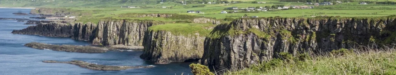


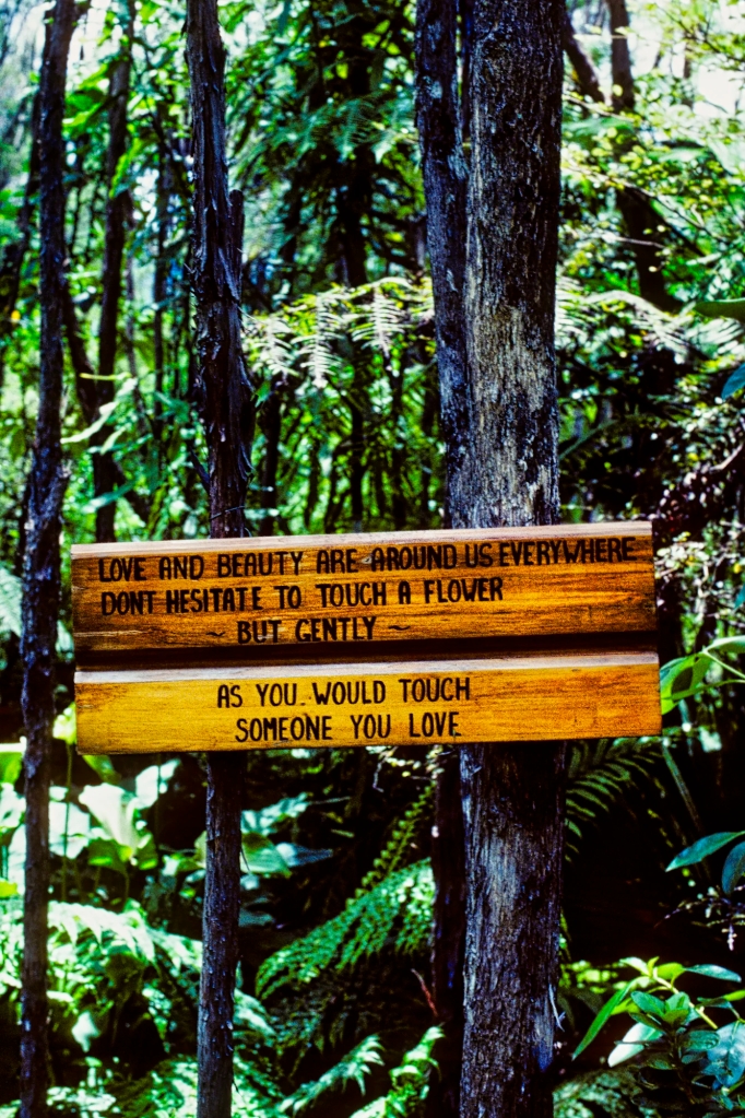


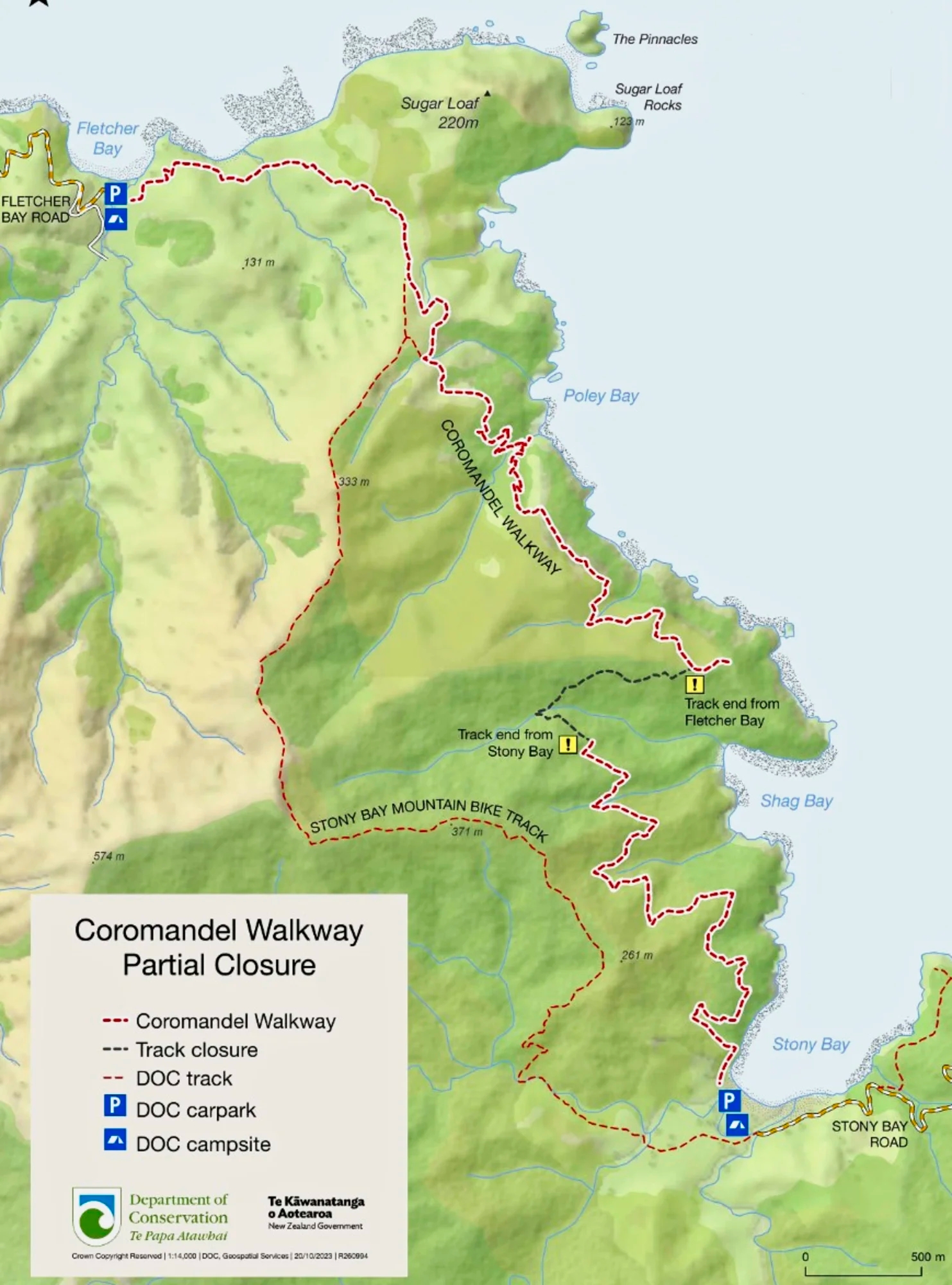


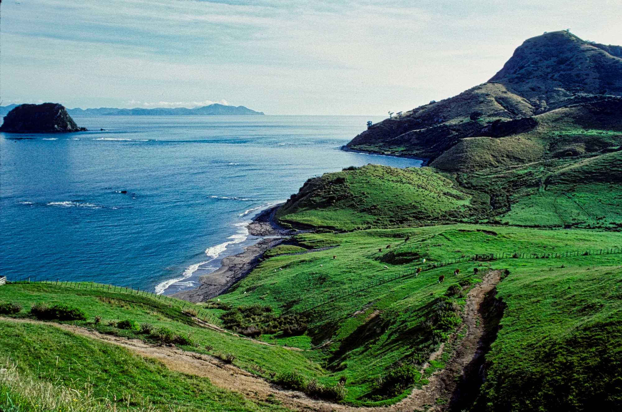


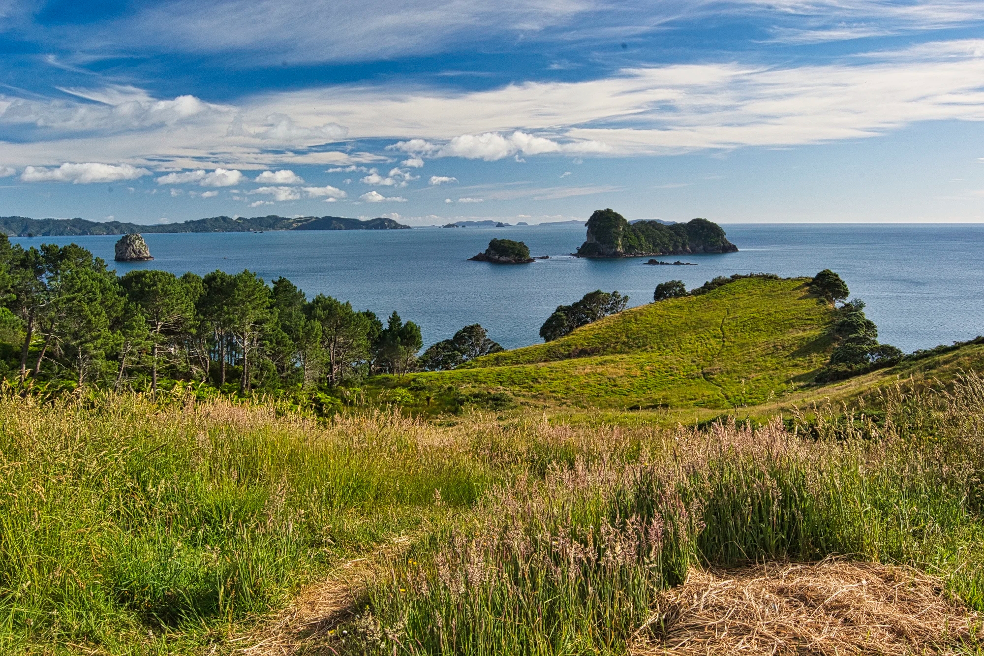

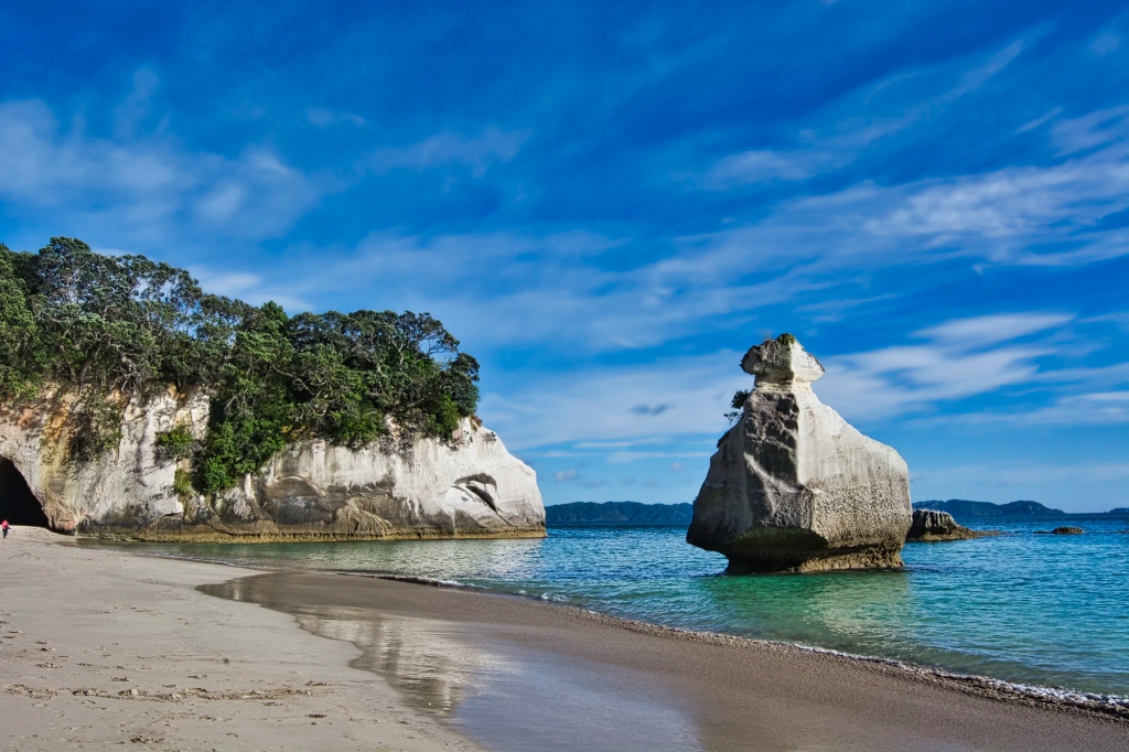


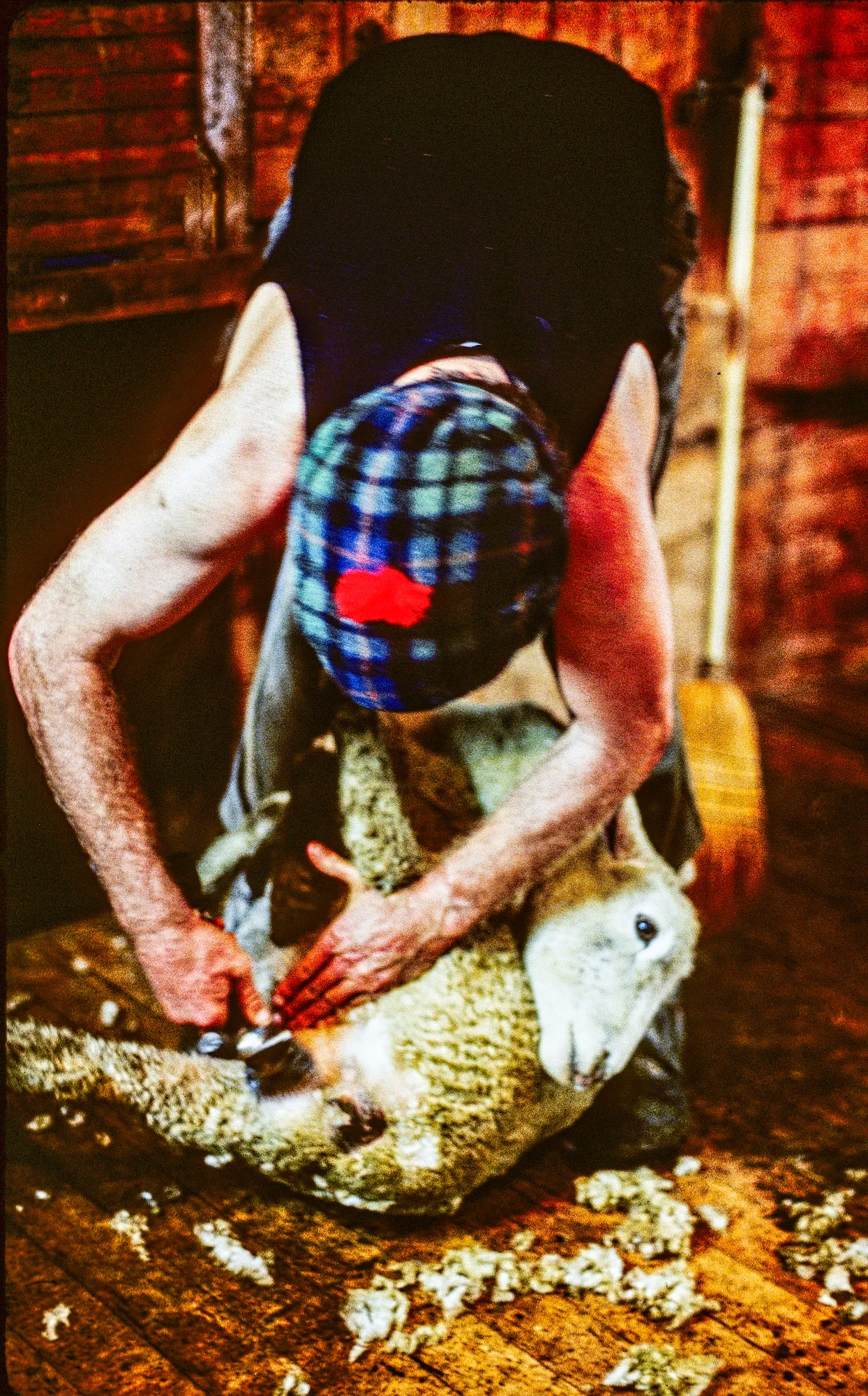


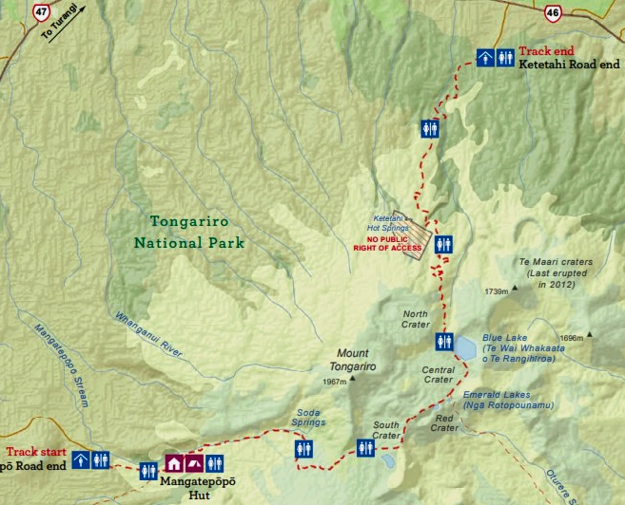

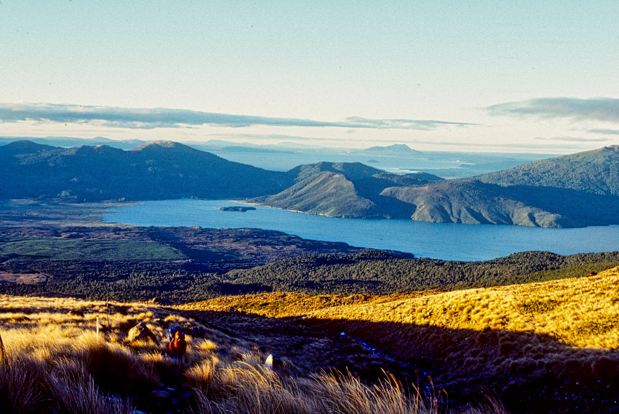

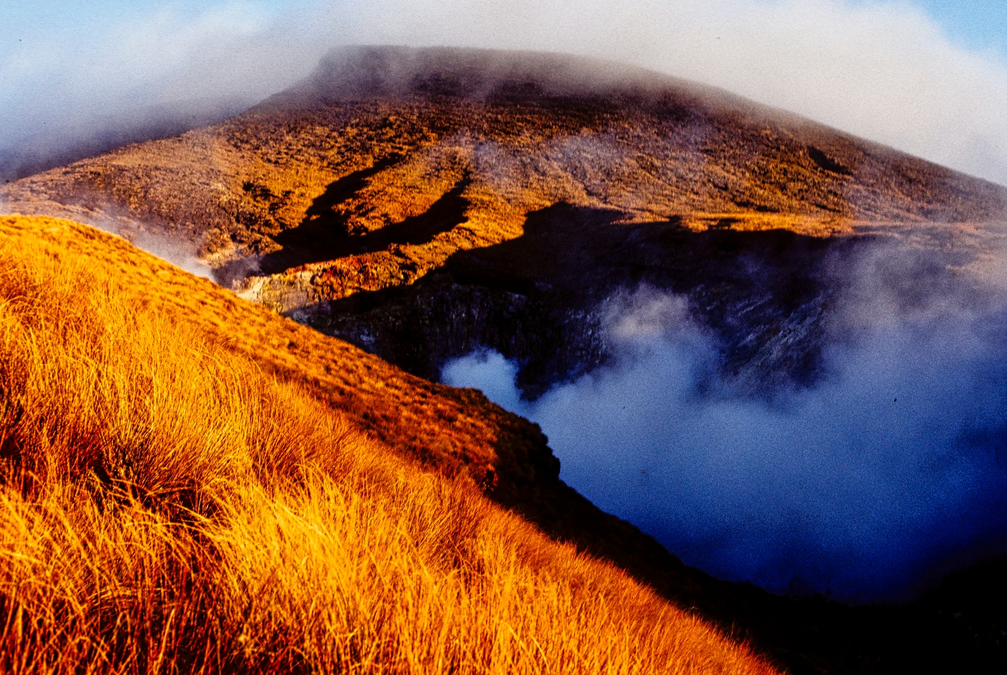


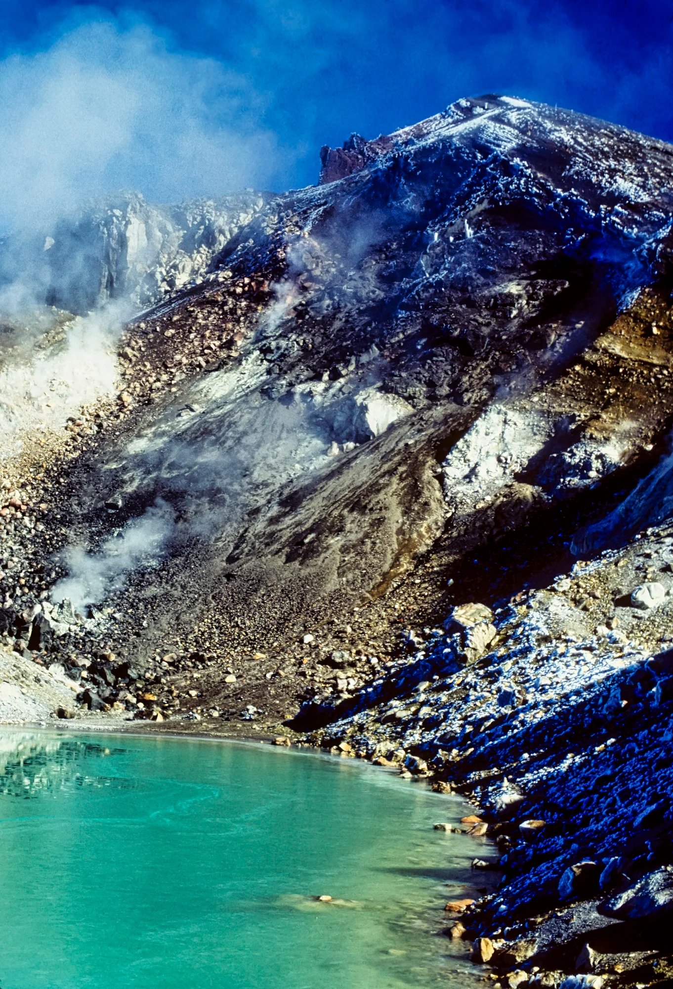


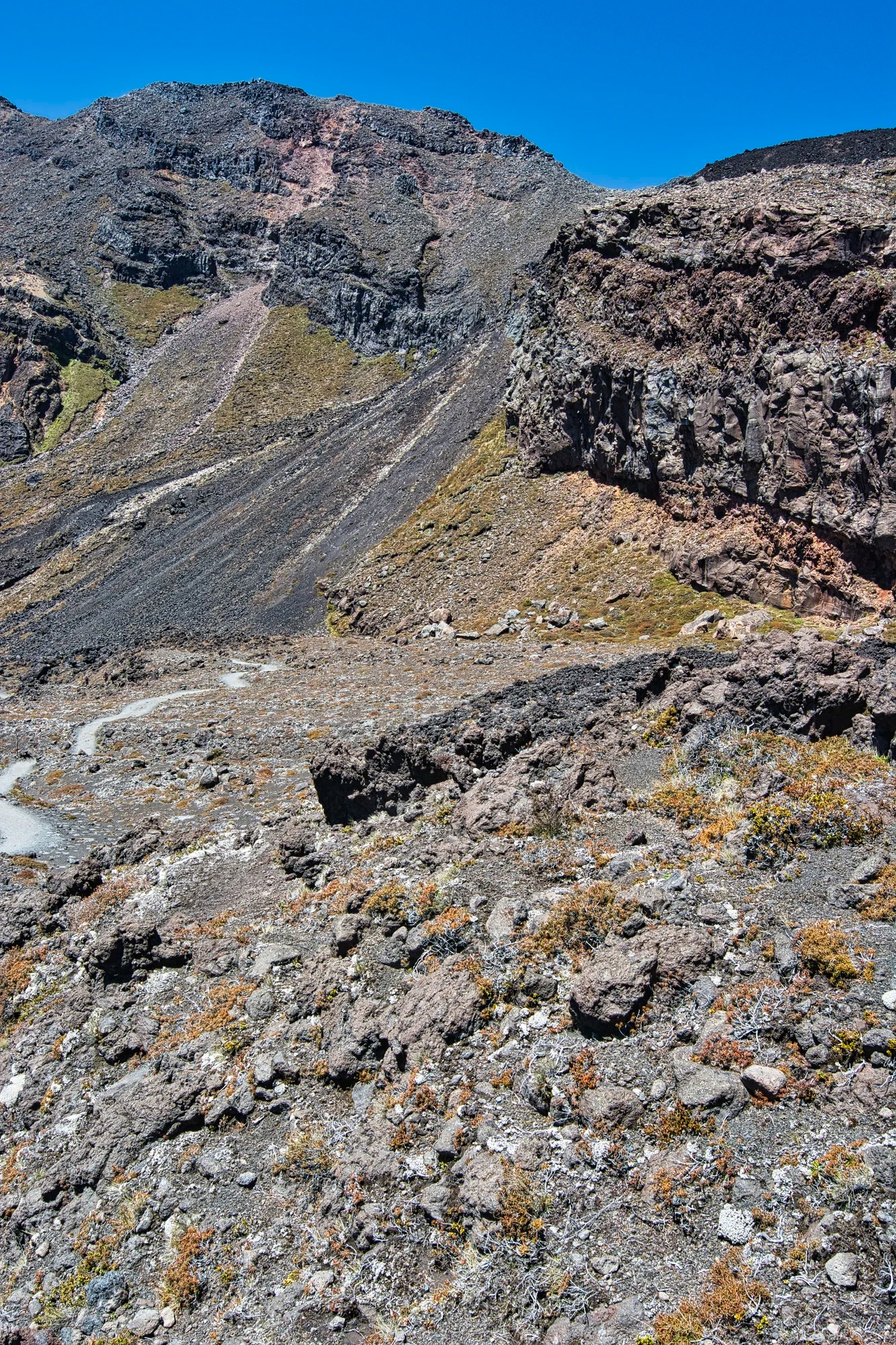
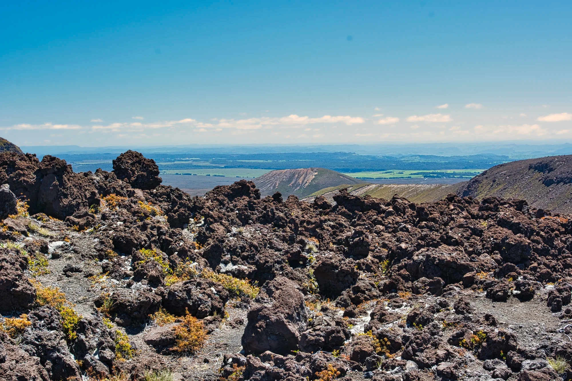
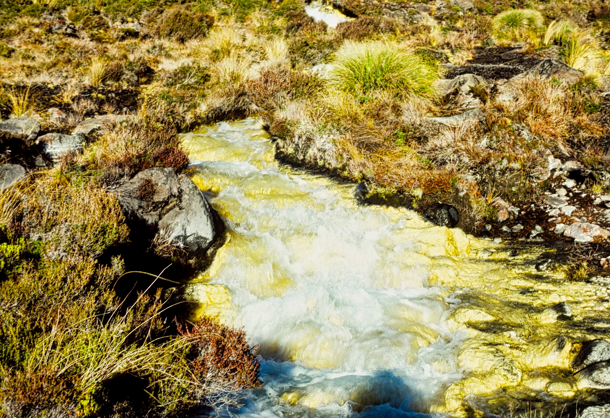


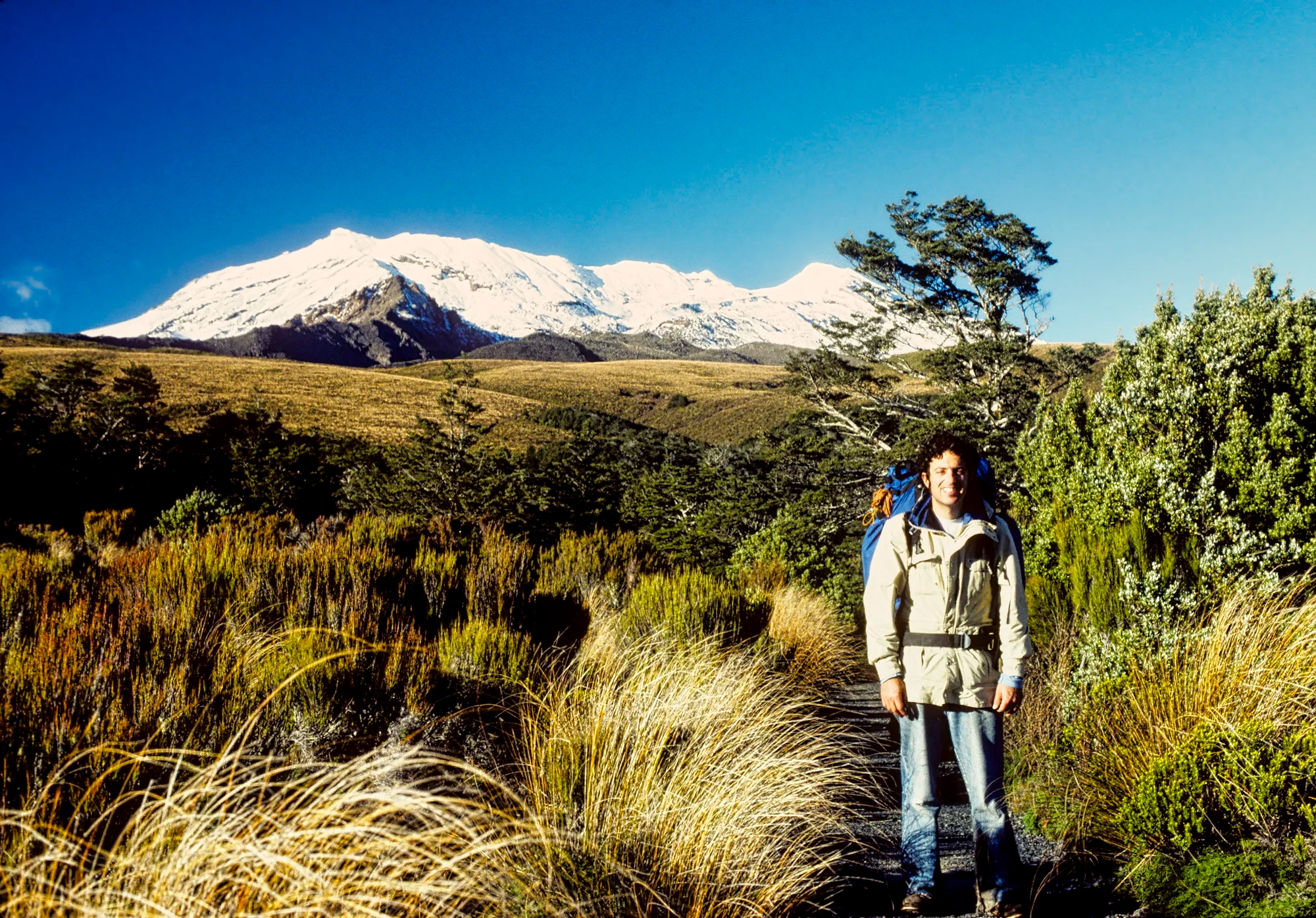

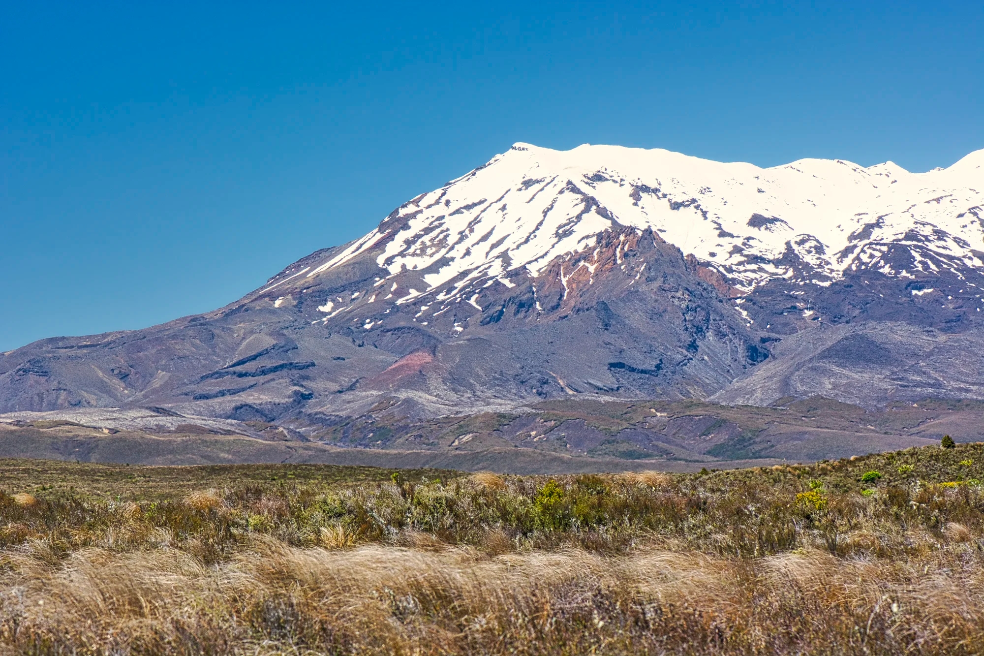


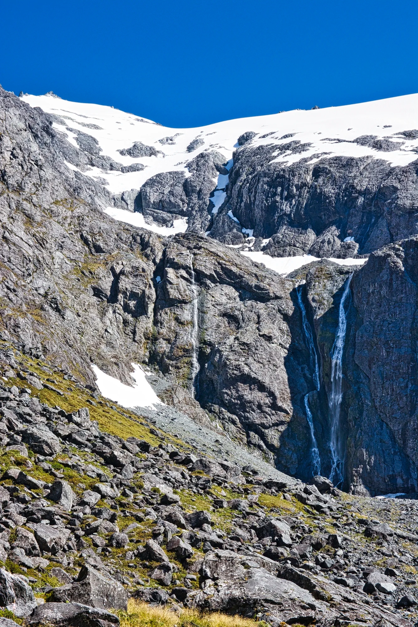


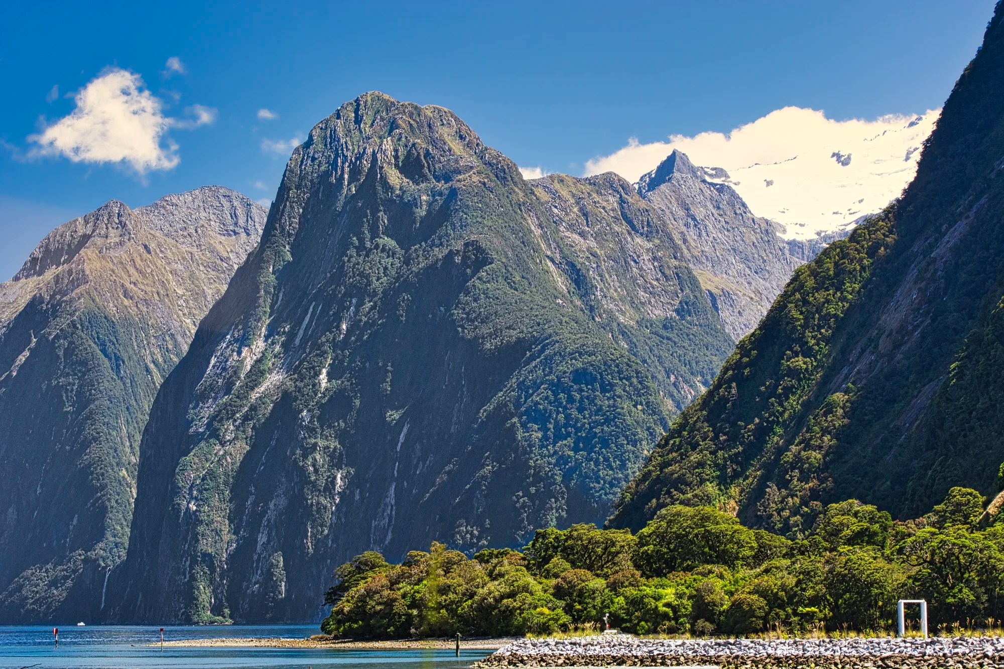


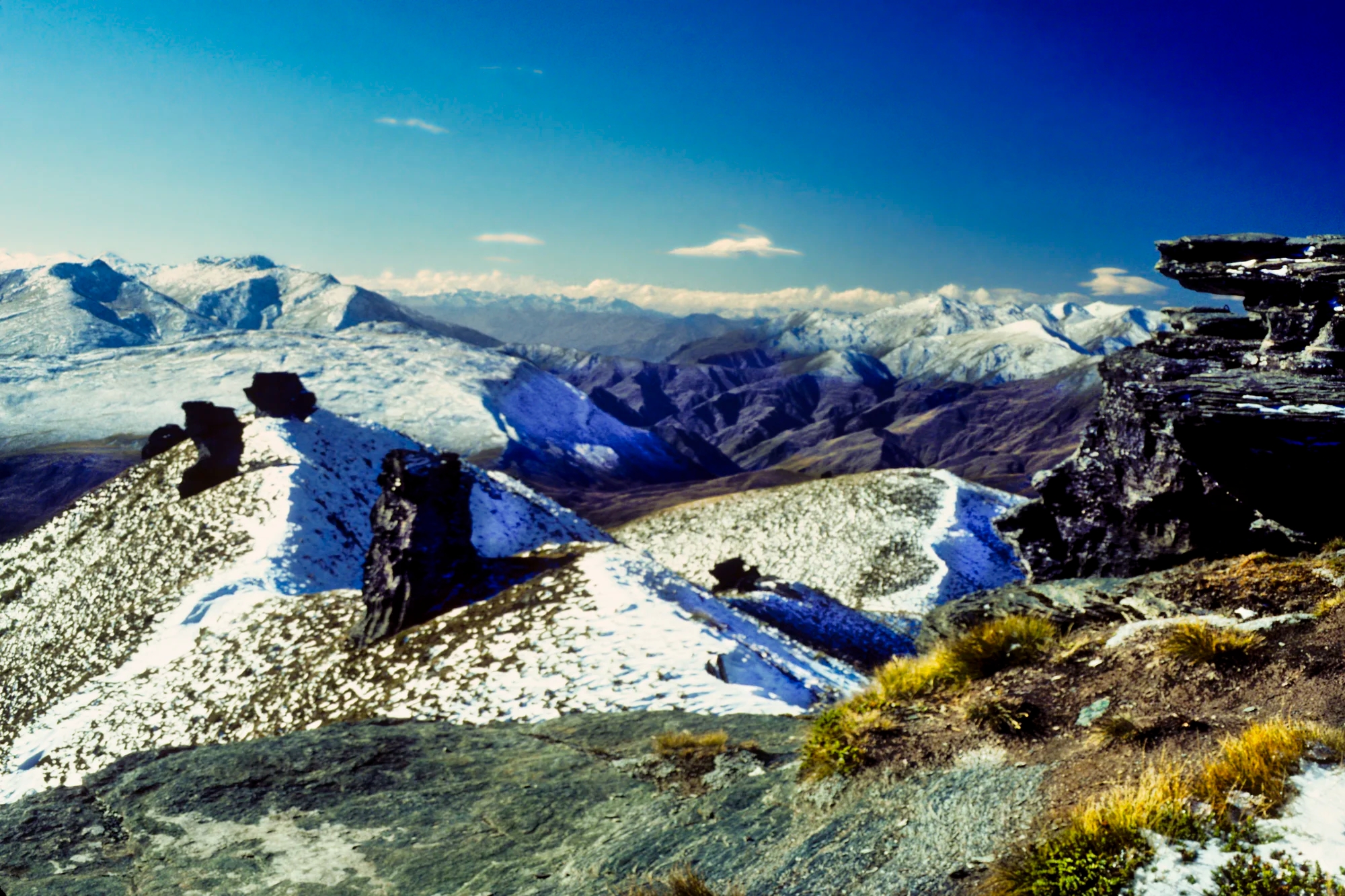


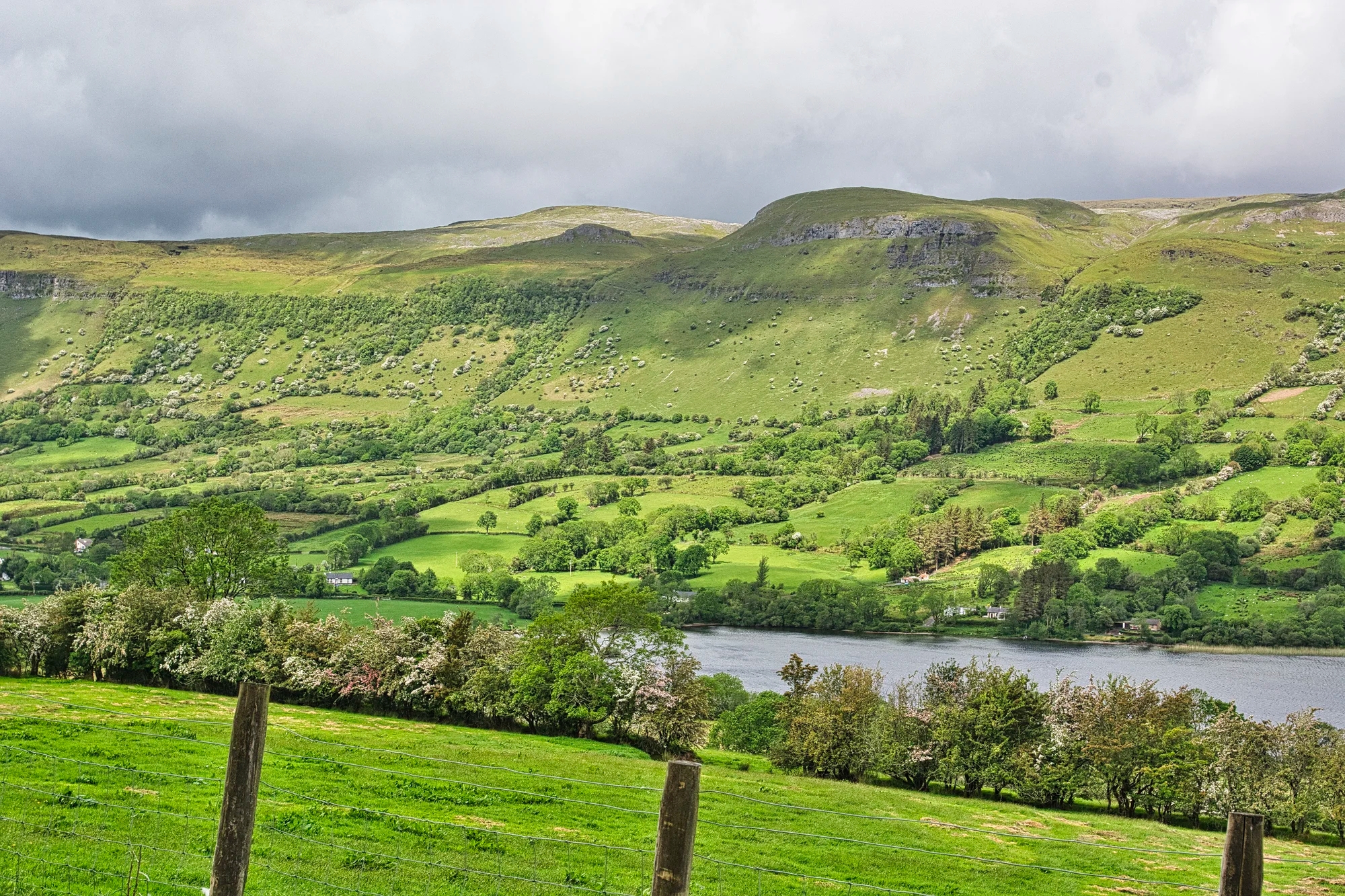


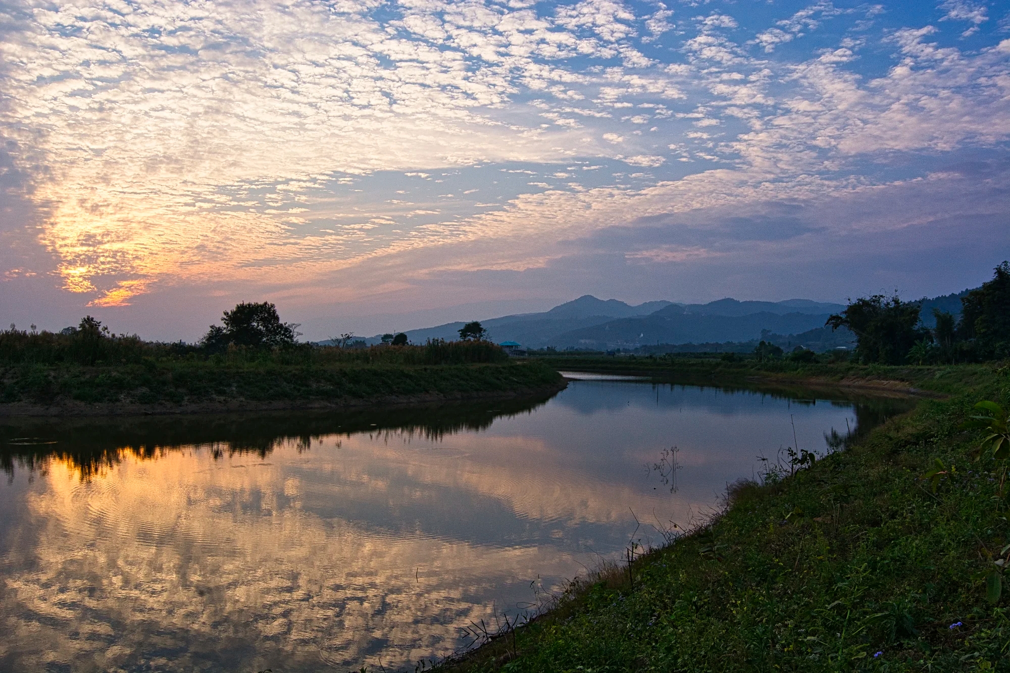


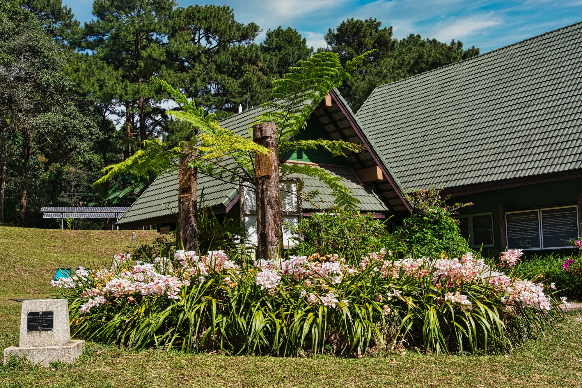
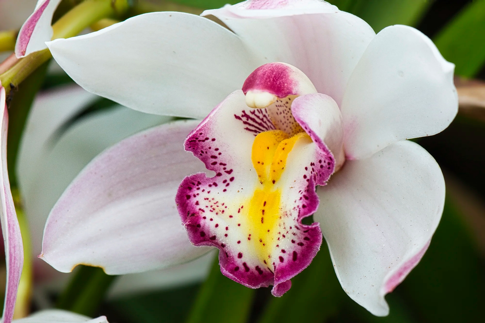


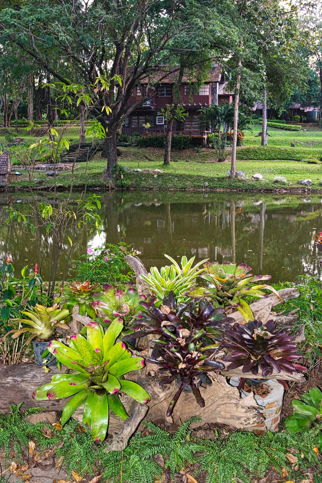


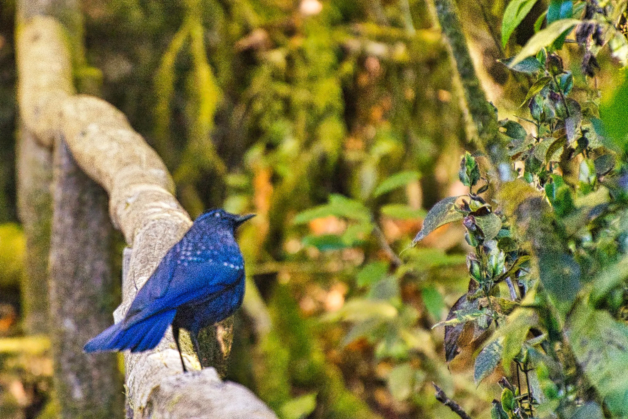


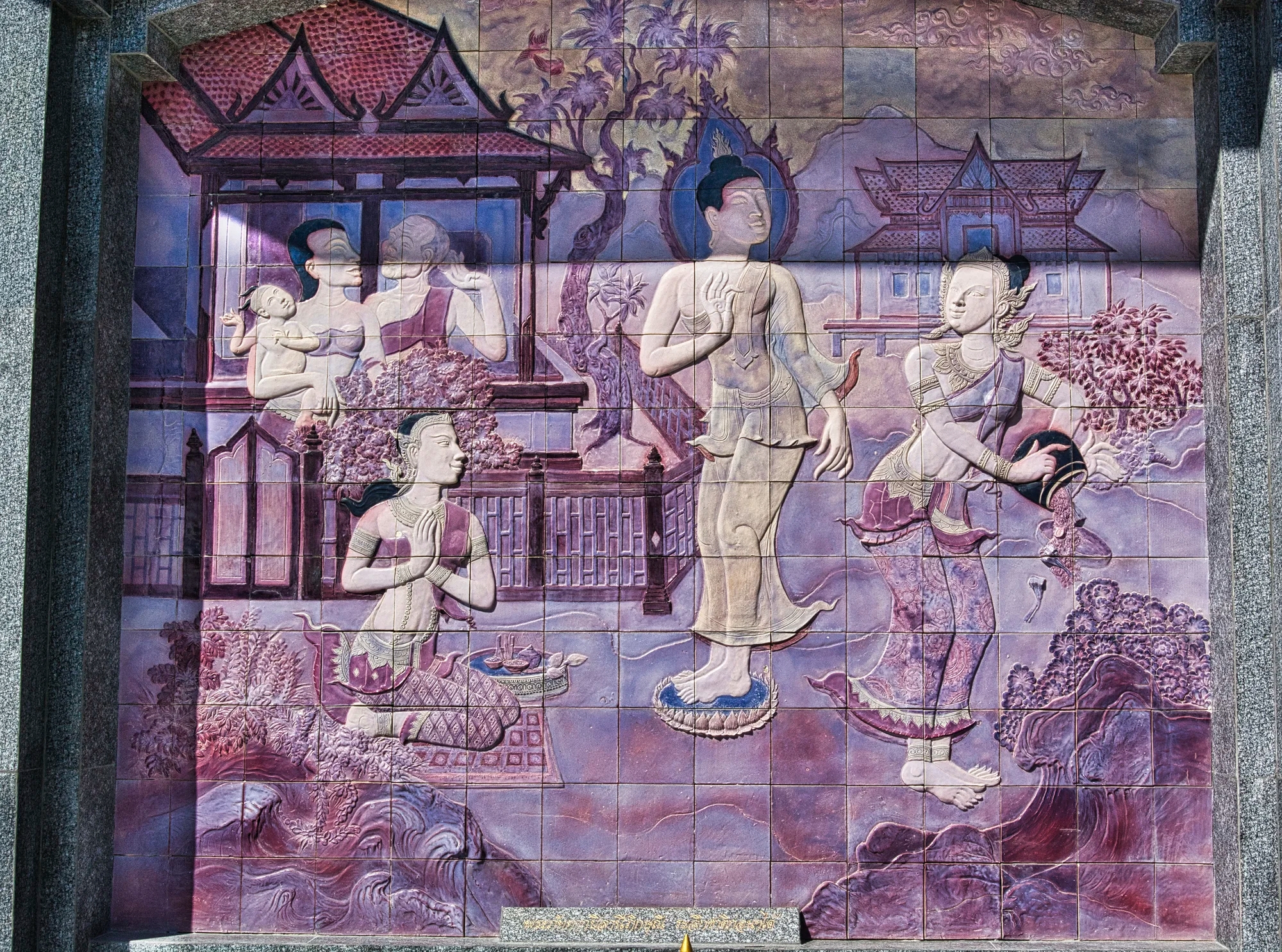

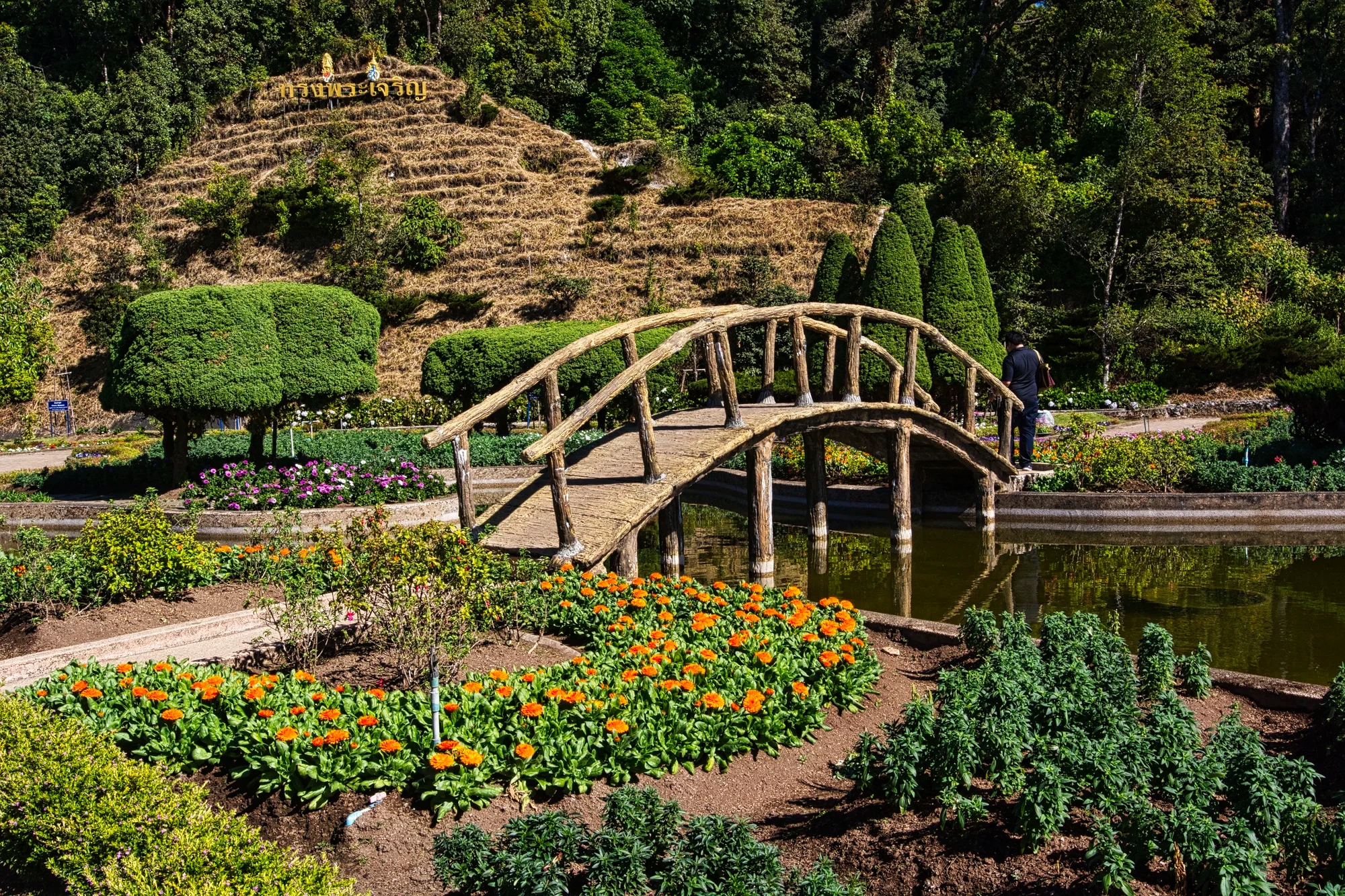

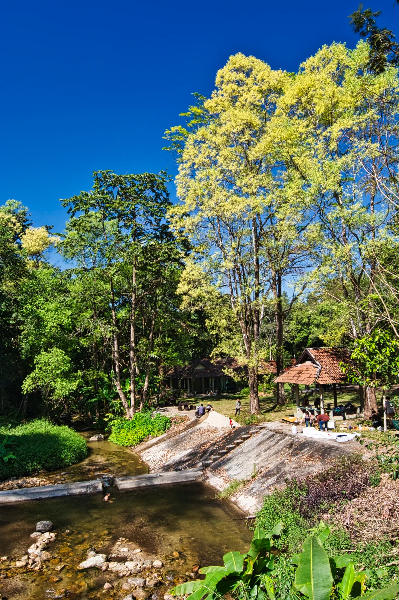


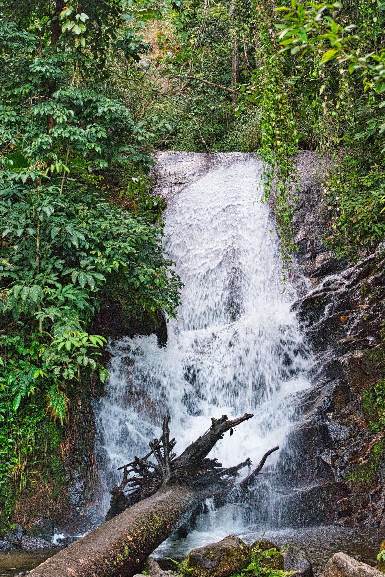


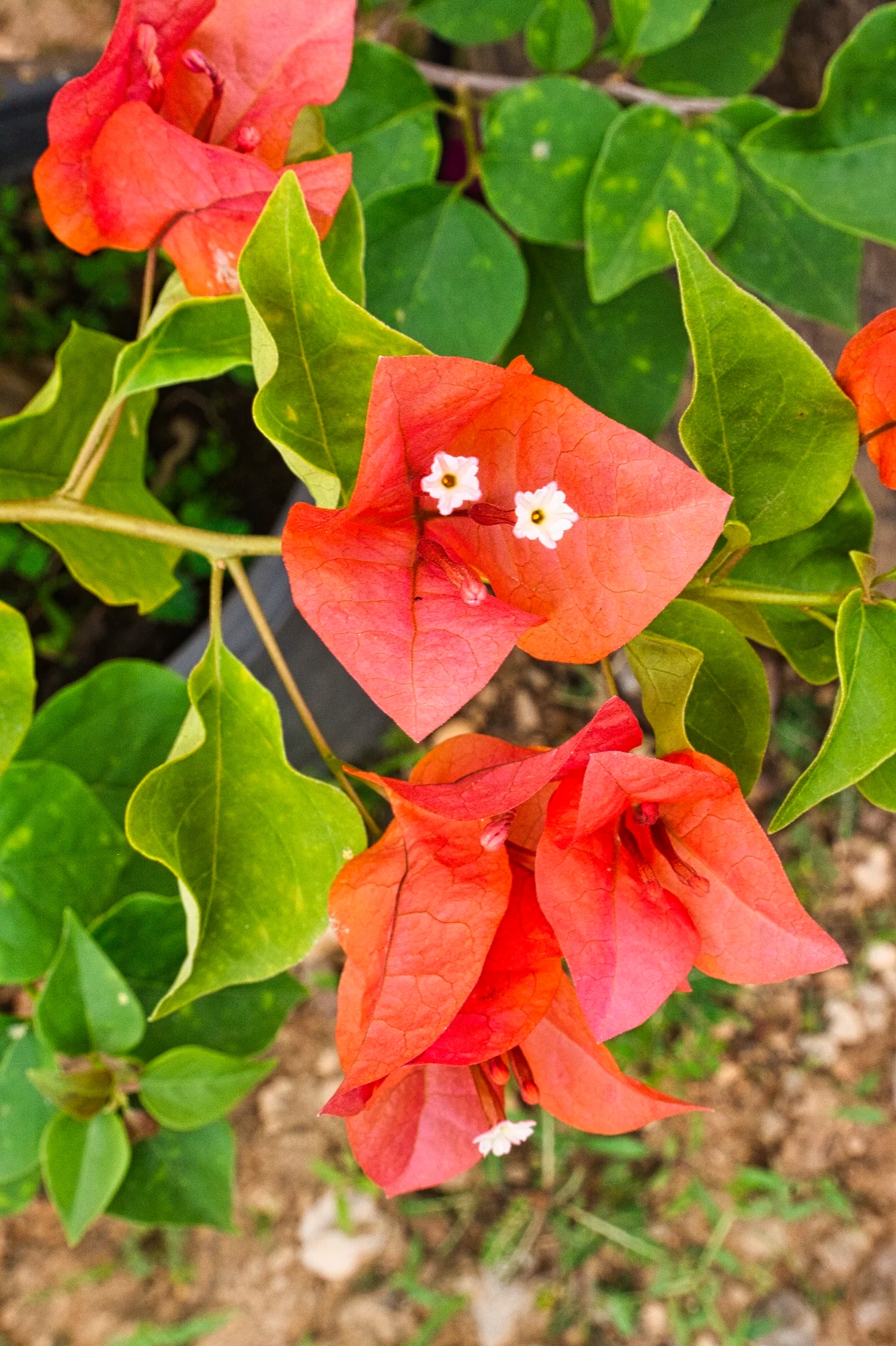


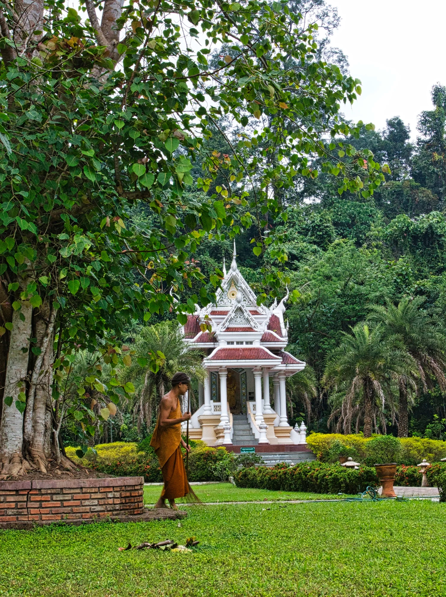

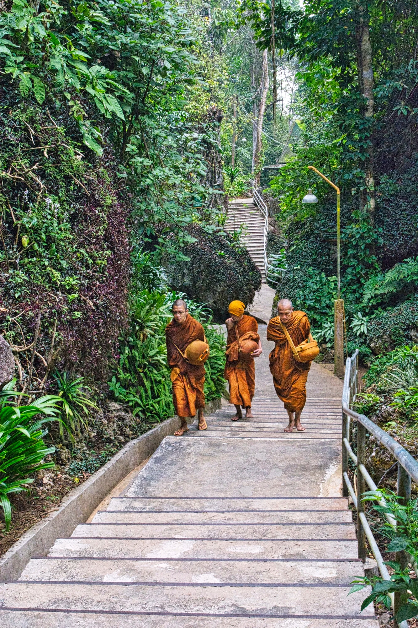

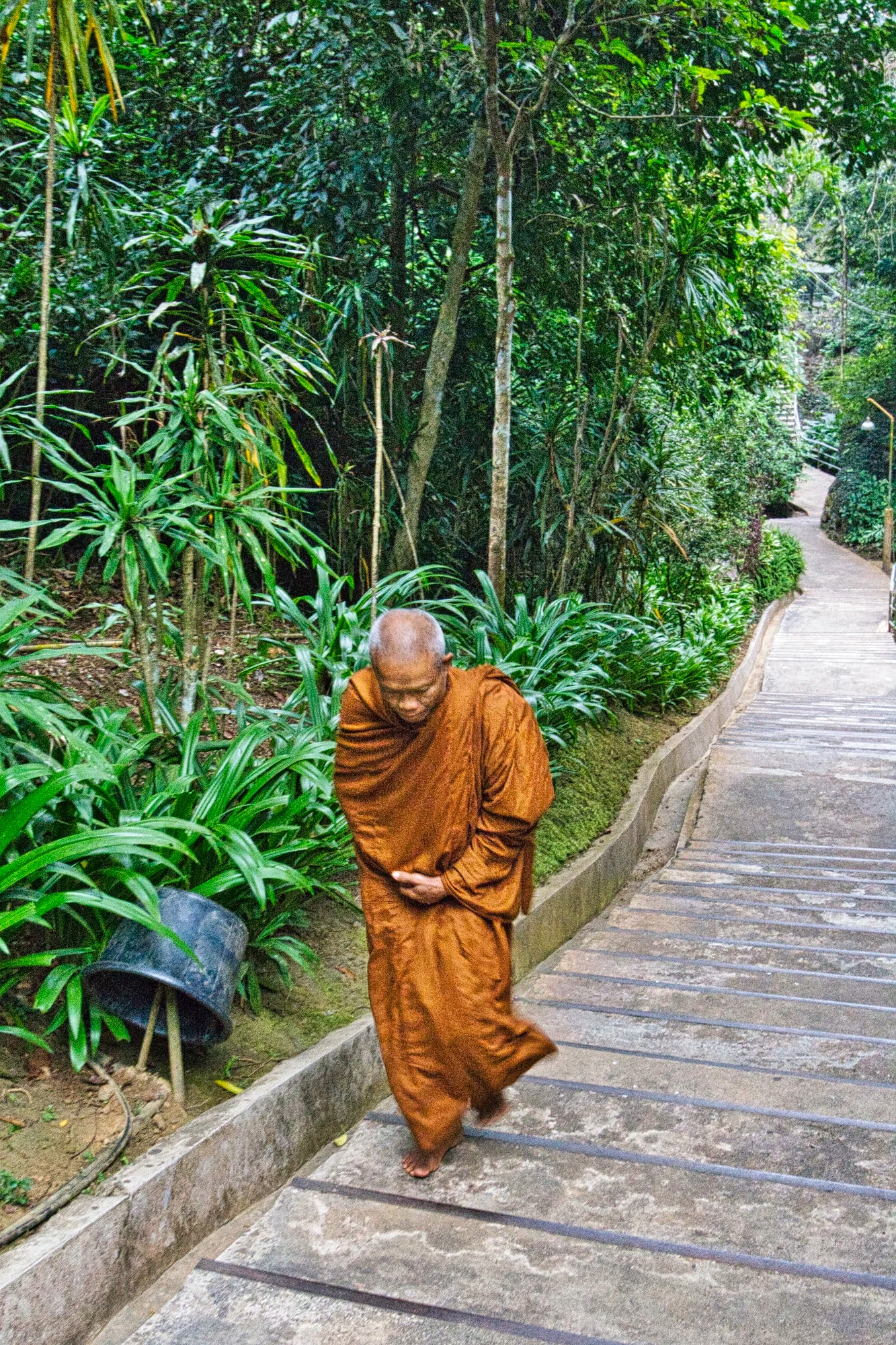

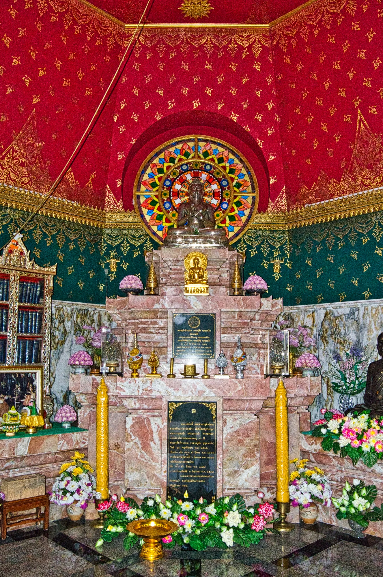

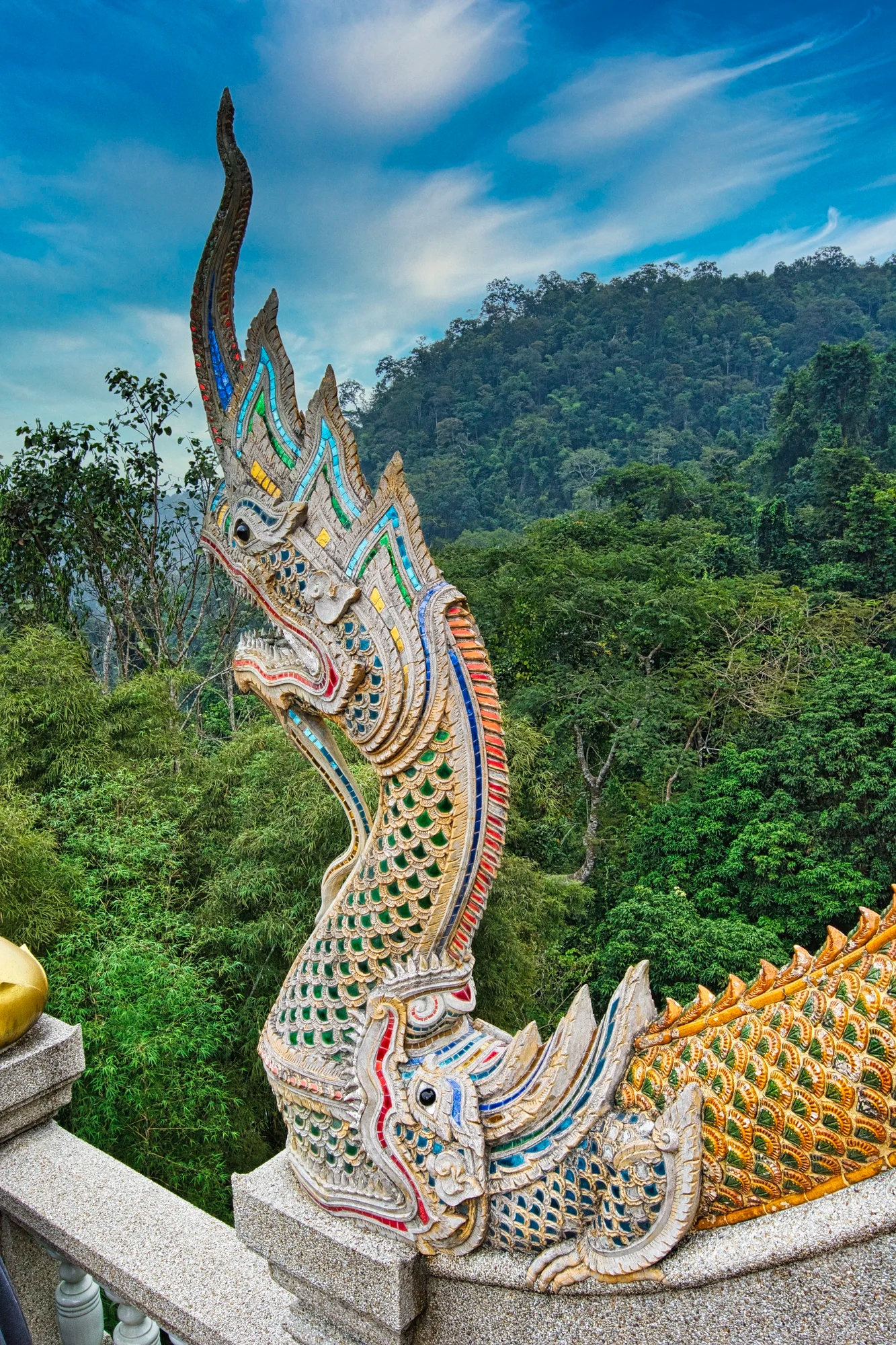


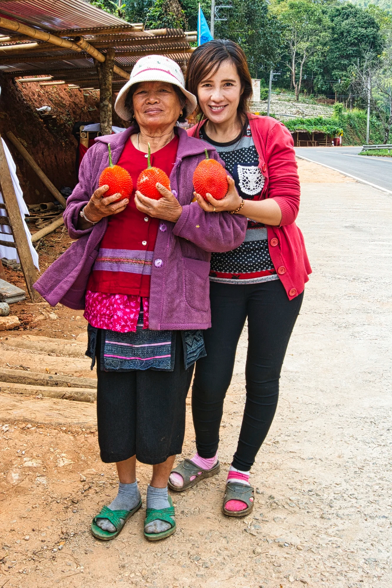


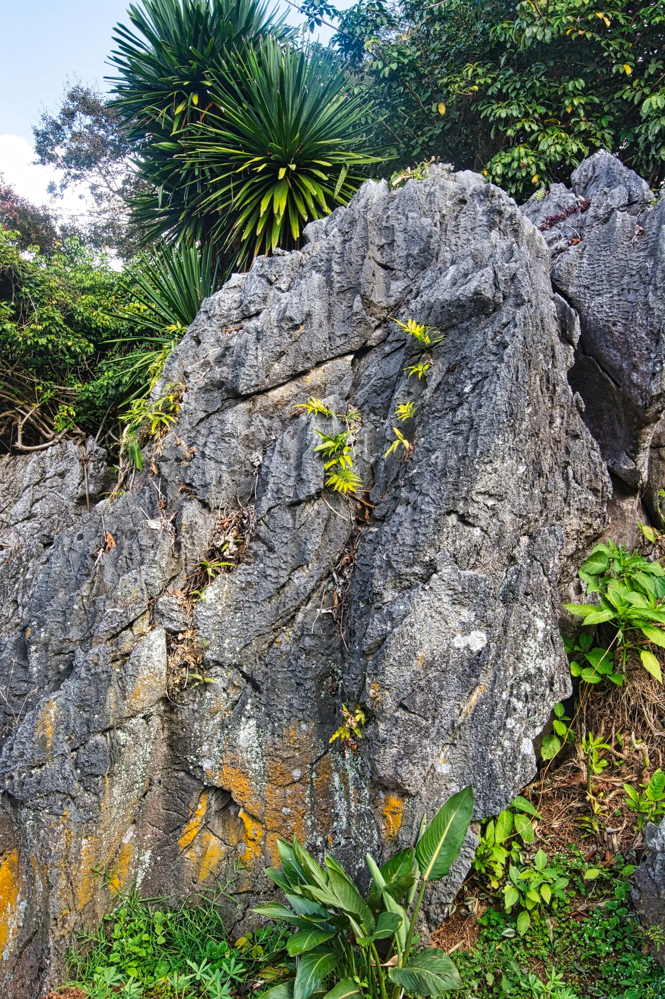

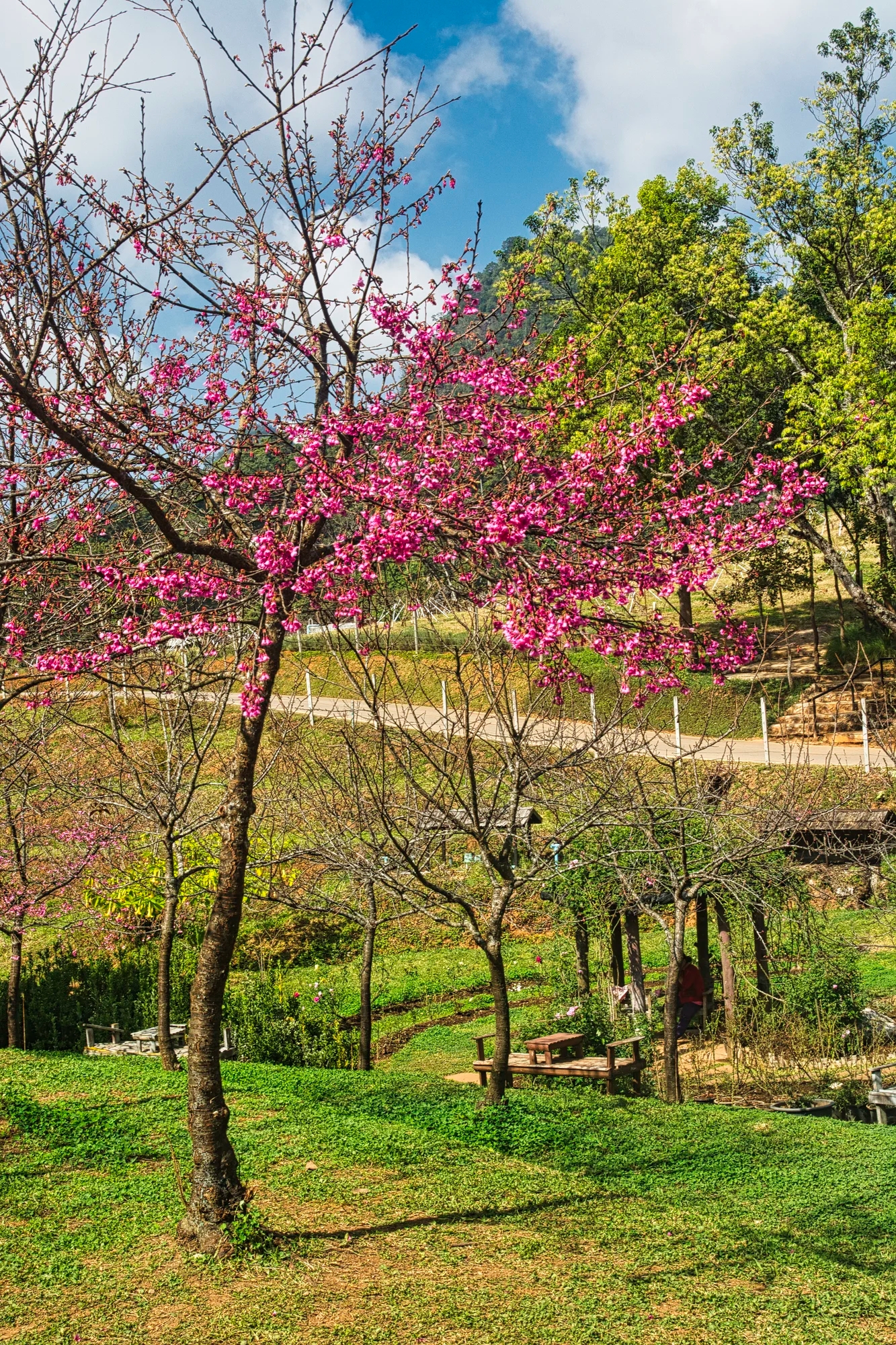


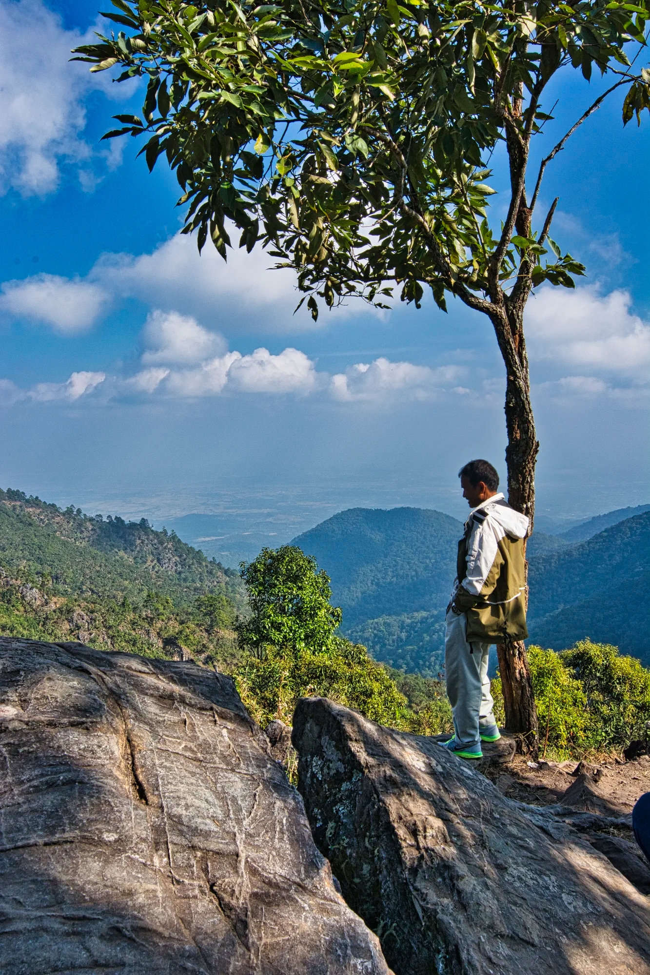

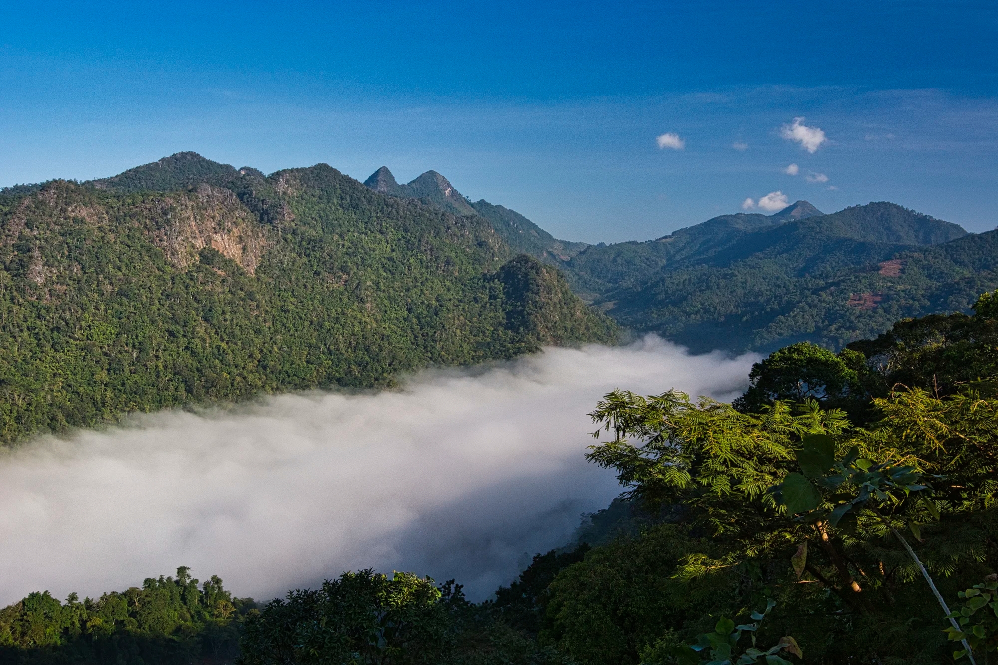

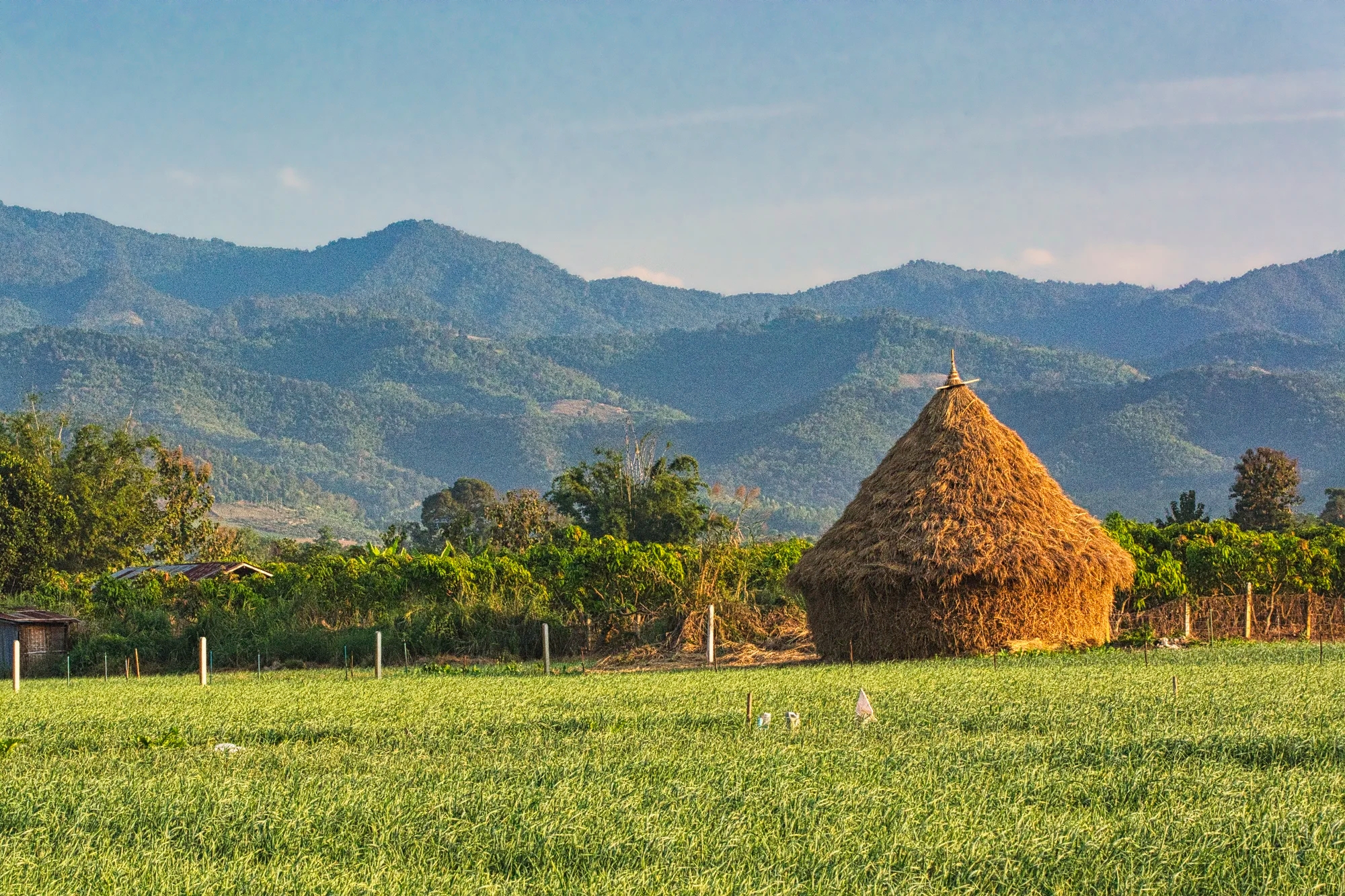

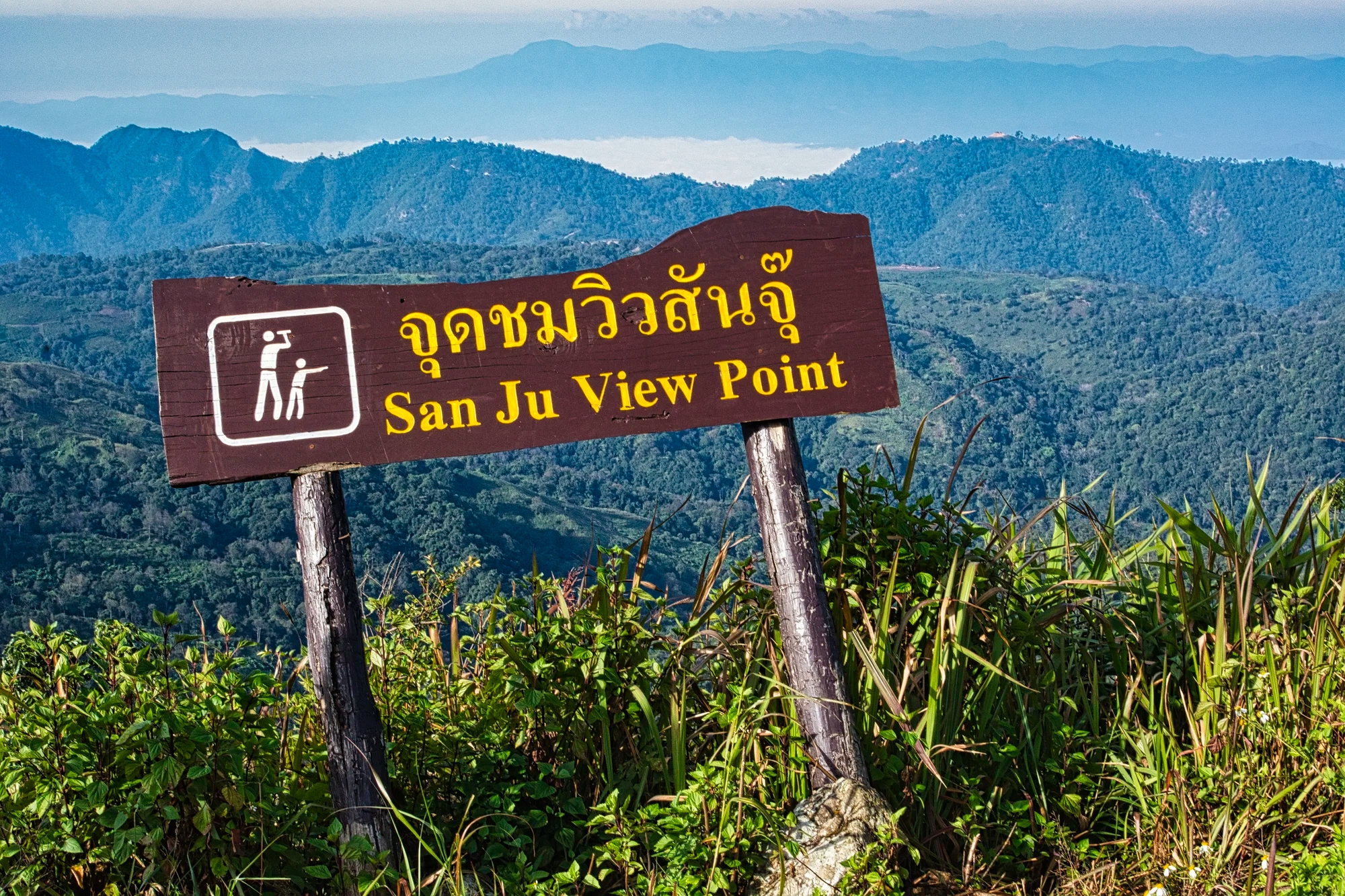
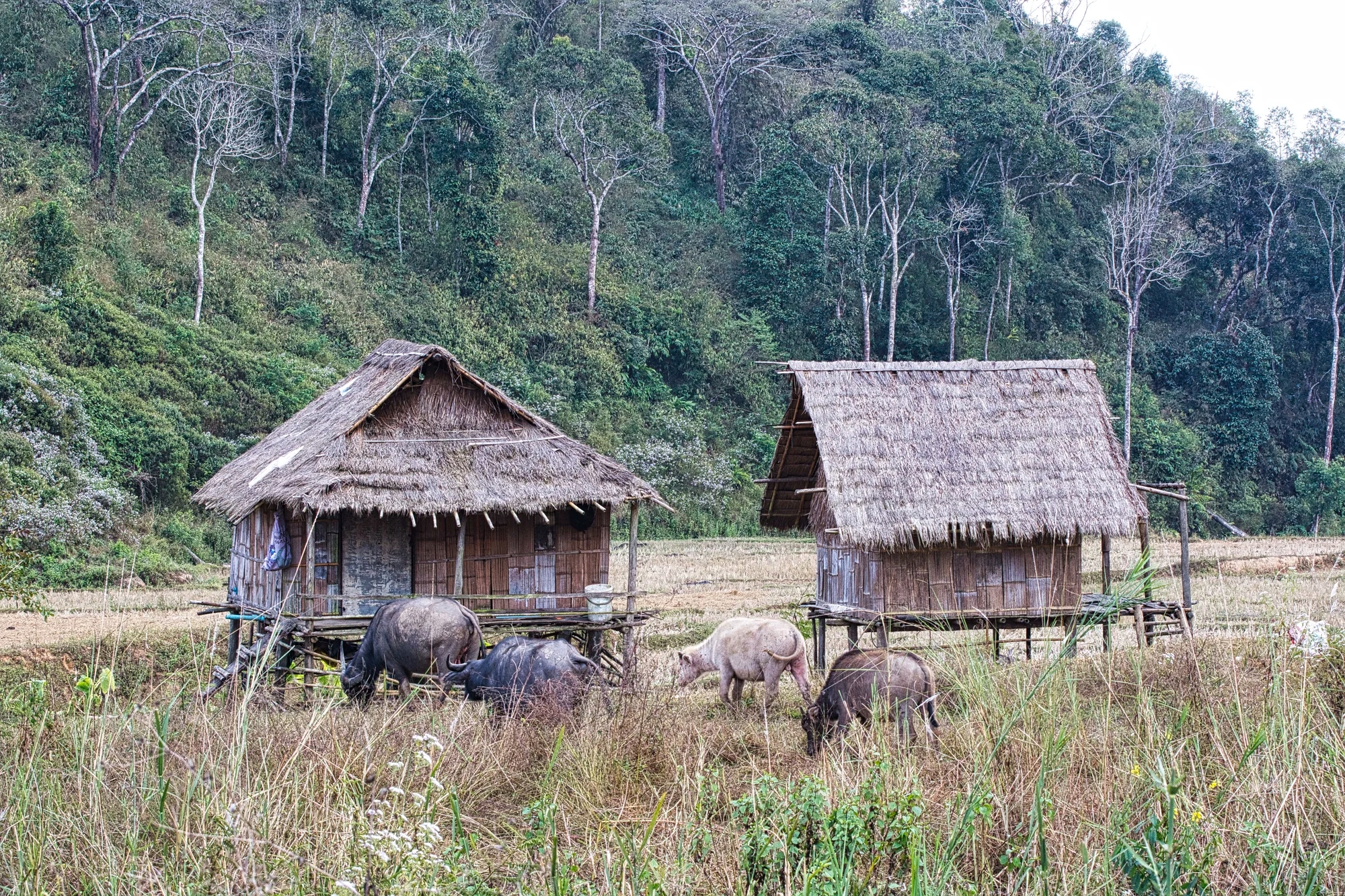

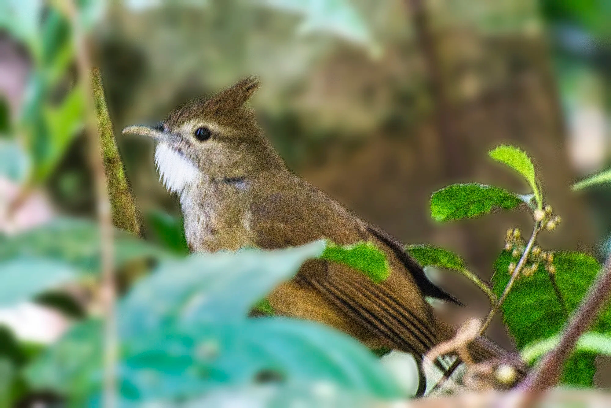
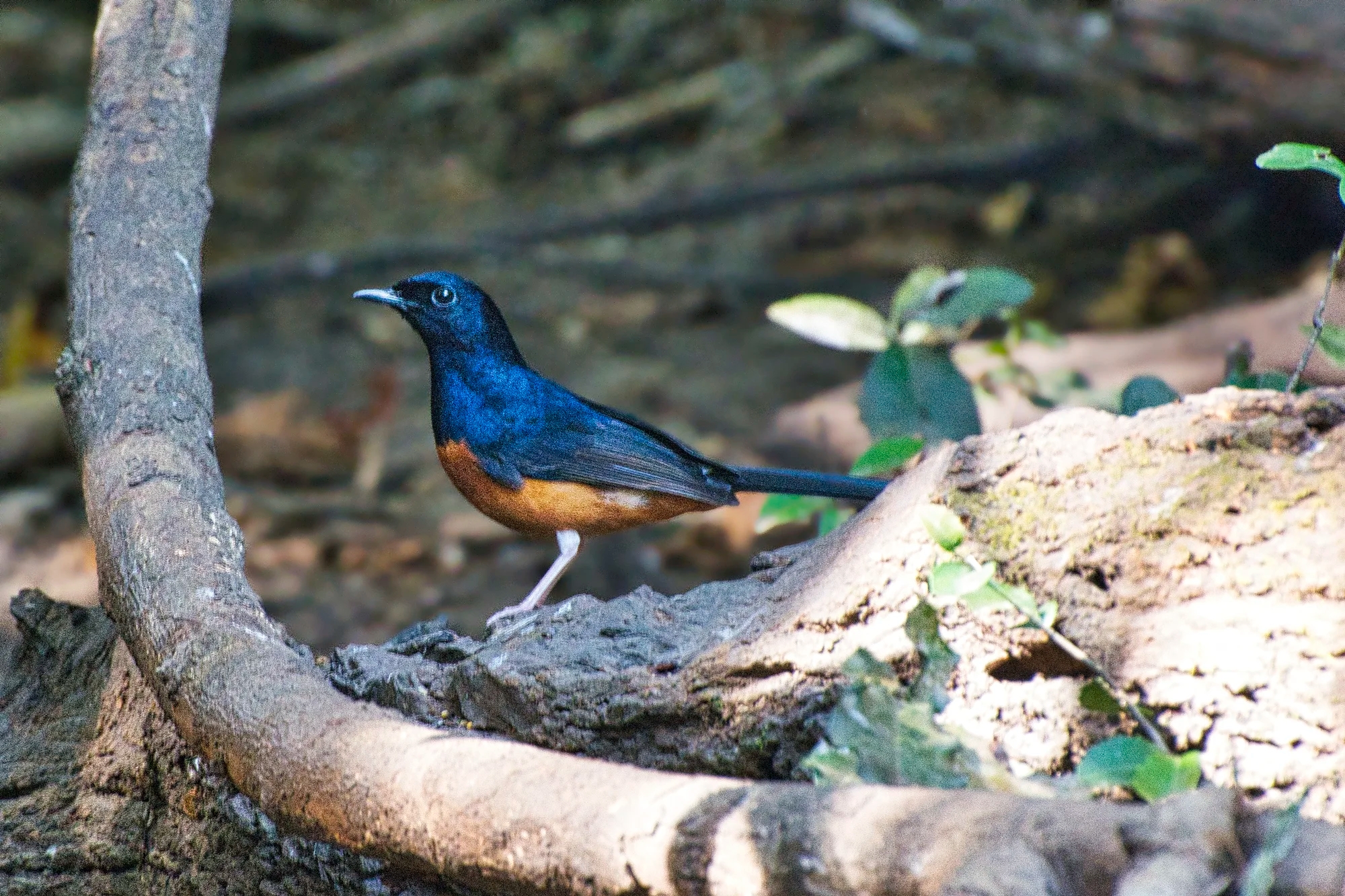


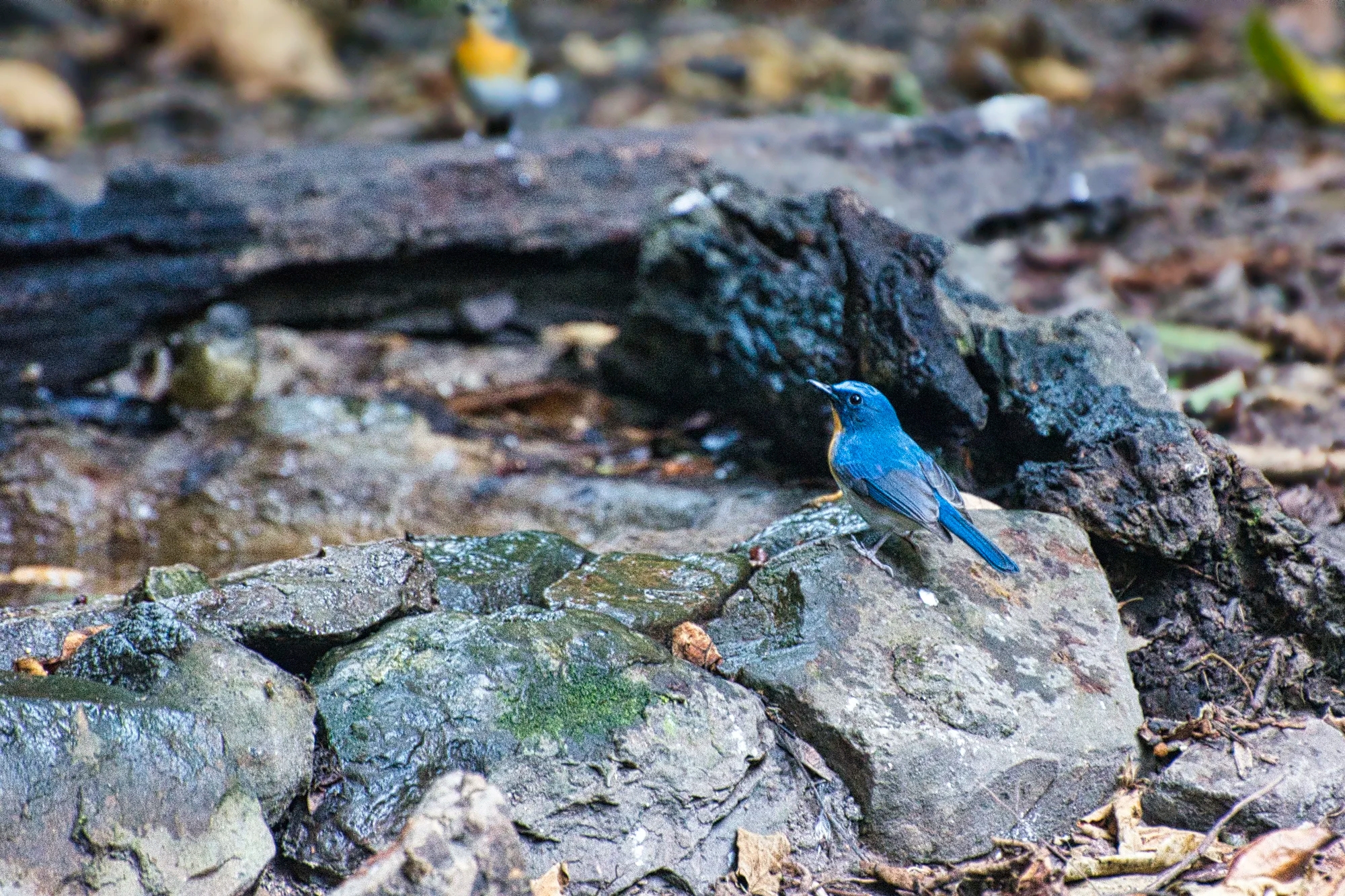
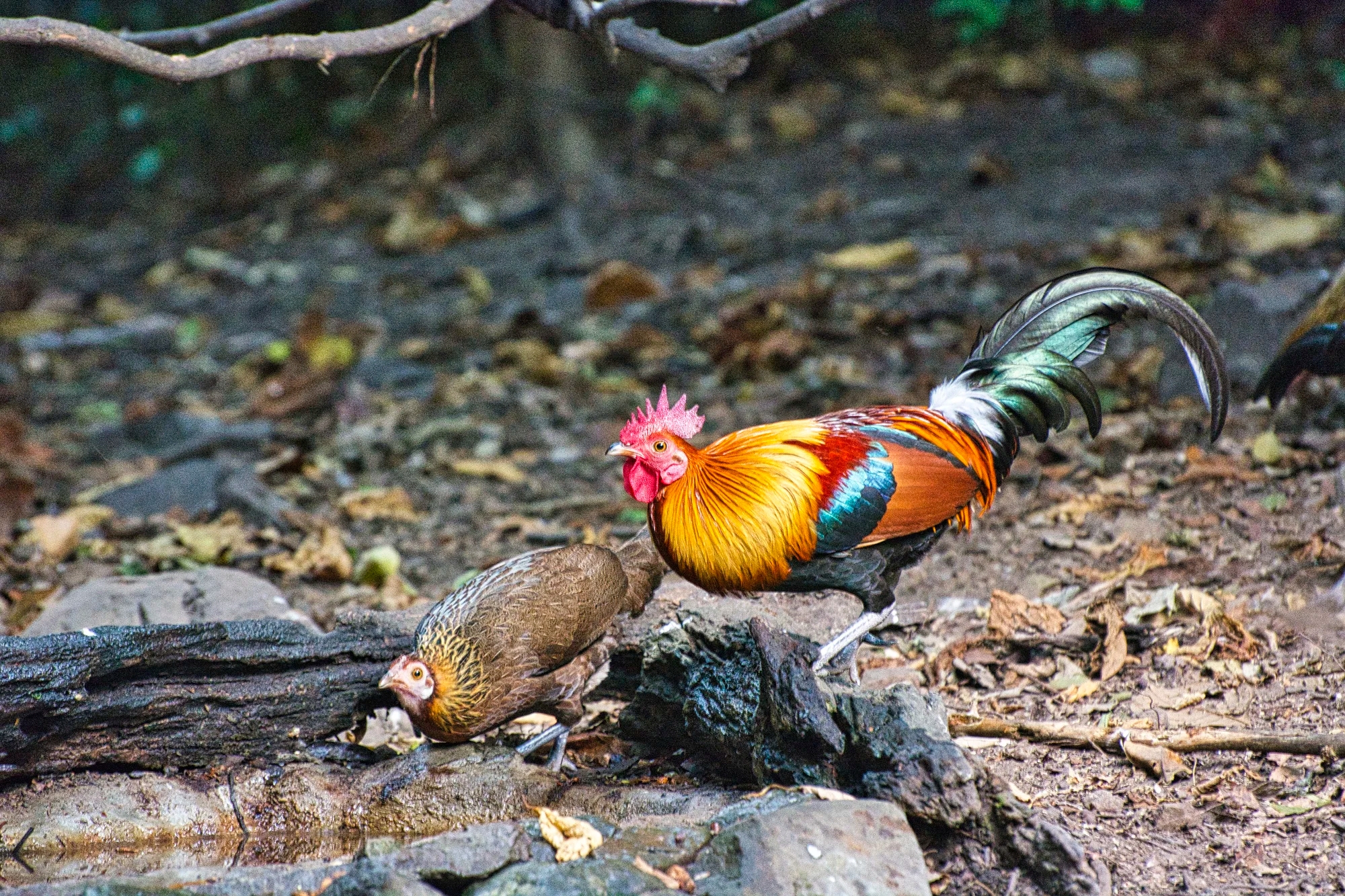


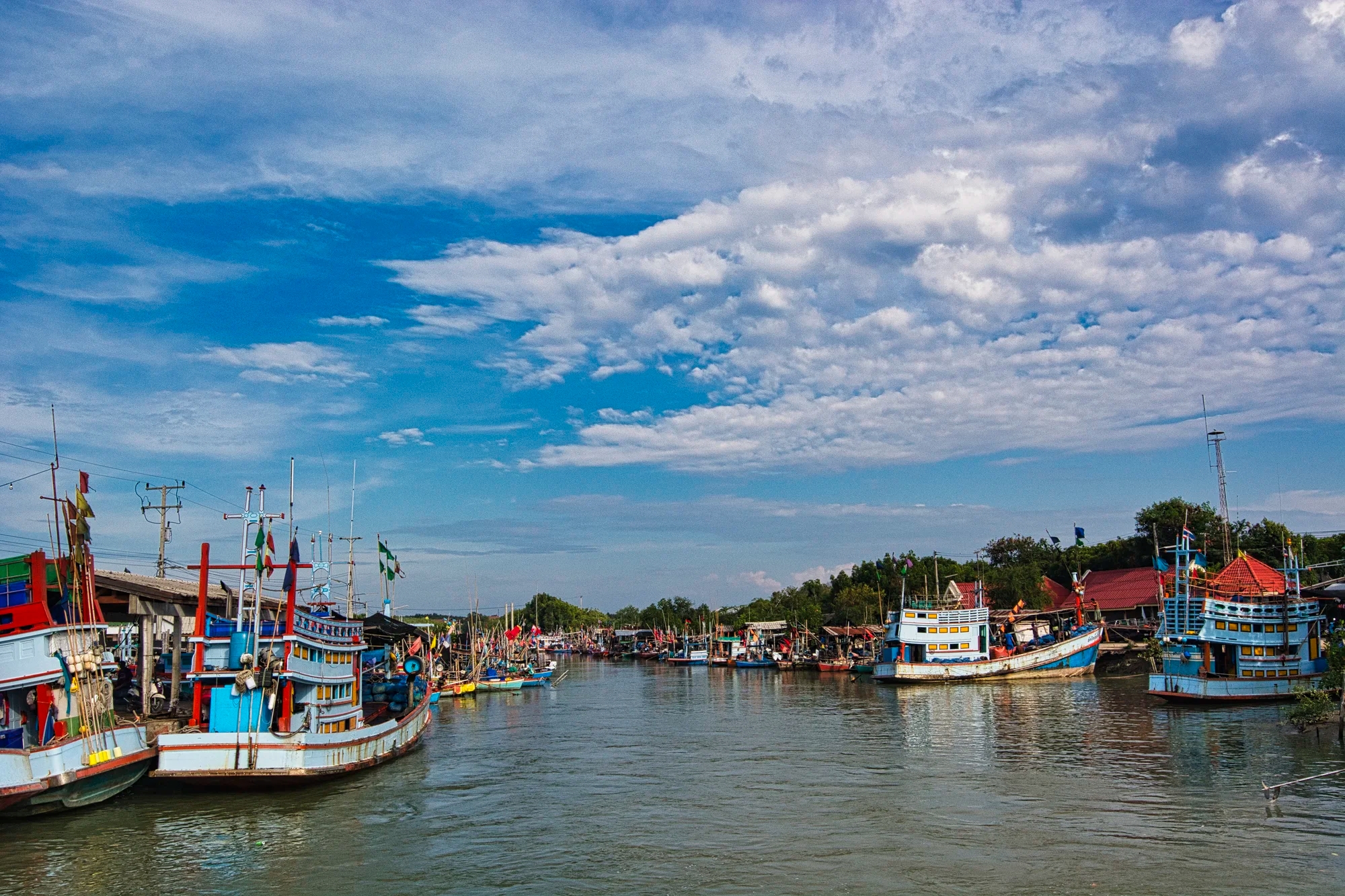
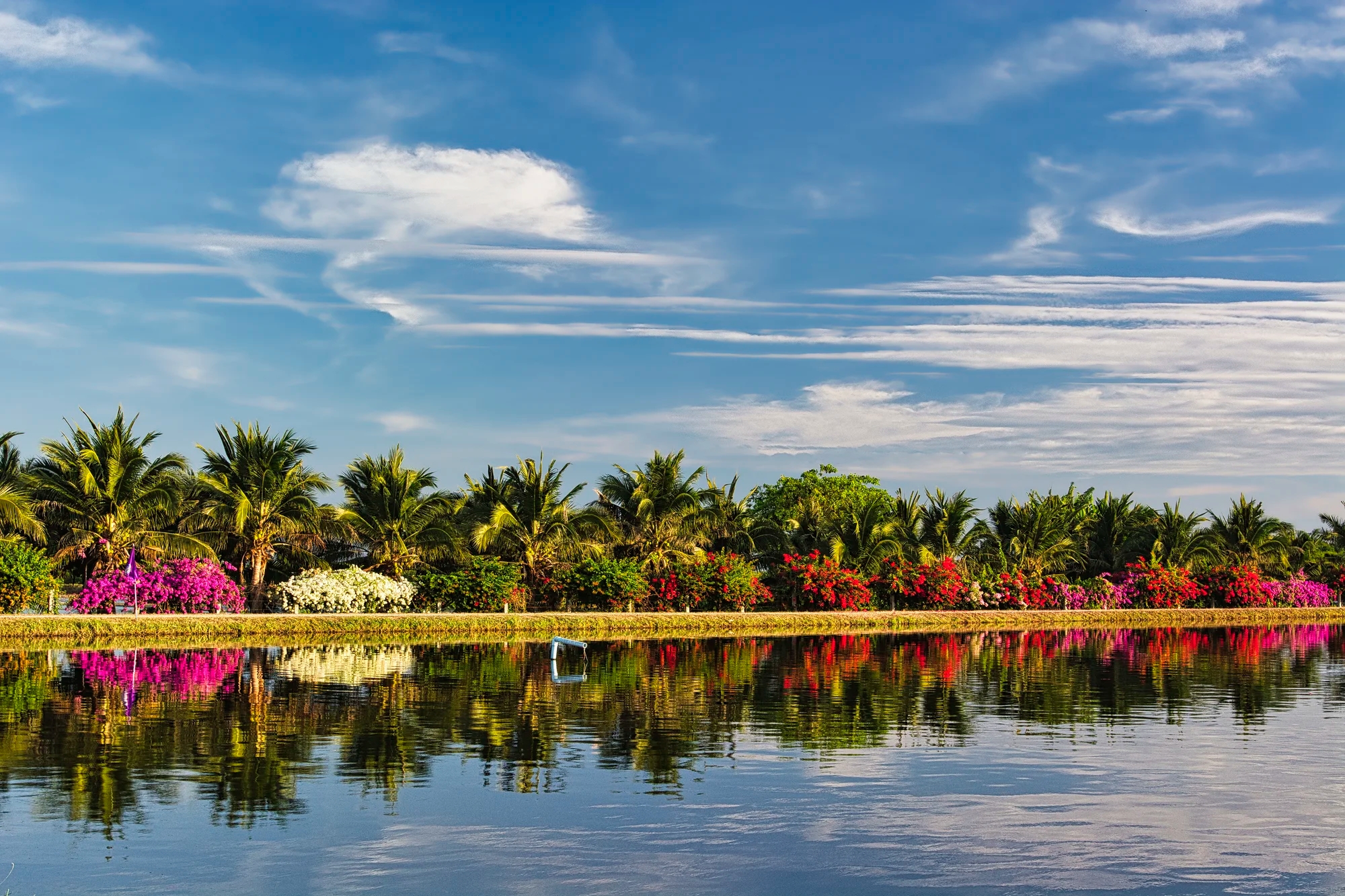


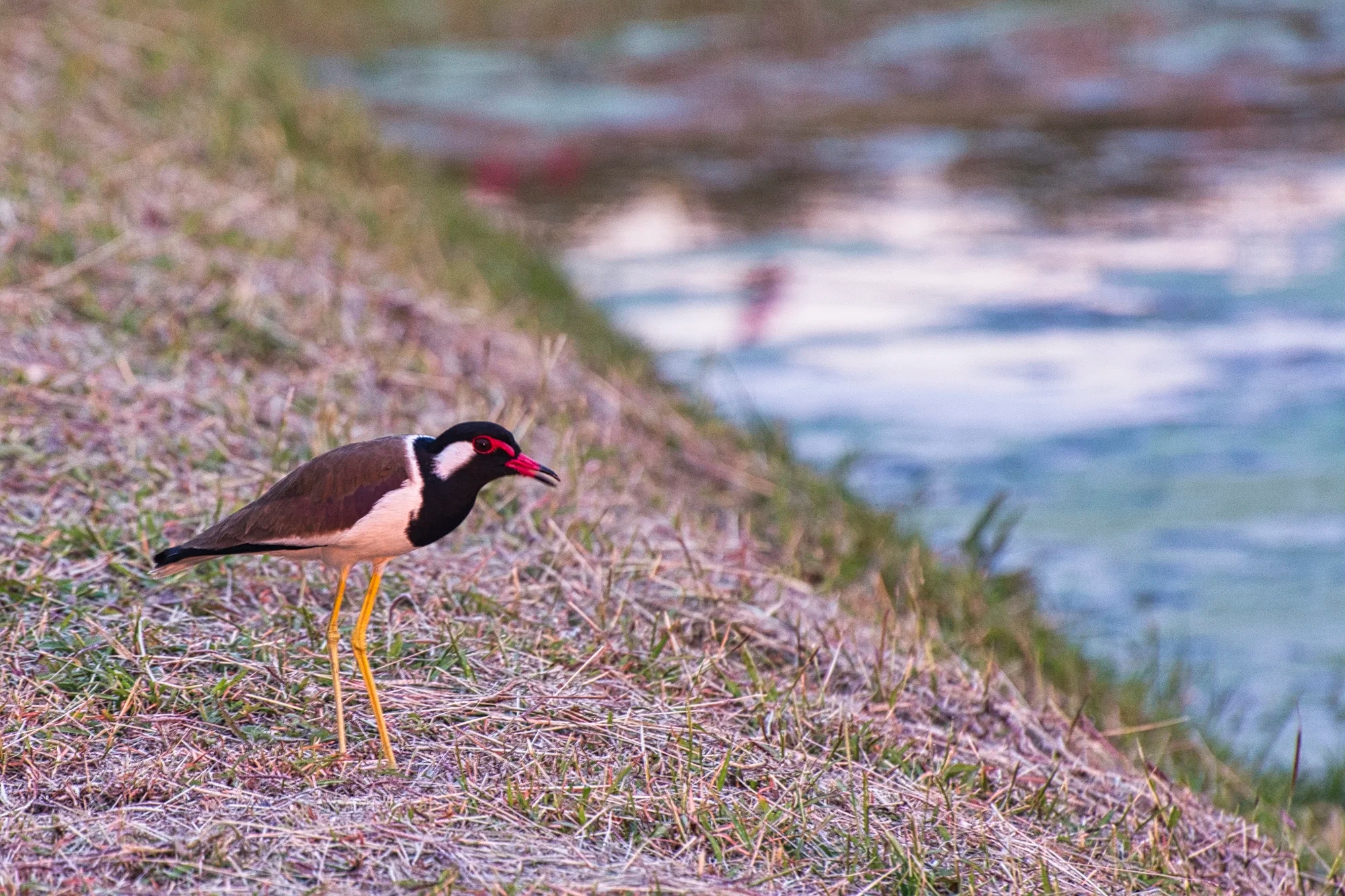
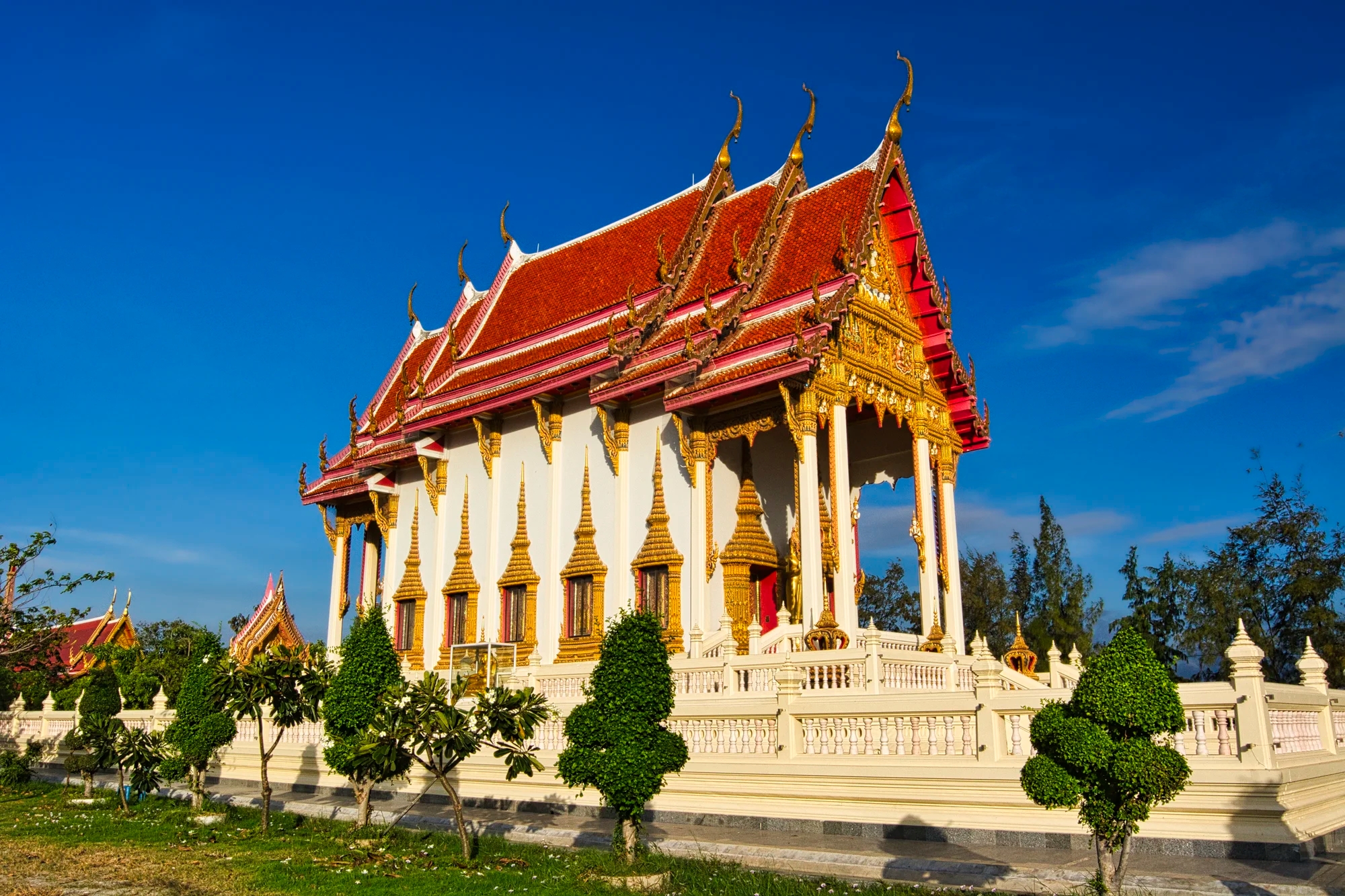
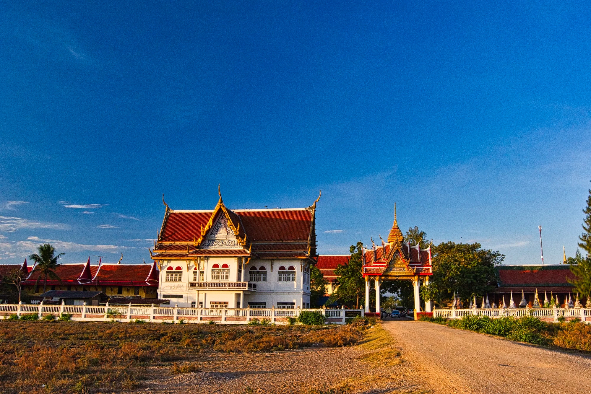

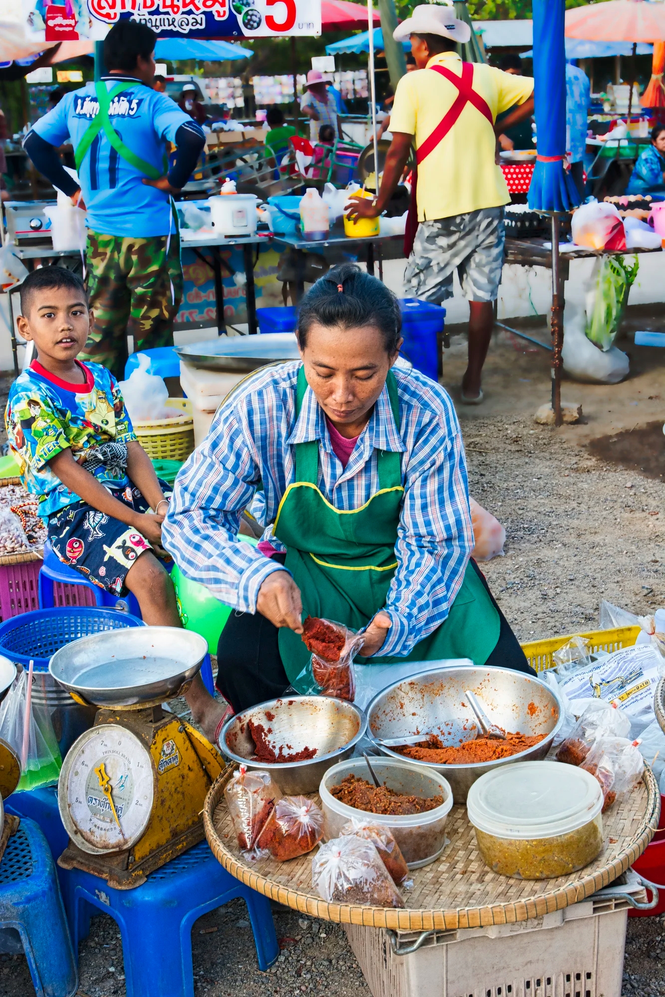


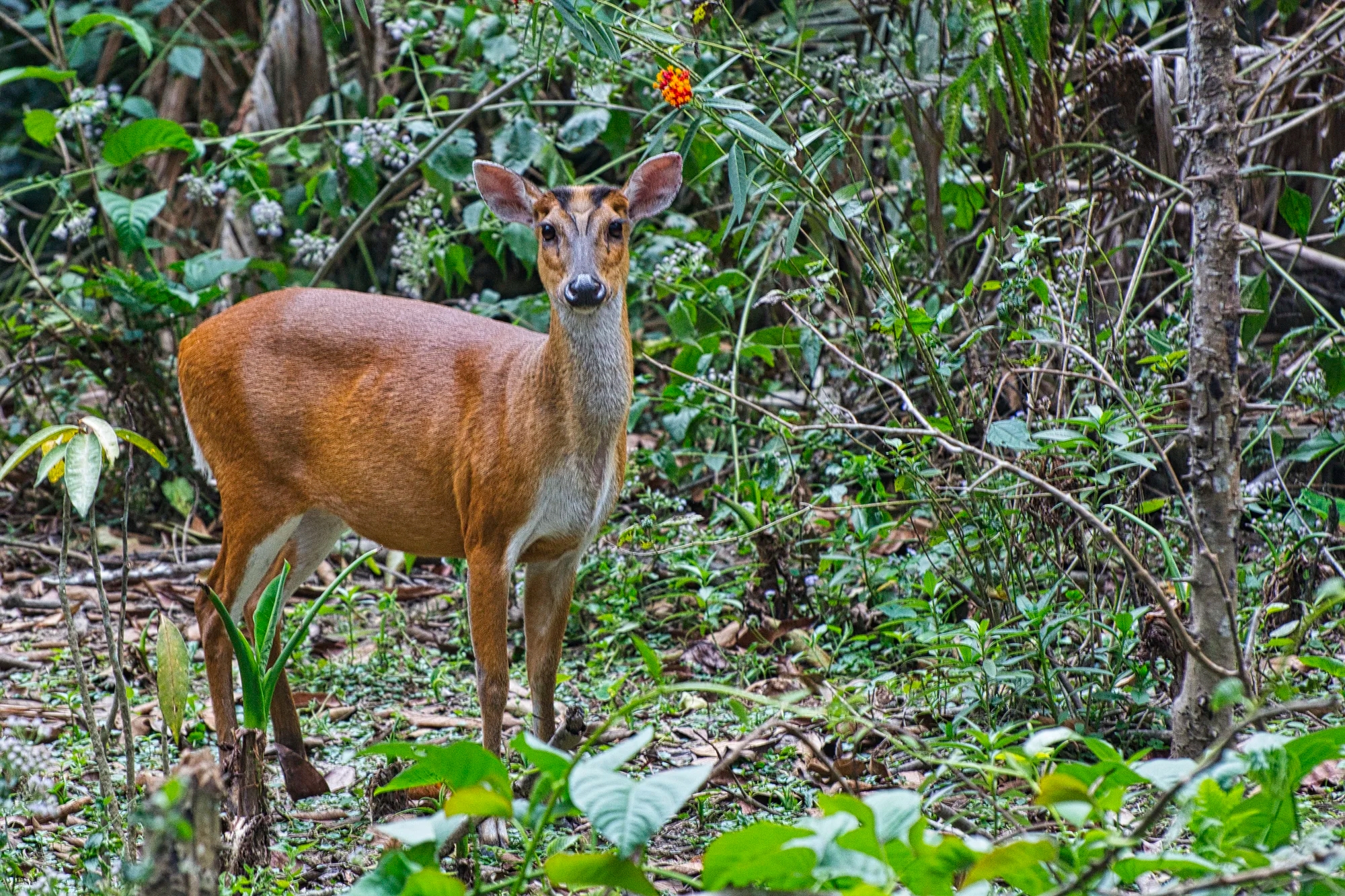
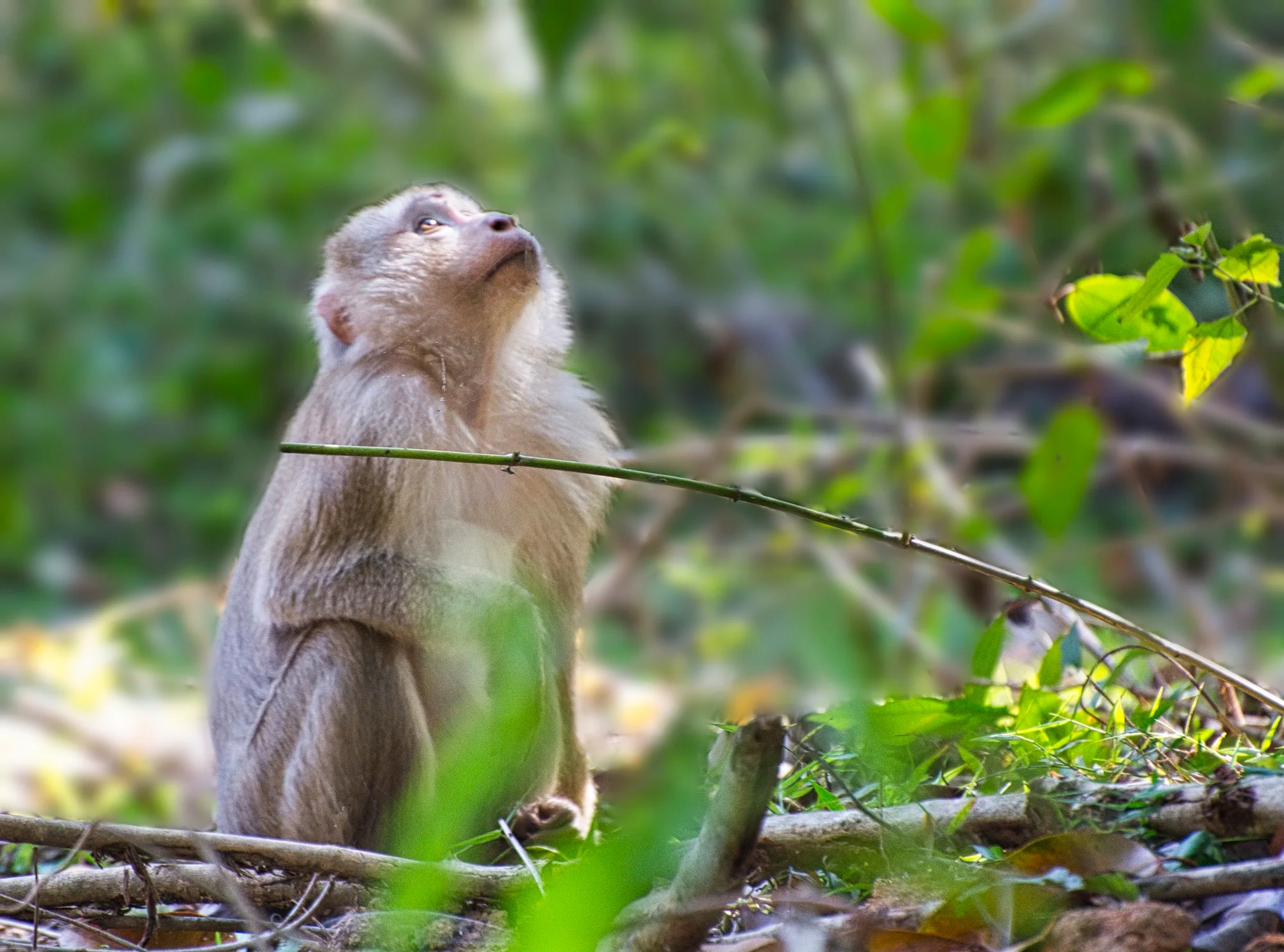


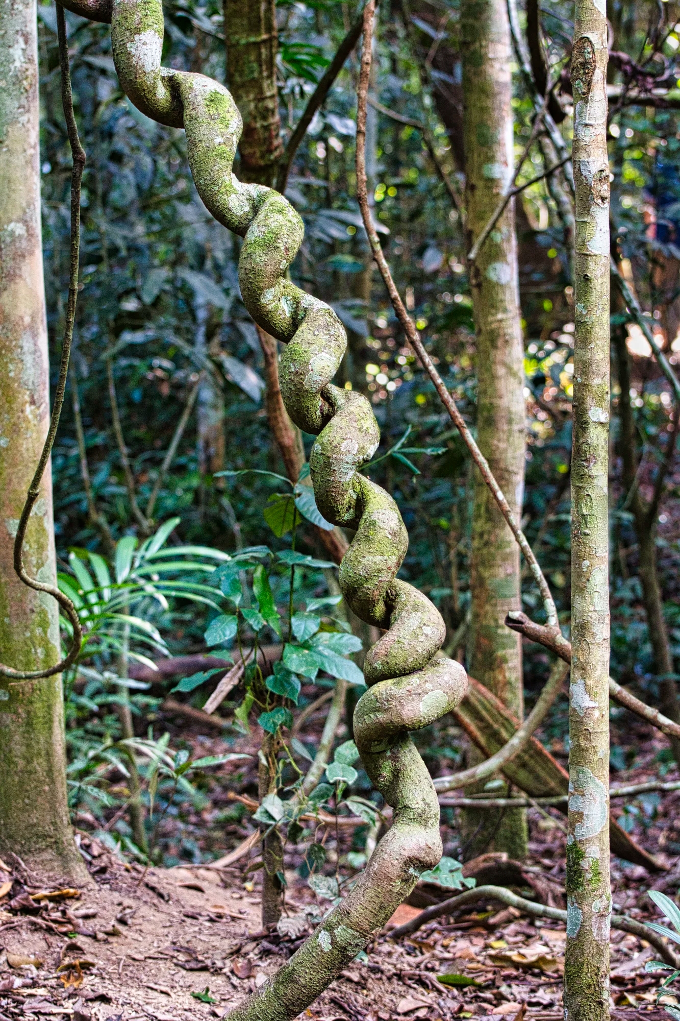
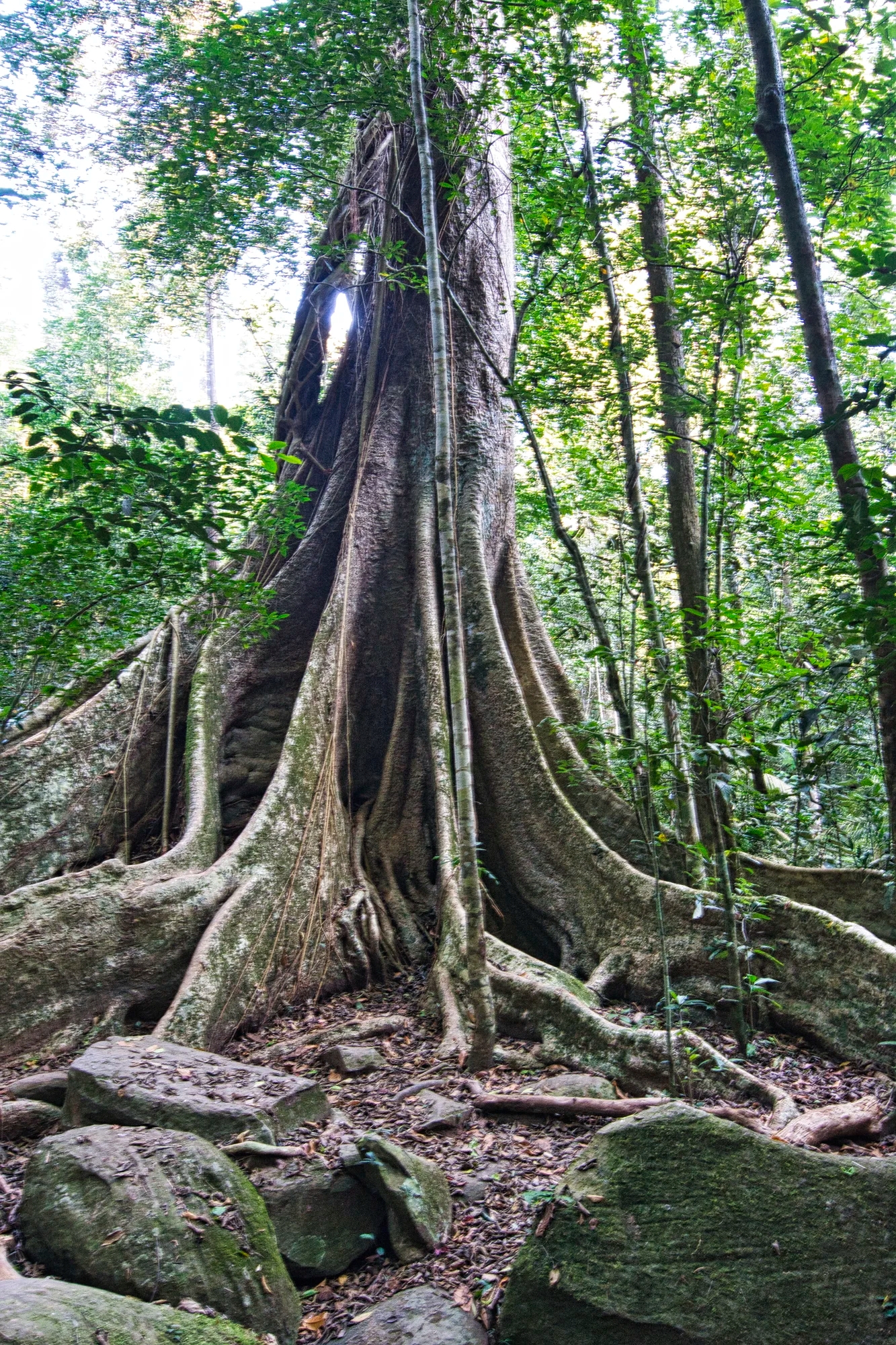

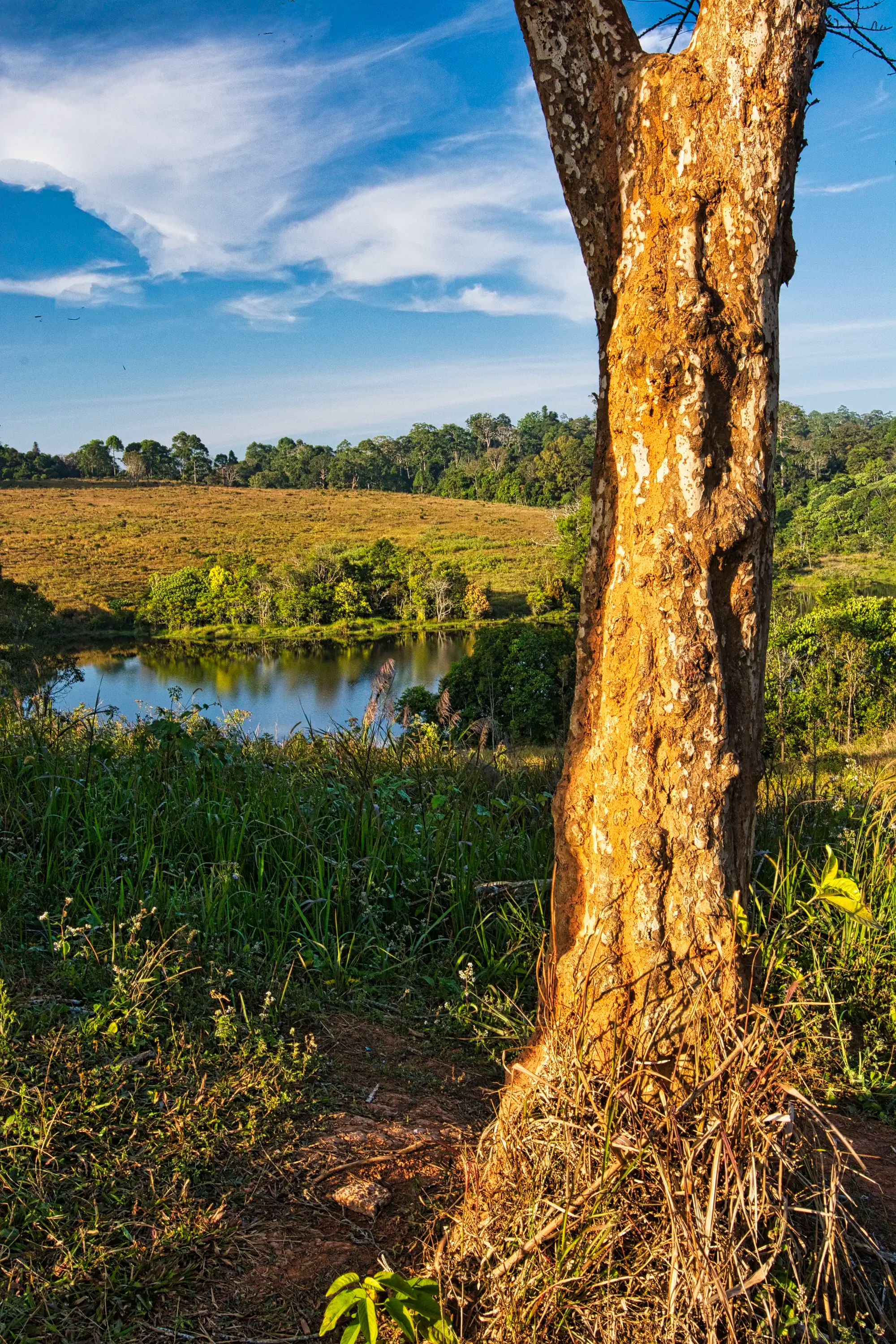

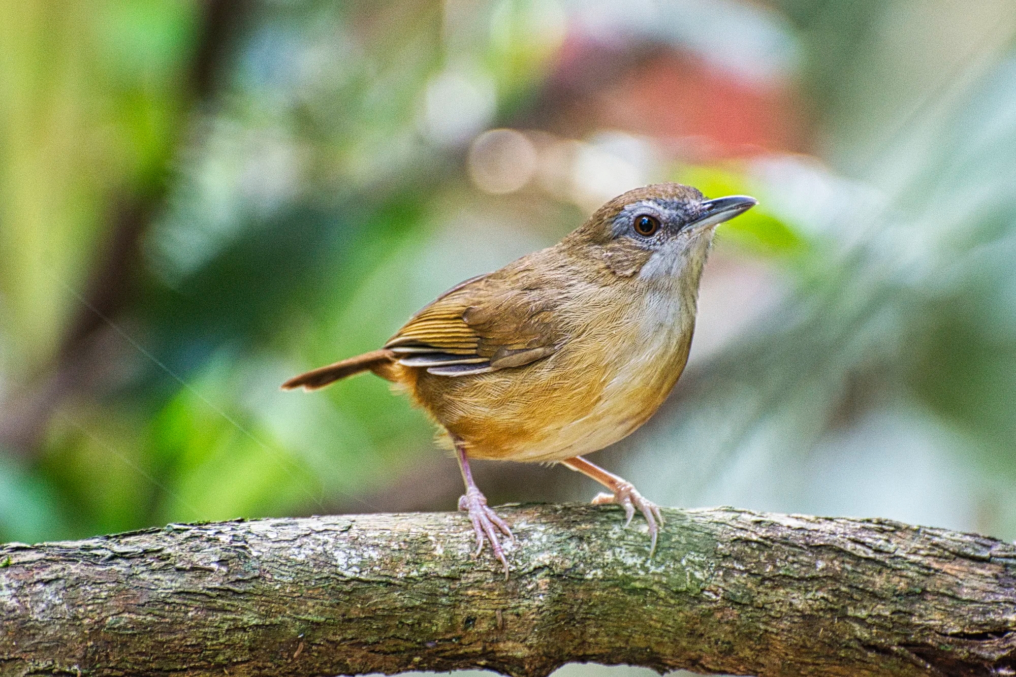


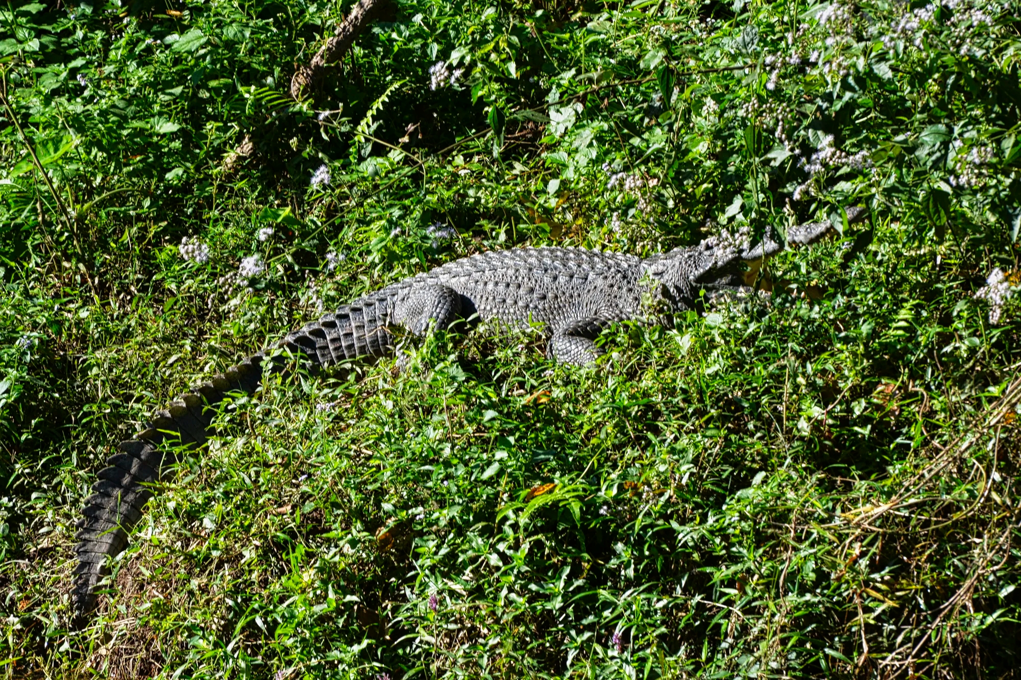

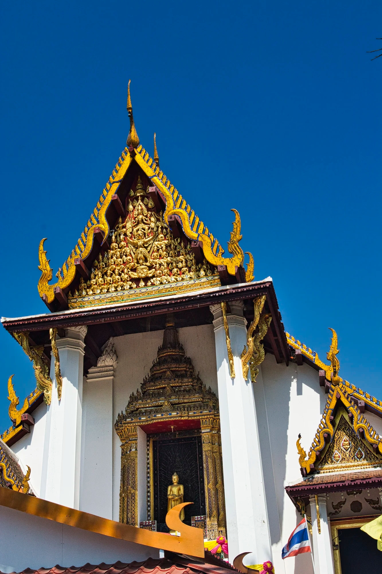


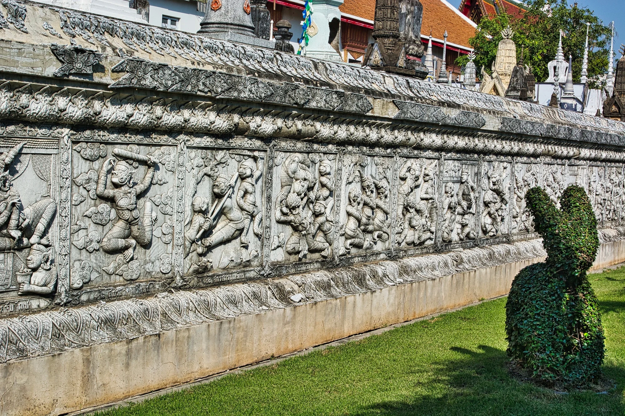


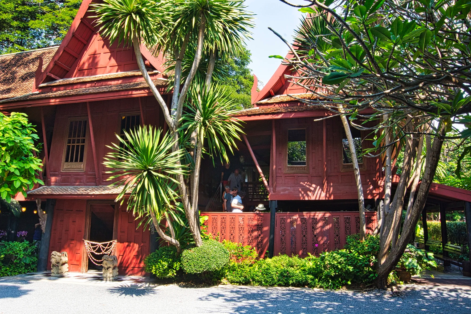


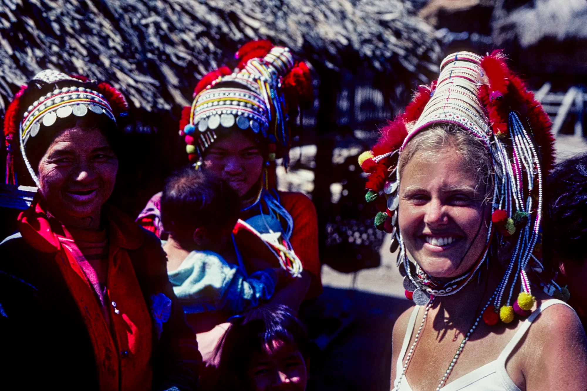

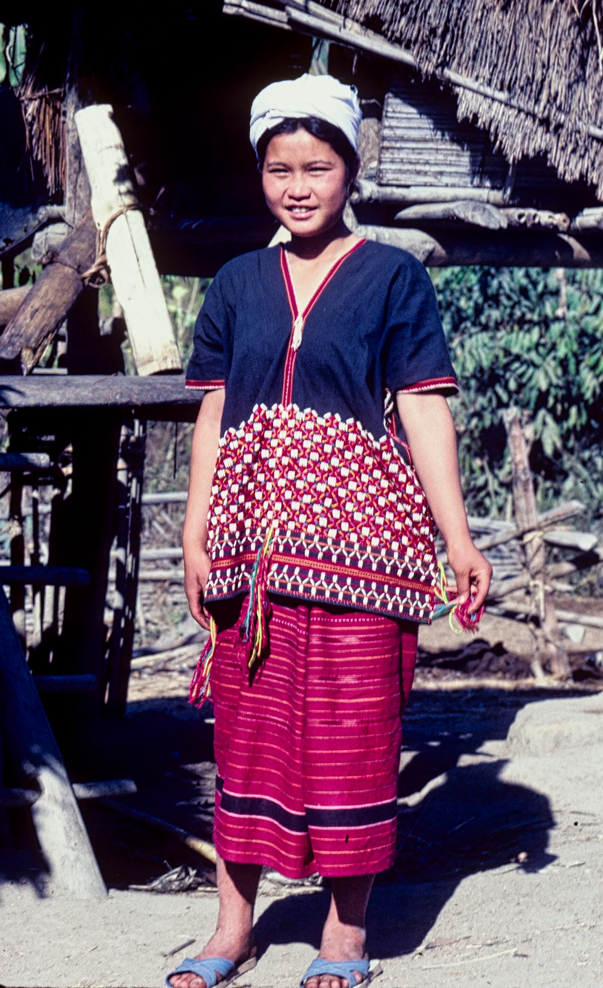


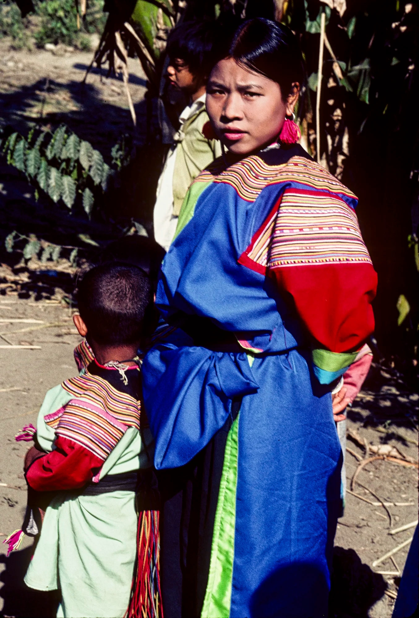


Leave a comment